Kayfield Plantation

Wood, Forest in Yorkshire Pendle

England

Kayfield Plantation

Toposcope in Letcliffe Park With a commanding view over the town of Barnoldswick.
Toposcope in Letcliffe Park Credit: Oliver Dixon

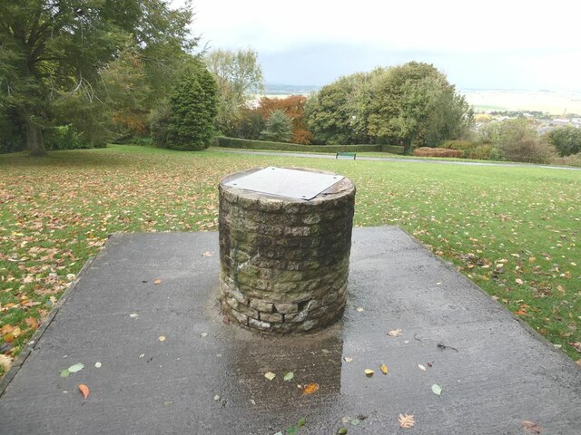
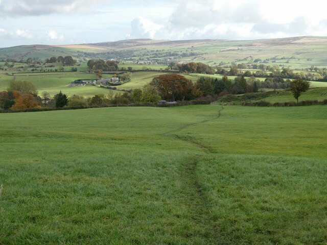
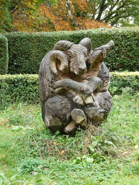
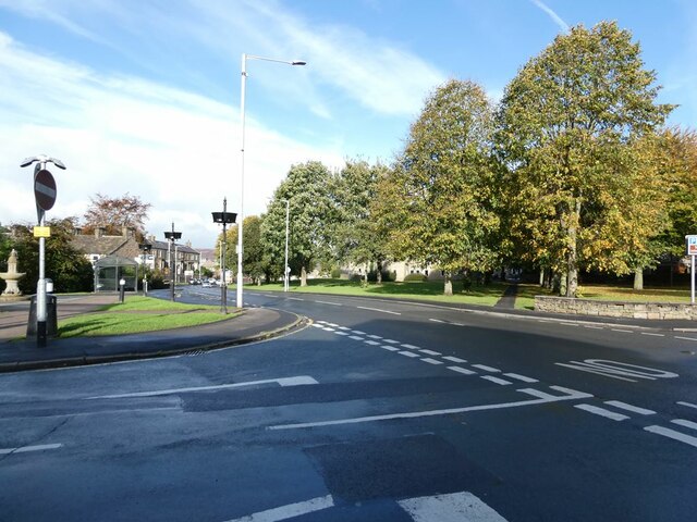
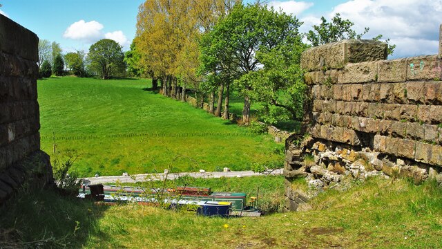
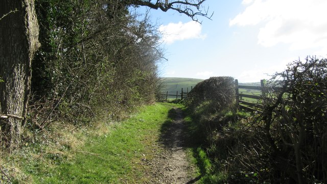
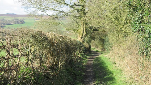
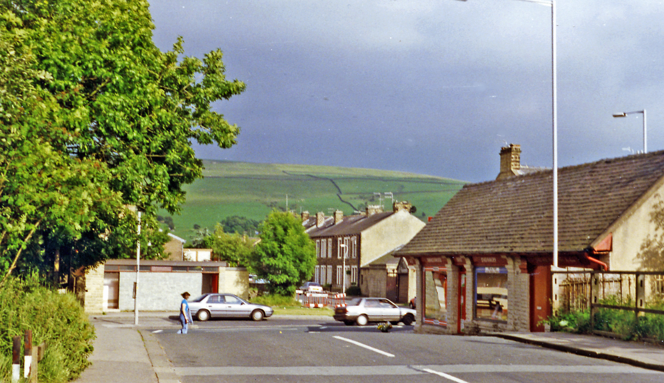
Kayfield Plantation is a picturesque woodland located in Yorkshire, England. Situated within the stunning countryside, this plantation covers a vast area and is known for its dense forests and abundant wildlife. Comprising predominantly of woodlands, Kayfield Plantation offers a tranquil and serene environment for nature enthusiasts and visitors alike.

The plantation is characterized by its lush greenery, with tall, majestic trees towering above the forest floor. Oak, beech, and pine trees dominate the landscape, providing a diverse ecosystem for various flora and fauna to thrive. Walking through the plantation, visitors are greeted by a symphony of birdsong and the rustling of leaves, creating a peaceful and immersive experience.

The woodland is also home to a wide array of animals, including rabbits, squirrels, and deer. Keen-eyed visitors may even catch a glimpse of the elusive red fox or the occasional badger. Kayfield Plantation is a popular destination for birdwatching, with numerous species of birds inhabiting the area, such as woodpeckers, owls, and various songbirds.

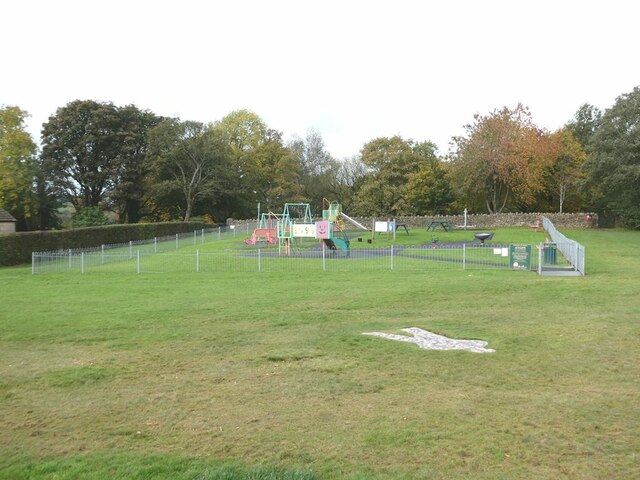
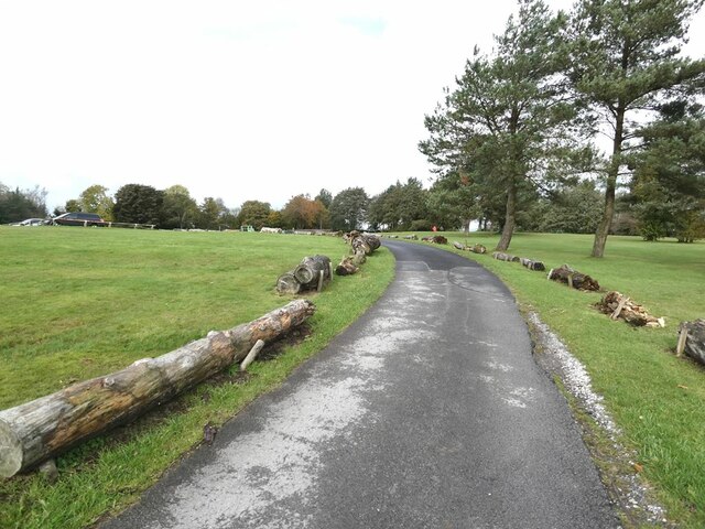
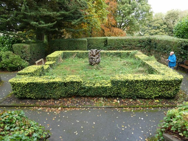
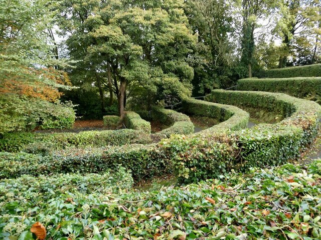
In addition to its natural beauty, Kayfield Plantation offers various recreational activities for visitors. There are several well-maintained walking trails, allowing visitors to explore the woodland and enjoy the stunning vistas. Picnic areas are scattered throughout the plantation, providing a perfect spot for a relaxing lunch amidst nature.

Overall, Kayfield Plantation is a haven for nature lovers, offering a breathtaking display of Yorkshire's natural beauty. With its lush forests, diverse wildlife, and tranquil ambiance, it is a must-visit destination for both locals and tourists seeking a peaceful escape from the hustle and bustle of everyday life.

If you have any feedback on the listing, please let us know in the comments section below.

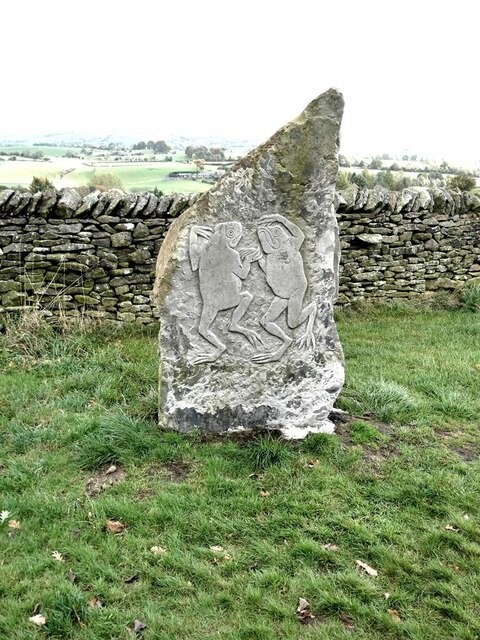
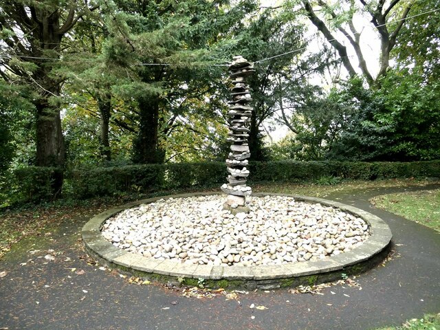
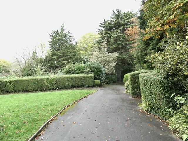
Kayfield Plantation Images

Images are sourced within 2km of 53.914081/-2.1614888 or Grid Reference SD8946. Thanks to Geograph Open Source API. All images are credited.

Toposcope in Letcliffe Park With a commanding view over the town of Barnoldswick.
Toposcope in Letcliffe Park
With a commanding view over the town of Barnoldswick.
Play area in Letlcliffe Park With the No. 3 Shadow Man sculpture let into the grass in the foreground.
Play area in Letlcliffe Park
With the No. 3 Shadow Man sculpture let into the grass in the foreground.
"No. 3 Shadow Man" Ingenious horizontal artwork by Stathis Dimitriadis, comprising a mosaic of coloured and lettered bricks or tiles in the form of a human outline. Part of the Pendle Sculpture Trail which, from its original site in Barley, was extended in 2019 to Letcliffe Park in Barnoldswick.
"No. 3 Shadow Man"
Ingenious horizontal artwork by Stathis Dimitriadis, comprising a mosaic of coloured and lettered bricks or tiles in the form of a human outline. Part of the Pendle Sculpture Trail which, from its original site in Barley, was extended in 2019 to Letcliffe Park in Barnoldswick.
Roadway in Letcliffe Park Attractive hilltop park managed by Barnoldswick Town Council.
Roadway in Letcliffe Park
Attractive hilltop park managed by Barnoldswick Town Council.
"Frogspell" Relief sculpture by Tilly Dagnell. Part of the Pendle Sculpture Trail which, from its original site in Barley, was extended in 2019 to Letcliffe Park in Barnoldswick.
"Frogspell"
Relief sculpture by Tilly Dagnell. Part of the Pendle Sculpture Trail which, from its original site in Barley, was extended in 2019 to Letcliffe Park in Barnoldswick.
Field and path to the east of Letcliffe Park
"Tower of Barlick" Spectacular sculpture by Jack Boutet. Firmly anchored by stays to the apex to stop it from blowing/falling over. Part of the Pendle Sculpture Trail which, from its original site in Barley, was extended in 2019 to Letcliffe Park in Barnoldswick.
"Tower of Barlick"
Spectacular sculpture by Jack Boutet. Firmly anchored by stays to the apex to stop it from blowing/falling over. Part of the Pendle Sculpture Trail which, from its original site in Barley, was extended in 2019 to Letcliffe Park in Barnoldswick.
A corner of Letcliffe Country Park An attractive hilltop park managed by Barnoldswick Town Council.
A corner of Letcliffe Country Park
An attractive hilltop park managed by Barnoldswick Town Council.
"Stolen Mutton" Interesting and spectacular wooden carved sculpture by Thompson Dagnell. Part of the Pendle Sculpture Trail which, from its original site in Barley, was extended in 2019 to Letcliffe Country Park in Barnoldswick.
"Stolen Mutton"
Interesting and spectacular wooden carved sculpture by Thompson Dagnell. Part of the Pendle Sculpture Trail which, from its original site in Barley, was extended in 2019 to Letcliffe Country Park in Barnoldswick.
Parterre in Letcliffe Country Park In the centre of the square stands the "Stolen Mutton" sculpture, seen in closeup in <a href="https://www.geograph.org.uk/photo/7002301">SD8746 : "Stolen Mutton"</a>.
Parterre in Letcliffe Country Park
In the centre of the square stands the "Stolen Mutton" sculpture, seen in closeup in SD8746 : "Stolen Mutton".
Bandstand in Letcliffe Country Park No ordinary bandstand, this. There is no roofed structure as one would expect, just a focal paved areas overlooked by an auditorium consisting of a quadrant of terraces separated by privet hedges. Whether it is actually used for live performances is not known.
Bandstand in Letcliffe Country Park
No ordinary bandstand, this. There is no roofed structure as one would expect, just a focal paved areas overlooked by an auditorium consisting of a quadrant of terraces separated by privet hedges. Whether it is actually used for live performances is not known.
A very pretty postbox Standing by the crossroads in the centre of Barnoldswick.
A very pretty postbox
Standing by the crossroads in the centre of Barnoldswick.
Crossroads in the centre of Barnoldswick.
Course of Former Railway The branch line to Barnoldswick left this high embankment to cross the Leeds and Liverpool Canal and run parallel with the line of trees and on to its destination
Course of Former Railway
The branch line to Barnoldswick left this high embankment to cross the Leeds and Liverpool Canal and run parallel with the line of trees and on to its destination
Old Milestone, on the B6252, junction UC road, Gledstone Road, to West Marton Located on the North side of road, on verge. Carved stone post, erected by Skipton & Clitheroe turnpike trust, 18th century. 

Inscription reads: {hand to left} / Settel / M 8 :: {hand to left} / CLITHEROW / Miles 7 / {hand to right} / Skipton / Ms 5 

Milestone Society National ID: YN_SKBCK05
Old Milestone, on the B6252, junction UC road, Gledstone Road, to West Marton
Located on the North side of road, on verge. Carved stone post, erected by Skipton & Clitheroe turnpike trust, 18th century. Inscription reads: {hand to left} / Settel / M 8 :: {hand to left} / CLITHEROW / Miles 7 / {hand to right} / Skipton / Ms 5 Milestone Society National ID: YN_SKBCK05
Public footpath from B6383 Looking SE at footpath leaving B6383
Public footpath from B6383
Looking SE at footpath leaving B6383
Pennine Bridleway near Salterforth Looking East along Pennine Bridleway near Spen Head Farm
Pennine Bridleway near Salterforth
Looking East along Pennine Bridleway near Spen Head Farm
Pennine Bridleway near Salterforth Looking West down the Pennine Bridleway near Spen Head Farm
Pennine Bridleway near Salterforth
Looking West down the Pennine Bridleway near Spen Head Farm
Show me another place!

Kayfield Plantation is located at Grid Ref: SD8946 (Lat: 53.914081, Lng: -2.1614888)

Division: West Riding

Administrative County: Lancashire

District: Pendle

Police Authority: Lancashire

What 3 Words

///scorpions.armrest.copycat. Near Earby, Lancashire

Related Wikis

Little Cut

The Little Cut, also known as the Rain Hall Rock Branch or the Rain Hall Rock Canal, was a short canal connecting the Leeds and Liverpool Canal at Barnoldswick...

Earby railway station

Earby railway station was a junction station that served the town of Earby, in the West Riding of Yorkshire, England. Since 1974 Earby is within the boundaries...

Earby

Earby is a town and civil parish within the Borough of Pendle, Lancashire, England. Although within the boundaries of the historic West Riding of Yorkshire...

Salterforth

Salterforth is a village and civil parish within the Borough of Pendle in Lancashire, England. The population of the Civil Parish at the 2011 census was...

Nearby Amenities

Located within 500m of 53.914081,-2.1614888
Natural: peak
Source: OS 1:25k
Lat/Long: 53.9129549/-2.1602022
Power: pole
Lat/Long: 53.9119098/-2.1586365
Power: pole
Lat/Long: 53.9138341/-2.1592642
Power: pole
Lat/Long: 53.9143586/-2.1544415
Power: pole
Lat/Long: 53.9149747/-2.1607984
Power: pole
Lat/Long: 53.9170133/-2.1560462
Power: pole
Lat/Long: 53.9137361/-2.154699
Power: pole
Lat/Long: 53.9131974/-2.15567
Power: pole
Lat/Long: 53.9165789/-2.1571211
Power: pole
Lat/Long: 53.9104847/-2.1581698
Power: pole
Lat/Long: 53.9159288/-2.1620751
Power: pole
Lat/Long: 53.9150971/-2.1540912
Power: pole
Lat/Long: 53.913161/-2.1590281
Power: pole
Lat/Long: 53.9111917/-2.1566125
Power: pole
Lat/Long: 53.9119027/-2.156693
Power: pole
Lat/Long: 53.9126832/-2.1589208
Power: pole
Lat/Long: 53.9119257/-2.157875
Power: pole
Lat/Long: 53.917116/-2.1582916
Power: pole
Lat/Long: 53.9157274/-2.1578544
Power: pole
Lat/Long: 53.9115601/-2.1558293
Power: pole
Lat/Long: 53.9111009/-2.1583898
Power: pole
Lat/Long: 53.9126681/-2.1568045
Power: pole
Lat/Long: 53.9116096/-2.1556821
Power: pole
Lat/Long: 53.916402/-2.1580663
Power: pole
Lat/Long: 53.9177984/-2.1585276
Power: pole
Lat/Long: 53.9171927/-2.1637409
Power: pole
Lat/Long: 53.9109579/-2.1559906
Power: pole
Lat/Long: 53.914003/-2.1633974
Power: pole
Lat/Long: 53.913706/-2.1640854
Power: pole
Lat/Long: 53.9133932/-2.1648498
Power: pole
Lat/Long: 53.9129256/-2.1659669
Power: pole
Lat/Long: 53.9124943/-2.1658489
Power: pole
Lat/Long: 53.9116253/-2.1655874
Power: pole
Lat/Long: 53.9110613/-2.1654238
Power: pole
Lat/Long: 53.9104854/-2.1652628
Power: pole
Lat/Long: 53.9158403/-2.1677989
Power: pole
Lat/Long: 53.915071/-2.167587
Power: pole
Lat/Long: 53.9144643/-2.1674556
Power: pole
Lat/Long: 53.9136002/-2.1668896
Power: pole
Lat/Long: 53.9125859/-2.1662352
Power: pole
Lat/Long: 53.9120724/-2.1660715
Power: pole
Lat/Long: 53.9114974/-2.165865
Power: pole
Lat/Long: 53.9109649/-2.1656612
Power: pole
Lat/Long: 53.9104285/-2.1654573
Power: pole
Lat/Long: 53.910325/-2.1641363
Power: pole
Lat/Long: 53.9110652/-2.1571639
Power: pole
Lat/Long: 53.9106276/-2.1583615
Power: pole
Lat/Long: 53.9103045/-2.1596289
Power: pole
Lat/Long: 53.9099964/-2.1609217
Power: pole
Lat/Long: 53.9097499/-2.1619302
Power: pole
Lat/Long: 53.9121815/-2.1595323
Power: pole
Lat/Long: 53.9116119/-2.1602391
Power: pole
Lat/Long: 53.9110226/-2.1609566
Power: pole
Lat/Long: 53.9101568/-2.1623768
Power: pole
Lat/Long: 53.9098163/-2.1630929
Power: pole
Lat/Long: 53.910058/-2.1621528
Power: pole
Lat/Long: 53.9103614/-2.1614125
Power: pole
Lat/Long: 53.9108654/-2.1601224
Power: pole
Lat/Long: 53.9113978/-2.1588537
Power: pole
Lat/Long: 53.9124927/-2.156897
Power: pole
Lat/Long: 53.9132874/-2.1570057
Power: pole
Lat/Long: 53.9139319/-2.1572337
Power: pole
Lat/Long: 53.915101/-2.1576467
Power: pole
Lat/Long: 53.9144896/-2.1621716
Power: pole
Lat/Long: 53.9149256/-2.1611148
Power: pole
Lat/Long: 53.9156713/-2.1593499
Power: pole
Lat/Long: 53.9161176/-2.1582247
The data included in this document is from www.openstreetmap.org. The data is made available under ODbL.

Have you been to Kayfield Plantation?

Leave your review of Kayfield Plantation below (or comments, questions and feedback).