Brickkiln Copse
Wood, Forest in Wiltshire
England
Brickkiln Copse
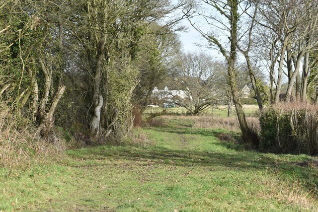
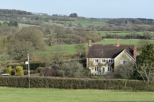
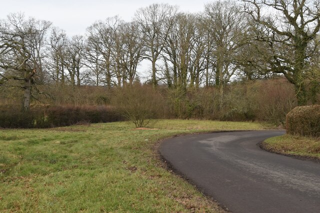
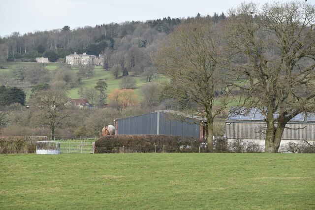
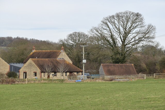
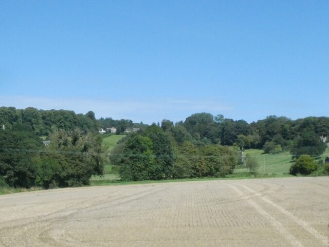
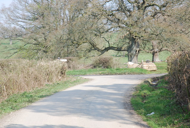
Brickkiln Copse is a picturesque woodland located in Wiltshire, England. With its lush greenery, diverse wildlife, and tranquil atmosphere, it serves as an idyllic escape for nature enthusiasts and outdoor lovers alike.
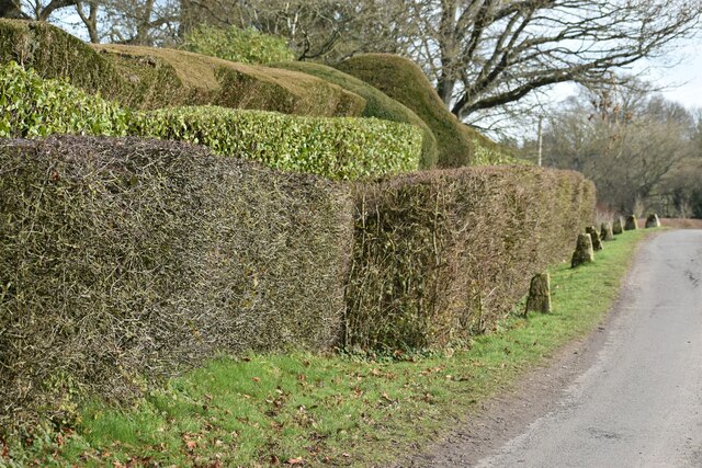
Covering an area of approximately 50 acres, Brickkiln Copse is predominantly composed of a mix of deciduous and coniferous trees. The woodland is known for its dense canopy, which provides a cool and shaded environment during the summer months. The trees found here include oak, beech, ash, and various species of pine. This diverse range of trees ensures a vibrant display of colors during autumn, making it a popular spot for photographers and visitors looking to witness nature's beauty.
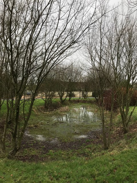
The copse is home to a wide variety of wildlife, including deer, foxes, badgers, and an array of bird species. Birds such as woodpeckers, owls, and various songbirds can be observed and heard throughout the woodland, adding to its enchanting ambiance. Nature enthusiasts will also appreciate the copse's rich flora, with a carpet of bluebells and wildflowers adorning the forest floor in spring.
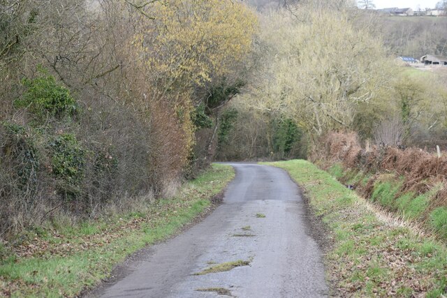
Brickkiln Copse offers a network of well-maintained footpaths and trails, allowing visitors to explore its natural beauty at their own pace. The copse is also equipped with picnic areas and benches, providing a perfect spot for a leisurely lunch or a moment of quiet reflection.
Overall, Brickkiln Copse in Wiltshire is a haven of tranquility and natural beauty, offering visitors a chance to immerse themselves in the wonders of the British countryside.
If you have any feedback on the listing, please let us know in the comments section below.
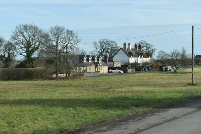
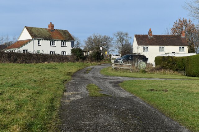
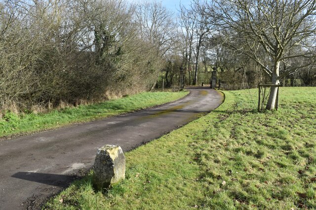
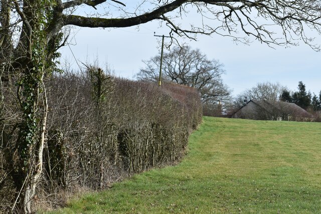
Brickkiln Copse Images
Images are sourced within 2km of 51.047666/-2.1535448 or Grid Reference ST8927. Thanks to Geograph Open Source API. All images are credited.


Brickkiln Copse is located at Grid Ref: ST8927 (Lat: 51.047666, Lng: -2.1535448)
Unitary Authority: Wiltshire
Police Authority: Wiltshire
What 3 Words
///index.heartache.frost. Near Motcombe, Dorset
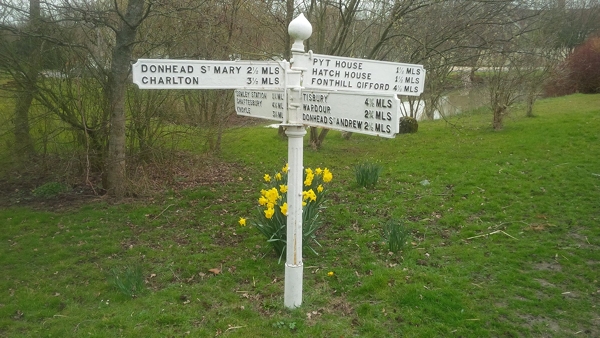
Nearby Locations
Related Wikis

Semley
Semley is a village and former civil parish, now in the parish of Sedgehill and Semley, in Wiltshire, England, about 3 miles (4.8 km) north-east of Shaftesbury...

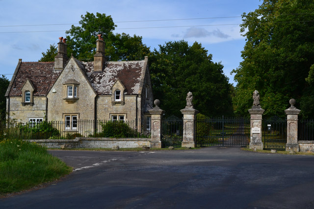
Pythouse
Pythouse, sometimes spelled Pyt House and pronounced pit-house, is a country house in southwest Wiltshire, in the west of England. It is about 2+1⁄2 miles...

Gutch Common
Gutch Common (grid reference ST896259) is a 35.1 hectare biological Site of Special Scientific Interest in Wiltshire, notified in 1951. == Sources == Natural...

Sedgehill and Semley
Sedgehill and Semley is a civil parish in the English county of Wiltshire, about 3 miles (4.8 km) north of the town of Shaftesbury on the main A350 road...

Semley railway station
Semley was a railway station in Wiltshire, England. It was served by trains on the West of England Main Line and was the railhead for the town of Shaftesbury...
West Tisbury, Wiltshire
West Tisbury is a civil parish in southwest Wiltshire, England. The parish takes in the southwestern quarter of the village of Tisbury and extends about...

Sedgehill
Sedgehill is a small village and former civil parish, now in the parish of Sedgehill and Semley, in the southwest of the county of Wiltshire, England....

East Knoyle
East Knoyle is a village and civil parish in Wiltshire, in the south-west of England, just west of the A350 and about 9 miles (14 km) south of Warminster...
Have you been to Brickkiln Copse?
Leave your review of Brickkiln Copse below (or comments, questions and feedback).