Lodge Plantation

Wood, Forest in Cheshire

England

Lodge Plantation

Macclesfield Canal A beautiful canal walk.
Macclesfield Canal Credit: steven ruffles

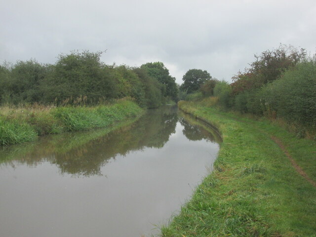
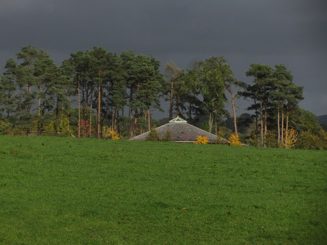
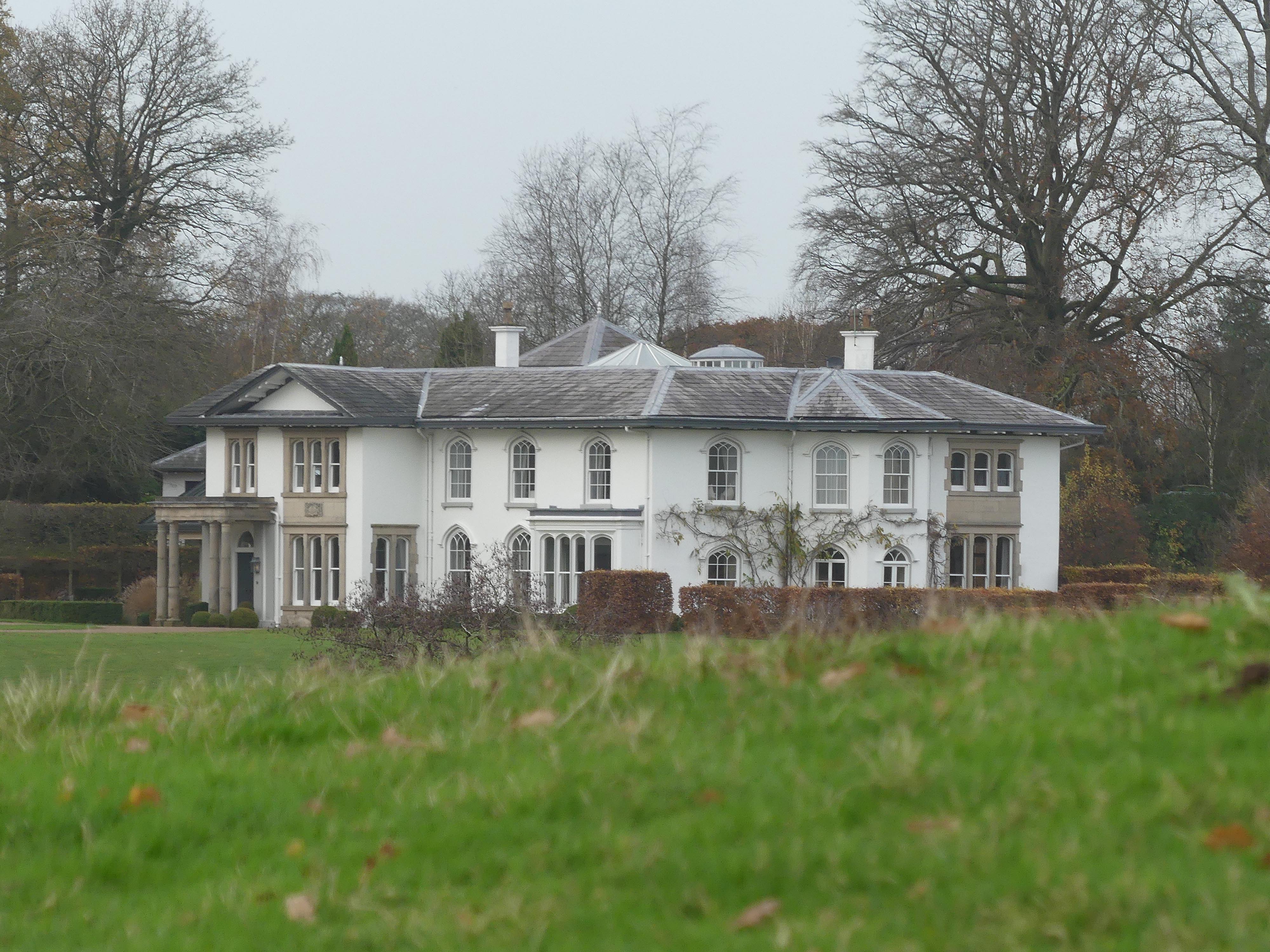
Lodge Plantation is a picturesque woodland located in the county of Cheshire, England. Situated in the heart of the scenic Cheshire countryside, this sprawling forest covers an area of approximately X square kilometers. It is a popular destination for nature lovers, hikers, and wildlife enthusiasts.

The woodland is characterized by a diverse range of tree species, including oak, beech, birch, and pine, creating a rich and vibrant ecosystem. The dense canopy of trees provides a sheltered habitat for a variety of wildlife, such as deer, foxes, badgers, and numerous bird species. It is not uncommon to spot rare and protected species in this natural haven.

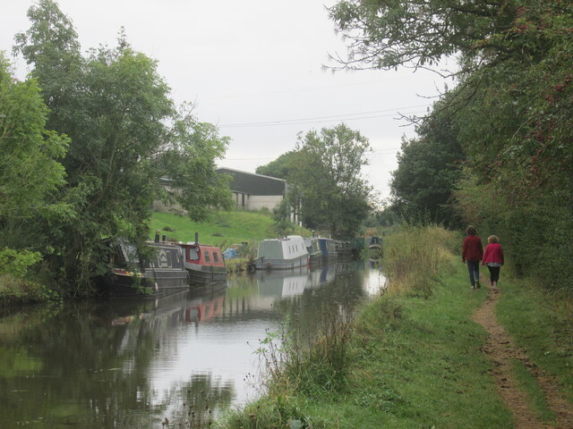
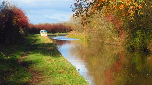
Lodge Plantation boasts a network of well-maintained trails and pathways, allowing visitors to explore its beauty at their own pace. These paths cater to all levels of ability, from leisurely strolls to more challenging hikes. The forest also offers designated picnic areas and seating, providing a perfect spot to rest and soak in the tranquil surroundings.

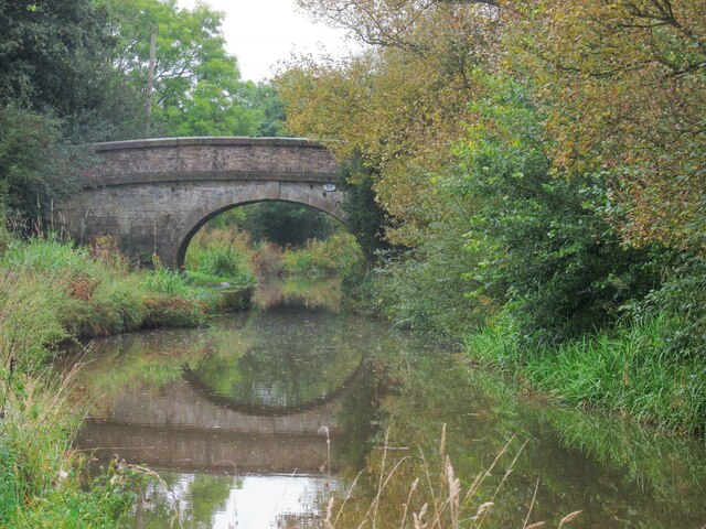
In addition to its natural beauty, Lodge Plantation has historical significance. The forest is dotted with remnants of ancient settlements and archaeological sites, including Iron Age hillforts and burial mounds. These archaeological features offer a glimpse into the rich history and cultural heritage of the area.

Overall, Lodge Plantation in Cheshire is a haven for nature enthusiasts and history buffs alike. Its stunning woodland, diverse wildlife, and historical significance make it an ideal destination for those seeking a peaceful escape into nature.

If you have any feedback on the listing, please let us know in the comments section below.

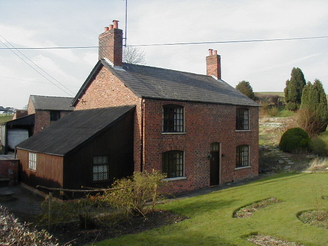
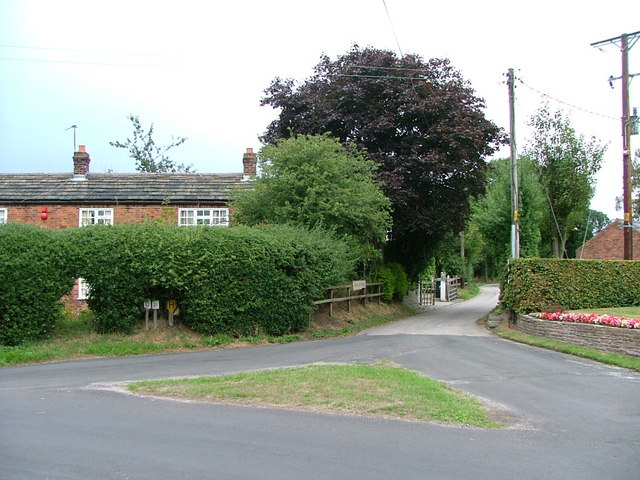
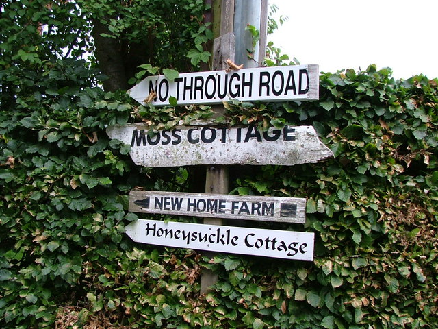
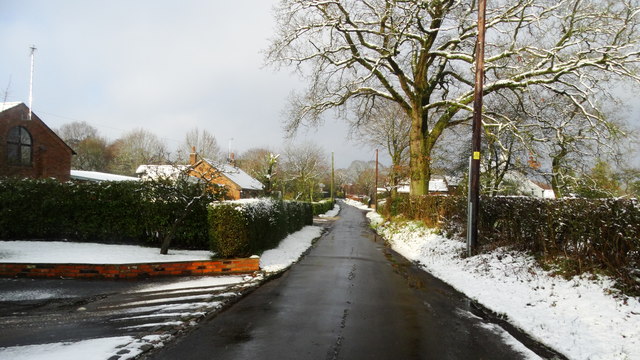
Lodge Plantation Images

Images are sourced within 2km of 53.217637/-2.1633161 or Grid Reference SJ8968. Thanks to Geograph Open Source API. All images are credited.

Macclesfield Canal A beautiful canal walk.
Macclesfield Canal
A beautiful canal walk.
Bridge across the Macclesfield Canal Cowbrook Lane.
Bridge across the Macclesfield Canal
Cowbrook Lane.
Macclesfield Canal A walk along the towpath.
Macclesfield Canal
A walk along the towpath.
View towards Croker Hill from path W of Mount Farm, Gawsworth
The Macclesfield Canal - near Crow Holt Bridge
Lane Ends Farm, Gawsworth
Moss Houses A hamlet in Gawsworth parish.
Moss Houses
A hamlet in Gawsworth parish.
Signs in Moss Houses
Fingerpost at Nancy's Wood Cheshire County Council cast iron post with annulus finial.
Fingerpost at Nancy's Wood
Cheshire County Council cast iron post with annulus finial.
Wardle Crescent, Gawsworth Despite the name, the road is straight, although there is a slight curve to the row of former council houses. The road forms part of Sustrans route 55. Properly, this part of the village is Warren, Gawsworth proper consisting of the small number of buildings round the Hall and church.
Wardle Crescent, Gawsworth
Despite the name, the road is straight, although there is a slight curve to the row of former council houses. The road forms part of Sustrans route 55. Properly, this part of the village is Warren, Gawsworth proper consisting of the small number of buildings round the Hall and church.
Nancy's Wood, Gawsworth A small area of woodland with the Ben Brook running through it, taken in hand by the parish council as recreation woodland. Stepping stones and a basic footbridge add interest to the walks.
Nancy's Wood, Gawsworth
A small area of woodland with the Ben Brook running through it, taken in hand by the parish council as recreation woodland. Stepping stones and a basic footbridge add interest to the walks.
Direction signs at the Congleton Road junction with Magoty Lane
Field path running N from Marton Ln, Gawsworth
Old Direction Sign - Signpost by Church Lane, Gawsworth Annulus finial - 4 arms; Cheshire CC halo in parish of Gawsworth (Macclesfield District), Maggoty Lane junction with Church Lane.

To be surveyed

Milestone Society National ID: CH_SJ8870A
Old Direction Sign - Signpost by Church Lane, Gawsworth
Annulus finial - 4 arms; Cheshire CC halo in parish of Gawsworth (Macclesfield District), Maggoty Lane junction with Church Lane. To be surveyed Milestone Society National ID: CH_SJ8870A
Winter's day, Lowes Lane, Mosshouses, Gawsworth
Old Milestone, A536, Congleton Road, Gawsworth The milestone is located 50m south of the Maggoty Lane junction, north of The Mount, on the verge, against the wooden fence, on the east side of road. Parish of Gawsworth (Macclesfield District). Cast iron post, Cast iron CCC1896 design, erected by the county council in 1896. Now Well-hidden in hedge, reference Streetview May 2021. The original 18th century stone milestone CH_COMF05a is adjacent.

Inscription reads:-
CONGLETON / 5 MILES : : CHESHIRE / 1896 / COUNTY COUNCIL : : MACCLESFIELD / 3 MILES 

Milestone Society National ID: CH_COMF05
Old Milestone, A536, Congleton Road, Gawsworth
The milestone is located 50m south of the Maggoty Lane junction, north of The Mount, on the verge, against the wooden fence, on the east side of road. Parish of Gawsworth (Macclesfield District). Cast iron post, Cast iron CCC1896 design, erected by the county council in 1896. Now Well-hidden in hedge, reference Streetview May 2021. The original 18th century stone milestone CH_COMF05a is adjacent. Inscription reads:- CONGLETON / 5 MILES : : CHESHIRE / 1896 / COUNTY COUNCIL : : MACCLESFIELD / 3 MILES Milestone Society National ID: CH_COMF05
Kissing gate at junction Shellow Lane & Pexall Rd near Gawsworth
Cloverbank Organic Farm (Eco Lodge) near Gawsworth
Show me another place!

Lodge Plantation is located at Grid Ref: SJ8968 (Lat: 53.217637, Lng: -2.1633161)

Unitary Authority: Cheshire East

Police Authority: Cheshire

What 3 Words

///jumps.object.gladiators. Near Eaton, Cheshire

Nearby Locations

Lodge Plantation

Related Wikis

Gawsworth

Gawsworth is a civil parish and village in the unitary authority of Cheshire East and the ceremonial county of Cheshire, England. The population of the...
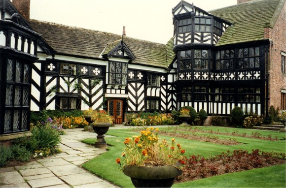
Gawsworth Old Hall

Gawsworth Old Hall is a Grade I listed country house in the village of Gawsworth, Cheshire, England. It is a timber-framed house in the Cheshire black...

Harrington Arms, Gawsworth

The Harrington Arms is in Church Lane, Gawsworth, Cheshire, England, and is recorded in the National Heritage List for England as a designated Grade II...

St James' Church, Gawsworth

St James' Church is in the village of Gawsworth, Cheshire, England, and is sited near Gawsworth Hall. It is recorded in the National Heritage List for...

Gawsworth Old Rectory

Gawsworth Old Rectory is a medieval house in the village of Gawsworth, Cheshire, England. It is known for the rare survival of its "open hall" and the...
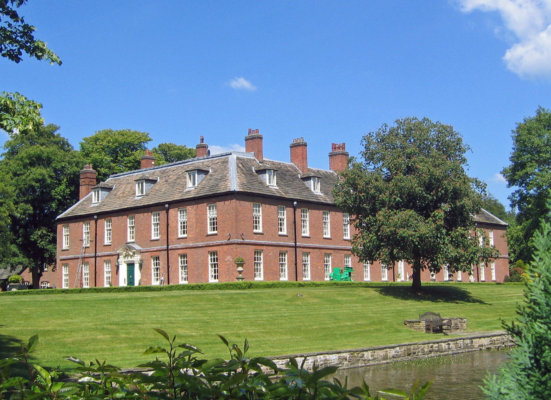
Gawsworth New Hall

Gawsworth New Hall is a country house in the village of Gawsworth, Cheshire, England. It is recorded in the National Heritage List for England as a designated...

Warren, Cheshire

Warren is the traditional name for the largest settlement in the civil parish of Gawsworth in Cheshire, England. It is situated just to the north west...

North Rode Manor

North Rode Manor is a country house standing to the north of the village of North Rode, Cheshire, England. The house was built between 1838 and 1840 for...

Related Videos

Ultreia Mancunia St James’ Day Walk 2022

We visited 4 St James churches in the Peak District in order to celebrate the feast of St James the Apostle (25th July). Great day ...

Walking around the 2023 Gawsworth Hall classic car show!

Recently the magnificent Gawsworth Hall hosted their 2023 classic car show, which I will explore in this video. Possibly my ...

Timelapse travel across the proposed development area

The proposed development area is so big at 55ha we needed to make a timelapse video to show it in all it's glory with it's myriad ...

Have you been to Lodge Plantation?

Leave your review of Lodge Plantation below (or comments, questions and feedback).