Bands Wood
Wood, Forest in Staffordshire Staffordshire Moorlands
England
Bands Wood
Bands Wood is a small village located in the county of Staffordshire, England. Situated in the heart of the picturesque Cannock Chase, it is surrounded by lush greenery and beautiful woodland. The village is part of the larger civil parish of Wood, which also includes the nearby settlements of Brocton and Milford.
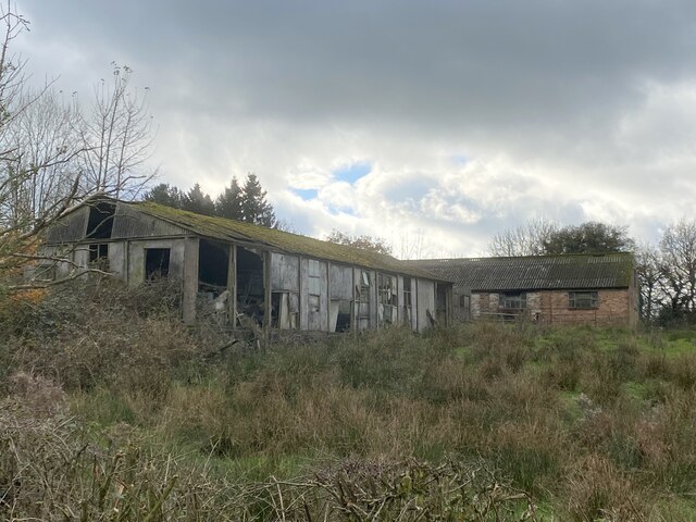
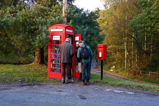
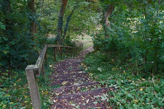
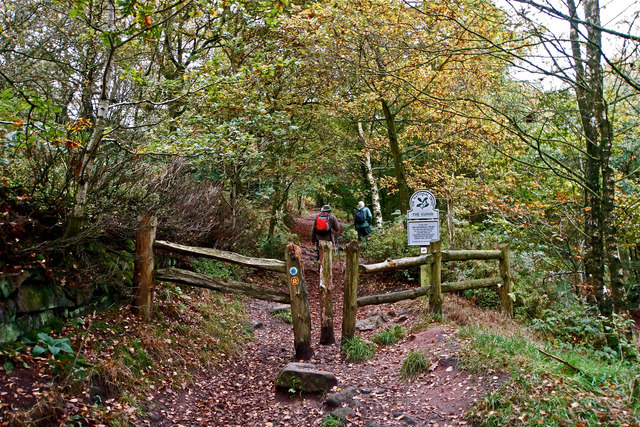
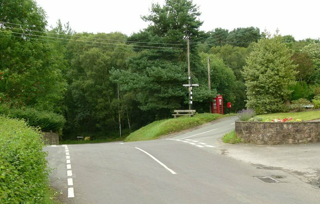
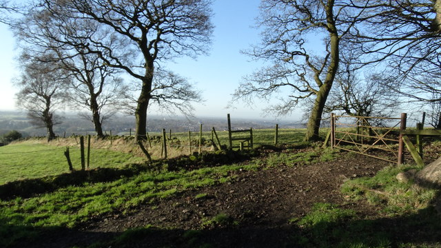
Bands Wood is perhaps best known for its proximity to Cannock Chase, a designated Area of Outstanding Natural Beauty. This makes it an ideal location for those who enjoy outdoor activities such as walking, cycling, and horse riding. The woodland in the area is abundant with diverse flora and fauna, providing a haven for nature enthusiasts.
Despite its rural setting, Bands Wood is within easy reach of several larger towns and cities. The nearby town of Rugeley is just a short drive away, offering a range of amenities including shops, restaurants, and leisure facilities. Additionally, the city of Stafford is located within a 20-minute drive, providing further access to a wider range of services and attractions.
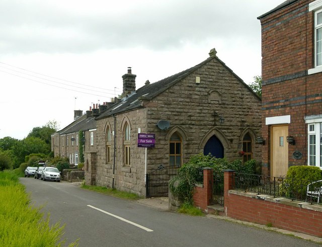
The village itself is characterized by its charming traditional architecture, with many well-preserved historic buildings. The community in Bands Wood is close-knit and friendly, with a strong sense of pride in their village.
Overall, Bands Wood offers a tranquil and idyllic setting, perfect for those seeking a peaceful retreat in the heart of the Staffordshire countryside.
If you have any feedback on the listing, please let us know in the comments section below.
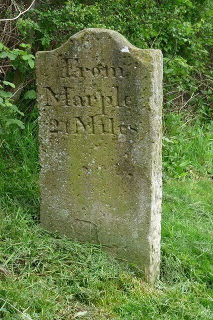
Bands Wood Images
Images are sourced within 2km of 53.14648/-2.1639277 or Grid Reference SJ8961. Thanks to Geograph Open Source API. All images are credited.


Bands Wood is located at Grid Ref: SJ8961 (Lat: 53.14648, Lng: -2.1639277)
Administrative County: Staffordshire
District: Staffordshire Moorlands
Police Authority: Staffordshire
What 3 Words
///ruled.detained.ecologist. Near Biddulph, Staffordshire
Nearby Locations
Related Wikis

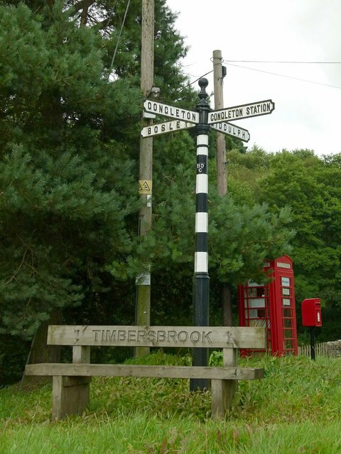
Timbersbrook
Timbersbrook is a small village in the town parish of Congleton, Cheshire, England. == References ==

The Bridestones
The Bridestones is a chambered cairn, near Congleton, Cheshire, England, that was constructed in the Neolithic period about 3500–2400 BC. It was described...

Biddulph Grange
Biddulph Grange is a National Trust landscaped garden, in Biddulph near Stoke-on-Trent, Staffordshire, England. It is separate from Biddulph Grange Country...

Gritstone Trail
The Gritstone Trail, or Cheshire Gritstone Trail, is a 35-mile (56 km) long-distance footpath in England which follows the most westerly hills of the Peak...

Biddulph Grange Country Park
Biddulph Grange Country Park is a country park in Biddulph, UK. It was originally part of Biddulph Grange. == Contents == The 73 acres (0.30 km2) park...

Astbury, Cheshire
Astbury was one of the eight ancient parishes of the Macclesfield Hundred of Cheshire, England. It included two chapelries and ten townships. The chapelry...

Congleton railway station
Congleton railway station is a mainline station serving the Cheshire market town of Congleton. It lies on the Stafford-Manchester branch of the West Coast...

The Cloud (hill)
The Cloud or Bosley Cloud is a prominent hill on the border between Cheshire and Staffordshire a couple of miles west of the Peak District National Park...
Nearby Amenities
Located within 500m of 53.14648,-2.1639277Have you been to Bands Wood?
Leave your review of Bands Wood below (or comments, questions and feedback).