Bale New Plantation

Wood, Forest in Yorkshire Craven

England

Bale New Plantation

Farm buildings by the A59
Farm buildings by the A59 Credit: Anthony Parkes

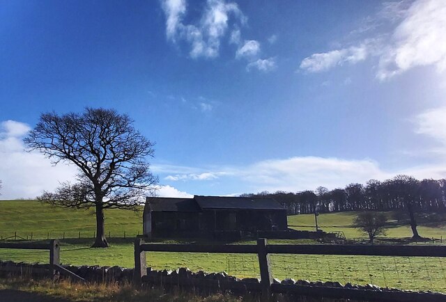
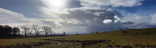
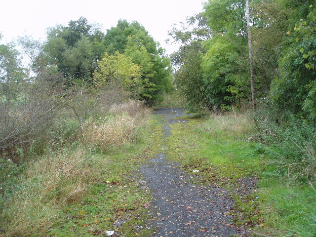
Bale New Plantation is a picturesque woodland located in Yorkshire, England. Covering an area of approximately 200 acres, it is a breathtaking natural haven that attracts visitors from near and far. The plantation is characterized by its dense forest, comprised mainly of various species of trees, including oak, beech, and birch.

The woodlands of Bale New Plantation are home to an array of flora and fauna, making it a popular destination for nature enthusiasts and wildlife lovers. Visitors can expect to observe a diverse range of bird species, such as woodpeckers, owls, and various songbirds, as well as small mammals like squirrels and rabbits.

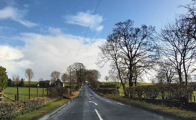
The plantation offers a network of well-maintained trails, allowing visitors to explore the woodland on foot or by bicycle. These paths wind through the forest, providing stunning views of the surrounding landscape and a chance to immerse oneself in the tranquility of nature. Additionally, there are designated picnic areas and benches scattered throughout the plantation, offering opportunities for visitors to relax and enjoy a picnic amidst the natural beauty.

Bale New Plantation also serves as an important conservation site, with efforts in place to protect and preserve the biodiversity of the area. This includes the promotion of sustainable forestry practices and the preservation of sensitive habitats.

Overall, Bale New Plantation in Yorkshire is a captivating woodland that offers an idyllic escape from the hustle and bustle of urban life. With its diverse wildlife, breathtaking scenery, and well-maintained trails, it is a destination that allows visitors to reconnect with nature and experience the tranquility of the forest.

If you have any feedback on the listing, please let us know in the comments section below.

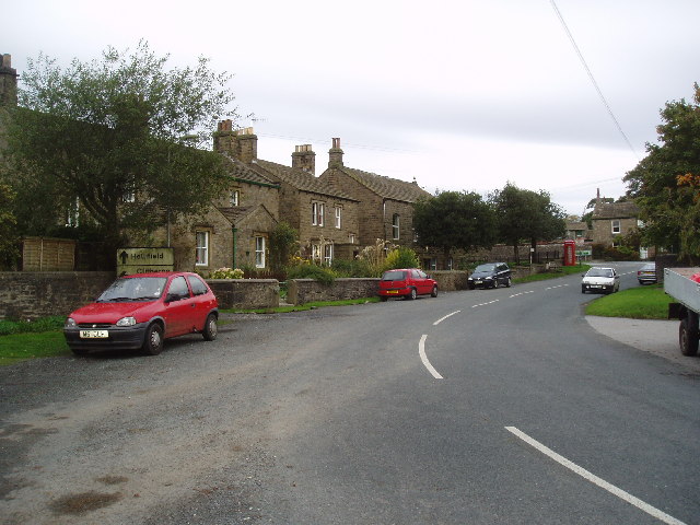
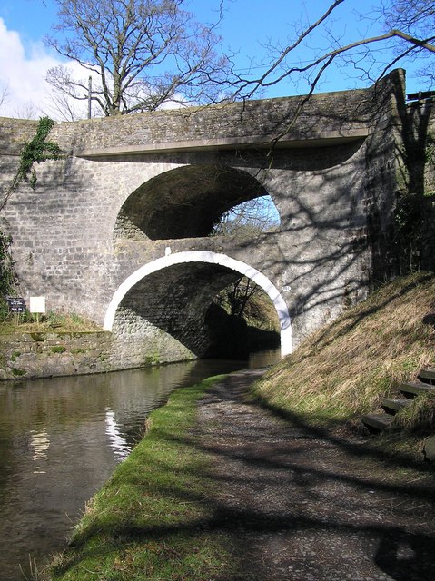
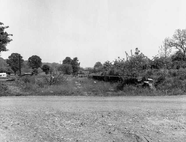
Bale New Plantation Images

Images are sourced within 2km of 53.946103/-2.168682 or Grid Reference SD8950. Thanks to Geograph Open Source API. All images are credited.

Farm buildings by the A59
Bentha Hill Fields
Bentha Hill Fields
A59 near West Marton
Old Boundary Marker on the edge of Tosber Wood Parish Boundary Marker on the edge of Tosber Wood to the rear of a drainage ditch on the west side of an unnamed road 500 metres northeast of its junction with the A59. On the boundary of Martons Both, Horton and Bracewell parishes. All were formerly in The West Riding but since 1974 the stone has been on the border of Lancashire and North Yorkshire. Bracewell combined with Brogden parish Bracewell and Brogden parish in 1987. Grade II Listed details <span class="nowrap"><a title="https://historicengland.org.uk/listing/the-list/list-entry/1317724" rel="nofollow ugc noopener" href="https://historicengland.org.uk/listing/the-list/list-entry/1317724">Link</a><img style="margin-left:2px;" alt="External link" title="External link - shift click to open in new window" src="https://s1.geograph.org.uk/img/external.png" width="10" height="10"/></span>.

Milestone Society National ID: YW_MART01pb
Old Boundary Marker on the edge of Tosber Wood
Parish Boundary Marker on the edge of Tosber Wood to the rear of a drainage ditch on the west side of an unnamed road 500 metres northeast of its junction with the A59. On the boundary of Martons Both, Horton and Bracewell parishes. All were formerly in The West Riding but since 1974 the stone has been on the border of Lancashire and North Yorkshire. Bracewell combined with Brogden parish Bracewell and Brogden parish in 1987. Grade II Listed details LinkExternal link. Milestone Society National ID: YW_MART01pb
Old Guide Stone by Gledstone Road, North of A59 West Marton (East face) The Guide Stone is located near Gledstone Hall on the West side of the road.  Parish of Martons Both (Craven District). Carved stone post, erected in the 18/19C Century, edge chips. An earlier photograph can be found here: <a title="https://www.geograph.org.uk/photo/6094334" href="https://www.geograph.org.uk/photo/6094334">Link</a> 

Inscription reads:-  
{hand to left} / TO (in hand)/ Gisburne / TO {hand to right} /Skipton : :  TO / Gargrave / Ms 3 

Milestone Society National ID: YN_XWMAR
Old Guide Stone by Gledstone Road, North of A59 West Marton (East face)
The Guide Stone is located near Gledstone Hall on the West side of the road.  Parish of Martons Both (Craven District). Carved stone post, erected in the 18/19C Century, edge chips. An earlier photograph can be found here: Link  Inscription reads:- {hand to left} / TO (in hand)/ Gisburne / TO {hand to right} /Skipton : : TO / Gargrave / Ms 3 Milestone Society National ID: YN_XWMAR
Old Guide Stone by Gledstone Road, North of A59 West Marton (West face) The Guide Stone is located near Gledstone Hall on the West side of the road.  Parish of Martons Both (Craven District). Carved stone post, erected in the 18th/19th Century, edge chips. The East face photograph can be found here: <a title="https://www.geograph.org.uk/photo/7383076" href="https://www.geograph.org.uk/photo/7383076">Link</a> 

Inscription reads:-  
{hand to left} / TO (in hand)/ Gisburne / TO {hand to right} /Skipton : :  TO / Gargrave / Ms 3 

Milestone Society National ID: YN_XWMAR
Old Guide Stone by Gledstone Road, North of A59 West Marton (West face)
The Guide Stone is located near Gledstone Hall on the West side of the road.  Parish of Martons Both (Craven District). Carved stone post, erected in the 18th/19th Century, edge chips. The East face photograph can be found here: Link  Inscription reads:- {hand to left} / TO (in hand)/ Gisburne / TO {hand to right} /Skipton : : TO / Gargrave / Ms 3 Milestone Society National ID: YN_XWMAR
Gate on the Towpath There are gates along the towpath every so often. The reason isn't always obvious, they are just there.
Gate on the Towpath
There are gates along the towpath every so often. The reason isn't always obvious, they are just there.
South Field Bridge Taking a minor road over the Leeds & Liverpool Canal.
South Field Bridge
Taking a minor road over the Leeds & Liverpool Canal.
Two Gates in a Wall This structure is shown on the large scale map, but without any detail. I don't know what it was for.
Two Gates in a Wall
This structure is shown on the large scale map, but without any detail. I don't know what it was for.
Monitoring Site on the Canal Bank With a sensor in the water and an instrument cabinet by the wall I'm guessing this is a water level recording station.
Monitoring Site on the Canal Bank
With a sensor in the water and an instrument cabinet by the wall I'm guessing this is a water level recording station.
Old Milestone, on the B6252, junction UC road, Gledstone Road, to West Marton Located on the North side of road, on verge. Carved stone post, erected by Skipton & Clitheroe turnpike trust, 18th century. 

Inscription reads: {hand to left} / Settel / M 8 :: {hand to left} / CLITHEROW / Miles 7 / {hand to right} / Skipton / Ms 5 

Milestone Society National ID: YN_SKBCK05
Old Milestone, on the B6252, junction UC road, Gledstone Road, to West Marton
Located on the North side of road, on verge. Carved stone post, erected by Skipton & Clitheroe turnpike trust, 18th century. Inscription reads: {hand to left} / Settel / M 8 :: {hand to left} / CLITHEROW / Miles 7 / {hand to right} / Skipton / Ms 5 Milestone Society National ID: YN_SKBCK05
Marton Hall Farm, West Marton, Yorkshire A well-established farm not far south of the A 59.  View from the north.
Marton Hall Farm, West Marton, Yorkshire
A well-established farm not far south of the A 59. View from the north.
West Marton Village, Yorkshire A small village on the A 59.  There's a small Post Office, but no church or pub - they are in East Marton, a mile away.
West Marton Village, Yorkshire
A small village on the A 59. There's a small Post Office, but no church or pub - they are in East Marton, a mile away.
Barn or agricultural store off A 59 Surprisingly this rather ramshackle building is comparatively modern as it does not appear on the 1910 edition six-inch map.  It is about 100 yards south of the A 59 half a mile west of the West Marton crossroads.
Barn or agricultural store off A 59
Surprisingly this rather ramshackle building is comparatively modern as it does not appear on the 1910 edition six-inch map. It is about 100 yards south of the A 59 half a mile west of the West Marton crossroads.
A road no longer.... The A 59 (no longer a trunk since completion of the M65) has been subject to many improvements and straightenings over the years. In several places this has left 'dead' loops of the old road, as here between West Marton and Gisburn in Yorkshire.  Some of the road markings can still be discerned.  View looking east, near to where 'Dick Turpin's' (a mobile roadside cafe) is normally parked, but on this day he was not there.
A road no longer....
The A 59 (no longer a trunk since completion of the M65) has been subject to many improvements and straightenings over the years. In several places this has left 'dead' loops of the old road, as here between West Marton and Gisburn in Yorkshire. Some of the road markings can still be discerned. View looking east, near to where 'Dick Turpin's' (a mobile roadside cafe) is normally parked, but on this day he was not there.
Old Guide stone This old stone carved guide stone is located in the bottom of a hedgerow at a junction of minor roads near Gledstone Hall. Note the old spelling of Gisburn as "Gisburne".
Old Guide stone
This old stone carved guide stone is located in the bottom of a hedgerow at a junction of minor roads near Gledstone Hall. Note the old spelling of Gisburn as "Gisburne".
Woods on Swire Hill These woods appear clothing Swire Hill, as the A59 Skipton to Clitheroe sweeps sharply around a left hand bend.
Woods on Swire Hill
These woods appear clothing Swire Hill, as the A59 Skipton to Clitheroe sweeps sharply around a left hand bend.
Gardens, Gledstone Hall Part of the estate that comprises Gledstone Hall, north of West Marton
Gardens, Gledstone Hall
Part of the estate that comprises Gledstone Hall, north of West Marton
Show me another place!

Bale New Plantation is located at Grid Ref: SD8950 (Lat: 53.946103, Lng: -2.168682)

Division: West Riding

Administrative County: North Yorkshire
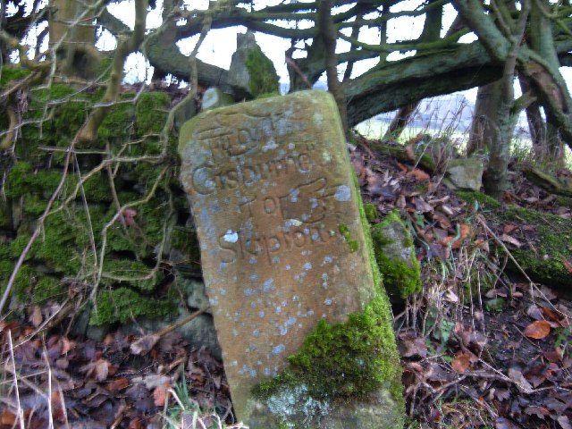
District: Craven

Police Authority: North Yorkshire

What 3 Words

///clown.dices.scaffold. Near Barnoldswick, Lancashire

Related Wikis

West Marton

West Marton is a village in the Craven district of North Yorkshire, England. It is on the A59 road about 6.5 miles (10.5 km) west of the market town of...

Martons Both

Martons Both is a civil parish in the Craven district of North Yorkshire, England. The civil parish is formed by the villages of East Marton and West Marton...
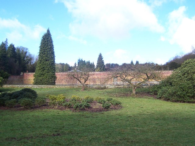
Gledstone Hall

Gledstone Hall is a 20th-century country house in West Marton, near Skipton, North Yorkshire, England. Designed by Edwin Lutyens it stands in a 12-hectare...

Church of St Mary le Ghyll, Barnoldswick

The Church of St Mary le Ghyll (also known as St Mary-le-Gill) is in Ghyll Lane, Barnoldswick, Lancashire, England. It is an active Anglican parish church...

East Marton

East Marton is a village in the Craven District of North Yorkshire, England. It is situated approximately 5 miles (8 km) west of the market town of Skipton...

Thornton in Craven

Thornton-in-Craven is a village and civil parish in the Craven district of North Yorkshire, England. It is approx 1,740 feet (530 m) from the border with...

Thornton-in-Craven railway station

Thornton-in-Craven railway station was a railway station that served the small village of Thornton-in-Craven in North Yorkshire (formerly the West Riding...

West Craven

West Craven is an area in the east of Lancashire, England in the far northern part of the borough of Pendle. Historically the area was within the ancient...

Have you been to Bale New Plantation?

Leave your review of Bale New Plantation below (or comments, questions and feedback).