Nancy's Wood
Wood, Forest in Cheshire
England
Nancy's Wood

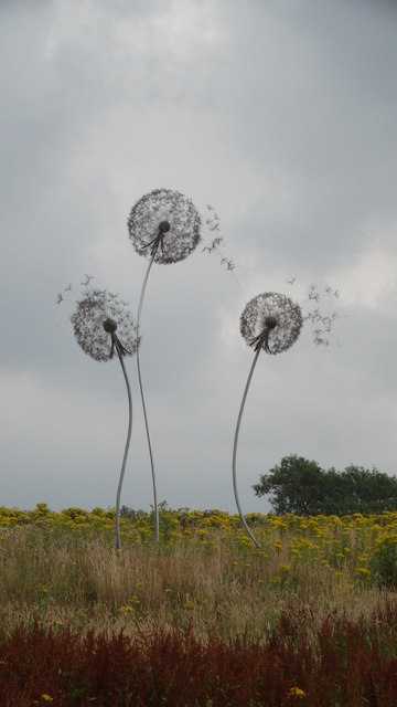
Nancy's Wood is a picturesque forest located in the county of Cheshire, England. Situated near the town of Nantwich, this woodland area covers an expansive area of approximately 100 acres. With its diverse range of trees and abundant wildlife, Nancy's Wood has become a popular destination for nature enthusiasts and outdoor enthusiasts alike.
The forest is predominantly composed of deciduous trees, such as oak, birch, and beech, which create a stunning display of colors during the autumn months. The woodland floor is adorned with a rich carpet of wildflowers, including bluebells, primroses, and wood anemones, further enhancing the natural beauty of the area.
Nancy's Wood offers a variety of walking trails and footpaths, allowing visitors to explore the forest at their own pace. These trails cater to all levels of fitness and provide an opportunity to immerse oneself in the tranquility of the surroundings. Along the way, visitors may encounter a range of wildlife, including squirrels, rabbits, and various species of birds.
The forest is also home to a small lake, known as Nancy's Pond, which adds to the overall charm of the area. The pond attracts a variety of water birds, and on a calm day, its surface mirrors the surrounding trees, creating a stunning reflection.
Nancy's Wood is managed by the local council, which ensures the preservation of its natural beauty and provides necessary amenities for visitors, including parking facilities and picnic areas. Whether it's a leisurely stroll, birdwatching, or simply enjoying the peacefulness of nature, Nancy's Wood offers a delightful escape from the hustle and bustle of everyday life.
If you have any feedback on the listing, please let us know in the comments section below.
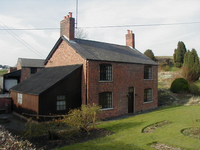
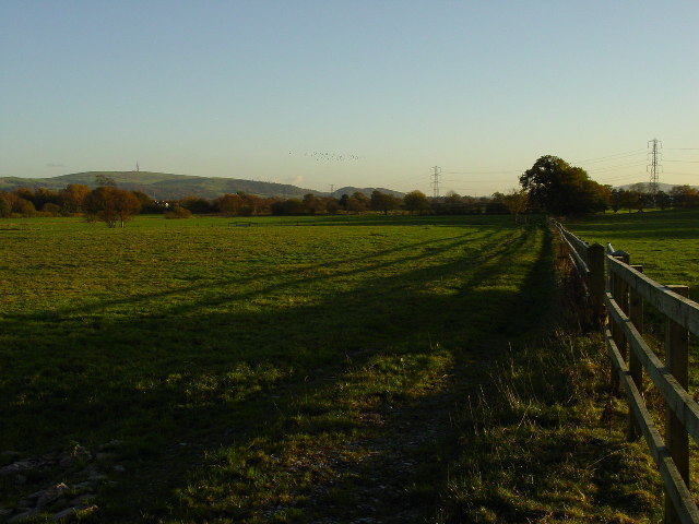
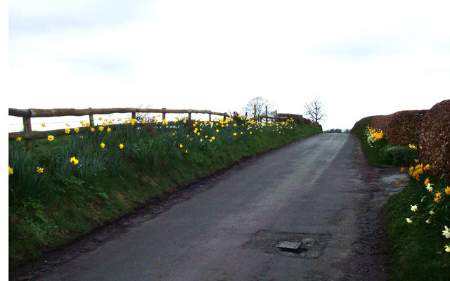
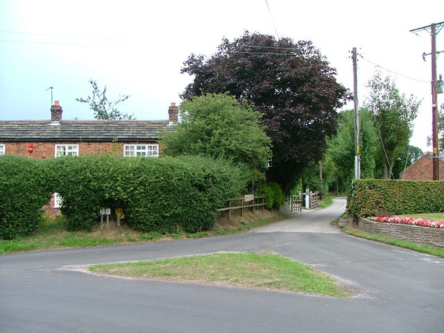
Nancy's Wood Images
Images are sourced within 2km of 53.22795/-2.1676844 or Grid Reference SJ8870. Thanks to Geograph Open Source API. All images are credited.


Nancy's Wood is located at Grid Ref: SJ8870 (Lat: 53.22795, Lng: -2.1676844)
Unitary Authority: Cheshire East
Police Authority: Cheshire
What 3 Words
///congested.foresight.scream. Near Siddington, Cheshire
Nearby Locations
Related Wikis

Warren, Cheshire
Warren is the traditional name for the largest settlement in the civil parish of Gawsworth in Cheshire, England. It is situated just to the north west...

Gawsworth Old Rectory
Gawsworth Old Rectory is a medieval house in the village of Gawsworth, Cheshire, England. It is known for the rare survival of its "open hall" and the...
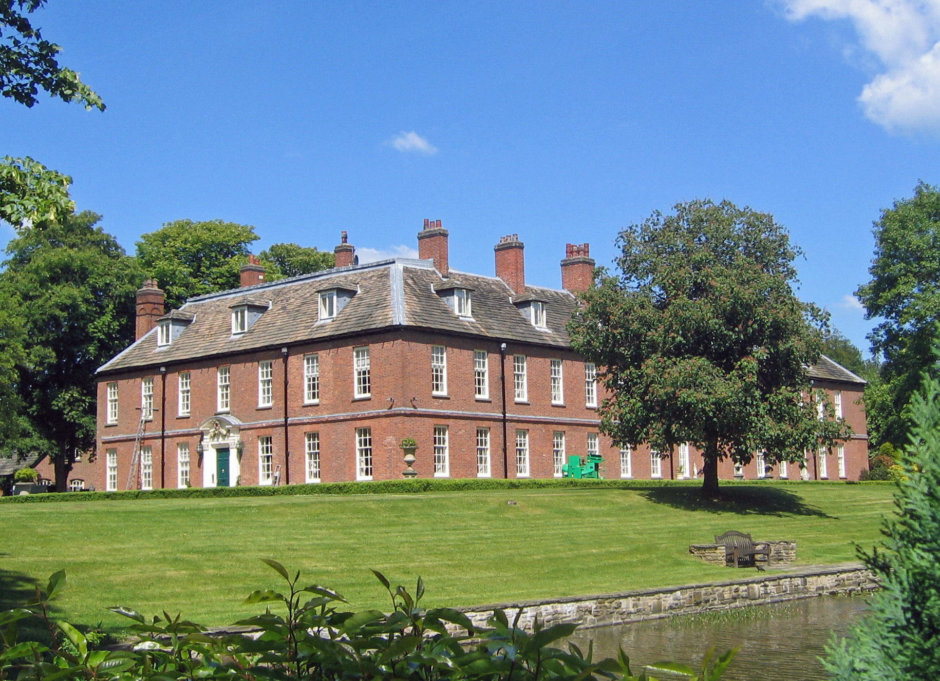
Gawsworth New Hall
Gawsworth New Hall is a country house in the village of Gawsworth, Cheshire, England. It is recorded in the National Heritage List for England as a designated...

St James' Church, Gawsworth
St James' Church is in the village of Gawsworth, Cheshire, England, and is sited near Gawsworth Hall. It is recorded in the National Heritage List for...
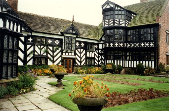
Gawsworth Old Hall
Gawsworth Old Hall is a Grade I listed country house in the village of Gawsworth, Cheshire, England. It is a timber-framed house in the Cheshire black...

Harrington Arms, Gawsworth
The Harrington Arms is in Church Lane, Gawsworth, Cheshire, England, and is recorded in the National Heritage List for England as a designated Grade II...
Gawsworth
Gawsworth is a civil parish and village in the unitary authority of Cheshire East and the ceremonial county of Cheshire, England. The population of the...
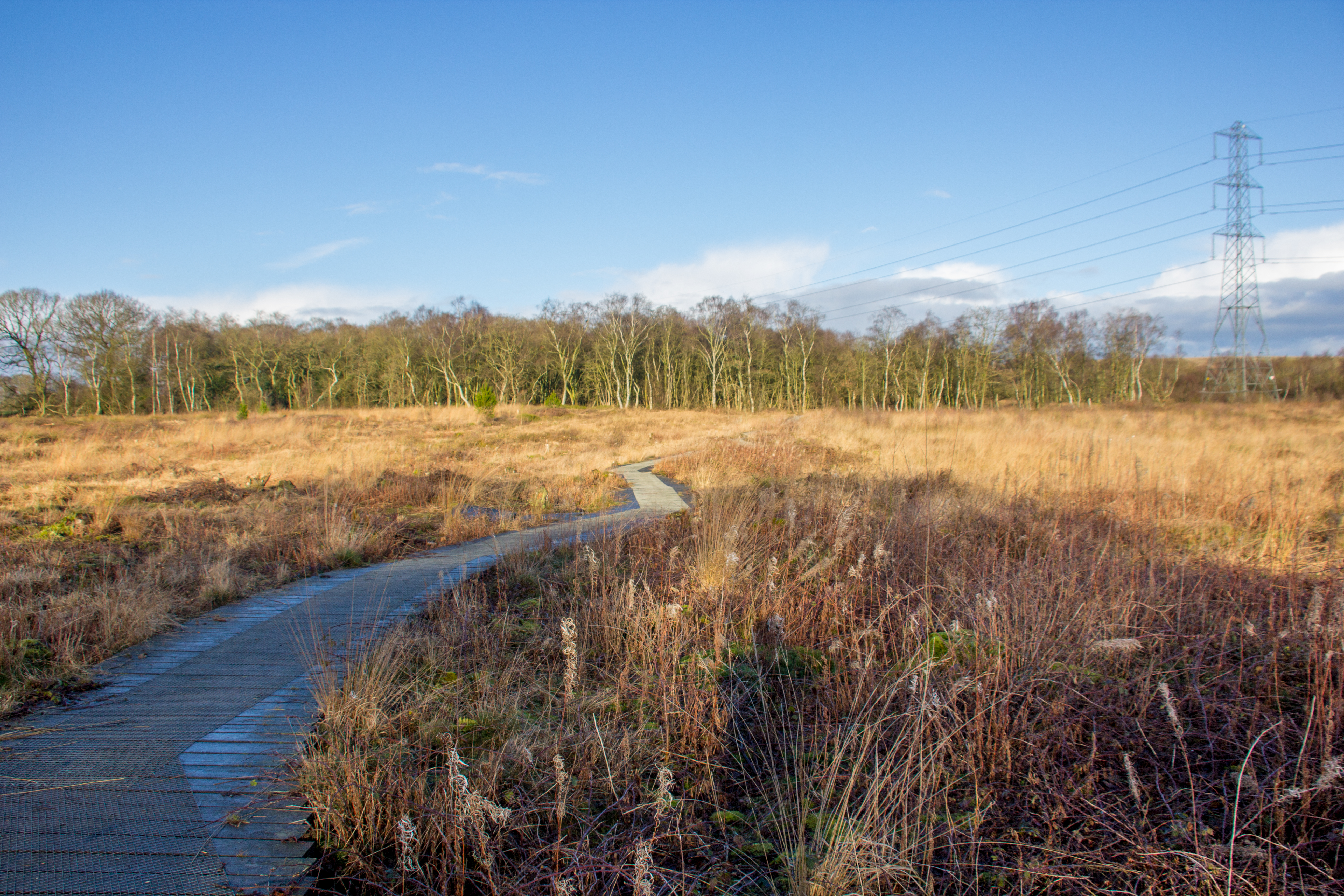
Danes Moss Nature Reserve
Danes Moss Nature Reserve is a 13.4-hectare (33-acre) nature reserve south of Macclesfield, Cheshire, England. A Site of Special Scientific Interest, it...
Nearby Amenities
Located within 500m of 53.22795,-2.1676844Have you been to Nancy's Wood?
Leave your review of Nancy's Wood below (or comments, questions and feedback).