Ley Coppice

Wood, Forest in Worcestershire Wychavon

England

Ley Coppice

Clouds & Floods Looking South along the M5 from Strensham under a stormy sky. The river Avon is in flood and to the left is the edge of the Cotswolds.
Clouds & Floods Credit: David Stowell

Ley Coppice is a picturesque woodland located in Worcestershire, England. Spanning over 100 acres, this ancient forest is renowned for its natural beauty and rich biodiversity. It is situated in the heart of the county, just a short distance from the town of Kidderminster.

Ley Coppice features a variety of tree species, including oak, ash, beech, and birch, which create a lush and vibrant canopy. The forest floor is carpeted with an array of wildflowers, ferns, and mosses, adding to its enchanting atmosphere. The woodland is crisscrossed by a network of well-maintained footpaths, providing visitors with the opportunity to explore its many hidden gems.

The forest is home to a diverse range of wildlife, making it a haven for nature enthusiasts. Birdwatchers can spot a multitude of species, such as woodpeckers, owls, and warblers, while the more observant visitor may catch a glimpse of deer, foxes, and badgers roaming among the trees. The forest also boasts a rich insect life, with butterflies and dragonflies fluttering through the air in the warmer months.

Due to its natural beauty and ecological importance, Ley Coppice has been designated as a Site of Special Scientific Interest (SSSI). This status ensures that the forest is protected and conserved for future generations to enjoy.

Visitors to Ley Coppice can enjoy a peaceful and tranquil retreat, immersing themselves in the wonders of nature. Whether it be for a leisurely stroll, birdwatching, or simply a moment of solitude, Ley Coppice offers a sanctuary away from the hustle and bustle of everyday life.

If you have any feedback on the listing, please let us know in the comments section below.
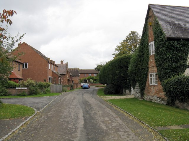
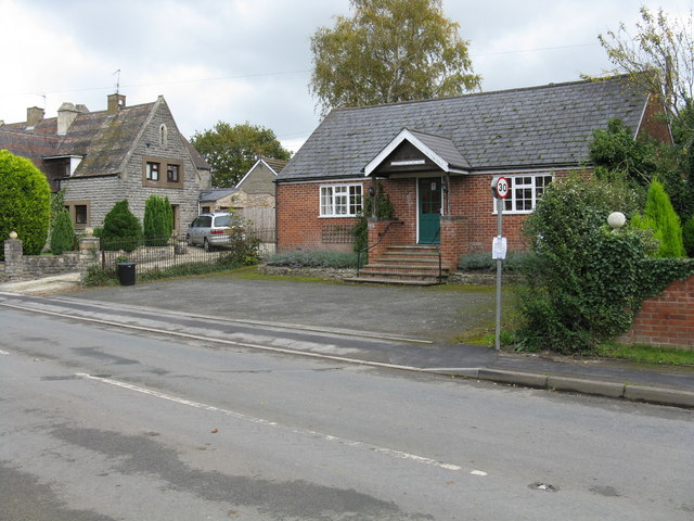
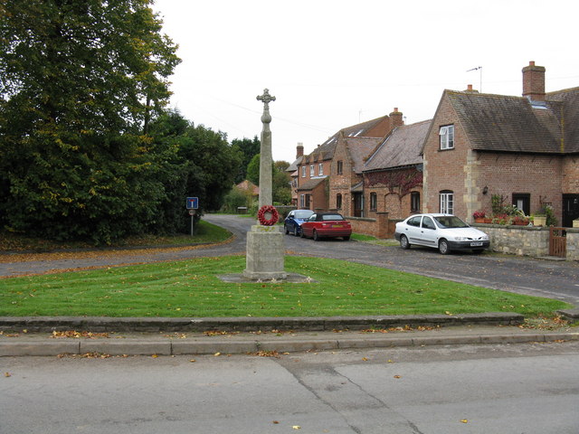
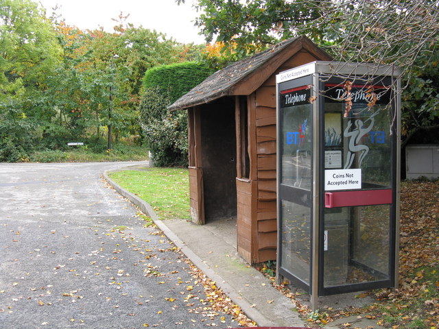
Ley Coppice Images

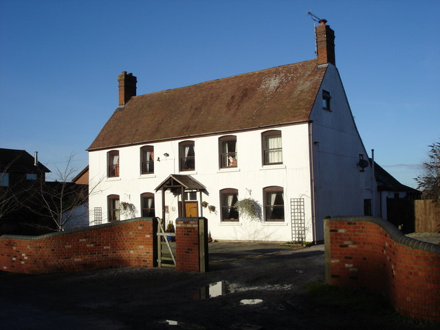
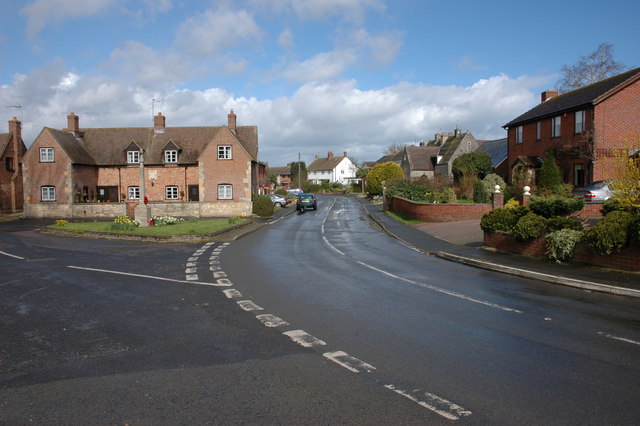
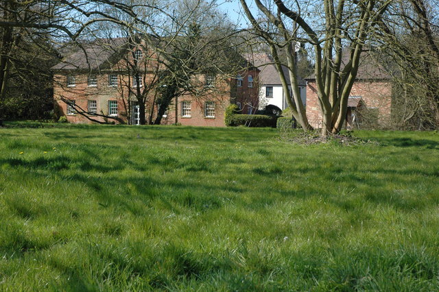
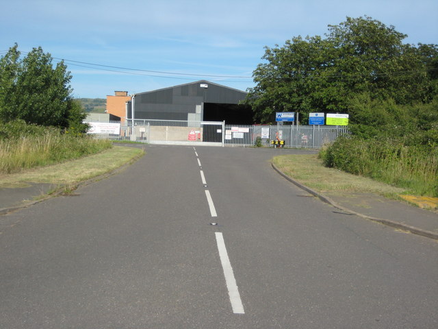
Images are sourced within 2km of 52.052908/-2.1639871 or Grid Reference SO8839. Thanks to Geograph Open Source API. All images are credited.

Clouds & Floods Looking South along the M5 from Strensham under a stormy sky. The river Avon is in flood and to the left is the edge of the Cotswolds.
Clouds & Floods
Looking South along the M5 from Strensham under a stormy sky. The river Avon is in flood and to the left is the edge of the Cotswolds.
M50 / M5 interchange The eastern end of the M50 where it meets the M5 at Junction 8 on a huge roundabout with flyover.
M50 / M5 interchange
The eastern end of the M50 where it meets the M5 at Junction 8 on a huge roundabout with flyover.
Near the end of the M50 Looking towards South Wales. Approaching traffic has to choose between the M5 North for Birmingham or M5 South for Bristol.
Near the end of the M50
Looking towards South Wales. Approaching traffic has to choose between the M5 North for Birmingham or M5 South for Bristol.
Strensham War Memorial and Almshouses. The almshouses bear a crest and date of 1697.
Strensham War Memorial and Almshouses.
The almshouses bear a crest and date of 1697.
Strensham South Motorway Services Strensham South Motorway Services, on the M5.
Strensham South Motorway Services
Strensham South Motorway Services, on the M5.
The M5 junction 8 View to the south from the bridge carrying Mill Lane. Bredon Field Farm can be seen above the white lorry, one mile south of this junction the M5 crosses the River Avon which at the time of this picture was in flood. The Cotswolds can be seen on the horizon.
The M5 junction 8
View to the south from the bridge carrying Mill Lane. Bredon Field Farm can be seen above the white lorry, one mile south of this junction the M5 crosses the River Avon which at the time of this picture was in flood. The Cotswolds can be seen on the horizon.
Former public house, Strensham This used to be the Cavalier and previously the Pelican Inn, though it is many years since this was a pub.
Former public house, Strensham
This used to be the Cavalier and previously the Pelican Inn, though it is many years since this was a pub.
Strensham Strensham village centre, on the left is the war memorial and almshouses.
Strensham
Strensham village centre, on the left is the war memorial and almshouses.
Strensham south M5 motorway services. Newly rebuilt.
Strensham south M5 motorway services.
Newly rebuilt.
Arable land, Showborough Arable farmland to the west of Showborough House. The trees on the horizon are on Oaks Bank.
Arable land, Showborough
Arable farmland to the west of Showborough House. The trees on the horizon are on Oaks Bank.
Strensham Court Mews These former mews belonged to Strensham Court (demolished in the 1970s) and were converted to residential accommodation in the 1980s.
Strensham Court Mews
These former mews belonged to Strensham Court (demolished in the 1970s) and were converted to residential accommodation in the 1980s.
Showborough Villa This cottage is on the boundary of Worcestershire and Gloucestershire, the border follows the fence on the right side of the road. Gloucestershire is on the other side of the fence.
Showborough Villa
This cottage is on the boundary of Worcestershire and Gloucestershire, the border follows the fence on the right side of the road. Gloucestershire is on the other side of the fence.
Highways depot at Strensham Highsway depot located near Strensham's southbound services.
Highways depot at Strensham
Highsway depot located near Strensham's southbound services.
Back lane in Upper Strensham
Strensham Village Hall Although situated in Upper Strensham, the village hall is labelled without any distinction.
Strensham Village Hall
Although situated in Upper Strensham, the village hall is labelled without any distinction.
Strensham war memorial and village green
Upper Strensham telephone box and bus shelter The telephone box still worked when photographed, but you'll have a fair old wait for a bus.
Upper Strensham telephone box and bus shelter
The telephone box still worked when photographed, but you'll have a fair old wait for a bus.
Show me another place!

Ley Coppice is located at Grid Ref: SO8839 (Lat: 52.052908, Lng: -2.1639871)

Administrative County: Worcestershire

District: Wychavon

Police Authority: West Mercia

What 3 Words

///trickles.item.dining. Near Eckington, Worcestershire

Nearby Locations

Ley Coppice

Related Wikis

Naunton, Worcestershire

Naunton is a village in the parish of Ripple, near Upton-upon-Severn in Worcestershire, England. Records for Naunton date back to the 12th Century, where...

Hill Croome

Hill Croome is a village, and a civil parish which covers 1000 acres, in the Malvern Hills District in the county of Worcestershire, England. Historically...

Strensham

Strensham is a village in the Wychavon district of Worcestershire. In the 2001 census, the civil parish of Strensham had a population of 314 across 127...

Strensham services

Strensham services is a motorway service station on the M5 in Worcestershire, England. It is operated by Roadchef. In August 2011, it was rated as 4 stars...

Nearby Amenities

Located within 500m of 52.052908,-2.1639871
Power: pole
Lat/Long: 52.0493516/-2.1674448
Power: pole
Lat/Long: 52.0499042/-2.1663317
Ley Farm
Power: pole
Transformer: distribution
Voltage Primary: 11000
Lat/Long: 52.0514497/-2.1631479
Power: pole
Lat/Long: 52.0504716/-2.1651274
Power: pole
Lat/Long: 52.0509474/-2.164194
The data included in this document is from www.openstreetmap.org. The data is made available under ODbL.

Have you been to Ley Coppice?

Leave your review of Ley Coppice below (or comments, questions and feedback).