Westrop Plantation
Wood, Forest in Wiltshire
England
Westrop Plantation
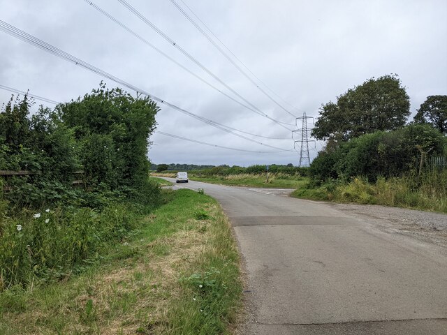
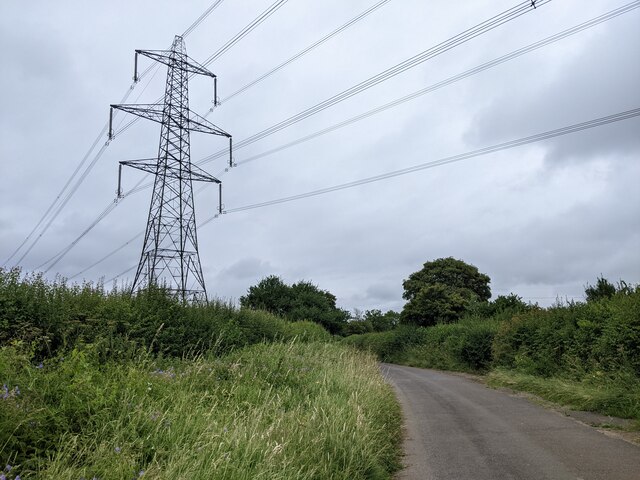
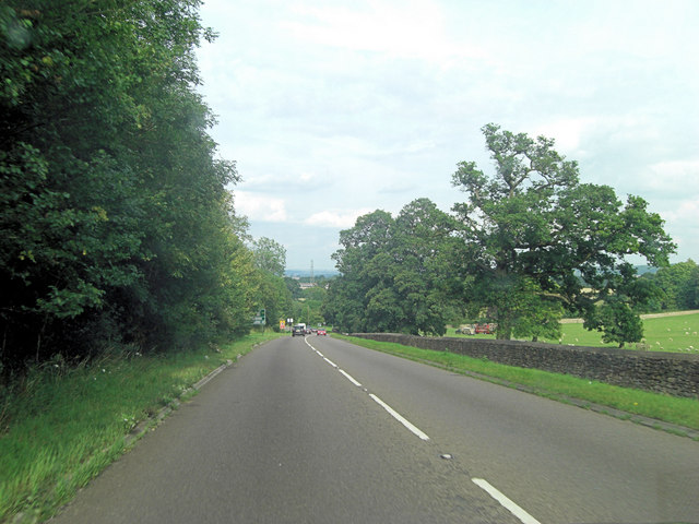
Westrop Plantation is a picturesque woodland area located in the county of Wiltshire, England. Spanning over an approximate area of 200 acres, this plantation is a thriving example of natural beauty and biodiversity. It is situated near the small village of Westrop, which adds to its charm and accessibility.
The plantation primarily consists of a dense forest with a variety of tree species, predominantly oak, beech, and birch. These towering trees create a dense canopy, providing shade and shelter for a diverse range of flora and fauna. The forest floor is adorned with a vibrant carpet of bluebells during the springtime, creating a visually stunning spectacle.
The plantation is home to various wildlife species, including deer, badgers, foxes, and a variety of birds such as woodpeckers, owls, and songbirds. It serves as an important habitat for these animals, providing ample food and shelter.
Westrop Plantation offers a tranquil retreat for nature enthusiasts and hikers alike. There are several well-maintained walking trails that meander through the woodland, allowing visitors to immerse themselves in its natural beauty. These trails offer breathtaking views of the surrounding countryside and provide an opportunity to witness the changing seasons and the vibrant colors they bring.
Managed by local authorities, Westrop Plantation is a cherished natural resource that is enjoyed by both locals and tourists. Its conservation efforts ensure the preservation of this woodland ecosystem, making it a valuable asset to the region's biodiversity and a delight for all who visit.
If you have any feedback on the listing, please let us know in the comments section below.
Westrop Plantation Images
Images are sourced within 2km of 51.433774/-2.1693527 or Grid Reference ST8870. Thanks to Geograph Open Source API. All images are credited.


Westrop Plantation is located at Grid Ref: ST8870 (Lat: 51.433774, Lng: -2.1693527)
Unitary Authority: Wiltshire
Police Authority: Wiltshire
What 3 Words
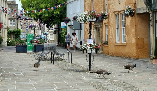
///decimals.dissolve.slicing. Near Corsham, Wiltshire
Nearby Locations
Related Wikis

Corsham Town F.C.
Corsham Town Football Club is a football club based in Corsham, Wiltshire, England. The first team plays in the Hellenic League Premier Division. ��2...

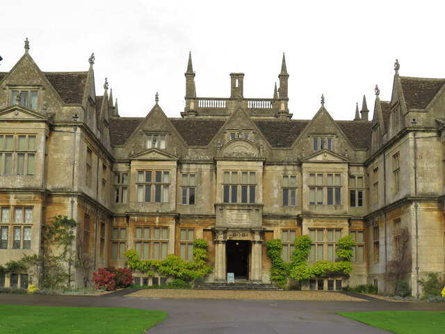
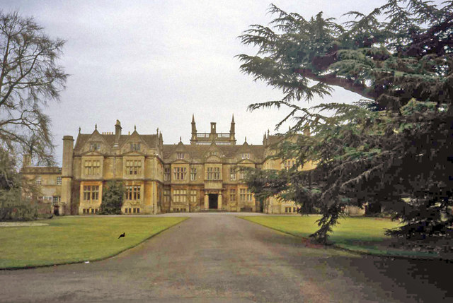
Corsham Court
Corsham Court is an English country house in a park designed by Capability Brown. It is in the town of Corsham, 3 miles (5 km) west of Chippenham, Wiltshire...

Hungerford Almshouses
The Hungerford Almshouses in Corsham, Wiltshire, England, were built in 1668 for Lady Margaret Hungerford of Corsham Court. It has been designated as a...

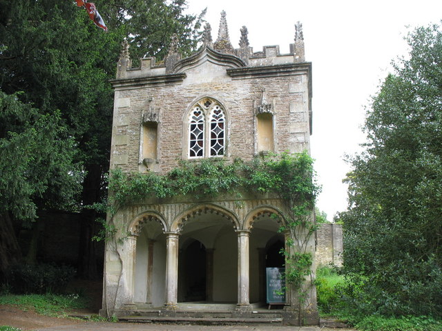
Bath House at Corsham Court
The Bath House at Corsham Court, Corsham, Wiltshire, England, is a garden structure dating from the mid-18th century. The combined work of two major English...

Corsham Town Hall
Corsham Town Hall is a municipal structure in the High Street, Corsham, Wiltshire, England. The structure, which serves as the meeting place of Corsham...

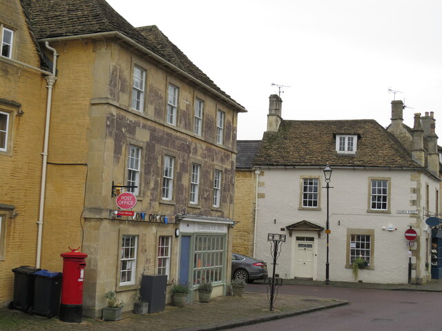
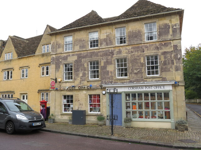
Corsham
Corsham is a historic market town and civil parish in west Wiltshire, England. It is at the south-western edge of the Cotswolds, just off the A4 national...
Alexander House, Corsham
Alexander House is a Grade II* listed house at High Street, Corsham, Wiltshire, England. It dates from the early eighteenth century and is ashlar fronted...
The Corsham School
The Corsham School is a large secondary school, with a sixth form, in Corsham, Wiltshire, England. The school has academy status, and as of January 2022...
Nearby Amenities
Located within 500m of 51.433774,-2.1693527Have you been to Westrop Plantation?
Leave your review of Westrop Plantation below (or comments, questions and feedback).