Dereks Orchard
Wood, Forest in Lancashire Pendle
England
Dereks Orchard

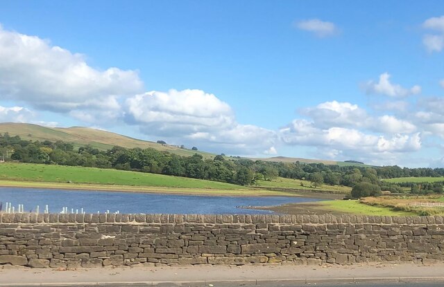
Derek's Orchard is a picturesque woodland located in the heart of Lancashire, England. Covering an area of approximately 50 acres, it is a captivating destination for nature enthusiasts and those seeking tranquility amidst the hustle and bustle of modern life.
The orchard consists primarily of a dense forest, with towering trees providing a lush green canopy. The diverse range of tree species found here includes oak, beech, birch, and ash, creating a rich and vibrant ecosystem. The forest floor is carpeted with a variety of wildflowers, adding bursts of color to the serene landscape.
Visitors to Derek's Orchard can explore a network of well-maintained trails that wind their way through the woodland. These paths offer an opportunity to immerse oneself in the natural surroundings and discover the hidden treasures that lie within. Wildlife enthusiasts will be delighted to spot a plethora of creatures that call this woodland home, including squirrels, rabbits, and an array of bird species.
The orchard also boasts a small pond, which serves as a watering hole for local wildlife and adds to the overall charm of the area. The tranquil atmosphere and the gentle sound of birdsong make it an ideal spot for relaxation and reflection.
Derek's Orchard is open to the public year-round and offers a range of amenities such as picnic areas and benches for visitors to enjoy. Whether one is seeking a peaceful walk, a family outing, or a chance to connect with nature, this enchanting woodland is a must-visit destination in Lancashire.
If you have any feedback on the listing, please let us know in the comments section below.
Dereks Orchard Images
Images are sourced within 2km of 53.867237/-2.1799973 or Grid Reference SD8841. Thanks to Geograph Open Source API. All images are credited.


Dereks Orchard is located at Grid Ref: SD8841 (Lat: 53.867237, Lng: -2.1799973)
Administrative County: Lancashire
District: Pendle
Police Authority: Lancashire
What 3 Words
///debit.steady.welcome. Near Foulridge, Lancashire
Nearby Locations
Related Wikis

Colne F.C.
Colne Football Club is a football club based in Colne, Lancashire, England. Affiliated with the Lancashire County Football Association, they are currently...
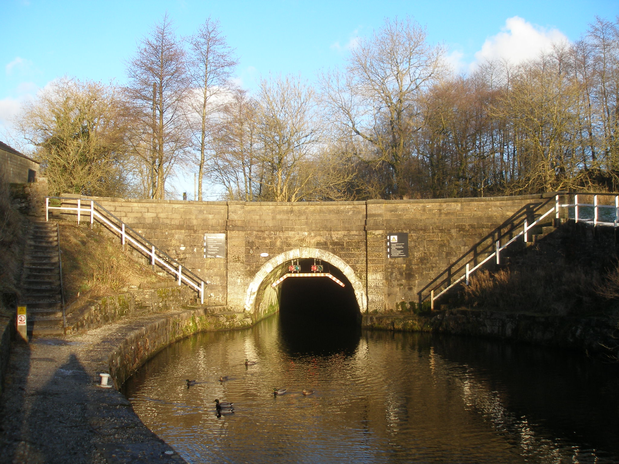
Foulridge Tunnel
The Foulridge Tunnel () is a canal tunnel on the Leeds and Liverpool Canal in Foulridge, Lancashire. Also known as the Mile Tunnel, Foulridge is 1,630...
Borough of Pendle
Pendle is a local government district with borough status in Lancashire, England. The council is based in Nelson, the borough's largest town. The borough...

Pendle Hippodrome Theatre
The Pendle Hippodrome Theatre is an volunteer-run theatre in Colne, Lancashire in the north of England. It is owned by the Pendle Hippodrome Theatre Company...
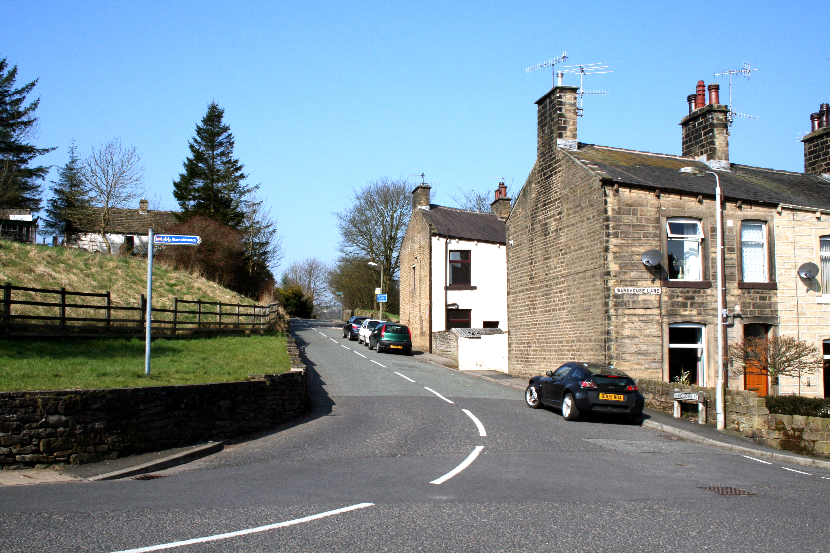
Foulridge
Foulridge (pronounced FOHL-rij) is a village and civil parish in Pendle, Lancashire, close to the border with North Yorkshire in England. It is situated...

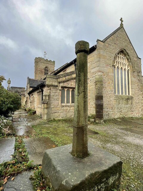
St Bartholomew's Church, Colne
St Bartholomew's Church is in the town of Colne in Lancashire, England. It is an active Anglican parish church in the Diocese of Blackburn. There has been...
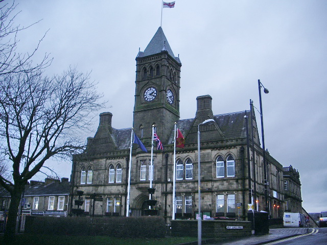
Colne Town Hall
Colne Town Hall is a municipal building in Albert Road, Colne, Lancashire, England. The town hall, which is the meeting place of Colne Town Council, is...
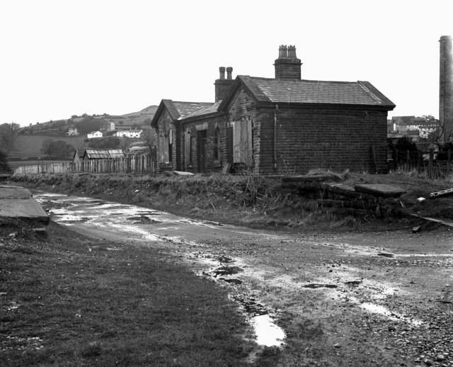
Foulridge railway station
Foulridge railway station served the village of Foulridge in Lancashire, England. It was built by the Leeds and Bradford Extension Railway, (later absorbed...
Nearby Amenities
Located within 500m of 53.867237,-2.1799973Have you been to Dereks Orchard?
Leave your review of Dereks Orchard below (or comments, questions and feedback).