France Firs

Wood, Forest in Dorset

England

France Firs

Stubble Chalk scenery, Everley
Stubble Credit: Richard Webb

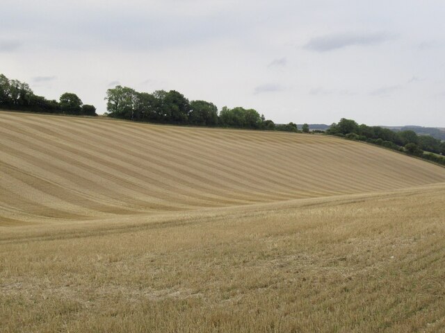
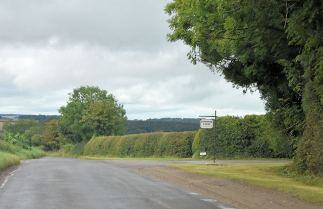
France Firs, located in Dorset, England, is a picturesque woodland area renowned for its natural beauty and tranquil ambiance. Nestled in the heart of the county, this forested area covers a significant expanse, providing a peaceful retreat for nature lovers and outdoor enthusiasts alike.

The name "France Firs" is derived from the abundance of fir trees that dominate the landscape, casting a majestic and evergreen canopy over the forest floor. These trees, with their characteristic conical shape and fragrant needles, create a serene atmosphere and offer shelter to a diverse range of wildlife.

The forest boasts a variety of walking trails, allowing visitors to explore its enchanting surroundings at their own pace. These pathways meander through the ancient woodlands, revealing breathtaking vistas and hidden gems along the way. From towering oaks to delicate wildflowers, the flora in France Firs is abundant and diverse, making it a haven for botanists and nature enthusiasts.

The forest is also home to a rich array of wildlife, including deer, foxes, and a multitude of bird species. Birdwatchers flock to France Firs to catch a glimpse of rare and migratory birds that make their home in the forest throughout the year. The peaceful atmosphere and unspoiled surroundings create the perfect conditions for observing and appreciating these creatures in their natural habitat.

Overall, France Firs, Dorset is a captivating woodland destination that offers a unique and immersive experience for those seeking solace in nature. Its ancient trees, scenic trails, and diverse wildlife make it a must-visit location for anyone looking to connect with the natural world.

If you have any feedback on the listing, please let us know in the comments section below.

France Firs Images

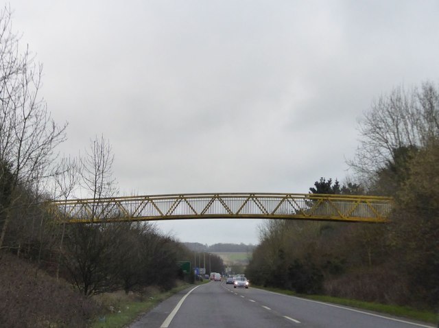
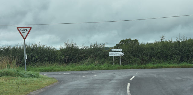
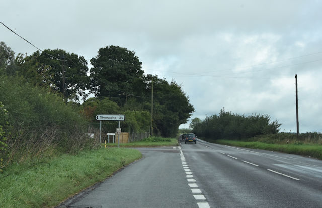
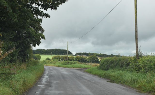
Images are sourced within 2km of 50.884263/-2.1694108 or Grid Reference ST8809. Thanks to Geograph Open Source API. All images are credited.

Stubble Chalk scenery, Everley
Stubble
Chalk scenery, Everley
Old Bridge Marker beside the A357 on Durweston Bridge Bridge Marker set in the south parapet of Durweston Bridge below DO_TRADURbr. On the boundary of Durweston and Stourpaine parishes. Grade II* Listed details <span class="nowrap"><a title="https://historicengland.org.uk/listing/the-list/list-entry/1110240" rel="nofollow ugc noopener" href="https://historicengland.org.uk/listing/the-list/list-entry/1110240">Link</a><img style="margin-left:2px;" alt="External link" title="External link - shift click to open in new window" src="https://s1.geograph.org.uk/img/external.png" width="10" height="10"/></span>.

Milestone Society National ID: DO_DURSTO01br
Old Bridge Marker beside the A357 on Durweston Bridge
Bridge Marker set in the south parapet of Durweston Bridge below DO_TRADURbr. On the boundary of Durweston and Stourpaine parishes. Grade II* Listed details LinkExternal link. Milestone Society National ID: DO_DURSTO01br
Turning for Sturminster Newton
River Stour from Durweston Bridge
Footbridge over A350, Blandford Forum by-pass
Manor Farm from minor road
Road junction with Shaftesbury Lane
Stourpaine exit from Shaftesbury Lane
Start of track to Stourpaine bushes
Entrance to Downend Farm from Bushes Road
Old Milestone by the B3082, north of Blandford Forum Carved stone post by the B3082, in parish of PIMPERNE (NORTH DORSET District), Blandford Forum, North West edge of town beside River stour, on West side of road. Dorset 1 (limestone), erected by the Shaftesbury & New Road to Blandford turnpike trust in the 19th century. 
(Seems to have been re-located from east side of road)

Inscription reads:-
Blandford
1
Shaston
11   

Milestone Society National ID: DO_BFSF01.
Old Milestone by the B3082, north of Blandford Forum
Carved stone post by the B3082, in parish of PIMPERNE (NORTH DORSET District), Blandford Forum, North West edge of town beside River stour, on West side of road. Dorset 1 (limestone), erected by the Shaftesbury & New Road to Blandford turnpike trust in the 19th century. (Seems to have been re-located from east side of road) Inscription reads:- Blandford 1 Shaston 11 Milestone Society National ID: DO_BFSF01.
Old Bridge Marker by the A357, Durweston Bridge Bridge Marker by the A357, in parish of Durweston (North Dorset District), South parapet of Durweston Bridge.

Inscription reads:-
DORSET
ANY PERSON WILFULLY INJURING
ANY PART OF THIS COUNTY BRIDGE
WILL BE GUILTY OF FELONY AND
UPON CONVICTION LIABLE TO BE
TRANSPORTED FOR LIFE
BY THE COURT
7&8 GEO 4 C30 S13 T FOOKS

Durweston Bridge is Grade II* listed.
List Entry Number: 1110240 <span class="nowrap"><a title="https://historicengland.org.uk/listing/the-list/list-entry/1110240" rel="nofollow ugc noopener" href="https://historicengland.org.uk/listing/the-list/list-entry/1110240">Link</a><img style="margin-left:2px;" alt="External link" title="External link - shift click to open in new window" src="https://s1.geograph.org.uk/img/external.png" width="10" height="10"/></span>

Surveyed

Milestone Society National ID: DO_TRADURbr
Old Bridge Marker by the A357, Durweston Bridge
Bridge Marker by the A357, in parish of Durweston (North Dorset District), South parapet of Durweston Bridge. Inscription reads:- DORSET ANY PERSON WILFULLY INJURING ANY PART OF THIS COUNTY BRIDGE WILL BE GUILTY OF FELONY AND UPON CONVICTION LIABLE TO BE TRANSPORTED FOR LIFE BY THE COURT 7&8 GEO 4 C30 S13 T FOOKS Durweston Bridge is Grade II* listed. List Entry Number: 1110240 LinkExternal link Surveyed Milestone Society National ID: DO_TRADURbr
Roundabout on Shaftesbury Road, Blandford Forum
Shaftesbury Road, Blandford Forum Looking towards Camp Down Farm
Shaftesbury Road, Blandford Forum
Looking towards Camp Down Farm
Shaftesbury Road beyond Blandford Forum
Shaston Road, Stourpaine
Show me another place!

France Firs is located at Grid Ref: ST8809 (Lat: 50.884263, Lng: -2.1694108)

Unitary Authority: Dorset

Police Authority: Dorset

What 3 Words

///expressed.contrived.every. Near Pimperne, Dorset

Nearby Locations

Camp Down France Firs

Related Wikis

Ash (near Stourpaine)

Ash is a hamlet approximately 0.5 miles (1 km) north of the village of Stourpaine, Dorset, England.Ash was listed in the Domesday Book of 1086. == References... ==

Stourpaine

Stourpaine () is a village and civil parish in the ceremonial county of Dorset in southern England. It is situated in the valley of the River Stour in...

Stourpaine and Durweston railway station

Stourpaine & Durweston Halt was a railway station in the English county of Dorset. It was located between Shillingstone and Blandford Forum on the Somerset...

The Coade Hall

The Coade Hall is a brick-built theatre and concert hall at Bryanston School, near Blandford Forum in Dorset, England. == History == It was opened on...

Have you been to France Firs?

Leave your review of France Firs below (or comments, questions and feedback).