Blackthorn Covert
Wood, Forest in Worcestershire Wychavon
England
Blackthorn Covert

Blackthorn Covert is a picturesque woodland located in Worcestershire, England. Situated in the heart of the county, this serene forest is known for its natural beauty and diverse range of flora and fauna. Spanning over a vast area, Blackthorn Covert is a popular destination for nature enthusiasts and outdoor enthusiasts alike.
The woodland is primarily composed of oak and beech trees, which provide a dense canopy, creating a cool and shaded environment throughout the year. The forest floor is covered with a carpet of wildflowers, adding a vibrant splash of color to the landscape.
Blackthorn Covert is home to a wide variety of wildlife, making it a haven for animal lovers. Visitors may spot deer, foxes, badgers, and a plethora of bird species, including owls, woodpeckers, and songbirds. The forest also boasts a number of small ponds and streams, attracting amphibians and water-loving creatures.
Numerous walking trails wind through Blackthorn Covert, allowing visitors to explore the woodland at their own pace. These trails range in difficulty, catering to both casual strollers and avid hikers. Along the way, informative signs provide details about the flora and fauna, enhancing the educational experience.
For those seeking a tranquil escape from the bustling city life, Blackthorn Covert offers a serene retreat. The peaceful ambiance, coupled with the natural beauty, makes it an ideal destination for relaxation, nature photography, and birdwatching.
If you have any feedback on the listing, please let us know in the comments section below.
Blackthorn Covert Images
Images are sourced within 2km of 52.229851/-2.1758837 or Grid Reference SO8859. Thanks to Geograph Open Source API. All images are credited.


Blackthorn Covert is located at Grid Ref: SO8859 (Lat: 52.229851, Lng: -2.1758837)
Administrative County: Worcestershire
District: Wychavon
Police Authority: West Mercia
What 3 Words
///miles.yard.blank. Near Fernhill Heath, Worcestershire
Nearby Locations
Related Wikis
Hindlip
Hindlip or Hinlip is a village and civil parish 3 miles (4.8 km) north east of Worcester, in the Wychavon district, in the county of Worcestershire, England...
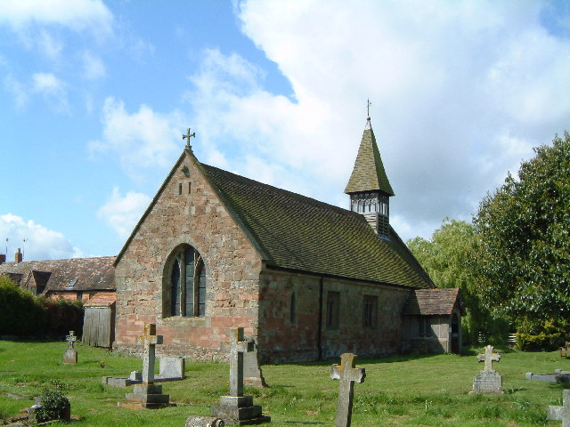
Church of St Michael and All Angels, Martin Hussingtree
The Church of St Michael and All Angels is a Grade I listed church in Martin Hussingtree, Worcestershire.The west wall is probably of 12th century origin...
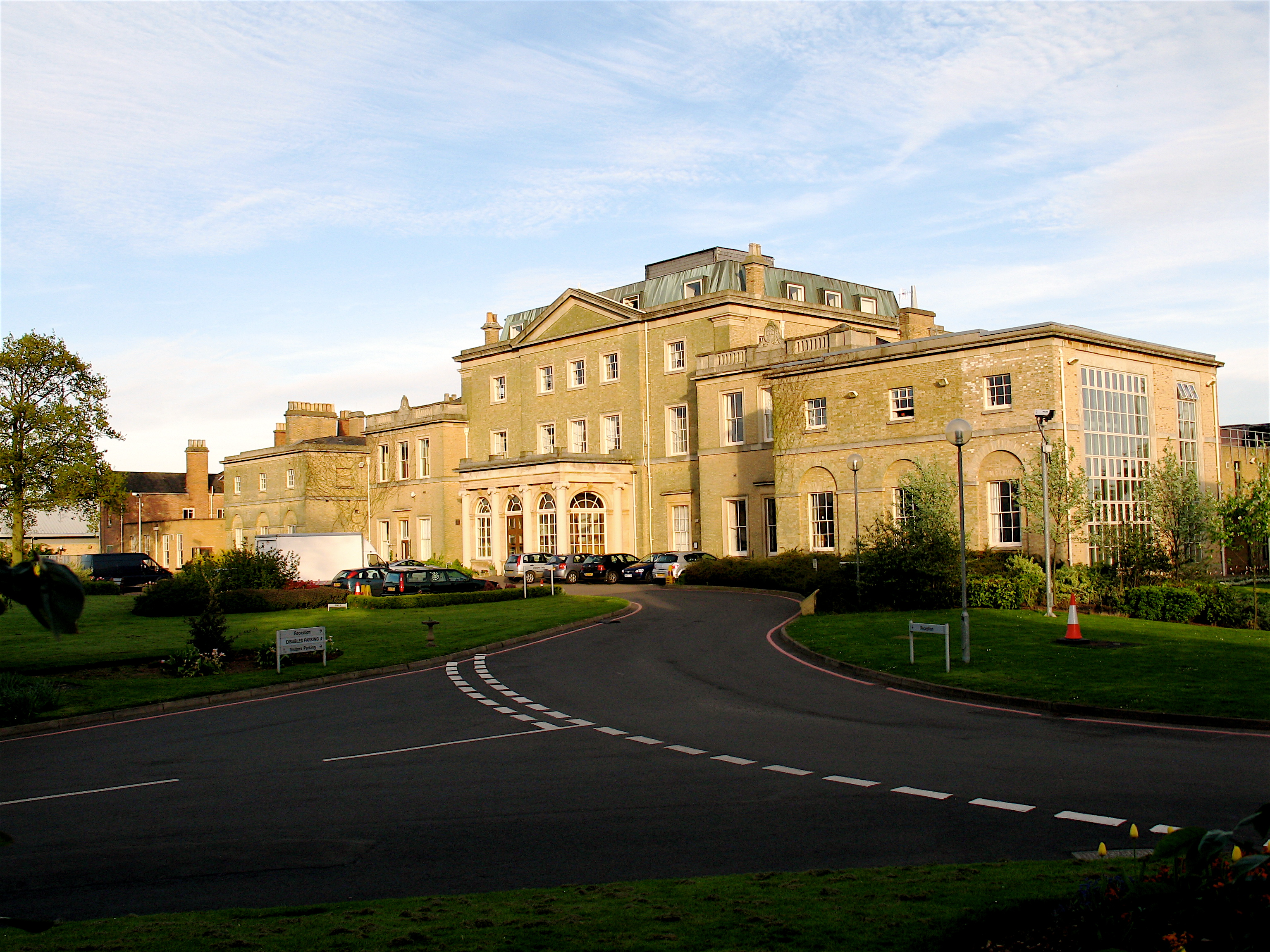
Hindlip Hall
Hindlip Hall is a stately home in Hindlip, Worcestershire, England. The first major hall was built before 1575, and it played a significant role in both...
Martin Hussingtree
Martin Hussingtree is a small village situated between Droitwich Spa and Worcester in the county of Worcestershire, England. It is north of another village...
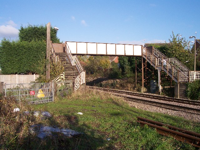
Fernhill Heath railway station
Fernhill Heath railway station was an intermediate railway station on the Oxford, Worcester and Wolverhampton Railway between Worcester (Tunnel Junction...
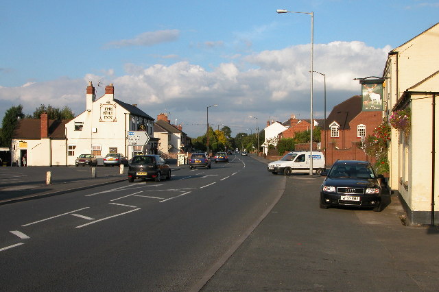
Fernhill Heath
Fernhill Heath is a village in Worcestershire, England. It is in the civil parish of North Claines in Wychavon district. Fernhill Heath is located on the...
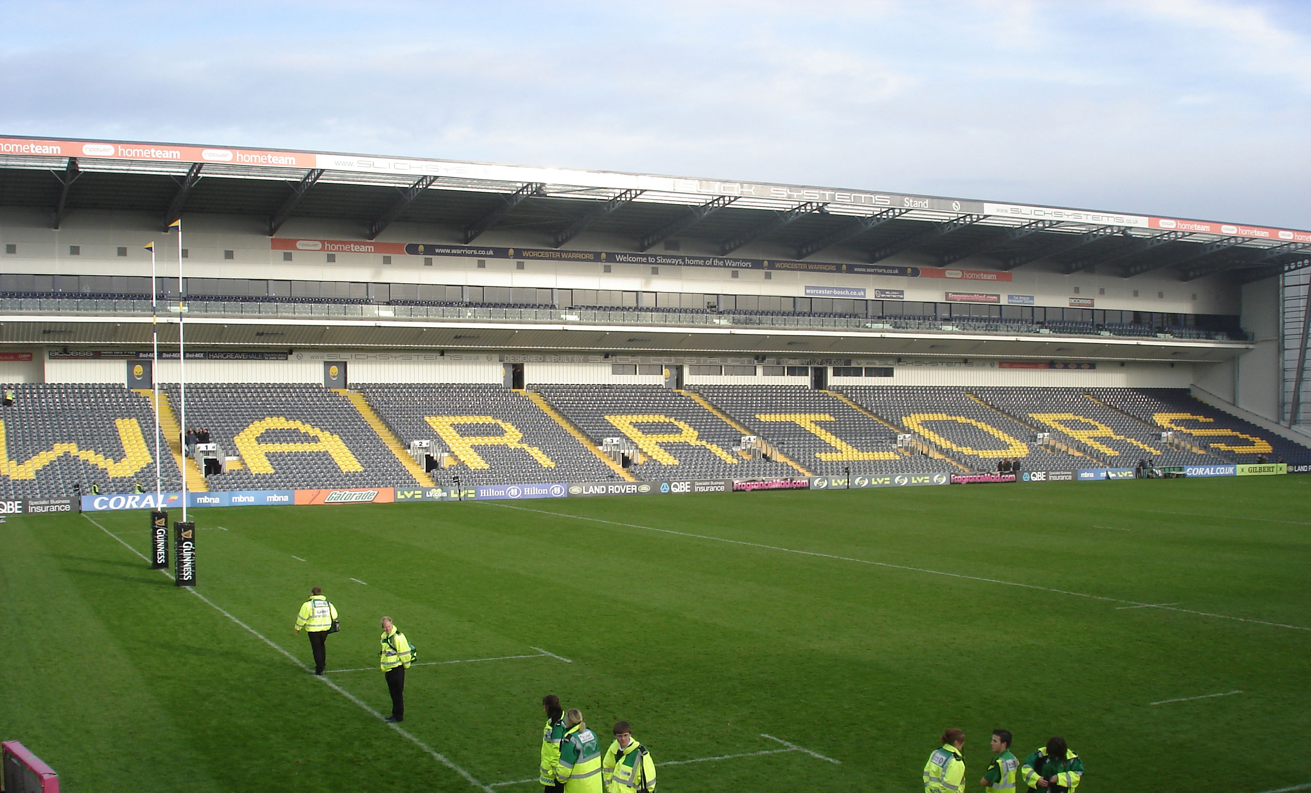
Sixways Stadium
Sixways Stadium is a stadium in Worcester, England. It is currently used for rugby union and association football matches and is the home stadium of Premier...

Worcester Raiders F.C.
Worcester Raiders Football Club is a football club based in Worcester, Worcestershire, England. They are currently members of the Hellenic League Premier...
Nearby Amenities
Located within 500m of 52.229851,-2.1758837Have you been to Blackthorn Covert?
Leave your review of Blackthorn Covert below (or comments, questions and feedback).