Croasdale
Settlement in Cumberland Copeland
England
Croasdale
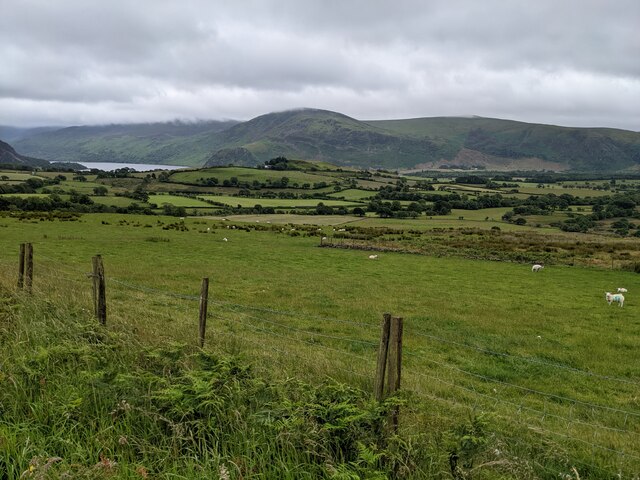
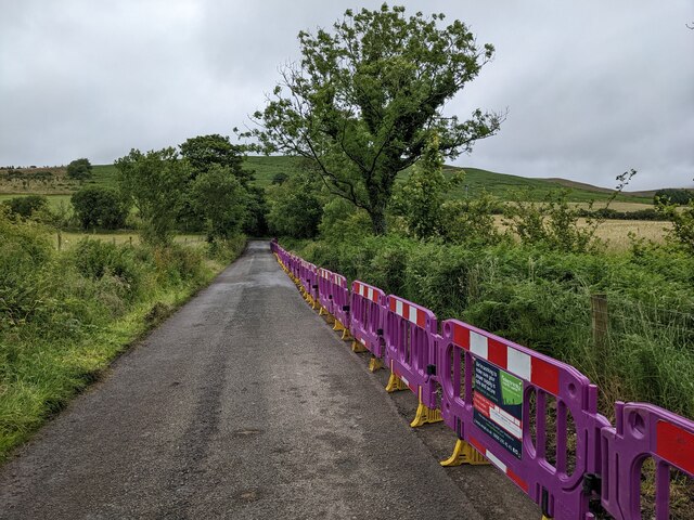
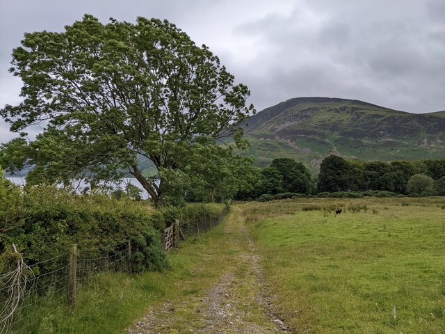
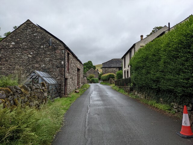
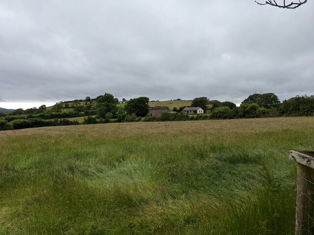
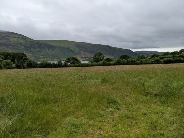
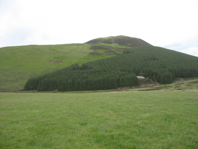
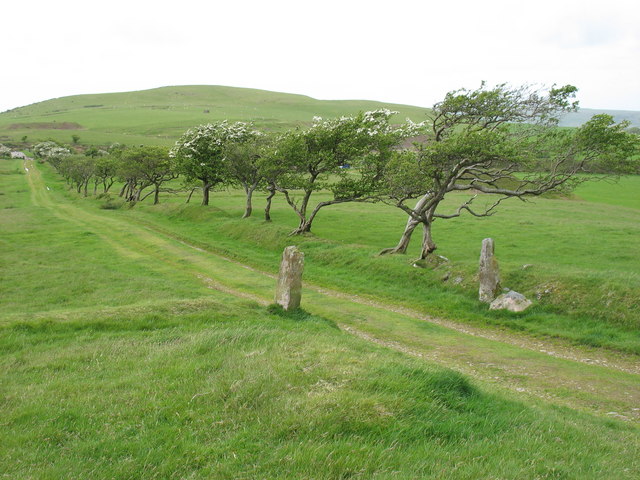
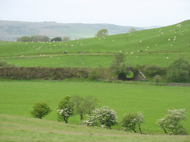
Croasdale is a small village located in the county of Cumberland, in the northwest of England. Situated amidst the picturesque countryside, this rural settlement is known for its tranquil and idyllic setting. The village is nestled within the stunning Croasdale Fell, which forms part of the larger Pennines mountain range.
The population of Croasdale is relatively small, with only a few dozen residents calling it home. The village mainly consists of traditional stone cottages and farmhouses, with some newer developments interspersed. The community is closely-knit, and residents often engage in various activities such as village fairs, community gatherings, and local events.
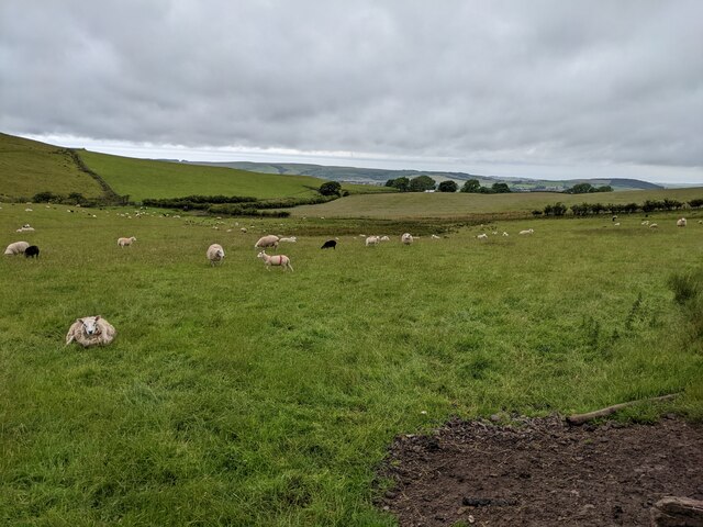
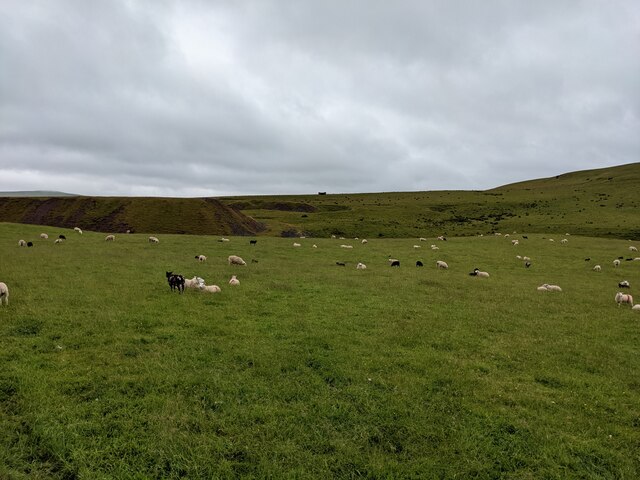
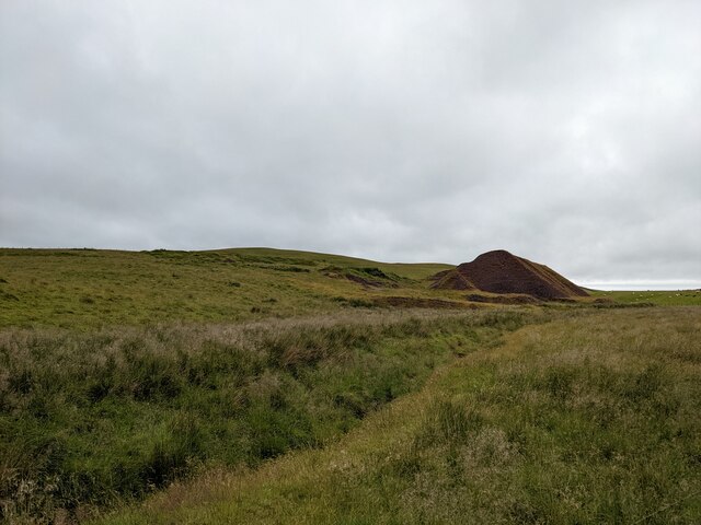
Nature enthusiasts are drawn to Croasdale due to its natural beauty and abundance of outdoor recreational opportunities. The surrounding landscape offers breathtaking views, with rolling hills, lush meadows, and pristine forests. The area is a haven for hikers, walkers, and cyclists, with numerous trails and paths that wind through the countryside.
Croasdale is located a short distance from the bustling market town of Kirkby Stephen, which provides residents with essential amenities such as shops, schools, and healthcare facilities. The village itself does not have its own shops or services, adding to its peaceful and secluded ambiance.
Overall, Croasdale is a charming and tranquil village that offers a serene countryside lifestyle. Its close-knit community, stunning natural surroundings, and proximity to essential amenities make it an attractive place to live for those seeking a peaceful retreat away from the hustle and bustle of city life.
If you have any feedback on the listing, please let us know in the comments section below.
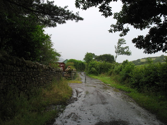
Croasdale Images
Images are sourced within 2km of 54.544799/-3.403447 or Grid Reference NY0917. Thanks to Geograph Open Source API. All images are credited.


Croasdale is located at Grid Ref: NY0917 (Lat: 54.544799, Lng: -3.403447)
Administrative County: Cumbria
District: Copeland
Police Authority: Cumbria
What 3 Words
///shiver.strutting.area. Near Frizington, Cumbria
Nearby Locations
Related Wikis

Knock Murton
Knock Murton or Murton Fell is a hill of 464.4 metres (1,524 ft) in the north west of the Lake District, England. It lies in the Borough of Copeland in...

Cogra Moss
Cogra Moss is a shallow reservoir to the east of the village of Lamplugh on the western edge of the English Lake District. It was created by the damming...
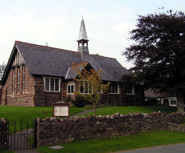
Kirkland Mission Church
Kirkland Mission Church is an Anglican church in Kirkland, in Cumbria in northern England. It falls within the deanery of Calder and the diocese of Carlisle...

Kirkland, Lamplugh
Kirkland is a small village near the A5086 road, in the Copeland district, in the English county of Cumbria. The nearest town is Cleator Moor. The Bible...
Nearby Amenities
Located within 500m of 54.544799,-3.403447Have you been to Croasdale?
Leave your review of Croasdale below (or comments, questions and feedback).