Darlaston Wood
Wood, Forest in Staffordshire Stafford
England
Darlaston Wood

Darlaston Wood is a forest located in Staffordshire, England. Situated in the Darlaston area, it covers approximately 300 acres of land. The wood is a mix of broadleaf and coniferous trees, offering a diverse and picturesque landscape for visitors to explore.
The forest is known for its rich biodiversity, with a wide variety of wildlife inhabiting the area. Visitors may spot deer, foxes, squirrels, and various bird species while wandering through the wood. The dense vegetation and towering trees create a serene and tranquil atmosphere, making it a popular destination for nature enthusiasts, hikers, and birdwatchers.
Darlaston Wood is also home to several walking trails and footpaths, providing an opportunity for visitors to fully immerse themselves in the natural beauty of the area. The well-maintained paths lead through different sections of the wood, offering a chance to discover hidden ponds, streams, and ancient trees along the way.
The forest is managed by a local conservation group, ensuring the preservation of its natural habitats and promoting sustainable practices. They organize educational events and guided tours to raise awareness about the importance of protecting the woodland and its inhabitants.
Darlaston Wood is easily accessible, with ample parking and facilities nearby. The forest is open to the public throughout the year and is a wonderful place to escape the hustle and bustle of everyday life, providing a peaceful retreat for all who venture into its depths.
If you have any feedback on the listing, please let us know in the comments section below.
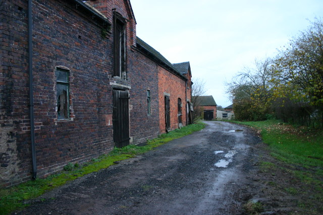
Darlaston Wood Images
Images are sourced within 2km of 52.911076/-2.1798391 or Grid Reference SJ8834. Thanks to Geograph Open Source API. All images are credited.


Darlaston Wood is located at Grid Ref: SJ8834 (Lat: 52.911076, Lng: -2.1798391)
Administrative County: Staffordshire
District: Stafford
Police Authority: Staffordshire
What 3 Words
///briefing.erupted.twit. Near Stone, Staffordshire
Nearby Locations
Related Wikis

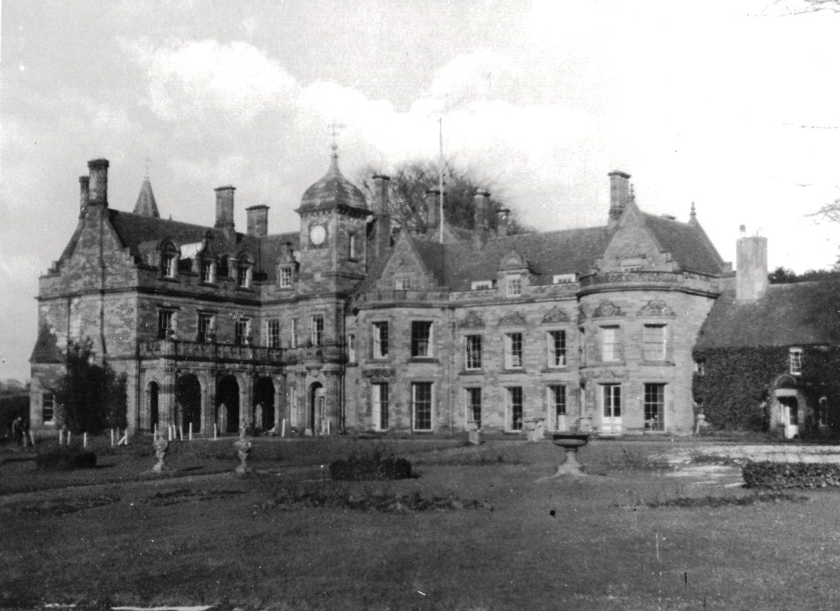
Dorlestone Hall
Dorlestone Hall was a manor house at Darlaston, a locality also known as Dorlestone, near Stone, Staffordshire, England, on the Trent. The Hall was built...

Bury Bank
Bury Bank is an Iron Age hillfort in Staffordshire, England, about 1.5 miles (2.4 km) north-west of Stone and near the village of Meaford. It is a scheduled...
Meaford Hall, Staffordshire
Meaford Hall in Staffordshire, England is a 17th-century country house at Meaford, near Stone, Staffordshire. The River Trent runs through the estate's...
Stone Rural District
Stone Rural District was a rural district in Staffordshire, England. It was created in 1894 and abolished by virtue of the Local Government Act 1972 in...
Nearby Amenities
Located within 500m of 52.911076,-2.1798391Have you been to Darlaston Wood?
Leave your review of Darlaston Wood below (or comments, questions and feedback).