Lett's Wood
Wood, Forest in Worcestershire Wyre Forest
England
Lett's Wood

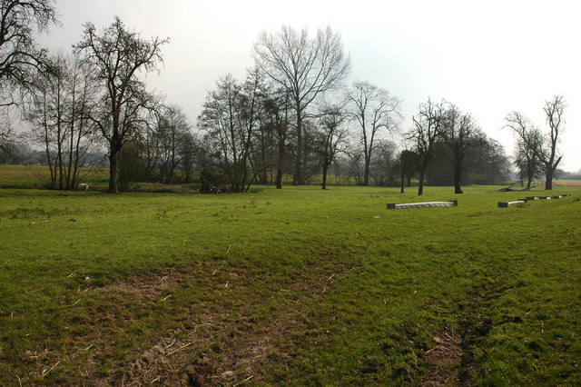
Lett's Wood is a serene and picturesque woodland located in the county of Worcestershire, England. Spanning over an area of approximately 50 hectares, this beautiful forest is a haven for nature enthusiasts and outdoor adventurers alike.
The wood is predominantly made up of ancient oak trees, which create a dense canopy, filtering sunlight and creating a cool and tranquil atmosphere. These majestic trees have been standing for centuries, providing a habitat for a wide variety of flora and fauna. The forest floor is adorned with a rich carpet of wildflowers, adding bursts of color to the greenery.
Lett's Wood is crisscrossed with a network of well-maintained footpaths, making it easily accessible for walkers and hikers. Exploring these trails offers visitors the opportunity to immerse themselves in the natural beauty of the woodland, while also providing glimpses of the diverse wildlife that inhabits the area. Deer, foxes, and a plethora of bird species can often be spotted amidst the trees and foliage.
In addition to its natural beauty, Lett's Wood is also steeped in history. The forest has been utilized by humans for centuries, with evidence of ancient settlements and agricultural activities. The remnants of old boundaries and stone walls can still be seen, adding an element of intrigue and historical significance to the woodland.
Lett's Wood is a true gem of Worcestershire, offering visitors a chance to escape the hustle and bustle of daily life and reconnect with nature. Whether it is a leisurely stroll, a picnic amidst the trees, or an exploration of the forest's rich history, this enchanting woodland has something to offer everyone.
If you have any feedback on the listing, please let us know in the comments section below.
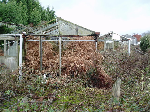
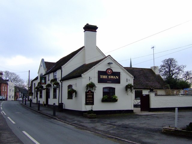
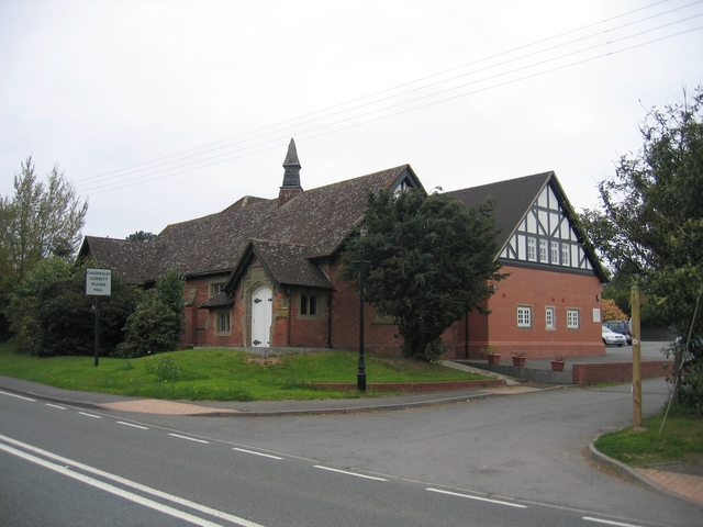
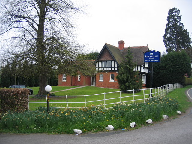
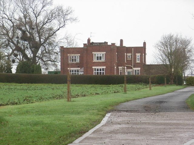
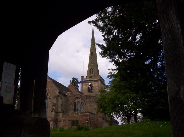
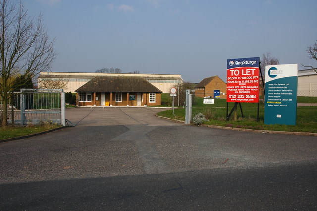
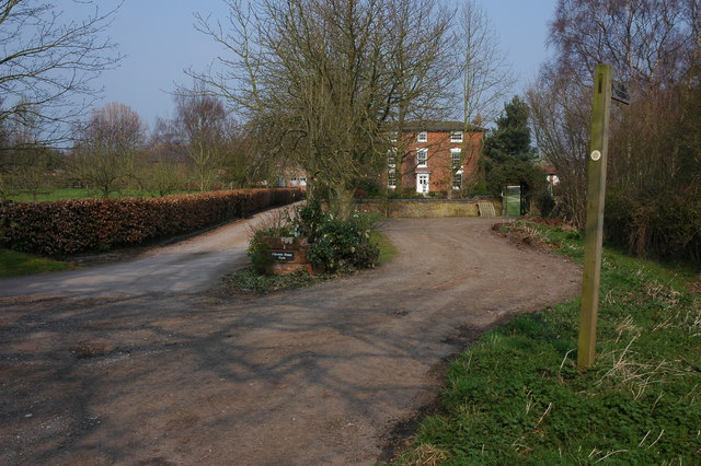
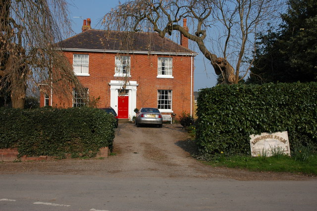
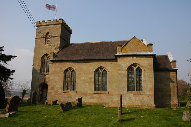
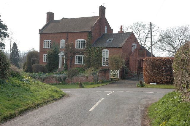
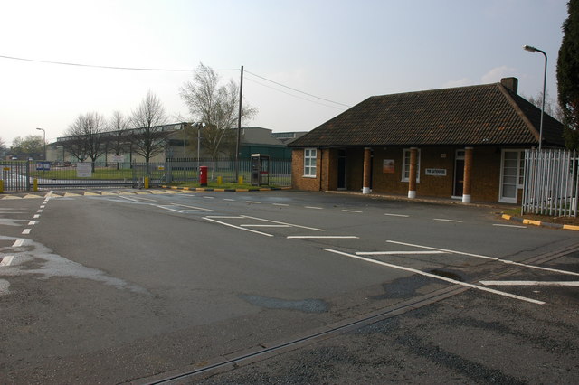
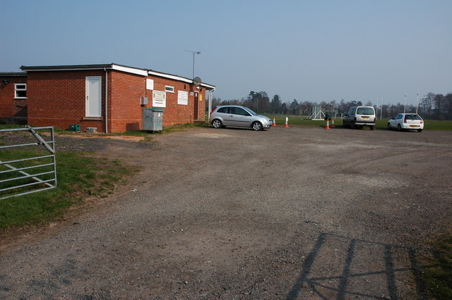
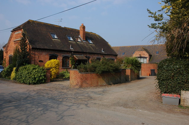
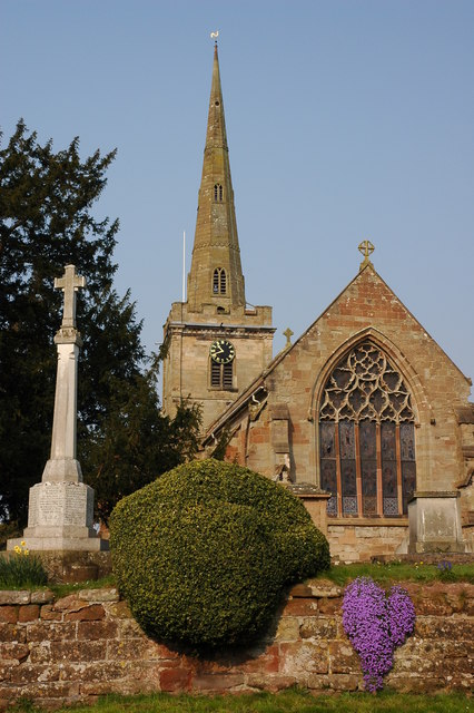
Lett's Wood Images
Images are sourced within 2km of 52.352236/-2.1809946 or Grid Reference SO8772. Thanks to Geograph Open Source API. All images are credited.

Lett's Wood is located at Grid Ref: SO8772 (Lat: 52.352236, Lng: -2.1809946)
Administrative County: Worcestershire
District: Wyre Forest
Police Authority: West Mercia
What 3 Words
///rivals.romance.cleanest. Near Hartlebury, Worcestershire
Nearby Locations
Related Wikis

Spennells
Spennells is a suburb of Kidderminster, Worcestershire about a mile south of the town centre. It is located just to the east of the A449 and the railway...
Shenstone, Worcestershire
Shenstone is a village in Worcestershire, England, located near Kidderminster.

Harvington Hall
Harvington Hall is a moated medieval and Elizabethan manor house in the hamlet of Harvington in the civil parish of Chaddesley Corbett, southeast of Kidderminster...

Chaddesley Corbett
Chaddesley Corbett is a village and civil parish in the Wyre Forest District of Worcestershire, England. The Anglican and secular versions of the parish...

Rushock
Rushock is a village and civil parish in the Wyre Forest District of Worcestershire, England. At the 2001 census it had a population of 138. The grave...
Stone, Worcestershire
Stone is a village and civil parish in the Wyre Forest District of Worcestershire, England. Of Anglo-Saxon origin, it lies two miles south-east of Kidderminster...

Tanwood
Tanwood is a hamlet in the English county of Worcestershire. It lies about one mile northeast of the village of Chaddesley Corbett and forms part of the...

Hartlebury railway station
Hartlebury railway station serves the village of Hartlebury in Worcestershire, England. All trains serving the station are operated by West Midlands Trains...
Nearby Amenities
Located within 500m of 52.352236,-2.1809946Have you been to Lett's Wood?
Leave your review of Lett's Wood below (or comments, questions and feedback).