Barrow Wood

Wood, Forest in Gloucestershire Tewkesbury

England

Barrow Wood

Prior's Norton, St Mary
Prior's Norton, St Mary Credit: Dave Kelly

Barrow Wood is a picturesque forest located in Gloucestershire, England. Covering an area of approximately 100 hectares, this woodland is a popular destination for nature enthusiasts and outdoor adventurers alike. The forest is situated near the village of Barrow, which is surrounded by rolling hills and stunning countryside.

Barrow Wood boasts a diverse range of tree species, including oak, ash, beech, and birch, which create a vibrant and lush landscape throughout the year. The woodland floor is carpeted with a variety of wildflowers, adding splashes of color to the greenery.

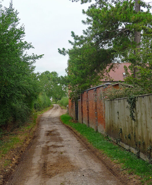
The forest is intersected by a network of well-maintained footpaths and trails, providing visitors with the opportunity to explore its natural beauty at their leisure. These paths meander through the woodland, offering glimpses of tranquil streams, small ponds, and occasional wildlife sightings. Birdwatchers will be delighted to know that Barrow Wood is home to a variety of avian species, including woodpeckers, tits, and thrushes.

Barrow Wood is a haven for outdoor activities such as hiking, jogging, and cycling. The forest is also a perfect spot for picnicking, with designated areas equipped with benches and tables. Visitors can enjoy a peaceful afternoon surrounded by the calming sounds of nature.

Overall, Barrow Wood in Gloucestershire offers a serene and picturesque escape from the hustle and bustle of daily life. Its natural beauty, diverse ecosystem, and recreational opportunities make it an appealing destination for individuals seeking tranquility and a connection with nature.

If you have any feedback on the listing, please let us know in the comments section below.
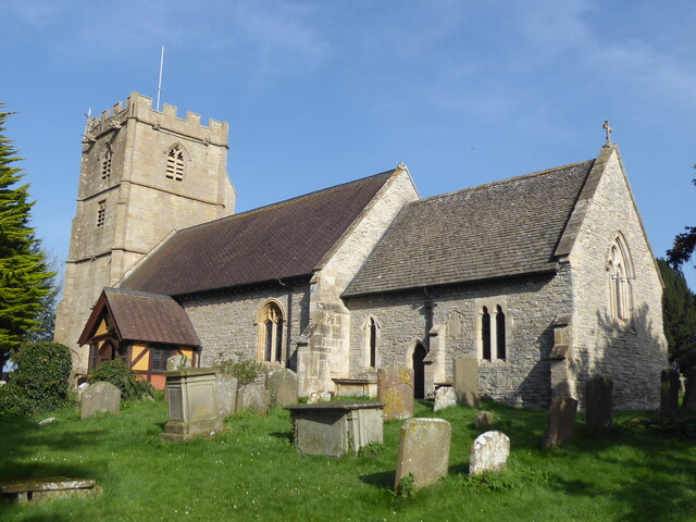
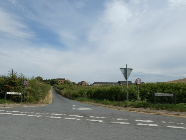
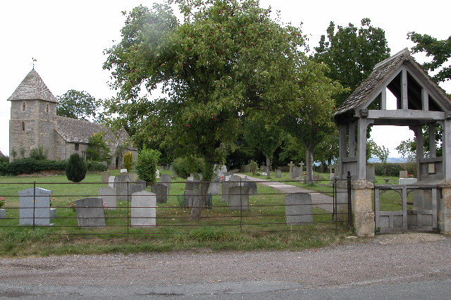
Barrow Wood Images

Images are sourced within 2km of 51.915254/-2.18064 or Grid Reference SO8724. Thanks to Geograph Open Source API. All images are credited.

Prior's Norton, St Mary
Road to Prior's Norton from A38
Farm track (footpath) south-east from Norton
Old Manor House, Staverton Timber-framed, C16th main range, enlarged in the C17th and much restored in the C19th and C20th. Grade II listed.
Old Manor House, Staverton
Timber-framed, C16th main range, enlarged in the C17th and much restored in the C19th and C20th. Grade II listed.
Country road, Staverton Short, leading only to a farm and footpaths.
Country road, Staverton
Short, leading only to a farm and footpaths.
Sunset at Fern Court Summer sunset at Fern Court.
Sunset at Fern Court
Summer sunset at Fern Court.
Nature First Premises of this landscaping business specialising in trees, viewed from Wood Lane opposite Woodfold Farm. See <span class="nowrap"><a title="http://www.naturefirst.co.uk/" rel="nofollow ugc noopener" href="http://www.naturefirst.co.uk/">Link</a><img style="margin-left:2px;" alt="External link" title="External link - shift click to open in new window" src="https://s1.geograph.org.uk/img/external.png" width="10" height="10"/></span>
Nature First
Premises of this landscaping business specialising in trees, viewed from Wood Lane opposite Woodfold Farm. See LinkExternal link
Field edge north of Wood Farm, 2015 A fifth anniversary revisit to this spot showing that farming carries on as before. See <a href="https://www.geograph.org.uk/photo/2143513">SO8723 : Field edge north of Wood Farm</a>.
Field edge north of Wood Farm, 2015
A fifth anniversary revisit to this spot showing that farming carries on as before. See SO8723 : Field edge north of Wood Farm.
View to the Malvern Hills Looking north-west from near Wood Farm over a large arable field.
View to the Malvern Hills
Looking north-west from near Wood Farm over a large arable field.
Flat fields north of Down Hatherley The tower of Prior's Norton church on its low hill can be seen in the damp distance.
Flat fields north of Down Hatherley
The tower of Prior's Norton church on its low hill can be seen in the damp distance.
Ploughed ground, Down Hatherley Looking west across low-lying farmland on the greater Severn flood plain.
Ploughed ground, Down Hatherley
Looking west across low-lying farmland on the greater Severn flood plain.
Down Hatherley village hall Viewed from the public footpath to the north-west.
Down Hatherley village hall
Viewed from the public footpath to the north-west.
St Mary & Corpus Christi Church Grade II* listed parish church dating from the 15th century
St Mary & Corpus Christi Church
Grade II* listed parish church dating from the 15th century
St Mary & Corpus Christi Church, Down Hatherley
Well at Down Hatherley
St Mary & Corpus Christi Church, Down Hatherley
Former Sir Matthew Wood's School Down Hatherley, built in 1846.
Former Sir Matthew Wood's School
Down Hatherley, built in 1846.
Show me another place!

Barrow Wood is located at Grid Ref: SO8724 (Lat: 51.915254, Lng: -2.18064)

Administrative County: Gloucestershire

District: Tewkesbury

Police Authority: Gloucestershire

What 3 Words

///diagram.tickling.flip. Near Churchdown, Gloucestershire

Nearby Locations

Barrow Wood

Related Wikis

Nearby Amenities

Located within 500m of 51.915254,-2.18064
Mordon,s Wood
Natural: wood
Lat/Long: 51.9108934/-2.179142
Power: tower
Source: Bing
Lat/Long: 51.9191856/-2.1782865
Power: tower
Source: Bing
Lat/Long: 51.9142621/-2.1786406
Power: tower
Source: Bing
Lat/Long: 51.9172004/-2.1743705
Power: tower
Source: Bing
Lat/Long: 51.9147717/-2.1736087
Power: tower
Source: Bing
Lat/Long: 51.9138253/-2.1831896
Power: pole
Lat/Long: 51.9186391/-2.1798353
Location Transition: yes
Power: pole
Lat/Long: 51.9187781/-2.1784499
Power: pole
Lat/Long: 51.917893/-2.1854398
Power: pole
Lat/Long: 51.9181052/-2.1841201
Power: pole
Lat/Long: 51.9183356/-2.1826509
Power: pole
Lat/Long: 51.9184861/-2.1812569
The data included in this document is from www.openstreetmap.org. The data is made available under ODbL.

Have you been to Barrow Wood?

Leave your review of Barrow Wood below (or comments, questions and feedback).