Ladybirch Wood
Wood, Forest in Staffordshire South Staffordshire
England
Ladybirch Wood
Ladybirch Wood is a picturesque woodland located in Staffordshire, England. Covering an area of approximately 50 acres, it is a popular destination for nature enthusiasts and those seeking a tranquil retreat. The wood is situated near the village of Ladybirch, which is known for its scenic beauty and charming rural atmosphere.
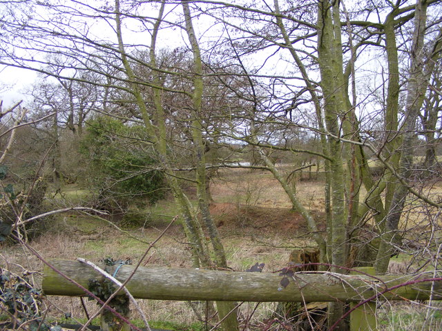
The woodland is predominantly composed of deciduous trees, including oak, beech, and ash, which create a vibrant and diverse ecosystem. These trees provide a habitat for a wide range of wildlife, such as birds, squirrels, and deer, making it a haven for nature lovers and wildlife photographers.
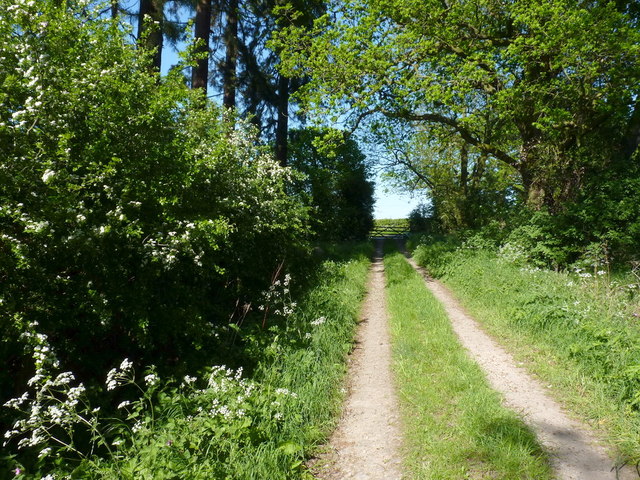
Visitors to Ladybirch Wood can enjoy a variety of activities, including walking, hiking, and birdwatching. There are well-maintained trails that wind through the wood, allowing visitors to explore its natural beauty at their own pace. The peaceful surroundings and beautiful scenery make it an ideal spot for a leisurely stroll or a family picnic.
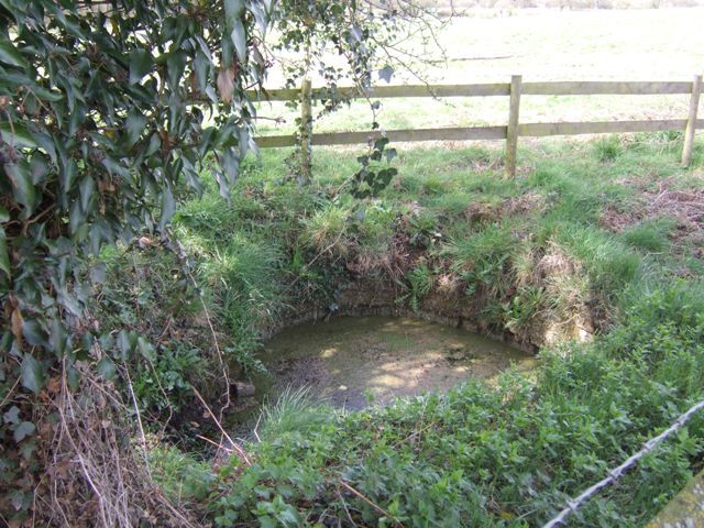
Ladybirch Wood is also home to a small pond, which further enhances its charm and attracts a variety of aquatic creatures. The pond provides a serene setting for reflection and relaxation, as well as an opportunity to observe frogs, newts, and other water-dwelling species.
Overall, Ladybirch Wood offers a tranquil escape from the hustle and bustle of everyday life. With its diverse flora and fauna, well-maintained trails, and peaceful ambiance, it is a must-visit destination for nature enthusiasts and those seeking a peaceful retreat in the heart of Staffordshire.
If you have any feedback on the listing, please let us know in the comments section below.
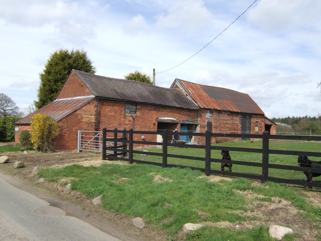
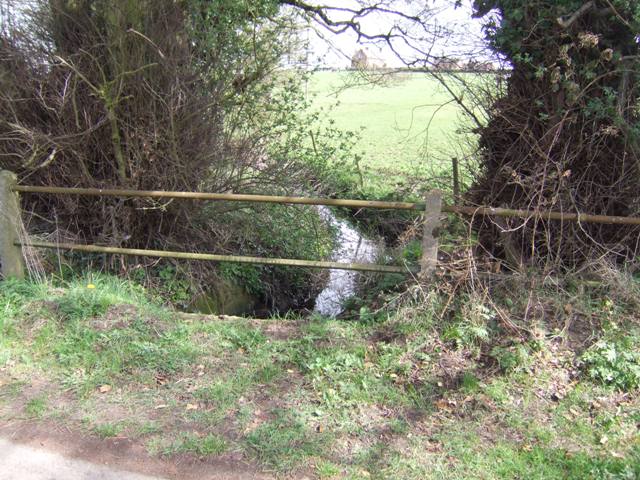
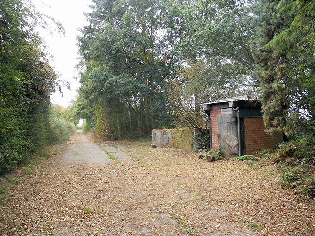
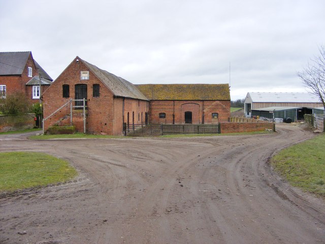
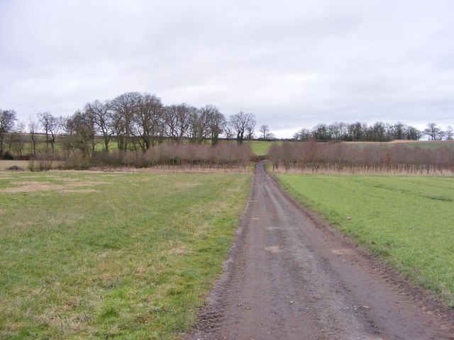
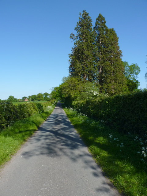
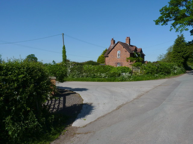
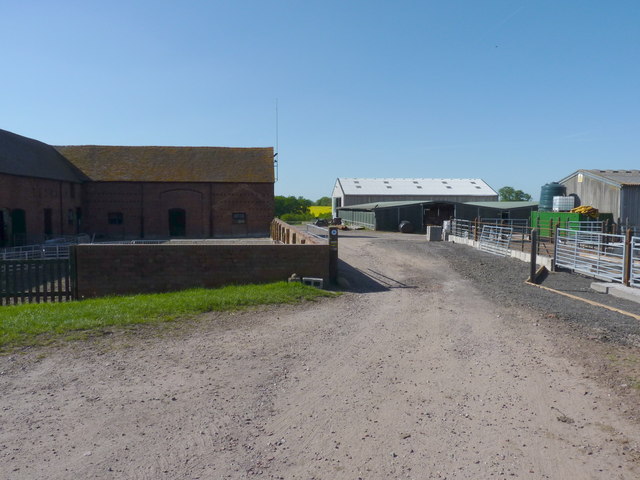
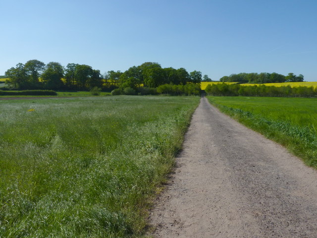
Ladybirch Wood Images
Images are sourced within 2km of 52.655829/-2.1848938 or Grid Reference SJ8706. Thanks to Geograph Open Source API. All images are credited.


Ladybirch Wood is located at Grid Ref: SJ8706 (Lat: 52.655829, Lng: -2.1848938)
Administrative County: Staffordshire
District: South Staffordshire
Police Authority: Staffordshire
What 3 Words
///plot.expand.served. Near Brewood, Staffordshire
Nearby Locations
Related Wikis

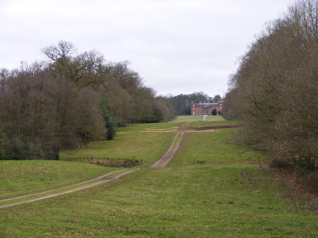
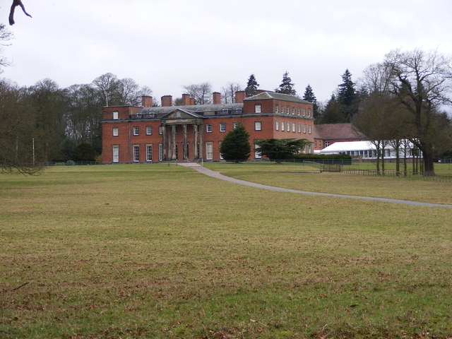
Chillington Hall
Chillington Hall is a Georgian country house near Brewood, Staffordshire, England, four miles northwest of Wolverhampton. It is the residence of the Giffard...

Gunstone
Gunstone is a hamlet in the South Staffordshire district of Staffordshire, England. It is situated north east of the village of Codsall. == Place name... ==
Brewood Grammar School
Brewood Grammar School was a boys' school in the village of Brewood in South Staffordshire, England. Founded in the mid 15th century by the Bishop of Lichfield...
Speedwell Castle
Speedwell Castle is a mid-18th-century house at the centre of Brewood, Staffordshire, between Wolverhampton and Stafford. Described by Pevsner as a "peach...
Nearby Amenities
Located within 500m of 52.655829,-2.1848938Have you been to Ladybirch Wood?
Leave your review of Ladybirch Wood below (or comments, questions and feedback).