Colloway Clump
Wood, Forest in Wiltshire
England
Colloway Clump

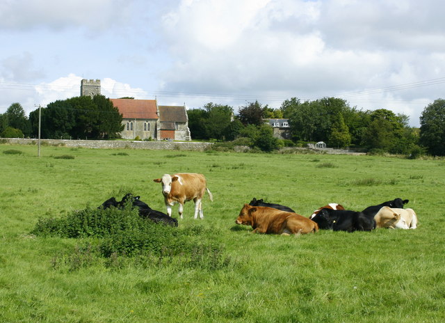
Colloway Clump is a picturesque woodland located in the county of Wiltshire, England. Nestled within the stunning countryside, this forested area covers an approximate area of 100 acres. The clump is situated near the village of Colloway, giving it its name, and is a popular destination for nature enthusiasts, hikers, and bird watchers.
The woodland is predominantly composed of a mix of deciduous and coniferous trees, creating a diverse and vibrant landscape throughout the year. Ancient oaks, beech, and birch trees dominate the area, providing a rich habitat for a variety of wildlife. Bluebells and wildflowers carpet the forest floor during spring, creating a stunning display of color.
Several well-maintained footpaths and trails crisscross the clump, allowing visitors to explore the woodland at their leisure. These paths offer breathtaking views of the surrounding countryside and lead to hidden glades and peaceful streams, adding to the charm of the area.
Colloway Clump is also renowned for its abundance of birdlife. Birdwatchers can spot a range of species, including woodpeckers, kingfishers, and owls, making it a perfect spot for avid bird enthusiasts. The tranquil atmosphere and lush vegetation provide an ideal environment for these feathered creatures.
Visitors to Colloway Clump can also find various recreational activities, such as picnicking and nature photography. The forest is easily accessible, with ample parking facilities and well-marked trails. The area is well-maintained by local authorities, ensuring a safe and enjoyable experience for all who visit.
Overall, Colloway Clump in Wiltshire is a captivating woodland that offers a peaceful retreat for nature lovers and a haven for wildlife, making it a must-visit destination for those seeking a connection with the natural beauty of the English countryside.
If you have any feedback on the listing, please let us know in the comments section below.
Colloway Clump Images
Images are sourced within 2km of 51.222267/-2.1831942 or Grid Reference ST8747. Thanks to Geograph Open Source API. All images are credited.


Colloway Clump is located at Grid Ref: ST8747 (Lat: 51.222267, Lng: -2.1831942)
Unitary Authority: Wiltshire
Police Authority: Wiltshire
What 3 Words
///fixated.prowl.staining. Near Upton Scudamore, Wiltshire
Nearby Locations
Related Wikis
Upton Scudamore
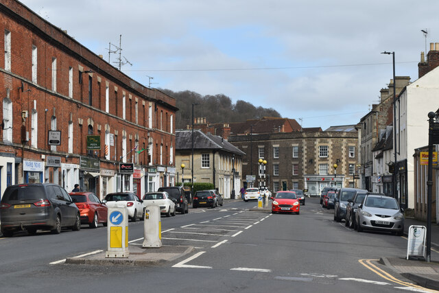
Upton Scudamore is a village and civil parish in Wiltshire, England. The village lies about 1.8 miles (3 km) north of the town of Warminster and about...
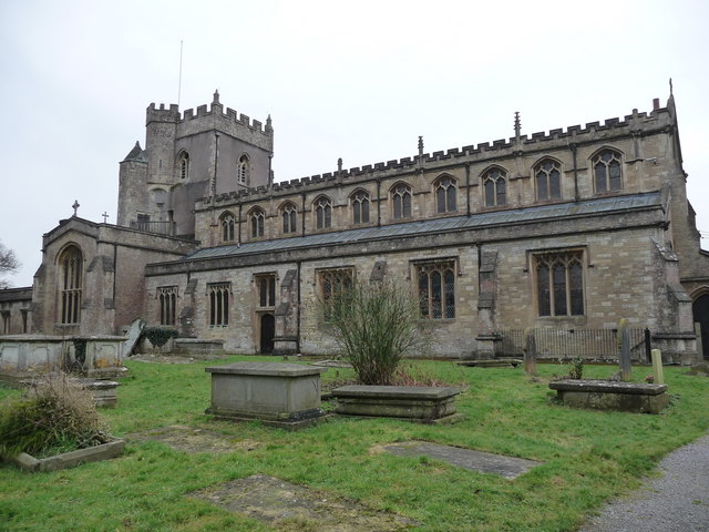
St Denys' Church, Warminster
St Denys' Church (or the Minster Church of St Denys) is the parish church of the town of Warminster, Wiltshire, England, and is the town's oldest church...
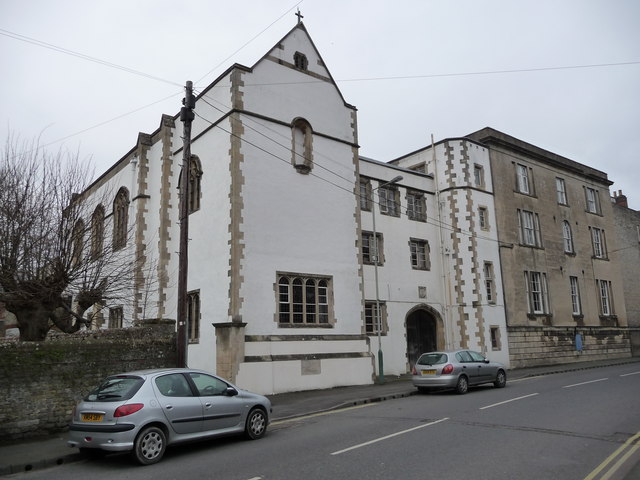
St Boniface College, Warminster
St Boniface College, Warminster, formerly St Boniface Missionary College, was an Anglican educational institution in the Wiltshire town of Warminster,...

Warminster School
Warminster School is a co-educational independent boarding and day school in Warminster, Wiltshire, England, for pupils aged three to eighteen. Initially...

Portway House
Portway House is a Grade I listed town house in Warminster, Wiltshire, England. The house was built in 1722 for wealthy clothier Edward Middlecott, the...
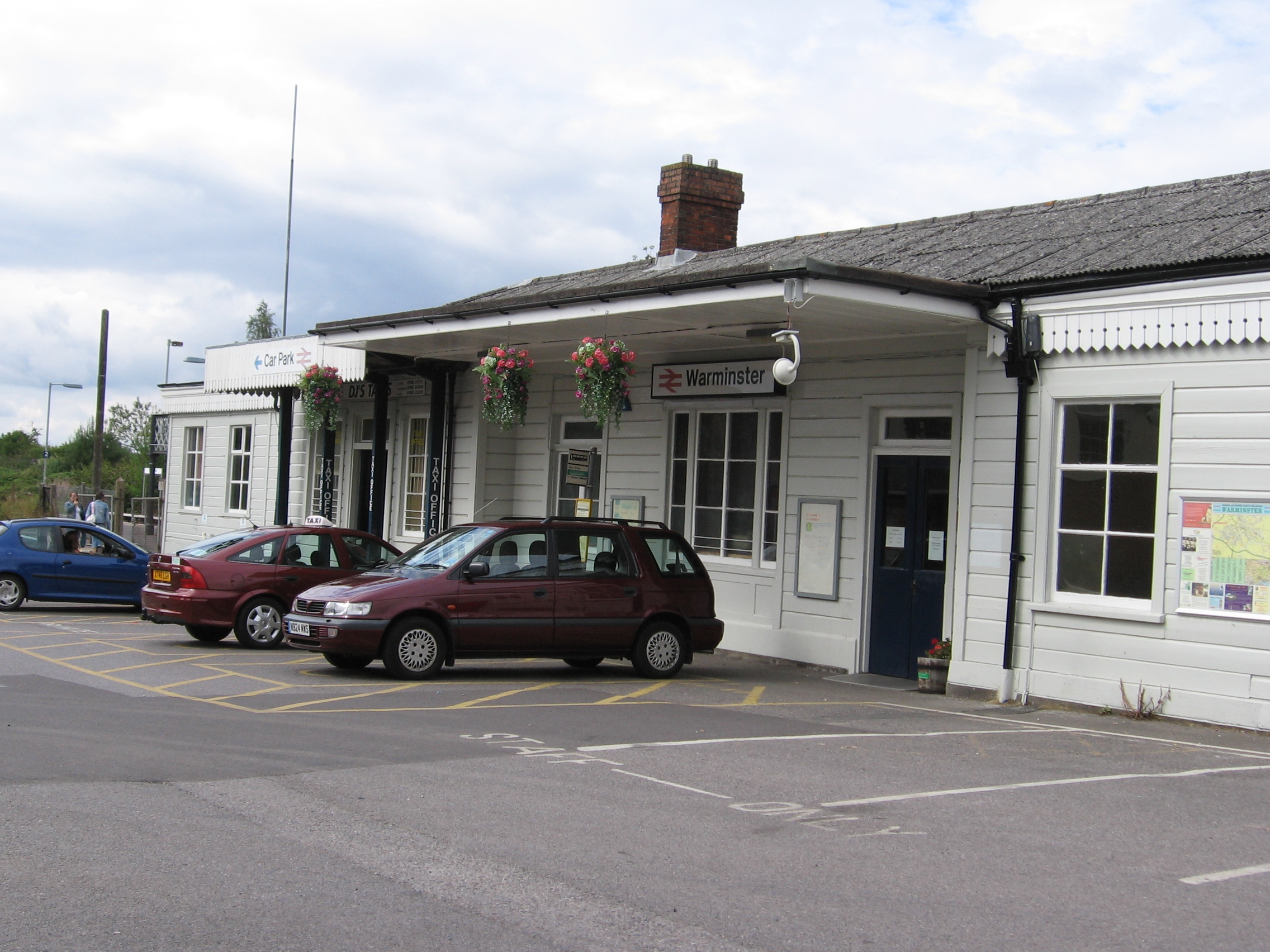
Warminster railway station
Warminster railway station serves the town of Warminster in Wiltshire, England. The station is operated by Great Western Railway and is a main station...
Byne House
Byne House is a Grade II* listed house at 40 Church Street, Warminster, Wiltshire, England. It was built in 1755 for the clothier John Wansey, and is an...

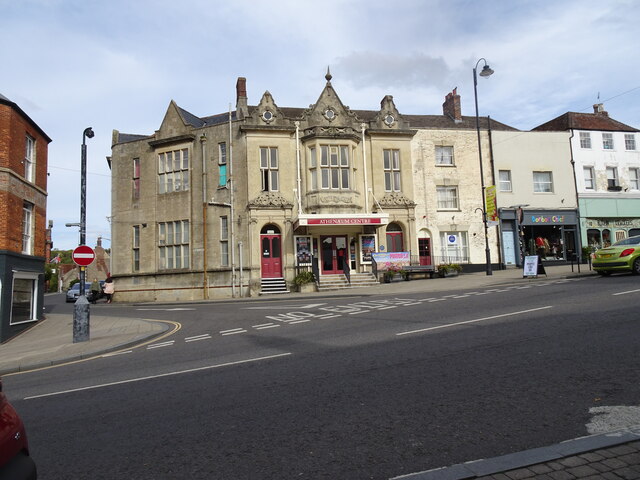
Warminster Athenaeum
Warminster Athenaeum is a Victorian theatre in Warminster, Wiltshire, England, and a Grade II listed building. Built in Jacobean style in 1857/8 to designs...
Nearby Amenities
Located within 500m of 51.222267,-2.1831942Have you been to Colloway Clump?
Leave your review of Colloway Clump below (or comments, questions and feedback).