Brook Covert

Wood, Forest in Staffordshire Stafford

England

Brook Covert

Lavender Close Bungalows and back gardens on Lavender Close, Great Bridgeford, Stafford.
Lavender Close Credit: Ajay Tegala

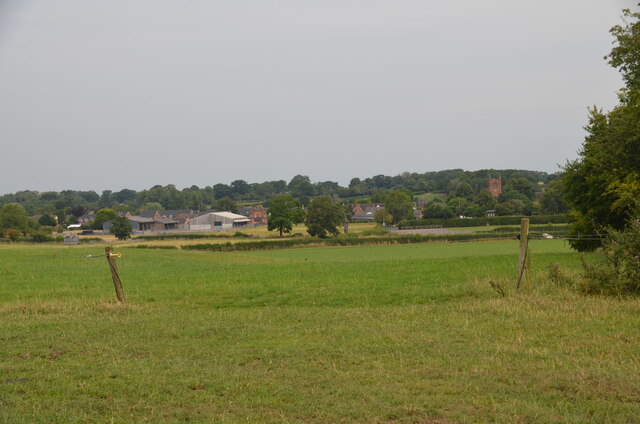
Brook Covert, Staffordshire (Wood, Forest) is a picturesque village located in the county of Staffordshire, England. Situated in the heart of the Staffordshire Moorlands district, this charming settlement is surrounded by sprawling woodlands and dense forests, giving it a tranquil and scenic atmosphere.

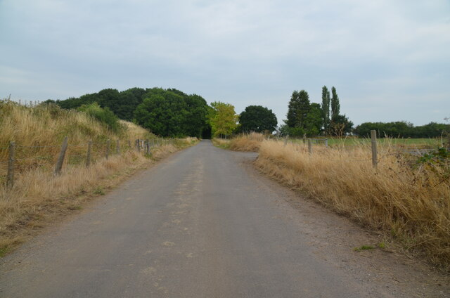
The village is home to a small population, with a close-knit community that takes pride in its natural surroundings. The landscape is characterized by rolling hills, meandering brooks, and an abundance of lush greenery. This makes it a popular destination for nature lovers, hikers, and outdoor enthusiasts. The woodlands provide ample opportunities for exploring, with various walking trails and paths leading through the enchanting forests.

Despite its rural setting, Brook Covert is well-connected to neighboring towns and cities. The village is just a short drive away from the market town of Leek, which offers a range of amenities such as shops, supermarkets, and restaurants. Additionally, the nearby city of Stoke-on-Trent provides access to further facilities and entertainment options.

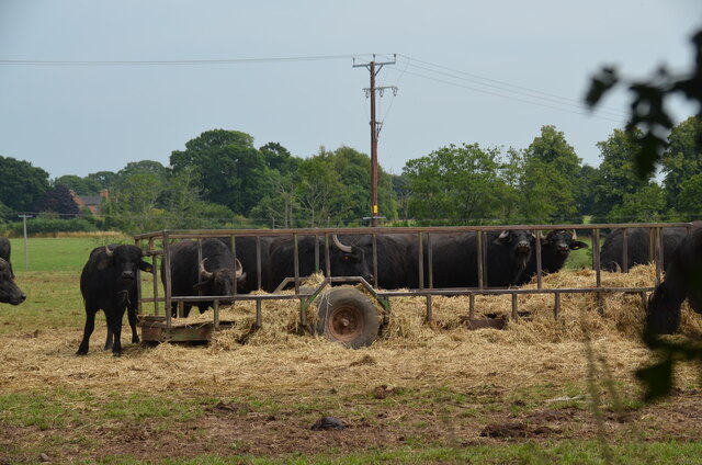
Historically, Brook Covert has been a predominantly agricultural area, with farming playing a significant role in the local economy. However, in recent years, the village has also seen an increase in tourism due to its natural beauty and peaceful ambiance. Visitors can enjoy the tranquility of the woodlands, participate in outdoor activities, or simply relax in the idyllic surroundings.

Overall, Brook Covert, Staffordshire (Wood, Forest) offers a serene retreat from the hustle and bustle of city life, providing residents and visitors with a chance to reconnect with nature and enjoy the simple pleasures of a close-knit community.

If you have any feedback on the listing, please let us know in the comments section below.
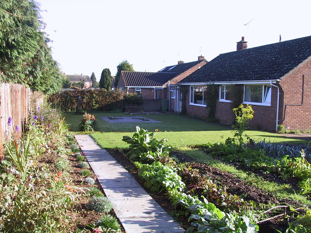
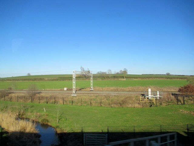
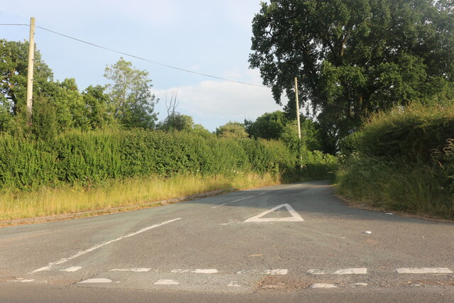
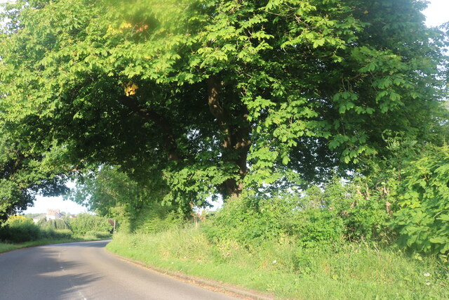
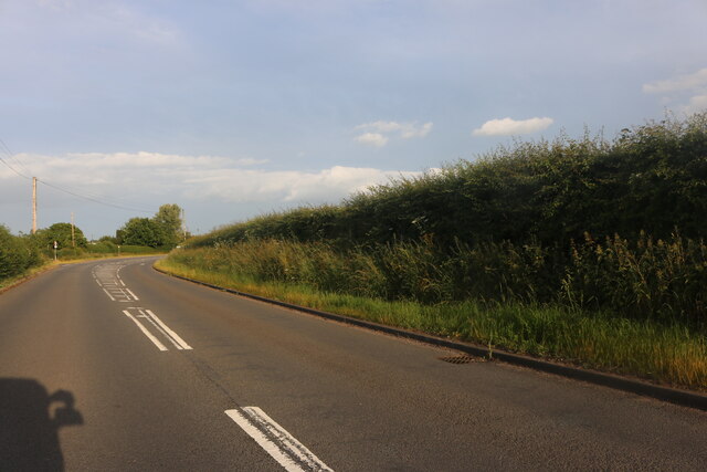
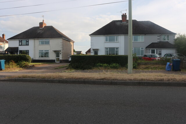
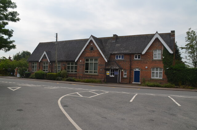
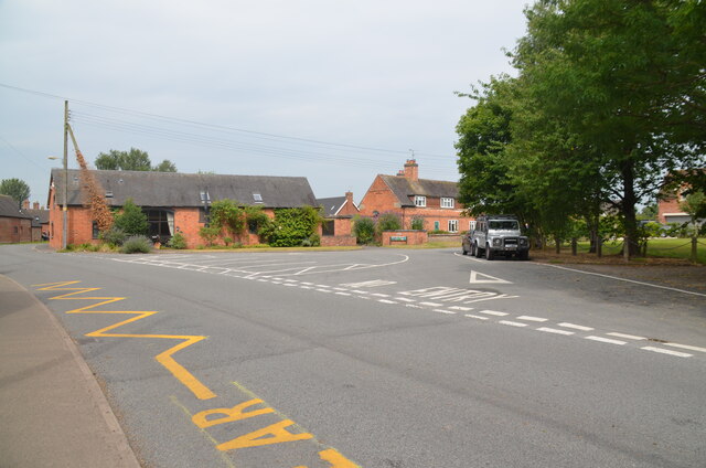
Brook Covert Images

Images are sourced within 2km of 52.836687/-2.1924607 or Grid Reference SJ8726. Thanks to Geograph Open Source API. All images are credited.

Lavender Close Bungalows and back gardens on Lavender Close, Great Bridgeford, Stafford.
Lavender Close
Bungalows and back gardens on Lavender Close, Great Bridgeford, Stafford.
The River Sow at Little Bridgeford railway junction
Former RAF Seighford  / 6th Gear Car Driving Experience, Seighford Built in 1942 as a satellite/relief landing ground for RAF Hixon, 7.5 miles (12.1 km) to the east. It is currently used as a car driving experience day. I was there to lap in an Audi R8 / Aston Martin Vantage V8 Roadster / Lamborghini Gallardo LP570-4 Superleggera.. Good fun :)
Former RAF Seighford / 6th Gear Car Driving Experience, Seighford
Built in 1942 as a satellite/relief landing ground for RAF Hixon, 7.5 miles (12.1 km) to the east. It is currently used as a car driving experience day. I was there to lap in an Audi R8 / Aston Martin Vantage V8 Roadster / Lamborghini Gallardo LP570-4 Superleggera.. Good fun :)
Waltonhurst Road, Walton
Eccleshall Road, Walton
Eccleshall Road, Great Bridgeford
Houses on Eccleshall Road, Great Bridgeford
Cooper Perry Primary School, Seighford near Stafford Cooper Perry Primary School, Seighford near Stafford is named after Sir Edwin Cooper Perry, GCVO (1856-1938) who was a physician and became Vice-Chancellor of the University of London. His father was the vicar of St Chad's Church, Seighford.
Cooper Perry Primary School, Seighford near Stafford
Cooper Perry Primary School, Seighford near Stafford is named after Sir Edwin Cooper Perry, GCVO (1856-1938) who was a physician and became Vice-Chancellor of the University of London. His father was the vicar of St Chad's Church, Seighford.
The Green, Seighford, near Stafford A view across The Green, Seighford, towards a barn conversion in the centre-left. Cooper Perry Junior School is behind the photographer. St Chad's church is off-picture to the right. The Green has a number of parking places in its centre. Clearly it's not seen grass for some time.
The Green, Seighford, near Stafford
A view across The Green, Seighford, towards a barn conversion in the centre-left. Cooper Perry Junior School is behind the photographer. St Chad's church is off-picture to the right. The Green has a number of parking places in its centre. Clearly it's not seen grass for some time.
View over Seighford near Stafford A view of Seighford taken from Oldford Lane looking north, showing the red-brick tower of St Chad's on the right
View over Seighford near Stafford
A view of Seighford taken from Oldford Lane looking north, showing the red-brick tower of St Chad's on the right
Road crossing end of Seighford Airfield disused runway Clanford Lane near Seighford crossing the south-west end of the former RAF Airfield runway. Tarmac covers the original concrete slabs of the runway and their outline can be seen in the tarmac. On the left, hidden from view by an earth bank, is the main part of the runway, which is used for driving experiences in top-of-the-range cars.
Road crossing end of Seighford Airfield disused runway
Clanford Lane near Seighford crossing the south-west end of the former RAF Airfield runway. Tarmac covers the original concrete slabs of the runway and their outline can be seen in the tarmac. On the left, hidden from view by an earth bank, is the main part of the runway, which is used for driving experiences in top-of-the-range cars.
Disused runway of Seighford airfield, Staffordshire Looking south-west to the end of the runway. The outline of the original concrete slabs making up the runway can be seen in the pattern of weeds and raised parts of the surface (or by looking on Google Earth). This part was used for HGV (trucks) and PSV (buses and coaches) training. There were portable offices on-site. All that remains are some abandoned traffic cones
Disused runway of Seighford airfield, Staffordshire
Looking south-west to the end of the runway. The outline of the original concrete slabs making up the runway can be seen in the pattern of weeds and raised parts of the surface (or by looking on Google Earth). This part was used for HGV (trucks) and PSV (buses and coaches) training. There were portable offices on-site. All that remains are some abandoned traffic cones
Buffalo in field off the Combers, Seighford, Stafford An unusual feature of the British countryside. The buffalo are raised by Beeches Farm, Seighford. The milk, along with buffalo steak, is sold locally.
Buffalo in field off the Combers, Seighford, Stafford
An unusual feature of the British countryside. The buffalo are raised by Beeches Farm, Seighford. The milk, along with buffalo steak, is sold locally.
Buffalo close up One young buffalo comes forward to investigate the photographer. An unusual feature of the British countryside. The buffalo are raised by Beeches Farm, Seighford. The milk, along with buffalo steak, is sold locally.
Buffalo close up
One young buffalo comes forward to investigate the photographer. An unusual feature of the British countryside. The buffalo are raised by Beeches Farm, Seighford. The milk, along with buffalo steak, is sold locally.
The Holly Bush, Seighford, near Stafford The Holly Bush PH is a grade II listed building situated on The Cumbers, Seighford. The building dates back to the 17th Century with later changes and additions. It has been an inn since that time.
The Holly Bush, Seighford, near Stafford
The Holly Bush PH is a grade II listed building situated on The Cumbers, Seighford. The building dates back to the 17th Century with later changes and additions. It has been an inn since that time.
Victorian wall-mounted postbox, Seighford near Stafford A Victorian wall-mounted postbox on Clanford Road, Seighford near Stafford.
Victorian wall-mounted postbox, Seighford near Stafford
A Victorian wall-mounted postbox on Clanford Road, Seighford near Stafford.
Cattle grazing on hillside
Houses, Eccleshall Rd
Show me another place!

Brook Covert is located at Grid Ref: SJ8726 (Lat: 52.836687, Lng: -2.1924607)

Administrative County: Staffordshire

District: Stafford

Police Authority: Staffordshire

What 3 Words

///engine.indulgent.savings. Near Eccleshall, Staffordshire

Nearby Locations

Brook Covert

Related Wikis

Seighford Hall

Seighford Hall is a house that lies slightly to north-west of the core of Seighford, England. It appears to have later- 16th to early-17th origins but...

Great Bridgeford railway station

Great Bridgeford railway station served the village of Great Bridgeford, Staffordshire, England from 1837 to 1959 on the Stafford-Manchester line. ��2...

Great Bridgeford

Great Bridgeford is a village in the Borough of Stafford, Staffordshire, England, and a ward of Seighford civil parish. Population details taken at the...

Ranton, Staffordshire

Ranton is a small hamlet in Staffordshire, England, situated 3.5 miles (5.6 km) west of Stafford, 2.5 miles (4.0 km) east of Woodseaves and 2 miles (3...

Have you been to Brook Covert?

Leave your review of Brook Covert below (or comments, questions and feedback).