Crimplesham

Settlement in Norfolk King's Lynn and West Norfolk

England

Crimplesham

Carrstone cottages in Crimplesham Typical building material in the area.
Carrstone cottages in Crimplesham Credit: Hugh Venables

Crimplesham is a small village located in the county of Norfolk, England. Situated approximately 8 miles southeast of King's Lynn, it falls within the district of King's Lynn and West Norfolk. With a population of around 400 residents, Crimplesham is a close-knit community known for its tranquil and picturesque setting.

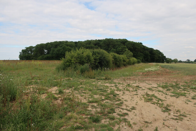
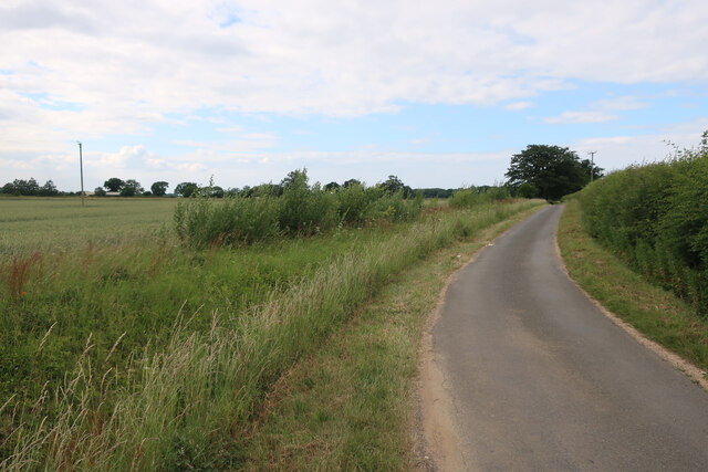
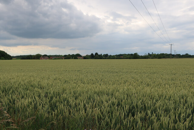
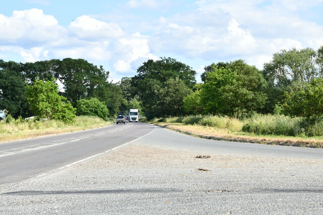
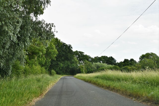
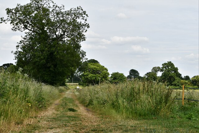
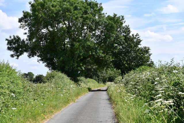
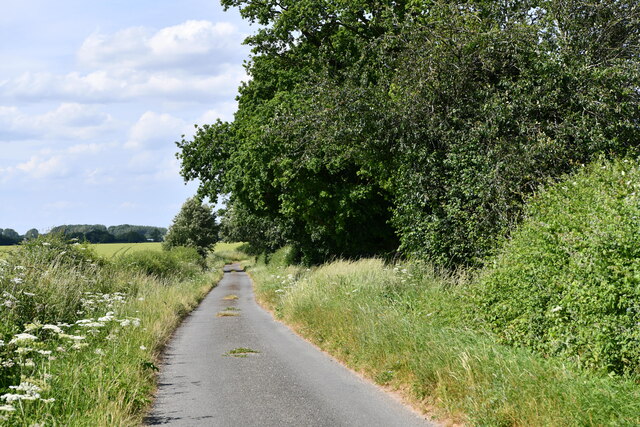
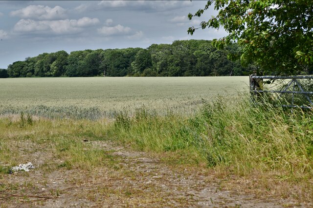
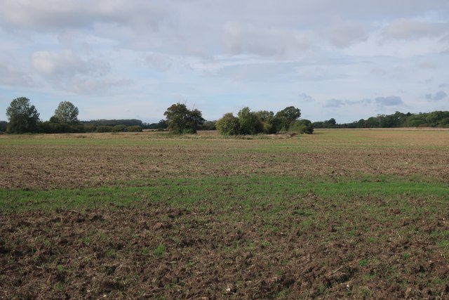
The village is surrounded by beautiful countryside, offering residents and visitors ample opportunities for outdoor activities such as walking, cycling, and exploring nature. The landscape is characterized by rolling fields, hedgerows, and quaint country lanes, making it an idyllic destination for those seeking a peaceful retreat.

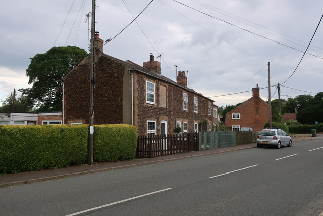
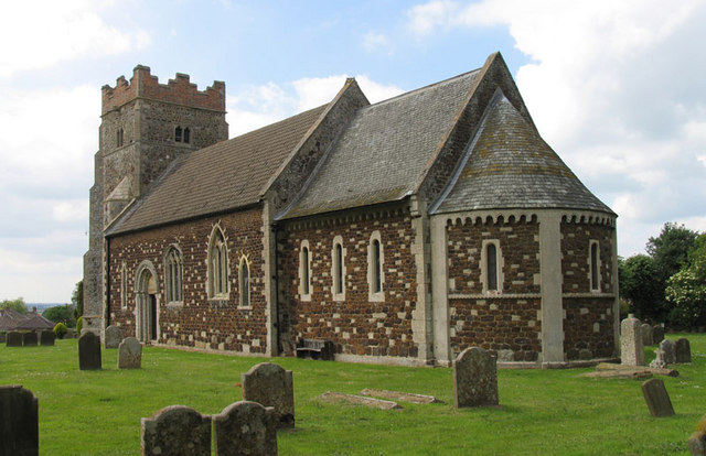
Crimplesham has a rich history, dating back to medieval times. The village is home to a number of historical buildings, including St. Mary's Church, which boasts stunning architecture and serves as a reminder of the area's heritage.

In terms of amenities, Crimplesham offers limited facilities within the village itself. However, nearby towns such as King's Lynn and Downham Market provide a wider range of services, including shops, supermarkets, schools, and healthcare facilities.

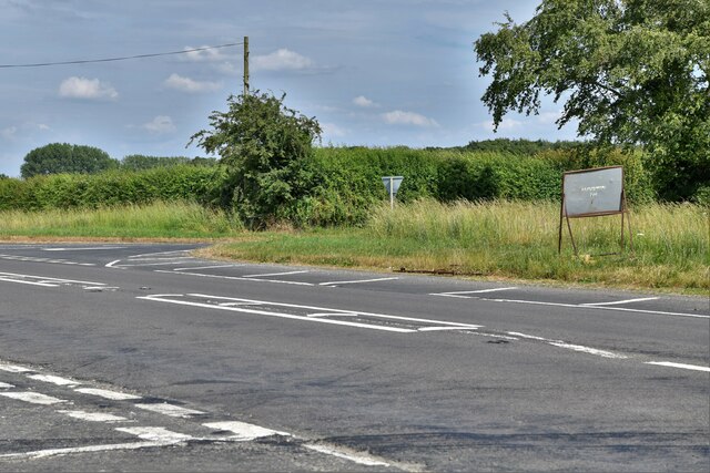
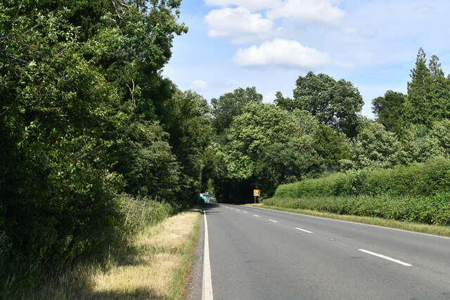
The village benefits from good transport links, with the A10 road passing nearby, providing easy access to surrounding towns and cities. Additionally, the village is well-connected by public transport, with regular bus services operating in the area.

Overall, Crimplesham is a charming village that offers a peaceful and rural lifestyle, making it an attractive place to live or visit for those seeking a slower pace of life in the heart of the Norfolk countryside.

If you have any feedback on the listing, please let us know in the comments section below.
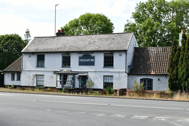
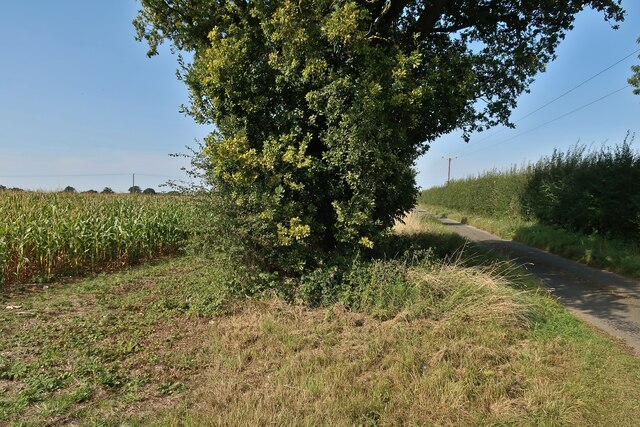
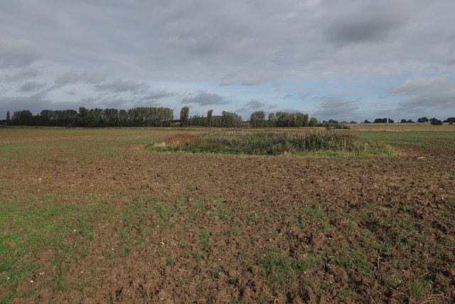
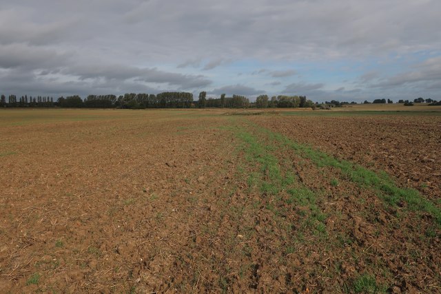
Crimplesham Images

Images are sourced within 2km of 52.606691/0.435811 or Grid Reference TF6503. Thanks to Geograph Open Source API. All images are credited.

Carrstone cottages in Crimplesham Typical building material in the area.
Carrstone cottages in Crimplesham
Typical building material in the area.
Wood by Willow Heath Road
Willow Heath Road
Willow Heath Road
Wheat field by Willow Heath Road
Crimplesham: Where Main Road joins the A134
Stow Bardolph: Fincham Road
Stow Bardolph, Fincham Road: Track
Crimplesham: Stow Barn Road
Crimplesham: Downham Road
Crimplesham: Crop with Crimplesham Wood beyond
Stradsett: A1122 with Foxburrow Plantation and Rose's Wood On the left and right of the photo respectively.
Stradsett: A1122 with Foxburrow Plantation and Rose's Wood
On the left and right of the photo respectively.
Stradsett: The Foldgate Inn
Tree and maize by Mill Lane
Path across a field Past a small pond in the field.
Path across a field
Past a small pond in the field.
Outdoor pigs by A134
Footpath across a field
Field west of West Dereham
Show me another place!

Crimplesham is located at Grid Ref: TF6503 (Lat: 52.606691, Lng: 0.435811)

Administrative County: Norfolk

District: King's Lynn and West Norfolk

Police Authority: Norfolk

What 3 Words

///embodied.resurgent.predict. Near Downham Market, Norfolk

Nearby Locations

Crimplesham

Related Wikis

Crimplesham

Crimplesham is a village and civil parish in the English county of Norfolk. It is situated 2.5 miles (4.0 km) east of the small town of Downham Market...

RAF Downham Market

Royal Air Force Downham Market, or more simply RAF Downham Market, was a Royal Air Force station in the west of the county of Norfolk, England which operated...

Stradsett

Stradsett is a village and civil parish in the English county of Norfolk The village is 40.8 miles (65.7 km) west of Norwich, 11.3 miles (18.2 km) south...

Bexwell

Bexwell is a small village and former civil parish near Downham Market, now in the parish of Ryston, in the King's Lynn and West Norfolk district, in the...

West Dereham

West Dereham is a village and civil parish in the English county of Norfolk. It covers an area of 13.51 km2 (5.22 sq mi) and had a population of 450 at...

Downham Rural District

Downham Rural District was a rural district in Norfolk, England from 1894 to 1974.It was formed under the Local Government Act 1894 based on the Downham...

Stow Bardolph

Stow Bardolph, sometimes simply referred to as Stow, is an estate and civil parish in the English county of Norfolk, lying between King's Lynn and Downham...

Wimbotsham

Wimbotsham is a village and civil parish in the English county of Norfolk. It is situated close to the River Great Ouse, 2 km (1.2 mi) north of the town...

Nearby Amenities

Located within 500m of 52.606691,0.435811
Crimplesham
Is In: Norfolk, England
Place: village
Lat/Long: 52.6074843/0.4393948
Bus Stop
Market Way, opp
Bus: yes
Naptan AtcoCode: 2900C341
Naptan Bearing: SE
Naptan BusStopType: CUS
Naptan CommonName: Market Way
Naptan Indicator: opp
Naptan Landmark: Market Way
Naptan Locality: Crimplesham
Naptan NaptanCode: nfoajwpm
Naptan Street: Main Road
Naptan Verified: no
Public Transport: platform
Source: naptan_import
Lat/Long: 52.607292/0.4339393
Bus Stop
Main Road, adj
Bus: yes
Naptan AtcoCode: 2900C343
Naptan Bearing: SW
Naptan BusStopType: CUS
Naptan CommonName: Main Road
Naptan Indicator: adj
Naptan Landmark: Main Road
Naptan Locality: Crimplesham
Naptan NaptanCode: nfoajwpt
Naptan Street: Downham Road
Naptan Verified: no
Public Transport: platform
Source: naptan_import
Lat/Long: 52.609406/0.4308364
Bus Stop
Market Way, adj
Bus: yes
Naptan AtcoCode: 2900C344
Naptan Bearing: NW
Naptan CommonName: Market Way
Naptan Indicator: adj
Naptan Landmark: village sign
Naptan Locality: Crimplesham
Naptan NaptanCode: nfoajwpw
Naptan Street: Main Road
Naptan Verified: no
Public Transport: platform
Source: naptan_import
Lat/Long: 52.6071492/0.4338871
Bus Stop
Main Road, opp
Bus: yes
Naptan AtcoCode: 2900C345
Naptan Bearing: NE
Naptan BusStopType: CUS
Naptan CommonName: Main Road
Naptan Indicator: opp
Naptan Landmark: Main Road
Naptan Locality: Crimplesham
Naptan NaptanCode: nfoajwta
Naptan Street: Downham Road
Naptan Verified: no
Public Transport: platform
Source: naptan_import
Lat/Long: 52.609483/0.4305896
Post Box
Post Box Mounting: concrete_post
Post Box Type: lamp
Ref: PE33 400
Royal Cypher: EIIR
Royal Cypher Wikidata: Q33102113
Lat/Long: 52.6064847/0.4404099
Telephone
Booth: KX100
Covered: booth
Lat/Long: 52.6064878/0.4401822
Power: pole
Lat/Long: 52.6102961/0.4342442
Power: pole
Lat/Long: 52.6095318/0.4356039
Power: pole
Lat/Long: 52.6089573/0.436626
Power: pole
Lat/Long: 52.6084143/0.4415035
Power: pole
Lat/Long: 52.6085615/0.4401809
Power: pole
Lat/Long: 52.608794/0.4380923
Entrance: main
Lat/Long: 52.606055/0.4430425
Crimplesham
Inscription: 25th EDP Norfolk Best Kept Village Competition / 1990 / Winner, villages under 500 population / E.D.P. Norfolk Best Kept Village Competition / 1993 / Winner, villages under 500 population
Man Made: village_sign
Material: wood
Lat/Long: 52.6073124/0.4339472
Give Way
Lat/Long: 52.6071337/0.4340565
Addr City: King's Lynn
Addr Country: GB
Addr Postcode: PE33 9DX
Addr Suburb: Crimplesham
Building: yes
Lat/Long: 52.6068047/0.4365429
Bench
Backrest: yes
Inscription: Lest we forget.... / In memory of all those who died 1914 - 1918
Lat/Long: 52.6072729/0.4340123
The data included in this document is from www.openstreetmap.org. The data is made available under ODbL.

Have you been to Crimplesham?

Leave your review of Crimplesham below (or comments, questions and feedback).