Bathhouse Wood

Wood, Forest in Cheshire

England

Bathhouse Wood

Noah's Ark, Over Alderley
Noah's Ark, Over Alderley Credit: Colin Park

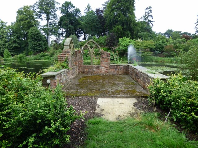
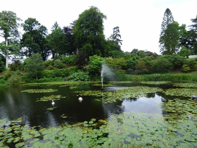
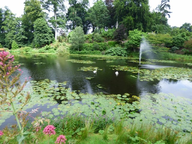
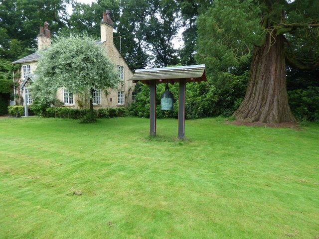
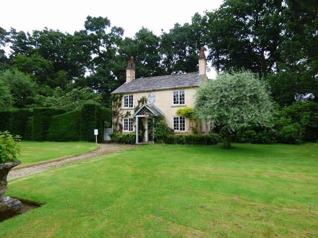
Bathhouse Wood is a picturesque forest located in the county of Cheshire, England. Covering an area of approximately 50 acres, this woodland is situated near the village of Batherton, just south of Nantwich. It is a popular destination for nature lovers, hikers, and those seeking tranquility amidst nature.

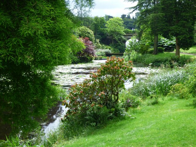
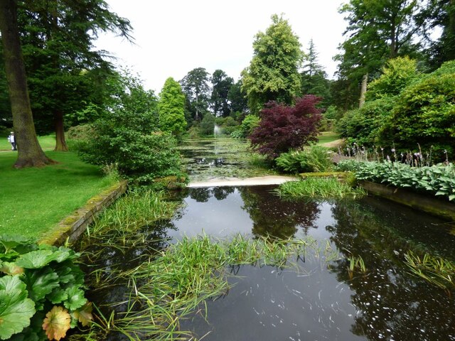
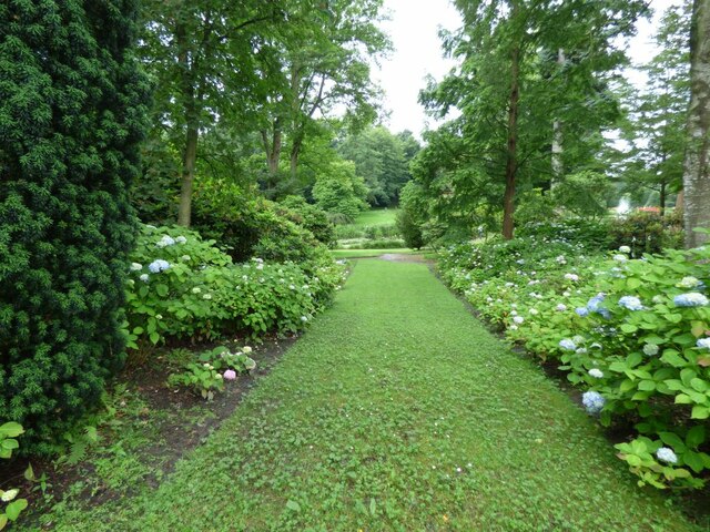
The wood is predominantly made up of native broadleaf trees, including oak, ash, and beech, which create a dense canopy overhead. The forest floor is adorned with an array of wildflowers, ferns, and mosses, providing a colorful and vibrant setting. Bathhouse Wood is also home to various wildlife species, such as deer, foxes, rabbits, and a diverse range of bird species, making it a haven for wildlife enthusiasts and birdwatchers.

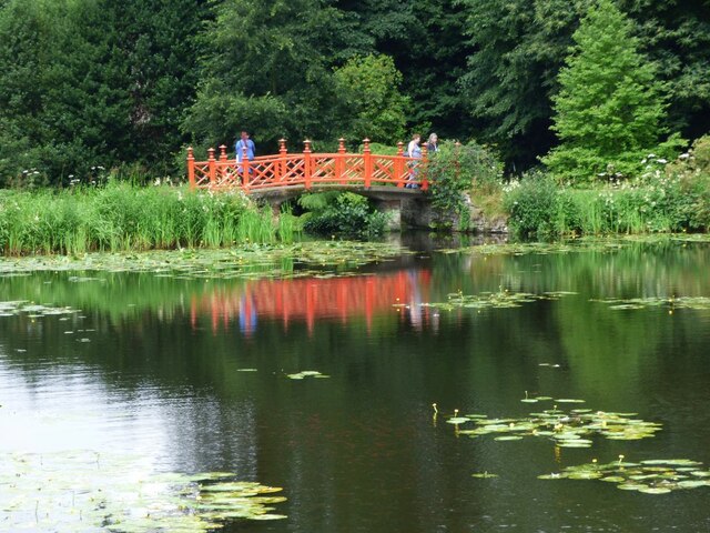
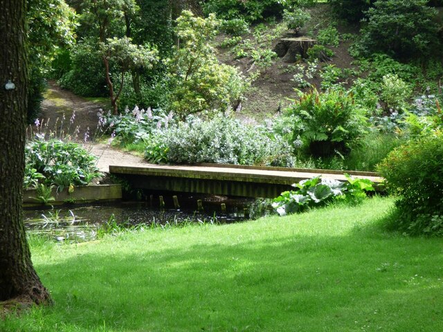
Tranquil walking trails wind through the wood, offering visitors an opportunity to explore its natural beauty. These paths are well-maintained and suitable for all ages and abilities. Along the way, one can come across a small stream that meanders through the forest, adding to the peaceful ambiance.

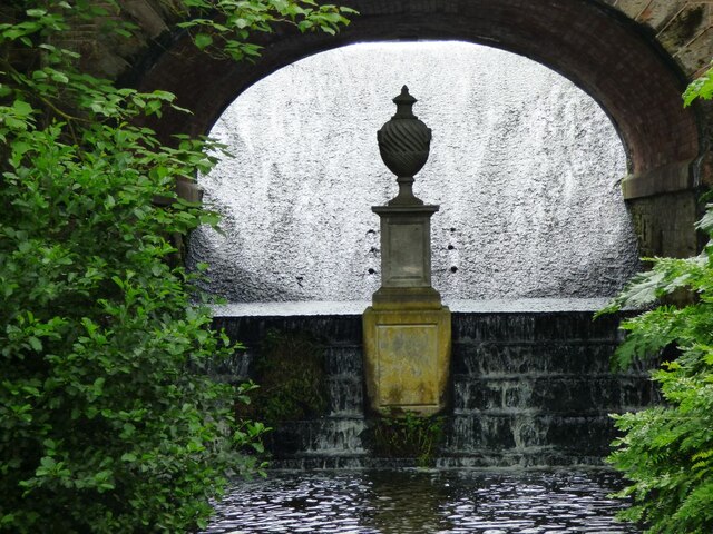
Bathhouse Wood holds historical significance as well. The name "Bathhouse" is believed to originate from a Roman bathhouse that once stood nearby. Archaeological evidence suggests that this area was once inhabited by the Romans, and remnants of their presence have been discovered in the vicinity.

Overall, Bathhouse Wood is a charming woodland that combines natural beauty, wildlife, and a touch of history. It provides a serene and inviting environment for visitors to escape the hustle and bustle of daily life and immerse themselves in the tranquility of nature.

If you have any feedback on the listing, please let us know in the comments section below.

Bathhouse Wood Images

Images are sourced within 2km of 53.263454/-2.2034441 or Grid Reference SJ8674. Thanks to Geograph Open Source API. All images are credited.

Noah's Ark, Over Alderley
Track at Noah's Ark, Over Alderley
Path running northwest from Birtles Lane, Over Alderley
Ruins at Henbury Hall Water runs down a swallow-hole pipe in the Upper Lake and runs under the dam and
powers a ram pump, housed in this Gothic folly with traceried church windows.
Ruins at Henbury Hall
Water runs down a swallow-hole pipe in the Upper Lake and runs under the dam and powers a ram pump, housed in this Gothic folly with traceried church windows.
View across the lake at Henbury Hall There is a red painted ornamental footbridge in the centre of the image.
View across the lake at Henbury Hall
There is a red painted ornamental footbridge in the centre of the image.
Fountain in the lake at Henbury Hall The gardens here are only open a few times in the year. The Hall is not open to the public.
Fountain in the lake at Henbury Hall
The gardens here are only open a few times in the year. The Hall is not open to the public.
Fountain in the lake at Henbury Hall View across the water to the far shore.
Fountain in the lake at Henbury Hall
View across the water to the far shore.
Ornamental Bridge across the lake Water birds and lilies on the lake.
Ornamental Bridge across the lake
Water birds and lilies on the lake.
Across the lake to the road into the Hall Below the road bridge is a wooden footbridge.
Across the lake to the road into the Hall
Below the road bridge is a wooden footbridge.
Wooden footbridge over the lake This is the narrowest section of the lake.
Wooden footbridge over the lake
This is the narrowest section of the lake.
View of the lake from a wooden footbridge The fountain is in the centre of the image.
View of the lake from a wooden footbridge
The fountain is in the centre of the image.
Under the bridge Urn under the arch of the bridge on the road in to Henbury Hall.
Under the bridge
Urn under the arch of the bridge on the road in to Henbury Hall.
Hydrangea border Path down to one of the lakes at Henbury Hall.
Hydrangea border
Path down to one of the lakes at Henbury Hall.
Bell outside a house Can find no references to this bell or the cottage.
Bell outside a house
Can find no references to this bell or the cottage.
Close up of a bell outside a cottage No reference to this bell.
Close up of a bell outside a cottage
No reference to this bell.
Cottage in the grounds of Henbury Hall The Garden Cottage at Henbury Hall. This charming two storey cottage is Grade II Listed.
Cottage in the grounds of Henbury Hall
The Garden Cottage at Henbury Hall. This charming two storey cottage is Grade II Listed.
Detail from the cottage in the grounds of Henbury Hall This coat of arms is above the door of the cottage.
Detail from the cottage in the grounds of Henbury Hall
This coat of arms is above the door of the cottage.
Show me another place!

Bathhouse Wood is located at Grid Ref: SJ8674 (Lat: 53.263454, Lng: -2.2034441)

Unitary Authority: Cheshire East

Police Authority: Cheshire

What 3 Words

///warthog.braked.tester. Near Siddington, Cheshire

Related Wikis

St Catherine's Church, Over Alderley

St Catherine's Church, Over Alderley, also known as St Catherine's Church, Birtles, stands in an isolated position in Birtles Lane, near to Birtles Hall...
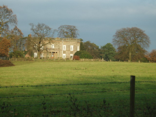
Birtles Hall

Birtles Hall is a country house in the parish of Over Alderley, Cheshire, England. It was built in about 1819 for the West Indies merchant Robert Hibbert...

Henbury Hall, Cheshire

Henbury Hall is a country house about 1 mile (1.6 km) southwest of the village of Henbury in Cheshire, England. The present house was built during the...

Whirley Hall

Whirley Hall is a country house standing to the north of the village of Henbury, Cheshire, England. The house dates from about 1670. Additions and alterations...

Henbury, Cheshire

Henbury is a village and civil parish in the unitary authority of Cheshire East and the ceremonial county of Cheshire, England. According to the 2001 census...

St Thomas' Church, Henbury

St Thomas' Church is in Church Lane in the village of Henbury, Cheshire, England. It is an active Anglican parish church in the deanery of Macclesfield...

Over Alderley

Over Alderley is a civil parish in Cheshire, England. It had a population of 318 at the 2011 Census.It includes the hamlets of Adders Moss, Adshead Green...

Henbury High School

Henbury High School was a comprehensive school for girls and boys aged 11 – 18 in Macclesfield, Cheshire, England, established in 1958. Henbury High closed...

Related Videos

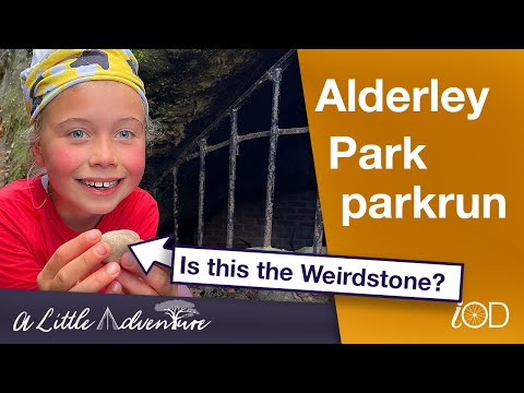
Alderley Park parkrun tourism & exploring Weirdstone of Brisingamen country

A North West parkrun Tourist meetup took us to Alderley Park parkrun for Iona's 74th parkrun and venue. It was an area I was ...

Joe whites funfair vlog Alderley Edge 20/05/23

Hello everyone welcome back to another funfair vlog on the channel from Alderley Edge it's another new ground for me so I was ...

Nearby Amenities

Located within 500m of 53.263454,-2.2034441
Bus Stop
Henbury, Chelford Road / Whirley Lane
Bus: yes
Naptan AtcoCode: 0600MA6146
Naptan Bearing: E
Naptan CommonName: Whirley Lane
Naptan Crossing: Whirley Lane
Naptan Indicator: cnr
Naptan Landmark: Near Pale Lodge
Naptan LocalityName: Henbury
Naptan NaptanCode: cheptma
Naptan ShortCommonName: Whirley Lane
Naptan Street: Chelford Road
Naptan Verified: no
Network: Cheshire East Council
Operator: Ansa Transport
Public Transport: platform
Source: naptan_import
Lat/Long: 53.2609521/-2.2052036
Power: tower
Lat/Long: 53.2592787/-2.2033598
Bus Stop
Henbury, Chelford Road / Whirley Lane
Bus: yes
Naptan AtcoCode: 0600MA19130
Naptan Bearing: W
Naptan BusStopType: CUS
Naptan CommonName: Whirley Lane
Naptan Crossing: Whirley Lane
Naptan Indicator: opp
Naptan Landmark: Whirley Lane
Naptan LocalityName: Henbury
Naptan NaptanCode: cheadmdp
Naptan ShortCommonName: Whirley Lane
Naptan Street: Chelford Road
Network: Cheshire East Council
Operator: Ansa Transport
Public Transport: platform
Source: naptan_import
Lat/Long: 53.2608465/-2.2052141
The data included in this document is from www.openstreetmap.org. The data is made available under ODbL.

Have you been to Bathhouse Wood?

Leave your review of Bathhouse Wood below (or comments, questions and feedback).