Cocktails Gorse

Wood, Forest in Staffordshire Stafford

England

Cocktails Gorse

Lavender Close Bungalows and back gardens on Lavender Close, Great Bridgeford, Stafford.
Lavender Close Credit: Ajay Tegala

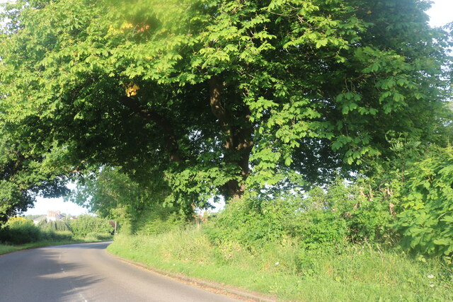
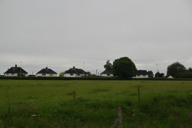
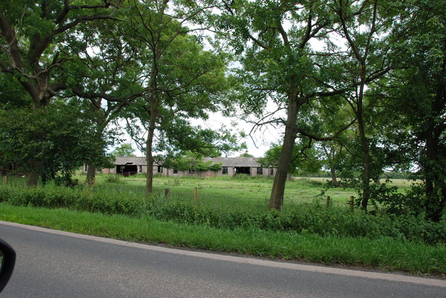
Cocktails Gorse is a picturesque woodland area located in Staffordshire, England. Situated within the heart of the county, this stunning forest is a haven for nature enthusiasts and outdoor adventurers alike.

Covering an extensive area, Cocktails Gorse is characterized by its dense foliage, towering trees, and a diverse range of flora and fauna. The wood is primarily composed of native species such as oak, birch, and beech, which provide a rich and vibrant habitat for a variety of wildlife. Visitors can expect to encounter species such as rabbits, deer, and a plethora of birdlife, making it a popular spot for birdwatching enthusiasts.

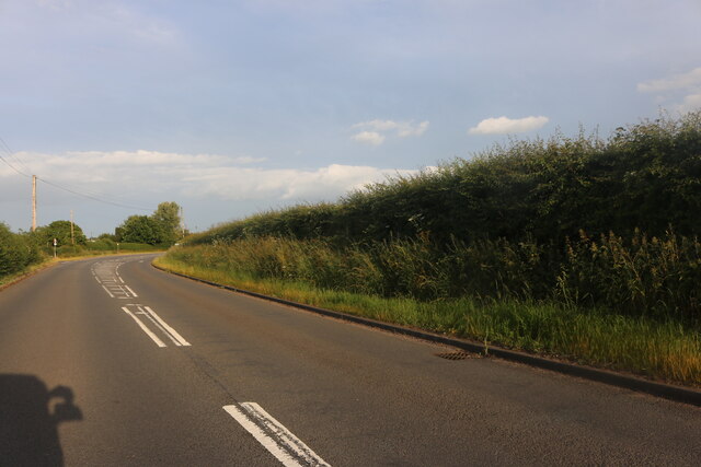
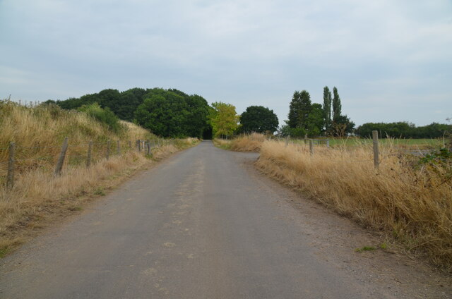
The forest is crisscrossed by a network of walking trails, allowing visitors to explore the natural beauty at their own pace. These well-maintained paths provide an opportunity to immerse oneself in the tranquility of the wood, while also offering glimpses of scenic vistas and charming clearings.

Cocktails Gorse also boasts a range of amenities to cater to visitors. These include picnic areas, benches, and strategically placed viewpoints that offer breathtaking panoramas of the surrounding landscape. For those seeking a more immersive experience, camping facilities are available, allowing visitors to spend the night under the starry skies and wake up to the symphony of nature.

Overall, Cocktails Gorse is a hidden gem in Staffordshire, offering a serene and natural escape from the hustle and bustle of everyday life. Whether you are an avid hiker, a nature lover, or simply someone looking for a peaceful retreat, this enchanting woodland is sure to leave a lasting impression.

If you have any feedback on the listing, please let us know in the comments section below.

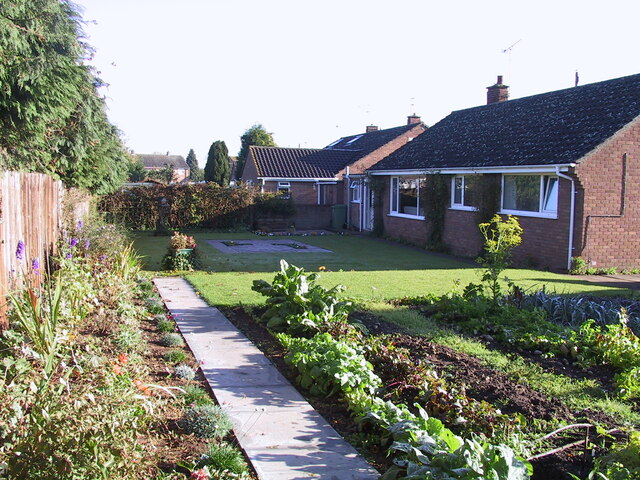
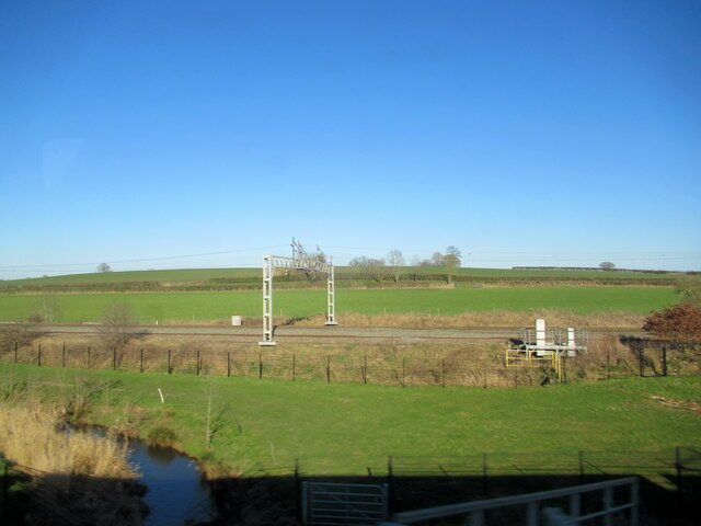
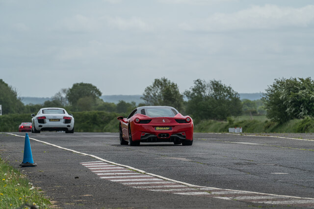
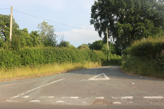
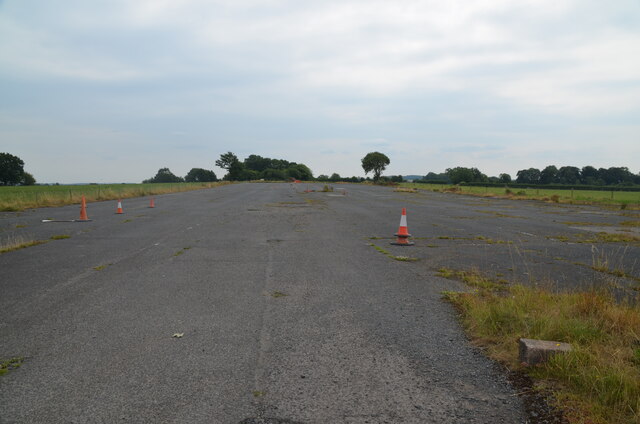
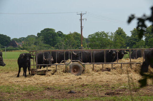
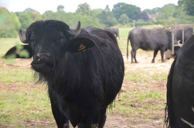
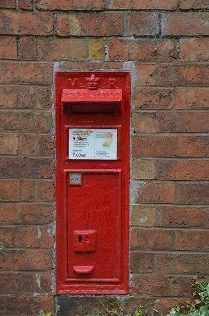
Cocktails Gorse Images

Images are sourced within 2km of 52.834641/-2.2015361 or Grid Reference SJ8626. Thanks to Geograph Open Source API. All images are credited.

Lavender Close Bungalows and back gardens on Lavender Close, Great Bridgeford, Stafford.
Lavender Close
Bungalows and back gardens on Lavender Close, Great Bridgeford, Stafford.
The River Sow at Little Bridgeford railway junction
Former RAF Seighford  / 6th Gear Car Driving Experience, Seighford Built in 1942 as a satellite/relief landing ground for RAF Hixon, 7.5 miles (12.1 km) to the east. It is currently used as a car driving experience day. I was there to lap in an Audi R8 / Aston Martin Vantage V8 Roadster / Lamborghini Gallardo LP570-4 Superleggera.. Good fun :)
Former RAF Seighford / 6th Gear Car Driving Experience, Seighford
Built in 1942 as a satellite/relief landing ground for RAF Hixon, 7.5 miles (12.1 km) to the east. It is currently used as a car driving experience day. I was there to lap in an Audi R8 / Aston Martin Vantage V8 Roadster / Lamborghini Gallardo LP570-4 Superleggera.. Good fun :)
Waltonhurst Road, Walton
Eccleshall Road, Walton
Eccleshall Road, Great Bridgeford
Houses on Eccleshall Road, Great Bridgeford
Road crossing end of Seighford Airfield disused runway Clanford Lane near Seighford crossing the south-west end of the former RAF Airfield runway. Tarmac covers the original concrete slabs of the runway and their outline can be seen in the tarmac. On the left, hidden from view by an earth bank, is the main part of the runway, which is used for driving experiences in top-of-the-range cars.
Road crossing end of Seighford Airfield disused runway
Clanford Lane near Seighford crossing the south-west end of the former RAF Airfield runway. Tarmac covers the original concrete slabs of the runway and their outline can be seen in the tarmac. On the left, hidden from view by an earth bank, is the main part of the runway, which is used for driving experiences in top-of-the-range cars.
Disused runway of Seighford airfield, Staffordshire Looking south-west to the end of the runway. The outline of the original concrete slabs making up the runway can be seen in the pattern of weeds and raised parts of the surface (or by looking on Google Earth). This part was used for HGV (trucks) and PSV (buses and coaches) training. There were portable offices on-site. All that remains are some abandoned traffic cones
Disused runway of Seighford airfield, Staffordshire
Looking south-west to the end of the runway. The outline of the original concrete slabs making up the runway can be seen in the pattern of weeds and raised parts of the surface (or by looking on Google Earth). This part was used for HGV (trucks) and PSV (buses and coaches) training. There were portable offices on-site. All that remains are some abandoned traffic cones
Buffalo in field off the Combers, Seighford, Stafford An unusual feature of the British countryside. The buffalo are raised by Beeches Farm, Seighford. The milk, along with buffalo steak, is sold locally.
Buffalo in field off the Combers, Seighford, Stafford
An unusual feature of the British countryside. The buffalo are raised by Beeches Farm, Seighford. The milk, along with buffalo steak, is sold locally.
Buffalo close up One young buffalo comes forward to investigate the photographer. An unusual feature of the British countryside. The buffalo are raised by Beeches Farm, Seighford. The milk, along with buffalo steak, is sold locally.
Buffalo close up
One young buffalo comes forward to investigate the photographer. An unusual feature of the British countryside. The buffalo are raised by Beeches Farm, Seighford. The milk, along with buffalo steak, is sold locally.
Victorian wall-mounted postbox, Seighford near Stafford A Victorian wall-mounted postbox on Clanford Road, Seighford near Stafford.
Victorian wall-mounted postbox, Seighford near Stafford
A Victorian wall-mounted postbox on Clanford Road, Seighford near Stafford.
Houses, Eccleshall Rd
B5405 near to Seighford RAF Base
Derelict Huts From WW2 These huts and others are all that is left of RAF Seighford, a second world war Bomber Airfield, home to the RAF 30 operational training unit. Part of the control tower can still be seen. The base closed in 1947.
Derelict Huts From WW2
These huts and others are all that is left of RAF Seighford, a second world war Bomber Airfield, home to the RAF 30 operational training unit. Part of the control tower can still be seen. The base closed in 1947.
Winter Fodder Storage for Animals Silage is cut grass that is compacted to get all the air out, covered with polythene and car tyres to protect it from the elements, it will then keep for months, until it is needed in the winter.
Winter Fodder Storage for Animals
Silage is cut grass that is compacted to get all the air out, covered with polythene and car tyres to protect it from the elements, it will then keep for months, until it is needed in the winter.
Delorean Car and Seighford Hall The owner of this Delorean car had just bought it and was photographing it in front of the now Derelict Seighford Hall. It was too good an opportunity to miss, so out came the camera, the owner said it was ok to use the pictures as long as I blanked out the plate. Seighford Hall is late 15th century with three gables but has large additions from the Victorian period. At the present time it stands empty, which is a great shame for such a superb building.
Delorean Car and Seighford Hall
The owner of this Delorean car had just bought it and was photographing it in front of the now Derelict Seighford Hall. It was too good an opportunity to miss, so out came the camera, the owner said it was ok to use the pictures as long as I blanked out the plate. Seighford Hall is late 15th century with three gables but has large additions from the Victorian period. At the present time it stands empty, which is a great shame for such a superb building.
Great Bridgeford Village Hall The village hall has a large range of activities from Life painting and drawing to over 60's club.
Great Bridgeford Village Hall
The village hall has a large range of activities from Life painting and drawing to over 60's club.
Show me another place!

Cocktails Gorse is located at Grid Ref: SJ8626 (Lat: 52.834641, Lng: -2.2015361)

Administrative County: Staffordshire

District: Stafford

Police Authority: Staffordshire

What 3 Words

///steadier.dignitary.farmland. Near Eccleshall, Staffordshire

Related Wikis

Seighford Hall

Seighford Hall is a house that lies slightly to north-west of the core of Seighford, England. It appears to have later- 16th to early-17th origins but...

Great Bridgeford railway station

Great Bridgeford railway station served the village of Great Bridgeford, Staffordshire, England from 1837 to 1959 on the Stafford-Manchester line. ��2...

Ranton, Staffordshire

Ranton is a small hamlet in Staffordshire, England, situated 3.5 miles (5.6 km) west of Stafford, 2.5 miles (4.0 km) east of Woodseaves and 2 miles (3...
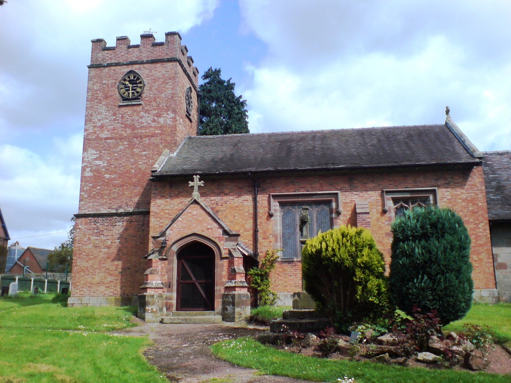
Ellenhall

Ellenhall is a small Staffordshire village roughly 2.5 miles south of Eccleshall originally comprising part of the extensive estates of the Earl of Lichfield...

Seighford

Seighford ( SY-fərd) is a village and civil parish about 3 miles (5 km) west of Stafford in Staffordshire, England. The population of this civil parish...
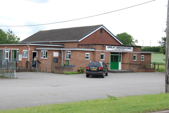
Great Bridgeford

Great Bridgeford is a village in the Borough of Stafford, Staffordshire, England, and a ward of Seighford civil parish. Population details taken at the...

Chebsey

Chebsey is a small village in Staffordshire 2.5 miles southeast of Eccleshall on a confluence of Eccleshall water and the River Sow some 5 miles northwest...

Walton Hall Academy

Walton Hall Academy (formerly Walton Hall Community Special School) is a mixed special school of approximately 150 pupils. The school is based in Eccleshall...

Nearby Amenities

Located within 500m of 52.834641,-2.2015361
Bus Stop
Ladford Pool Farm
Bus: yes
Naptan AtcoCode: 3800C705700
Naptan Bearing: SE
Naptan CommonName: Ladford Pool Farm
Naptan Indicator: Adj
Naptan Landmark: Ladford Pool Farm
Naptan Street: Industrial Est
Naptan Verified: no
Public Transport: platform
Source: naptan_import
Lat/Long: 52.8343831/-2.2068077
Bus Stop
Airfield Industrial Estate
Bus: yes
Naptan AtcoCode: 3800C718800
Naptan Bearing: SW
Naptan CommonName: Airfield Industrial Estate
Naptan Indicator: Opp
Naptan Landmark: Airfield Ind Est
Naptan Street: Newport Rd
Naptan Verified: no
Public Transport: platform
Source: naptan_import
Lat/Long: 52.8308812/-2.2044607
Bus Stop
Airfield Industrial Estate
Bus: yes
Naptan AtcoCode: 3800C718801
Naptan Bearing: NE
Naptan BusStopType: CUS
Naptan CommonName: Airfield Industrial Estate
Naptan Indicator: Adj
Naptan Landmark: Airfield Ind Est
Naptan Street: Newport Rd
Naptan Verified: no
Public Transport: platform
Source: naptan_import
Lat/Long: 52.8309078/-2.2046983
The data included in this document is from www.openstreetmap.org. The data is made available under ODbL.

Have you been to Cocktails Gorse?

Leave your review of Cocktails Gorse below (or comments, questions and feedback).