Burntheugh Covert

Wood, Forest in Northumberland

England

Burntheugh Covert

Bowmont Water Flowing east to join College Burn to become the River Glen.
Bowmont Water Credit: Russel Wills

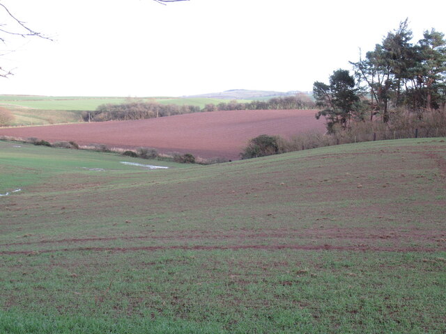
Burntheugh Covert is a woodland area located in the county of Northumberland, England. Spanning over a vast expanse of land, this covert is known for its rich variety of trees, making it a thriving forest ecosystem. The covert is situated near the village of Burntheugh, which is approximately 10 miles northwest of the town of Hexham.

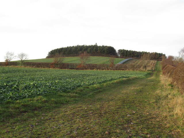
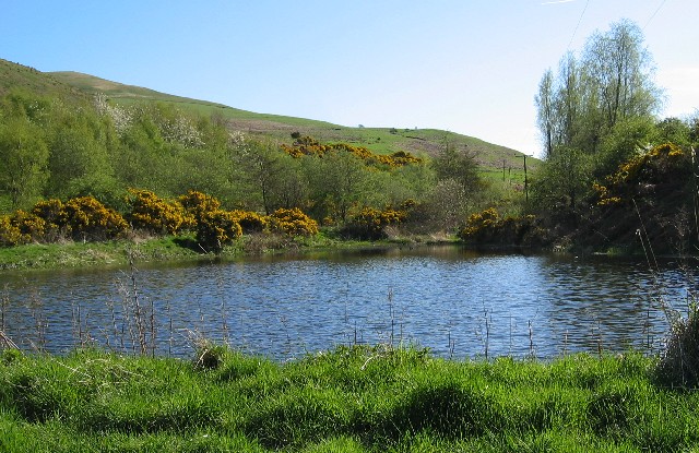
The woodland is dominated by a mix of deciduous and coniferous trees, including oak, beech, pine, and spruce. These trees provide a dense canopy, creating a sheltered environment for various flora and fauna. The forest floor is covered in a carpet of moss, ferns, and wildflowers, adding to the enchanting beauty of the area.

Burntheugh Covert is home to a diverse range of wildlife. The dense vegetation provides ample hiding places for smaller mammals such as foxes, badgers, and rabbits. Birdwatchers will be delighted to spot various species of birds, including woodpeckers, thrushes, and owls. In addition, the woodland is also inhabited by deer, which can often be seen grazing or resting in the peaceful surroundings.

The covert offers a tranquil escape for nature enthusiasts and walkers alike. There are well-maintained footpaths that wind through the forest, providing visitors with the opportunity to explore the area at their own pace. The woodland also has a picnic area, allowing visitors to relax and enjoy the serene atmosphere.

Overall, Burntheugh Covert is a picturesque woodland, teeming with diverse flora and fauna. Its natural beauty and peaceful ambiance make it a popular destination for those seeking solace in the heart of nature.

If you have any feedback on the listing, please let us know in the comments section below.

Burntheugh Covert Images

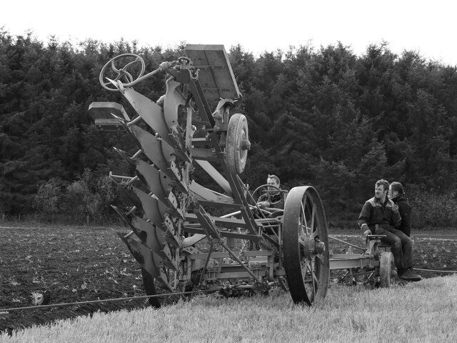
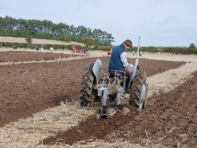
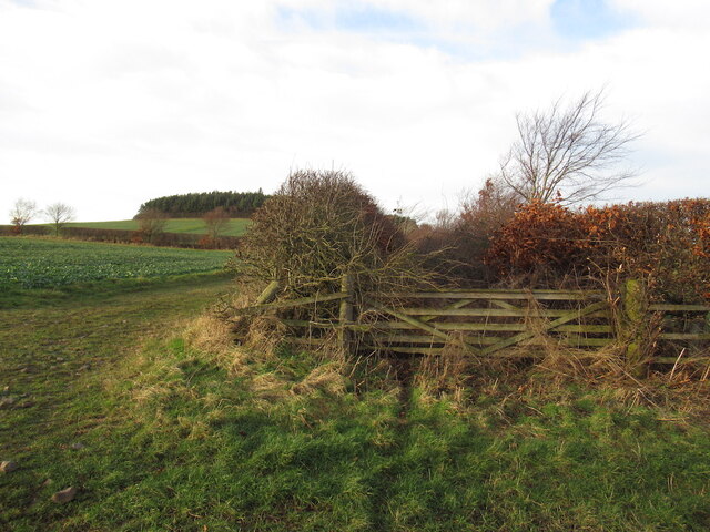
Images are sourced within 2km of 55.606671/-2.2163012 or Grid Reference NT8634. Thanks to Geograph Open Source API. All images are credited.

Bowmont Water Flowing east to join College Burn to become the River Glen.
Bowmont Water
Flowing east to join College Burn to become the River Glen.
Steam ploughing is such a drag! A demonstration of two Folwer BB1 steam engines with a six furrow balance plough made for a popular attraction at the Championships.

The 70th British National Ploughing Championships & Country Festival took place on the 9 and 10 October 2021 at Mindrum Mill, Mindrum, in Northumberland's Bowmont valley just over a mile from the Scottish border.  220 champion ploughmen and women from all over Britain competed.  Competitions for many types of plough and styles of ploughing climaxed when the Supreme Champion was chosen and the top ploughmen were selected to represent England at the 2022 World Ploughing Contest, European Reversible Ploughing Championships and the European Vintage Ploughing Championships.

This photograph was taken during the Coronavirus (COVID-19) pandemic of 2020/21.
Steam ploughing is such a drag!
A demonstration of two Folwer BB1 steam engines with a six furrow balance plough made for a popular attraction at the Championships. The 70th British National Ploughing Championships & Country Festival took place on the 9 and 10 October 2021 at Mindrum Mill, Mindrum, in Northumberland's Bowmont valley just over a mile from the Scottish border. 220 champion ploughmen and women from all over Britain competed. Competitions for many types of plough and styles of ploughing climaxed when the Supreme Champion was chosen and the top ploughmen were selected to represent England at the 2022 World Ploughing Contest, European Reversible Ploughing Championships and the European Vintage Ploughing Championships. This photograph was taken during the Coronavirus (COVID-19) pandemic of 2020/21.
Ploughing another six furrows The Fowler steam engine and six furrow balance plough demonstration at Mindrum Mill. 

The 70th British National Ploughing Championships & Country Festival took place on the 9 and 10 October 2021 at Mindrum Mill, Mindrum, in Northumberland's Bowmont valley just over a mile from the Scottish border.  220 champion ploughmen and women from all over Britain competed.  Competitions for many types of plough and styles of ploughing climaxed when the Supreme Champion was chosen and the top ploughmen were selected to represent England at the 2022 World Ploughing Contest, European Reversible Ploughing Championships and the European Vintage Ploughing Championships.

This photograph was taken during the Coronavirus (COVID-19) pandemic of 2020/21.
Ploughing another six furrows
The Fowler steam engine and six furrow balance plough demonstration at Mindrum Mill. The 70th British National Ploughing Championships & Country Festival took place on the 9 and 10 October 2021 at Mindrum Mill, Mindrum, in Northumberland's Bowmont valley just over a mile from the Scottish border. 220 champion ploughmen and women from all over Britain competed. Competitions for many types of plough and styles of ploughing climaxed when the Supreme Champion was chosen and the top ploughmen were selected to represent England at the 2022 World Ploughing Contest, European Reversible Ploughing Championships and the European Vintage Ploughing Championships. This photograph was taken during the Coronavirus (COVID-19) pandemic of 2020/21.
A 'little grey Fergie' and two furrow plough A Ferguson TE20 turning over another two furrows in oil seed rape stubble at the Championships.

The 70th British National Ploughing Championships & Country Festival took place on the 9 and 10 October 2021 at Mindrum Mill, Mindrum, in Northumberland's Bowmont valley just over a mile from the Scottish border.  220 champion ploughmen and women from all over Britain competed.  Competitions for many types of plough and styles of ploughing climaxed when the Supreme Champion was chosen and the top ploughmen were selected to represent England at the 2022 World Ploughing Contest, European Reversible Ploughing Championships and the European Vintage Ploughing Championships.

This photograph was taken during the Coronavirus (COVID-19) pandemic of 2020/21.
A 'little grey Fergie' and two furrow plough
A Ferguson TE20 turning over another two furrows in oil seed rape stubble at the Championships. The 70th British National Ploughing Championships & Country Festival took place on the 9 and 10 October 2021 at Mindrum Mill, Mindrum, in Northumberland's Bowmont valley just over a mile from the Scottish border. 220 champion ploughmen and women from all over Britain competed. Competitions for many types of plough and styles of ploughing climaxed when the Supreme Champion was chosen and the top ploughmen were selected to represent England at the 2022 World Ploughing Contest, European Reversible Ploughing Championships and the European Vintage Ploughing Championships. This photograph was taken during the Coronavirus (COVID-19) pandemic of 2020/21.
Collected cylindrical bales near Hagg Taken 5 years after <a href="https://www.geograph.org.uk/photo/5219574">NT8535 : Uncollected cylindrical bales near Hagg</a>.  Not the same bales!
Collected cylindrical bales near Hagg
Taken 5 years after NT8535 : Uncollected cylindrical bales near Hagg. Not the same bales!
Overgrown road A densely vegetated space between two hedges on Blake Law
Overgrown road
A densely vegetated space between two hedges on Blake Law
Blake Law
Blake Law
Fields by the Duddo Burn A chainsaw could be heard from the woods to the right, there was a lot of clearing up being done after a storm the previous November.
Fields by the Duddo Burn
A chainsaw could be heard from the woods to the right, there was a lot of clearing up being done after a storm the previous November.
Bridge parapet remains in perilous condition by the Bowmont Water The remains of the parapet on the north-east side of the former girder bridge over the Bowmont Water south of Mindrum Station on the former Alnwick and Cornhill Railway.  The bridge was structure 13 at four miles and one chain from Cornhill where the mileage and structure numbering commenced.  With thanks to Andy Brown for the information on this site.

This photograph was taken during the Coronavirus (COVID-19) pandemic of 2020/21/22.
Bridge parapet remains in perilous condition by the Bowmont Water
The remains of the parapet on the north-east side of the former girder bridge over the Bowmont Water south of Mindrum Station on the former Alnwick and Cornhill Railway. The bridge was structure 13 at four miles and one chain from Cornhill where the mileage and structure numbering commenced. With thanks to Andy Brown for the information on this site. This photograph was taken during the Coronavirus (COVID-19) pandemic of 2020/21/22.
Bridge parapet remains by the Bowmont Water Looking to the south bank of the Bowmont Water and the girder bridge parapet remains.  The bridge was structure 13 at four miles and one chain from Cornhill where the mileage and structure numbering commenced.  With thanks to Andy Brown for the information on this site.

This photograph was taken during the Coronavirus (COVID-19) pandemic of 2020/21/22.
Bridge parapet remains by the Bowmont Water
Looking to the south bank of the Bowmont Water and the girder bridge parapet remains. The bridge was structure 13 at four miles and one chain from Cornhill where the mileage and structure numbering commenced. With thanks to Andy Brown for the information on this site. This photograph was taken during the Coronavirus (COVID-19) pandemic of 2020/21/22.
A small weir in the Bowmont Water This small weir, apparently partially constructed of wood, was once under a girder bridge which crossed the Bowmont Water on the route of the former Alnwick and Cornhill Railway line here.  The bridge was structure 13 at four miles and one chain from Cornhill where the mileage and structure numbering commenced.  With thanks to Andy Brown for the information on this site.

This photograph was taken during the Coronavirus (COVID-19) pandemic of 2020/21/22.
A small weir in the Bowmont Water
This small weir, apparently partially constructed of wood, was once under a girder bridge which crossed the Bowmont Water on the route of the former Alnwick and Cornhill Railway line here. The bridge was structure 13 at four miles and one chain from Cornhill where the mileage and structure numbering commenced. With thanks to Andy Brown for the information on this site. This photograph was taken during the Coronavirus (COVID-19) pandemic of 2020/21/22.
Gates by the former railway These gates would appear to date from when the Alnwick and Cornhill Railway was in operation and are beside the site of the former girder bridge which spanned the Bowmont Water here.  The bridge was structure 13 at four miles and one chain from Cornhill where the mileage and structure numbering commenced.  With thanks to Andy Brown for the information on this site.

This photograph was taken during the Coronavirus (COVID-19) pandemic of 2020/21/22.
Gates by the former railway
These gates would appear to date from when the Alnwick and Cornhill Railway was in operation and are beside the site of the former girder bridge which spanned the Bowmont Water here. The bridge was structure 13 at four miles and one chain from Cornhill where the mileage and structure numbering commenced. With thanks to Andy Brown for the information on this site. This photograph was taken during the Coronavirus (COVID-19) pandemic of 2020/21/22.
Bridge parapet remains by the Bowmont Water near Mindrum Station A view of the upstream faces of the bridge parapet remains either side of the Bowmont Water.  The bridge was structure 13 at four miles and one chain from Cornhill where the mileage and structure numbering commenced.  With thanks to Andy Brown for the information on this site.

This photograph was taken during the Coronavirus (COVID-19) pandemic of 2020/21/22.
Bridge parapet remains by the Bowmont Water near Mindrum Station
A view of the upstream faces of the bridge parapet remains either side of the Bowmont Water. The bridge was structure 13 at four miles and one chain from Cornhill where the mileage and structure numbering commenced. With thanks to Andy Brown for the information on this site. This photograph was taken during the Coronavirus (COVID-19) pandemic of 2020/21/22.
Embankment and bridge parapet remains by the Bowmont Water This photograph has been taken on the north side of the Bowmont Water.  The bridge was structure 13 at four miles and one chain from Cornhill where the mileage and structure numbering commenced.  With thanks to Andy Brown for the information on this site.

This photograph was taken during the Coronavirus (COVID-19) pandemic of 2020/21/22.
Embankment and bridge parapet remains by the Bowmont Water
This photograph has been taken on the north side of the Bowmont Water. The bridge was structure 13 at four miles and one chain from Cornhill where the mileage and structure numbering commenced. With thanks to Andy Brown for the information on this site. This photograph was taken during the Coronavirus (COVID-19) pandemic of 2020/21/22.
The remains of a railway embankment by the Bowmont Water south of Mindrum Station The embankment is accessed via a walk around the perimeter of an arable field.  

This photograph was taken during the Coronavirus (COVID-19) pandemic of 2020/21/22.
The remains of a railway embankment by the Bowmont Water south of Mindrum Station
The embankment is accessed via a walk around the perimeter of an arable field. This photograph was taken during the Coronavirus (COVID-19) pandemic of 2020/21/22.
Monylaws trig Looking NE from position
Monylaws trig
Looking NE from position
Bowmont Water Looking downstream (east) towards Housedon Hill ....
Move Upstream <a href="https://www.geograph.org.uk/photo/162387">NT8533 : Bowmont Water</a>
Move Downstream <a href="https://www.geograph.org.uk/photo/165340">NT8733 : Bowmont Water</a>
Bowmont Water
Looking downstream (east) towards Housedon Hill .... Move Upstream NT8533 : Bowmont Water Move Downstream NT8733 : Bowmont Water
Bowmont Water Looking upstream
Move Upstream <a href="https://www.geograph.org.uk/photo/162391">NT8633 : Bowmont Water</a>
Move Downstream <a href="https://www.geograph.org.uk/photo/165343">NT8832 : Bowmont Water</a>
Bowmont Water
Looking upstream Move Upstream NT8633 : Bowmont Water Move Downstream NT8832 : Bowmont Water
Show me another place!

Burntheugh Covert is located at Grid Ref: NT8634 (Lat: 55.606671, Lng: -2.2163012)

Unitary Authority: Northumberland

Police Authority: Northumbria

What 3 Words

///chuck.quitter.race. Near Coldstream, Scottish Borders

Nearby Locations

Burntheugh Covert

Related Wikis

Mindrum railway station

Mindrum railway station was a stone built railway station serving the hamlet of Mindrum and the surrounding villages in Northumberland. It was on the Alnwick...

Mindrum

Mindrum is a village in Northumberland, England, in the district of Berwick-upon-Tweed. Now little more than a postal address, it forms the centre of a...

Kilham, Northumberland

Kilham is a hamlet and civil parish in the English county of Northumberland, located 8.0 miles (12.9 km) west of Wooler, 12.0 miles (19.3 km) east of Kelso...

Howtel

Howtel is a village and former civil parish, now in the parish of Kilham, in Northumberland, England about 8 miles (13 km) northwest of Wooler. The name...

Have you been to Burntheugh Covert?

Leave your review of Burntheugh Covert below (or comments, questions and feedback).