The Park

Wood, Forest in Wiltshire

England

The Park

Field of oilseed rape at Upper Pertwood Bushes
Field of oilseed rape at Upper Pertwood Bushes Credit: Rod Allday

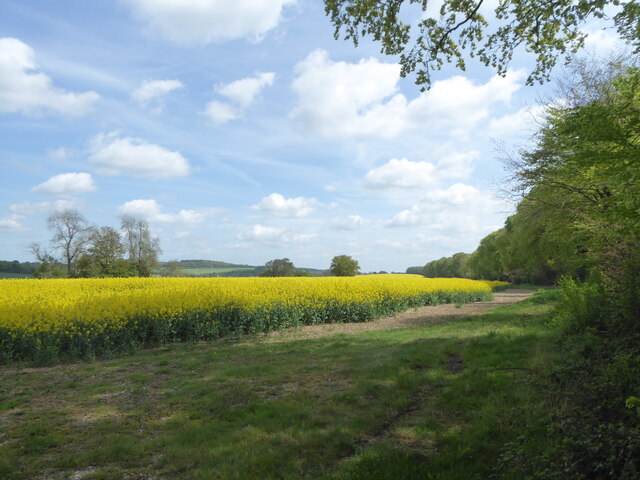
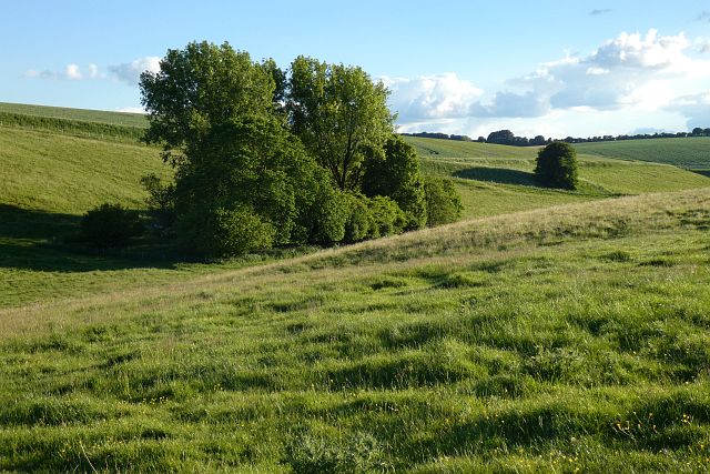
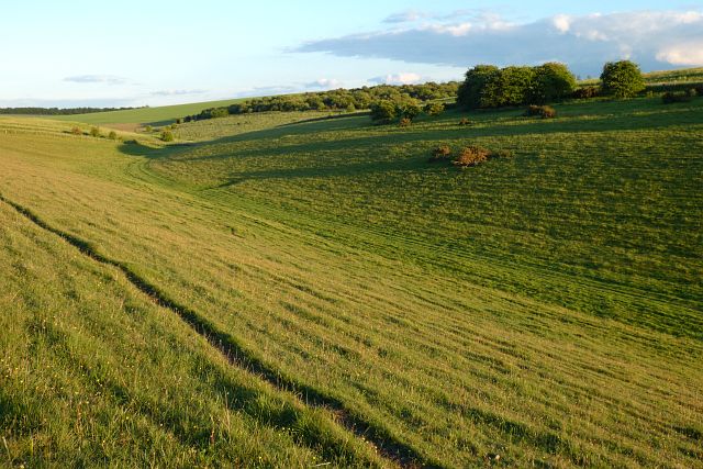
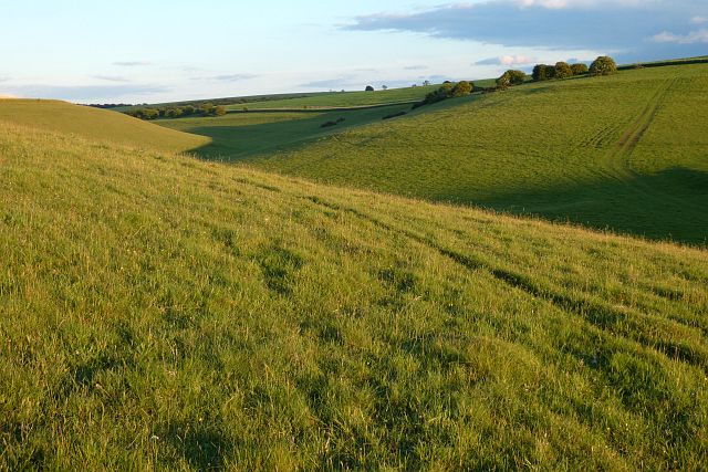
The Park in Wiltshire is a stunning woodland area located in the heart of the county. Covering over 1,000 acres, the park is home to a diverse range of flora and fauna, making it a haven for nature enthusiasts and wildlife lovers alike. The park is characterized by its dense forests, rolling hills, and tranquil streams, creating a peaceful and picturesque setting for visitors to explore.

Visitors to The Park can enjoy a variety of outdoor activities, including hiking, cycling, and birdwatching. The park is also home to several well-maintained walking trails, offering visitors the chance to immerse themselves in the natural beauty of the area. Additionally, The Park is home to a number of rare and endangered species, making it a popular spot for conservationists and researchers.

The Park is a popular destination for families, with plenty of space for picnics and outdoor games. The park also offers a range of facilities, including picnic areas, toilets, and a visitor center, making it an accessible and enjoyable destination for visitors of all ages. Whether you're looking to explore the great outdoors or simply relax in a beautiful natural setting, The Park in Wiltshire is a must-visit destination.

If you have any feedback on the listing, please let us know in the comments section below.

The Park Images

Images are sourced within 2km of 51.115711/-2.1948867 or Grid Reference ST8635. Thanks to Geograph Open Source API. All images are credited.

Field of oilseed rape at Upper Pertwood Bushes
Downland, Brixton Deverill A small copse stands at the foot of Pen Hill Down.
Downland, Brixton Deverill
A small copse stands at the foot of Pen Hill Down.
Farmland, Kingston Deverill Looking down over wheat from the road to Keysley Farm.
Farmland, Kingston Deverill
Looking down over wheat from the road to Keysley Farm.
Farmland, Kingston Deverill A landscape of large arable fields and copses to the east of Keysley Farm.
Farmland, Kingston Deverill
A landscape of large arable fields and copses to the east of Keysley Farm.
Downland, Kingston Deverill Access land and the upper reaches of a dry valley to the west of Keysley Farm.
Downland, Kingston Deverill
Access land and the upper reaches of a dry valley to the west of Keysley Farm.
Downland, Kingston Deverill Access land with evening shadows to the west of Keysley Farm.
Downland, Kingston Deverill
Access land with evening shadows to the west of Keysley Farm.
Farmland, Kingston Deverill Oil-seed rape and a copse in a very large field to the south-east of Keysley Farm.
Farmland, Kingston Deverill
Oil-seed rape and a copse in a very large field to the south-east of Keysley Farm.
Farmland, copses and road, Kingston Deverill The road from Keysley Farm is a restricted byway here heading towards the A303 through crops of wheat and oil-seed rape.
Farmland, copses and road, Kingston Deverill
The road from Keysley Farm is a restricted byway here heading towards the A303 through crops of wheat and oil-seed rape.
A303 from the Willoughby Hedge lay-by Looking uphill on one of the many single carriageway sections.
A303 from the Willoughby Hedge lay-by
Looking uphill on one of the many single carriageway sections.
Willoughby Hedge Cafe Small cafe on lay-by beside the A303.
Willoughby Hedge Cafe
Small cafe on lay-by beside the A303.
Brixton Deverill : Road A road off the A350 to Higher Pertwood.
Brixton Deverill : Road
A road off the A350 to Higher Pertwood.
Chicklade : Road A road off the A350.
Chicklade : Road
A road off the A350.
Chicklade : Farmland Looking across the fields from the A350.
Chicklade : Farmland
Looking across the fields from the A350.
Chicklade : Farmland Looking across the fields from the A350.
Chicklade : Farmland
Looking across the fields from the A350.
East Knoyle : Farmland From the A303 looking across the fields.
East Knoyle : Farmland
From the A303 looking across the fields.
Petrol station, Willoughby Hedge Services
A303, Willoughby Hedge
Little Chef Services on the A303 near Chicklade
Show me another place!

The Park is located at Grid Ref: ST8635 (Lat: 51.115711, Lng: -2.1948867)

Unitary Authority: Wiltshire

Police Authority: Wiltshire

What 3 Words

///streak.result.sizing. Near Chicklade, Wiltshire

Nearby Locations

The Park

Related Wikis

Pertwood

Pertwood is an ancient settlement and former civil parish, near Warminster in the county of Wiltshire in the west of England. Its land and houses now lie...

Monkton Deverill

Monkton Deverill (anciently known as East Monkton) is a village and former civil parish, now in the parish of Kingston Deverill, in Wiltshire, England...

Kingston Deverill

Kingston Deverill is a village and civil parish in Wiltshire, England. Its nearest towns are Mere, about 3+1⁄2 miles (6 km) to the southwest, and Warminster...

West Knoyle

West Knoyle is a small village and civil parish in southwest Wiltshire, England, close to the southern edge of Salisbury Plain. The village is about 2...

Have you been to The Park?

Leave your review of The Park below (or comments, questions and feedback).