Glebe Plantation
Wood, Forest in Northumberland
England
Glebe Plantation
The requested URL returned error: 429 Too Many Requests
If you have any feedback on the listing, please let us know in the comments section below.
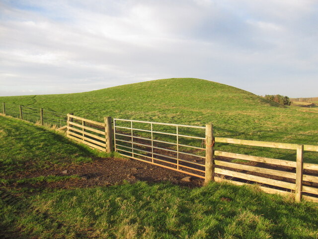
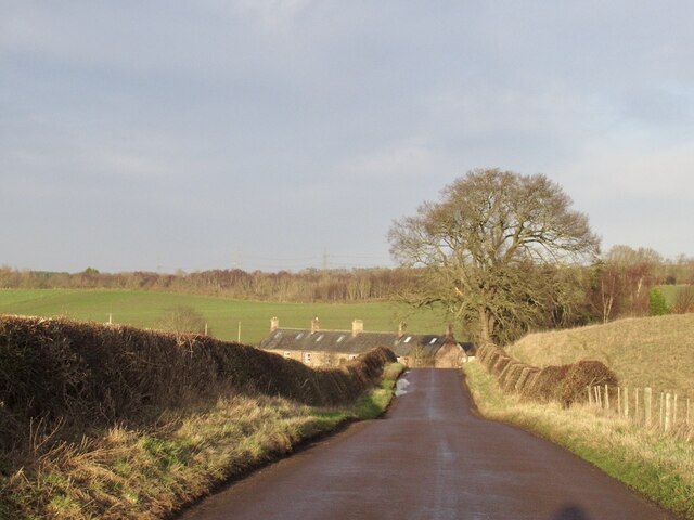
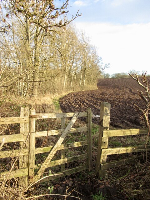
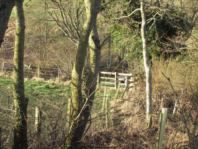
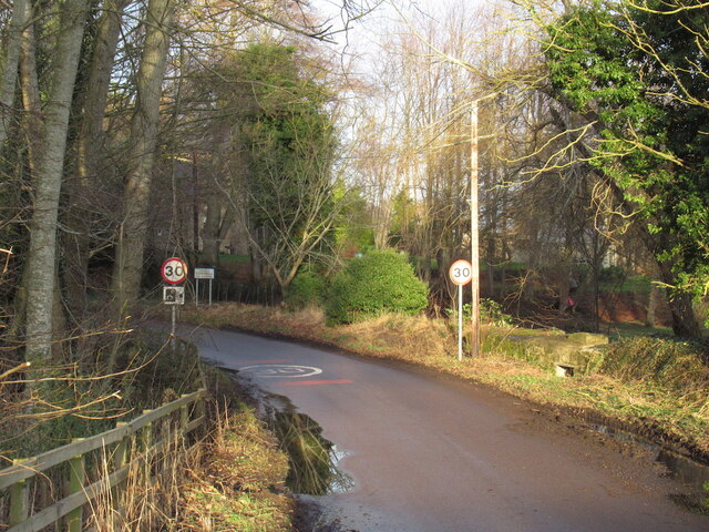
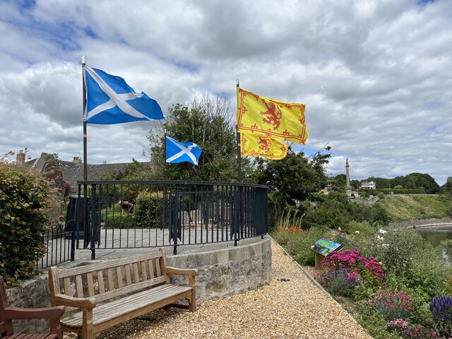
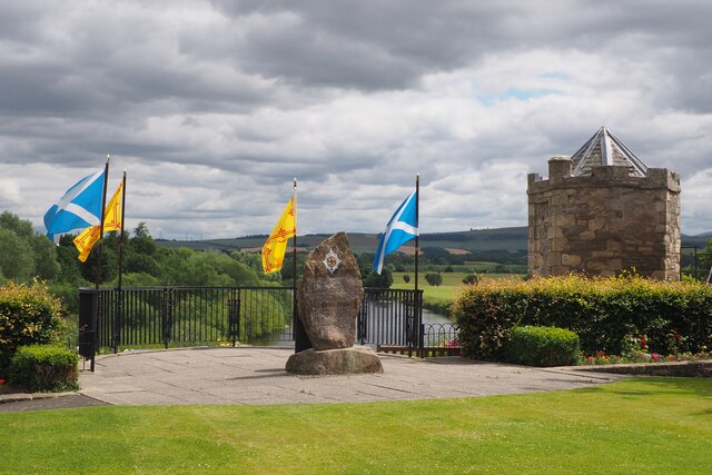
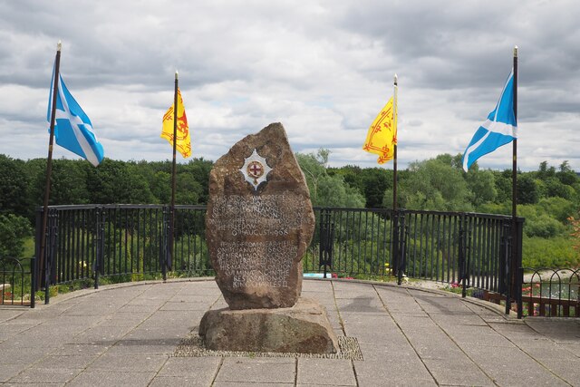
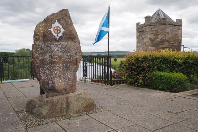
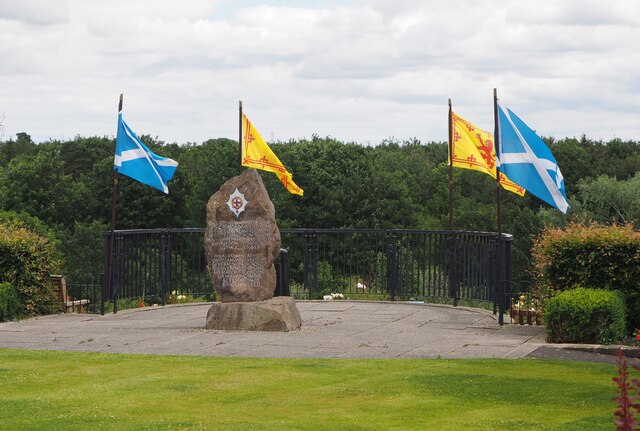
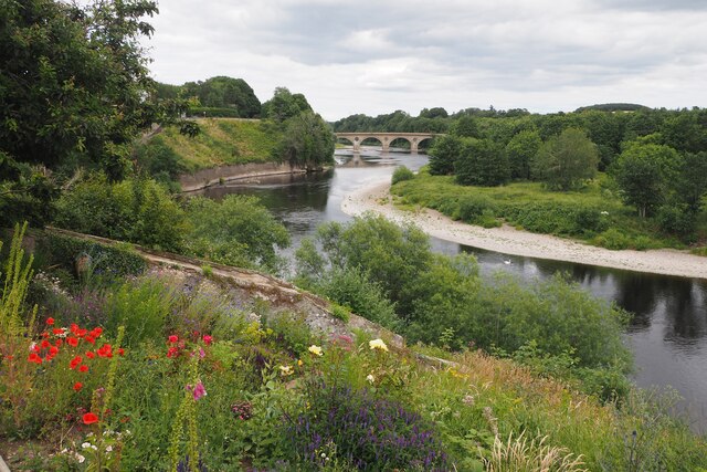
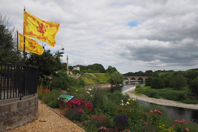
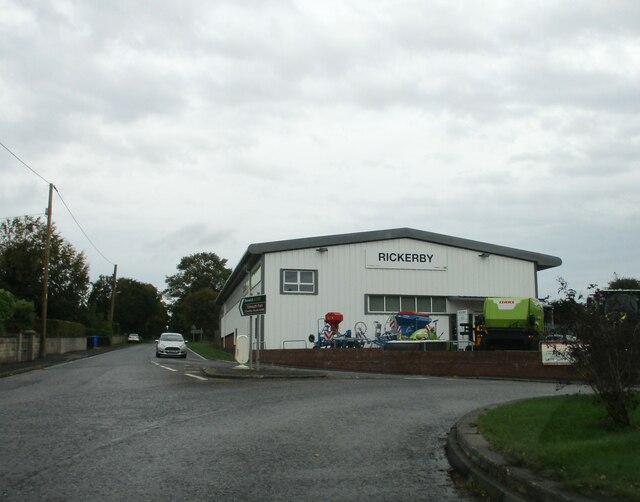
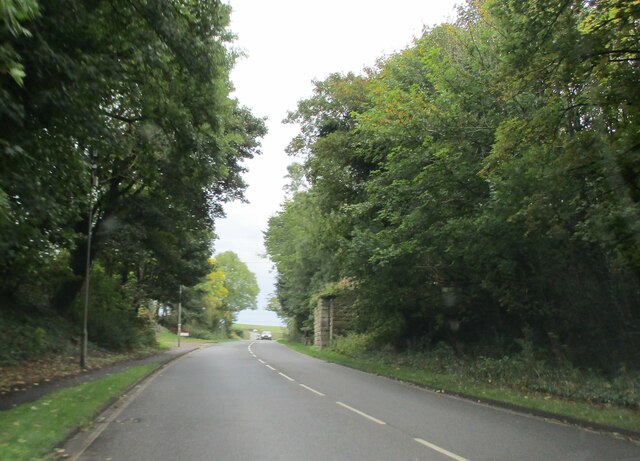
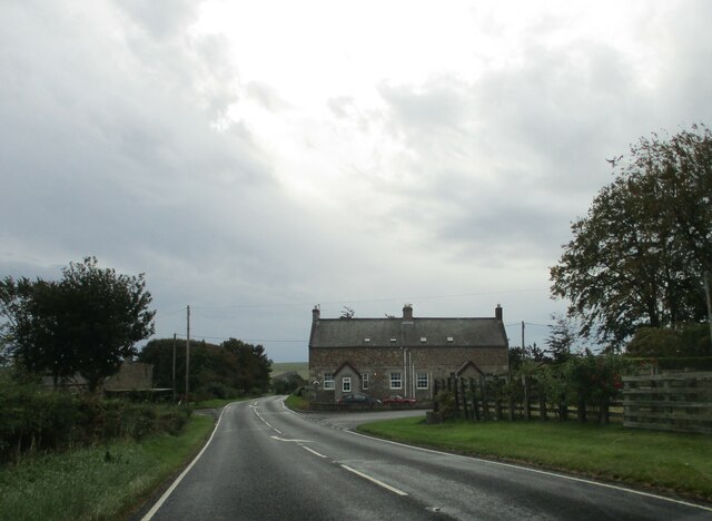
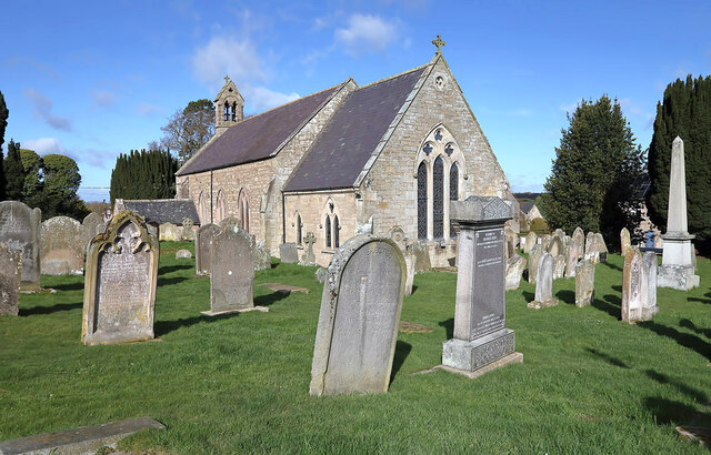
Glebe Plantation Images
Images are sourced within 2km of 55.65375/-2.2186905 or Grid Reference NT8640. Thanks to Geograph Open Source API. All images are credited.
Glebe Plantation is located at Grid Ref: NT8640 (Lat: 55.65375, Lng: -2.2186905)
Unitary Authority: Northumberland
Police Authority: Northumbria
What 3 Words
///aliens.teeth.discusses. Near Coldstream, Scottish Borders
Nearby Locations
Related Wikis

Coldstream railway station
Coldstream railway station served the town of Coldstream in Berwickshire, Scotland although the station was across the River Tweed in Northumberland, England...
Cornhill-on-Tweed
Cornhill-on-Tweed is a small village and civil parish in Northumberland, England about 1 mile (1.6 km) to the east of Coldstream, Scotland. The hamlets...

Coldstream Bridge
Coldstream Bridge, linking Coldstream, Scottish Borders with Cornhill-on-Tweed, Northumberland, is an 18th-century Category A/Grade II* listed bridge between...
Barelees Pond
Barelees Pond is the name given to a Site of Special Scientific Interest (SSSI) in north Northumberland, England. The site is a kettle hole, a deep pond...
Nearby Amenities
Located within 500m of 55.65375,-2.2186905Have you been to Glebe Plantation?
Leave your review of Glebe Plantation below (or comments, questions and feedback).