Hanging Covert

Wood, Forest in Dorset

England

Hanging Covert

Birch trees beside Puddletown Road
Birch trees beside Puddletown Road Credit: JThomas

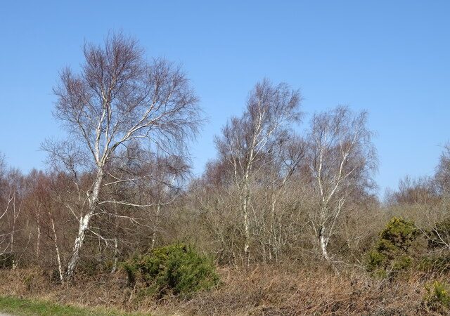
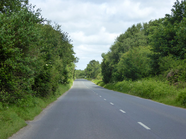
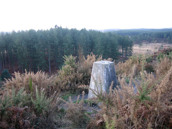
Hanging Covert is a picturesque woodland located in the county of Dorset, England. Situated in the heart of the county, this enchanting forest is known for its tranquil atmosphere and diverse wildlife.

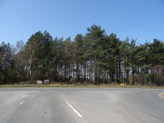
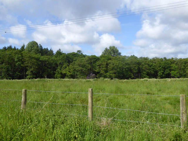
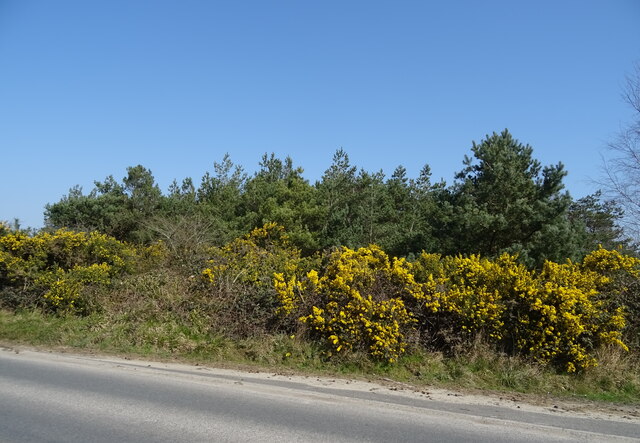
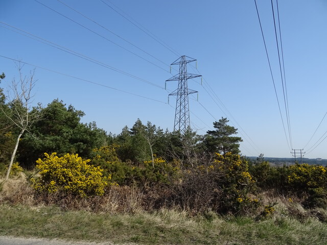
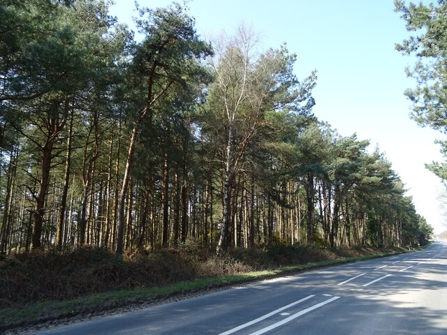
Covering an area of approximately 100 acres, Hanging Covert is predominantly composed of ancient broadleaf trees, such as oak, beech, and ash, which create a dense canopy overhead. The woodland floor is adorned with a rich carpet of bluebells and wildflowers during the spring months, attracting nature enthusiasts and photographers alike.

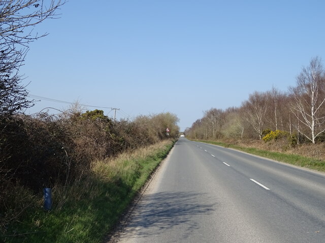
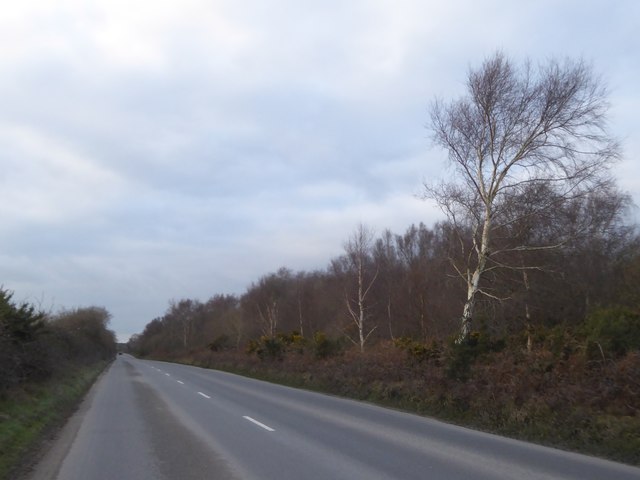
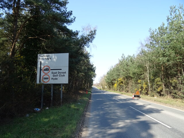
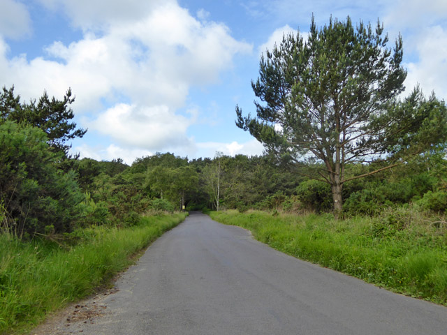
The forest is intersected by a network of well-maintained footpaths and trails, allowing visitors to explore its natural beauty at their own pace. These paths lead to secluded clearings, hidden ponds, and babbling brooks, providing perfect spots for picnics or quiet contemplation.

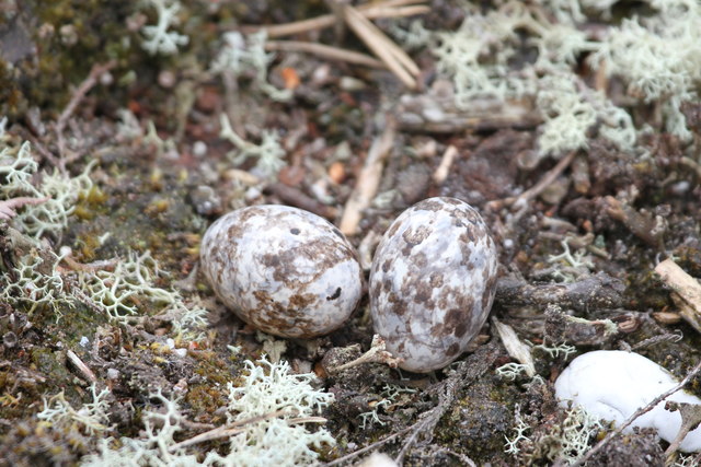
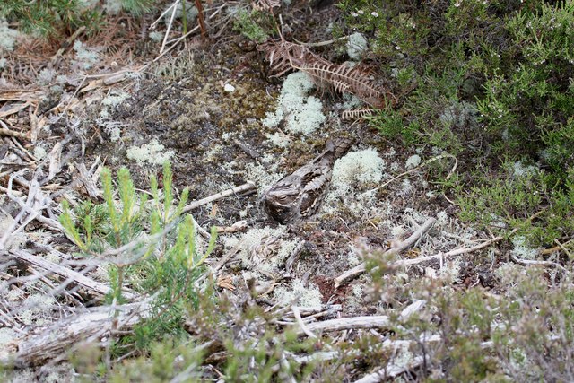
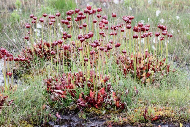
Hanging Covert is also a haven for a variety of wildlife. Birdwatchers will delight in the opportunity to spot species such as woodpeckers, jays, and tawny owls. Small mammals like rabbits, foxes, and badgers can also be spotted, while the forest's ponds are home to frogs, newts, and dragonflies.

The woodland is managed by the local conservation organization, which ensures the preservation of its natural integrity. Regular maintenance activities, such as tree planting and invasive species control, help to maintain the balance of the ecosystem.

Overall, Hanging Covert in Dorset offers a serene escape from the bustle of daily life, providing a perfect setting for nature lovers and outdoor enthusiasts to immerse themselves in the beauty of the English countryside.

If you have any feedback on the listing, please let us know in the comments section below.

Hanging Covert Images

Images are sourced within 2km of 50.715333/-2.1958964 or Grid Reference SY8690. Thanks to Geograph Open Source API. All images are credited.

Birch trees beside Puddletown Road
Puddletown Road
Puddletown Road
Woodland near Bovington Camp
Nightjar eggs, Philliols Heath Whilst trying to get a better vantage point to photograph a buzzard, I was surprised by a nightjar erupting from the heather just in front of me. To my astonishment, there in the place where the bird had been, were two very well camouflaged eggs. I didn't want to disturb the bird any more than I had already done so but I just had to get a shot of the bird itself...
Nightjar eggs, Philliols Heath
Whilst trying to get a better vantage point to photograph a buzzard, I was surprised by a nightjar erupting from the heather just in front of me. To my astonishment, there in the place where the bird had been, were two very well camouflaged eggs. I didn't want to disturb the bird any more than I had already done so but I just had to get a shot of the bird itself...
Nightjar, Philliols Heath Having disturbed the bird on its eggs the previous day I returned the following day to try to get a pic of the bird itself. This time I stayed about 10 feet away. The bird was virtually invisible due to its camouflaged plumage; although it appears to be dozing with just a tiny slit of eye visible, this is simply a further attempt by the bird to become invisible; it is actually wide awake but hiding its very dark and very visible eyes.
Nightjar, Philliols Heath
Having disturbed the bird on its eggs the previous day I returned the following day to try to get a pic of the bird itself. This time I stayed about 10 feet away. The bird was virtually invisible due to its camouflaged plumage; although it appears to be dozing with just a tiny slit of eye visible, this is simply a further attempt by the bird to become invisible; it is actually wide awake but hiding its very dark and very visible eyes.
Pitcher plants, Philliols Heath My understanding is that these plants are sarracenia purpurea, the purple pitcher plant, an insectivorous plant native of North America. This pic shows three large groups but a wider angle would reveal closer to 50 of them. I know that many believe that as an alien species they should be removed and destroyed but whatever your belief, you can't deny their beauty and the fact that they're fascinating.
Pitcher plants, Philliols Heath
My understanding is that these plants are sarracenia purpurea, the purple pitcher plant, an insectivorous plant native of North America. This pic shows three large groups but a wider angle would reveal closer to 50 of them. I know that many believe that as an alien species they should be removed and destroyed but whatever your belief, you can't deny their beauty and the fact that they're fascinating.
Barn, Philliols Farm Not nationally listed, but the barn just showing behind it is grade II.
Barn, Philliols Farm
Not nationally listed, but the barn just showing behind it is grade II.
Woodland, River Piddle valley Looking across one of the strands of the Piddle, hidden by lush vegetation, but marked by the line of a white umbellifer.
Woodland, River Piddle valley
Looking across one of the strands of the Piddle, hidden by lush vegetation, but marked by the line of a white umbellifer.
Puddletown Road Higher Hyde Heath nature reserve is to the right.
Puddletown Road
Higher Hyde Heath nature reserve is to the right.
Bare silver birches by Puddletown Road On the edge of Higher Hyde Heath nature reserve
Bare silver birches by Puddletown Road
On the edge of Higher Hyde Heath nature reserve
Warning on the road south from Gallows Hill A necessary warning of hidden dips on a long straight (and generally level) road
Warning on the road south from Gallows Hill
A necessary warning of hidden dips on a long straight (and generally level) road
Old Boundary Marker on Bloxworth Heath, Bloxworth parish Parish Boundary Marker in parish of Bloxworth (Purbeck District), Bloxworth Heath, 30m Southwest of forestry road overlooking wet grassland, on patch of dry heathland.

Surveyed

Milestone Society National ID: DO_BLXEST01pb
Old Boundary Marker on Bloxworth Heath, Bloxworth parish
Parish Boundary Marker in parish of Bloxworth (Purbeck District), Bloxworth Heath, 30m Southwest of forestry road overlooking wet grassland, on patch of dry heathland. Surveyed Milestone Society National ID: DO_BLXEST01pb
Woodland beside Puddletown Road
Puddletown Road
Puddletown Road
Woodland and powerlines, South Heath
Puddletown Road
Puddletown Road
Woodland beside Puddletown Road
Road, Higher Hyde Heath Public heathland.
Road, Higher Hyde Heath
Public heathland.
Show me another place!

Hanging Covert is located at Grid Ref: SY8690 (Lat: 50.715333, Lng: -2.1958964)

Unitary Authority: Dorset

Police Authority: Dorset

What 3 Words

///questions.cliff.selection. Near Bovington Camp, Dorset

Related Wikis

Bere Stream

Bere Stream (grid reference SY860926) is an 11.2 hectare biological Site of Special Scientific Interest in Dorset, notified in 1977. == Sources == English...

Wareham Forest

Wareham Forest is an area of countryside in Dorset, England, consisting of open heathland, including Decoy Heath and Gore Heath, and plantations of conifers...

Monkey World

The Monkey World Ape Rescue Centre is a 65-acre (26.3 ha) ape and monkey sanctuary and rescue centre near Wool, Dorset, England. == History == Set up in...

Trigon Hill

Trigon Hill is a hill on the edge of a clay pit near Cold Harbour, Dorset, on the Dorset Heaths. It rises about 3 kilometres northwest of the centre of...

Turners Puddle

Turners Puddle is a village and former civil parish, now in the parish of Affpuddle and Turnerspuddle, in the Dorset district, in the ceremonial county...

Woolsbarrow Hillfort

Woolsbarrow Hillfort is a hillfort on Bloxworth Heath in the district of Purbeck in the county of Dorset, England. It dates to the period from the Late...

Winfrith Hundred

Winfrith Hundred was a hundred in the county of Dorset, England, containing the following parishes: Coombe Keynes East Lulworth East Stoke Moreton (part...

Bovington Camp

Bovington Camp () is a British Army military base in Dorset, England. Together with Lulworth Camp it forms part of Bovington Garrison. The garrison is...

Nearby Amenities

Located within 500m of 50.715333,-2.1958964
Material: wood
Power: pole
Source: survey
Lat/Long: 50.713661/-2.1932624
Addr Housename: Hydewoods
Surveillance: threatened
Lat/Long: 50.7142444/-2.1927407
Material: wood
Power: pole
Transformer: distribution
Lat/Long: 50.7113749/-2.192856
Material: wood
Power: pole
Lat/Long: 50.7121622/-2.1929956
Material: wood
Power: pole
Lat/Long: 50.7127948/-2.1931122
Material: wood
Power: pole
Lat/Long: 50.7148677/-2.1931981
Material: wood
Power: pole
Lat/Long: 50.7151173/-2.1888274
Material: wood
Power: pole
Source: survey
Lat/Long: 50.7157245/-2.1928641
Material: wood
Note: Recloser
Power: pole
Lat/Long: 50.7155406/-2.191637
Material: wood
Power: pole
Source: survey
Switch: yes
Lat/Long: 50.7152956/-2.190198
Material: wood
Power: pole
Source: survey
Transformer: distribution
Lat/Long: 50.7171701/-2.1934545
Material: wood
Power: pole
Source: survey
Lat/Long: 50.7157754/-2.1932182
Material: wood
Power: pole
Source: survey;bing
Lat/Long: 50.7165541/-2.1933764
Fire Hydrant
Emergency: fire_hydrant
Fire Hydrant Diameter: 4 inch
Fire Hydrant Type: underground
Ref: 9281
Lat/Long: 50.717066/-2.193133
Addr Housename: Woodlands
Lat/Long: 50.7174363/-2.1936084
Addr Housename: Dormer Cottage
Lat/Long: 50.7174193/-2.1935977
Post Box
Collection Times: Mo-Fr 16:00; Sa 09:00
Operator: Royal Mail
Post Box Type: lamp
Ref: BH20 131
Ref GB Uprn: 10015285429
Royal Cypher: EIIR
Royal Cypher Wikidata: Q33102113
Source: survey
Lat/Long: 50.7179305/-2.1908806
Board Type: notice
Information: board
Tourism: information
Lat/Long: 50.7179517/-2.1908726
Power: pole
Source: bing
Lat/Long: 50.7143845/-2.1944962
Power: pole
Source: bing
Lat/Long: 50.7147692/-2.1955732
Power: pole
Source: bing
Lat/Long: 50.7153152/-2.1972938
Power: pole
Source: bing
Lat/Long: 50.7150264/-2.1963939
Material: wood
Power: pole
Source: bing
Lat/Long: 50.7143123/-2.1932356
The data included in this document is from www.openstreetmap.org. The data is made available under ODbL.

Have you been to Hanging Covert?

Leave your review of Hanging Covert below (or comments, questions and feedback).