Middle Covert
Wood, Forest in Worcestershire Wychavon
England
Middle Covert

Middle Covert is a small woodland located in the county of Worcestershire, England. Situated in the heart of the county, it is part of the larger Forest of Worcestershire, known for its lush greenery and diverse wildlife.
Covering an area of approximately 100 acres, Middle Covert is characterized by a mix of deciduous and coniferous trees, creating a vibrant and varied landscape. The woodland is mainly composed of oak, beech, and pine trees, which provide a dense canopy, offering shelter and habitat for numerous species of animals and birds.
The forest floor is covered in a thick layer of leaf litter, creating a haven for small mammals such as squirrels, badgers, and foxes. The undergrowth is adorned with an array of woodland flowers, including bluebells, primroses, and wood anemones, which add a splash of color to the surroundings during the spring and summer months.
Middle Covert is not only a natural gem but also a popular recreational spot for locals and visitors alike. There are well-maintained footpaths that wind their way through the woodland, allowing visitors to explore and immerse themselves in the tranquil surroundings. It is a perfect place for walking, jogging, or simply enjoying a picnic amidst nature.
The woodland is managed by the Worcestershire Wildlife Trust, ensuring its preservation and protection for future generations to enjoy.
If you have any feedback on the listing, please let us know in the comments section below.
Middle Covert Images
Images are sourced within 2km of 52.327627/-2.2048704 or Grid Reference SO8669. Thanks to Geograph Open Source API. All images are credited.


Middle Covert is located at Grid Ref: SO8669 (Lat: 52.327627, Lng: -2.2048704)
Administrative County: Worcestershire
District: Wychavon
Police Authority: West Mercia
What 3 Words
///slimming.activates.makes. Near Hartlebury, Worcestershire
Nearby Locations
Related Wikis

Hartlebury railway station
Hartlebury railway station serves the village of Hartlebury in Worcestershire, England. All trains serving the station are operated by West Midlands Trains...

Elmley Lovett
Elmley Lovett in Worcestershire, England is a civil parish whose residents' homes are quite loosely clustered east of its Hartlebury Trading Estate, as...

Hartlebury
Hartlebury is a village and civil parish in the Wychavon district of Worcestershire, England. It is 4 miles (6.4 km) south of Kidderminster. The village...

Cutnall Green Halt railway station
Cutnall Green Halt was a railway station in Worcestershire, England, serving the nearby village of Hampton Lovett on the Oxford, Worcester and Wolverhampton...

Snead's Green
Snead's Green, sometimes written Sneads Green, is an area of Droitwich Spa, Worcestershire, England.Francis Moule, of Snead's Green House, sold the manorial...

Rushock
Rushock is a village and civil parish in the Wyre Forest District of Worcestershire, England. At the 2001 census it had a population of 138. The grave...

Crossway Green
Crossway Green is a village in Worcestershire, England.
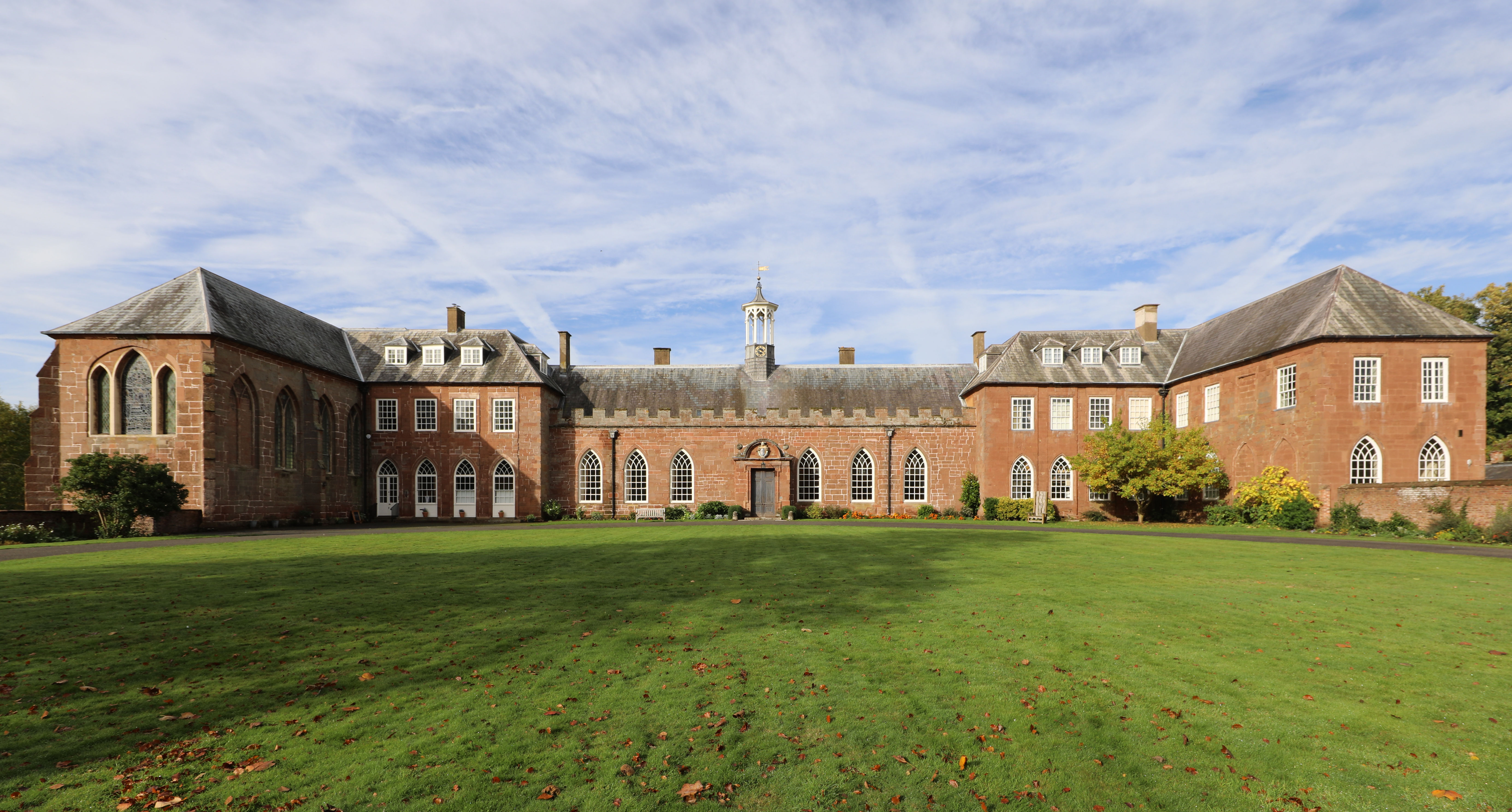
Hartlebury Castle
Hartlebury Castle, a Grade I listed building, near Hartlebury in Worcestershire, central England, was built in the mid-13th century as a fortified manor...
Nearby Amenities
Located within 500m of 52.327627,-2.2048704Have you been to Middle Covert?
Leave your review of Middle Covert below (or comments, questions and feedback).