Stoke Coppice
Wood, Forest in Worcestershire Malvern Hills
England
Stoke Coppice

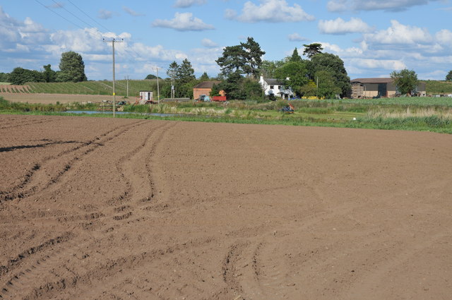
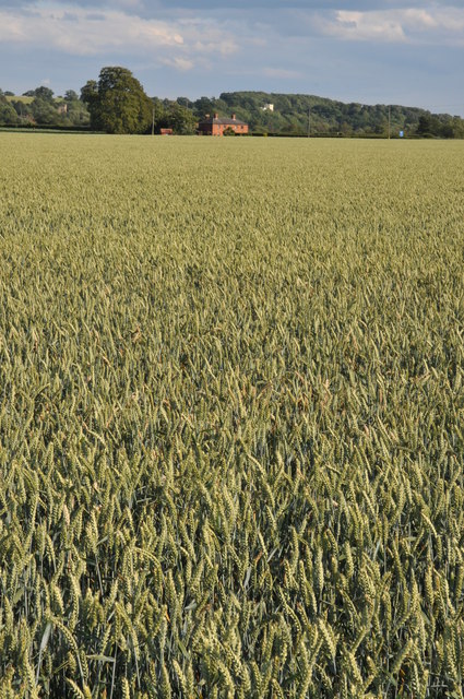
Stoke Coppice is a beautiful woodland area located in Worcestershire, England. Covering an area of approximately 30 acres, this ancient forest is a haven for nature enthusiasts and a popular destination for outdoor activities.
The coppice is predominantly made up of broadleaf trees, such as oak, ash, and beech, which create a dense and lush canopy overhead. The forest floor is adorned with a variety of flora, including bluebells, wild garlic, and ferns, adding to the enchanting atmosphere of the woodland.
One of the most notable features of Stoke Coppice is its rich biodiversity. The forest is home to a diverse range of wildlife, including deer, foxes, badgers, and an array of bird species. Birdwatchers can spot woodpeckers, owls, and various songbirds throughout the year.
Visitors to Stoke Coppice can enjoy a multitude of activities. The well-maintained trails and pathways allow for pleasant walks, hikes, and cycling adventures through the picturesque woodland. There are also designated picnic areas where visitors can relax and take in the tranquil surroundings.
The coppice has a long history, with evidence of human activity dating back centuries. It has been used as a source of timber and firewood for the local communities for generations. Today, it continues to be managed sustainably, ensuring the preservation of its natural beauty and ecological importance.
Stoke Coppice offers a peaceful and rejuvenating escape from the hustle and bustle of modern life. Its idyllic setting, diverse wildlife, and recreational opportunities make it a must-visit destination for nature lovers and those seeking a connection with the natural world.
If you have any feedback on the listing, please let us know in the comments section below.
Stoke Coppice Images
Images are sourced within 2km of 52.097429/-2.2044989 or Grid Reference SO8644. Thanks to Geograph Open Source API. All images are credited.


Stoke Coppice is located at Grid Ref: SO8644 (Lat: 52.097429, Lng: -2.2044989)
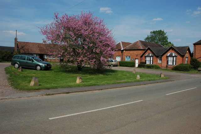
Administrative County: Worcestershire
District: Malvern Hills
Police Authority: West Mercia
What 3 Words
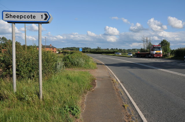
///coconuts.hiker.trial. Near Upton upon Severn, Worcestershire
Nearby Locations
Related Wikis

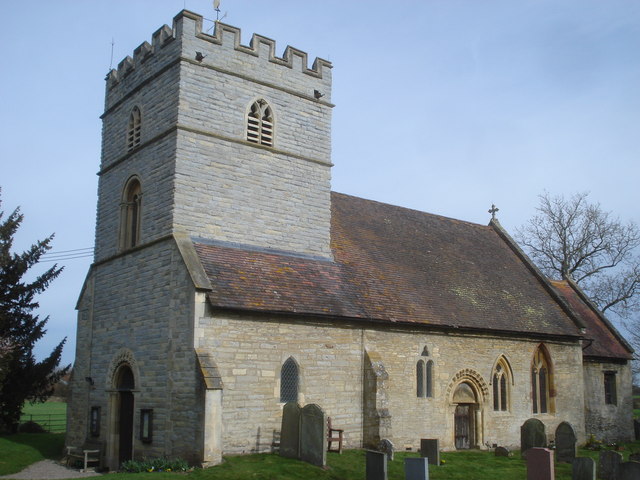
Severn Stoke
Severn Stoke is an English village and civil parish in the Malvern Hills District, in the south of the county of Worcestershire, alongside the A38 trunk...
High Green, Worcestershire
High Green is a village in Worcestershire, England.

Croome D'Abitot
Croome D'Abitot is a village and civil parish, which shares a joint parish council with Severn Stoke, in the Malvern Hills District in the county of Worcestershire...

Kerswell Green
Kerswell Green is a village in Worcestershire, England.
Earls Croome
Earl's Croome is a village and civil parish in the Malvern Hills District in the county of Worcestershire, England. It had a population of 243 in 2021...
Clifton, Worcestershire
Clifton is a small village in Severn Stoke civil parish, Malvern Hills District, Worcestershire, England.
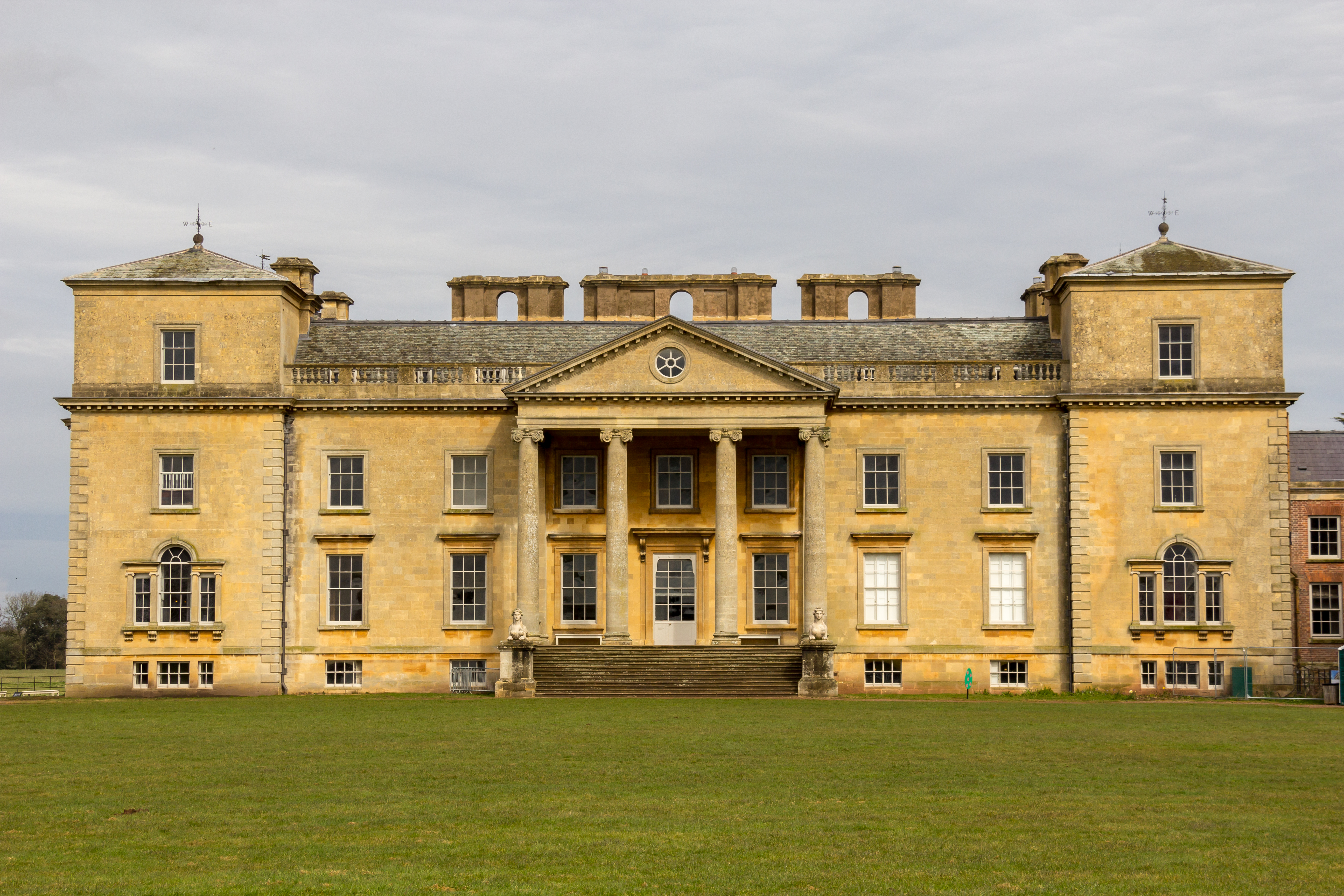
Croome Court
Croome Court is a mid-18th-century Neo-Palladian mansion surrounded by extensive landscaped parkland at Croome D'Abitot, near Upton-upon-Severn in south...

Horewell Forest
Horewell Forest was a royal forest, i. e. a royal game preserve. In the west, it bordered the river Severn, and Strensham in the south and extended to...
Nearby Amenities
Located within 500m of 52.097429,-2.2044989Have you been to Stoke Coppice?
Leave your review of Stoke Coppice below (or comments, questions and feedback).