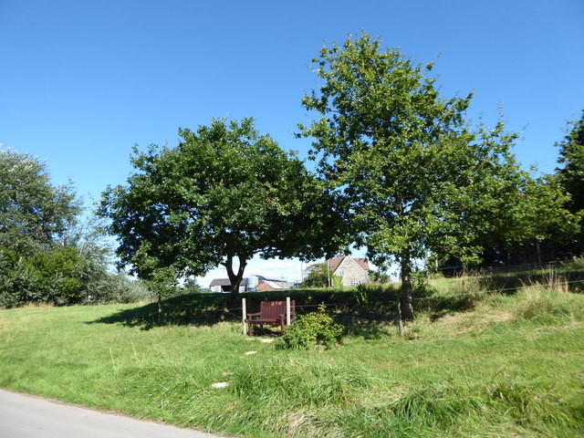
Dewdown Copse
Wood, Forest in Wiltshire
England
Dewdown Copse

Dewdown Copse is a picturesque woodland located in the county of Wiltshire, England. Situated near the village of Kilmington, this dense forest covers an area of approximately 100 acres. The copse is known for its diverse ecosystem, featuring a variety of trees, plants, and wildlife.
The woodland is primarily composed of deciduous trees such as oak, beech, and ash, which provide a stunning display of colors during the autumn season. The forest floor is covered with a rich carpet of ferns, bluebells, and other wildflowers, creating a vibrant and enchanting atmosphere.
Dewdown Copse is a haven for wildlife enthusiasts and nature lovers alike. It is home to a wide range of animals, including deer, squirrels, badgers, and several species of birds. Birdwatchers will delight in the opportunity to spot woodpeckers, owls, and various songbirds that inhabit the area.
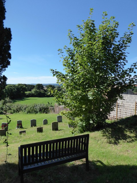
The copse is crisscrossed by a network of footpaths and trails, allowing visitors to explore and appreciate the natural beauty of the woodland. These paths lead to secluded clearings and tranquil streams, providing a peaceful and relaxing environment for walkers and hikers.
Dewdown Copse is a popular destination for outdoor activities such as picnicking, photography, and nature study. It offers a serene and idyllic setting, perfect for those seeking a break from the hustle and bustle of everyday life.
Overall, Dewdown Copse in Wiltshire is a stunning woodland that captivates visitors with its diverse flora and fauna, providing a haven for both wildlife and nature enthusiasts to enjoy and appreciate.
If you have any feedback on the listing, please let us know in the comments section below.
Dewdown Copse Images
Images are sourced within 2km of 51.045018/-2.2036476 or Grid Reference ST8527. Thanks to Geograph Open Source API. All images are credited.


Dewdown Copse is located at Grid Ref: ST8527 (Lat: 51.045018, Lng: -2.2036476)
Unitary Authority: Wiltshire
Police Authority: Wiltshire
What 3 Words
///taxi.dissolves.rational. Near Motcombe, Dorset
Nearby Locations
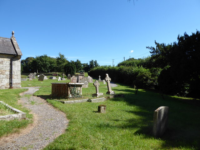
Related Wikis

Sedgehill
Sedgehill is a small village and former civil parish, now in the parish of Sedgehill and Semley, in the southwest of the county of Wiltshire, England....

Semley railway station
Semley was a railway station in Wiltshire, England. It was served by trains on the West of England Main Line and was the railhead for the town of Shaftesbury...

Sedgehill and Semley
Sedgehill and Semley is a civil parish in the English county of Wiltshire, about 3 miles (4.8 km) north of the town of Shaftesbury on the main A350 road...
Motcombe
Motcombe is a village and civil parish in north Dorset, England. It lies about two miles (three kilometres) north of Shaftesbury. It is sited on Kimmeridge...
Port Regis School
Port Regis School is a co-educational preparatory school located in 140 acres of parkland on the Dorset-Wiltshire border in southern England, situated...

Semley
Semley is a village and former civil parish, now in the parish of Sedgehill and Semley, in Wiltshire, England, about 3 miles (4.8 km) north-east of Shaftesbury...

Higher Wincombe
Higher Wincombe is a farm and small hamlet in the parish of Donhead St Mary, Wiltshire, England. It lies at the head of the Nadder Valley, just beyond...

St. Mary's Church, East Knoyle
St. Mary's Church is a Church of England parish church in East Knoyle, Wiltshire, England. == History == The Church of England Parish Church of St Mary...
Nearby Amenities
Located within 500m of 51.045018,-2.2036476Have you been to Dewdown Copse?
Leave your review of Dewdown Copse below (or comments, questions and feedback).