Severn Bank Wood

Wood, Forest in Worcestershire Malvern Hills

England

Severn Bank Wood

Brick-built roadside house
Brick-built roadside house Credit: Sarah Charlesworth

Severn Bank Wood is a picturesque woodland located in Worcestershire, England. Covering an area of approximately 100 acres, this woodland is situated along the banks of the River Severn, lending it its name. It is a popular destination for nature enthusiasts, hikers, and families looking to enjoy a peaceful day surrounded by nature.

The woodland is characterized by a diverse range of tree species, including oak, ash, birch, and beech, which create a rich and vibrant canopy. The forest floor is covered in a carpet of ferns and wildflowers, adding to the area's natural beauty. The wood is also home to a variety of wildlife, including badgers, foxes, deer, and a plethora of bird species, making it a haven for birdwatching enthusiasts.

Severn Bank Wood offers a network of well-maintained walking trails, allowing visitors to explore the area at their own pace. These trails meander through the woodland, offering stunning views of the river and the surrounding countryside. Along the paths, visitors may come across picnic spots and benches, providing the perfect opportunity to relax and enjoy the tranquil surroundings.

The wood is managed by the Worcestershire Wildlife Trust, which ensures the conservation and protection of the area's natural habitat. The Trust also organizes educational events and guided walks, allowing visitors to learn more about the local flora and fauna.

Overall, Severn Bank Wood is a beautiful and serene woodland, offering a peaceful escape from the hustle and bustle of everyday life. Its diverse ecosystem, stunning views, and well-maintained trails make it a must-visit destination for nature lovers in Worcestershire.

If you have any feedback on the listing, please let us know in the comments section below.

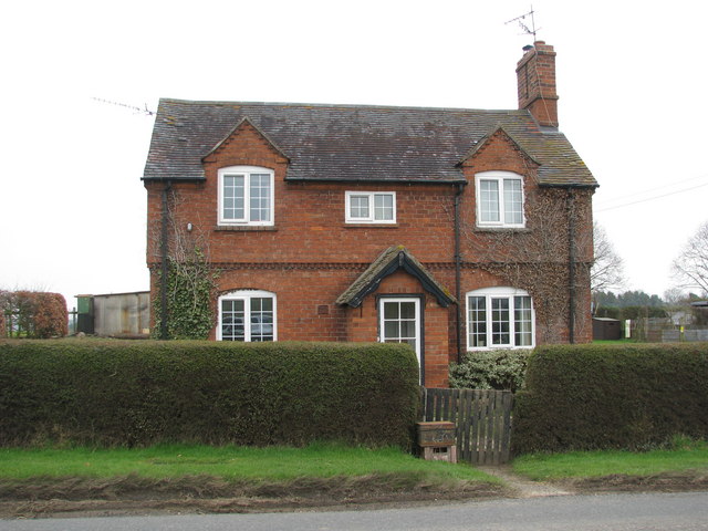
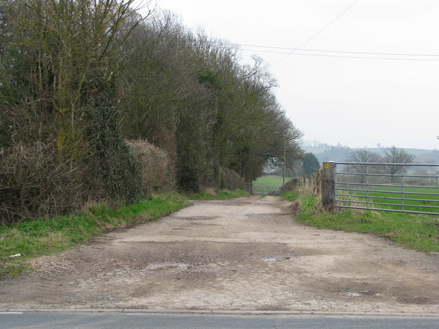
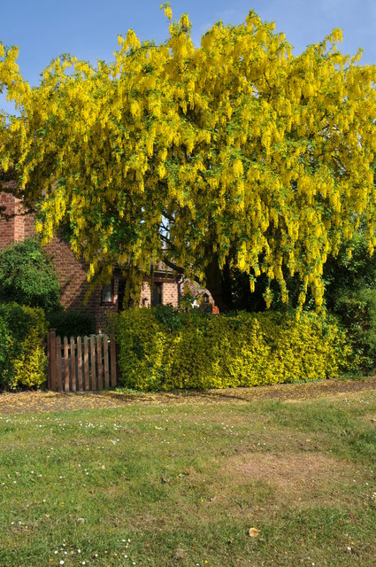
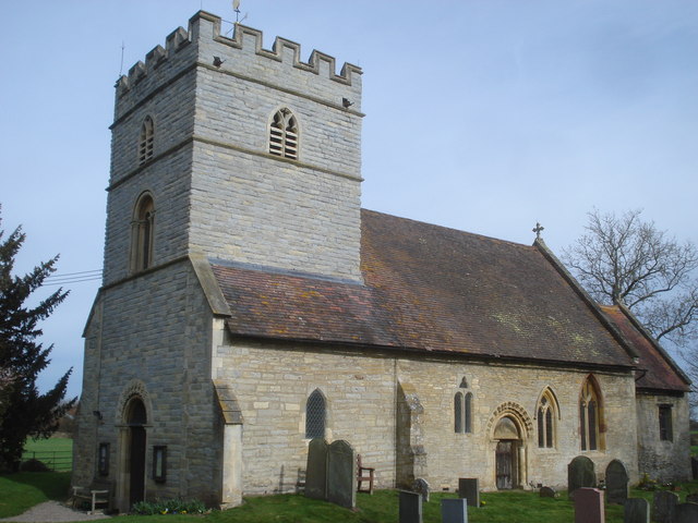
Severn Bank Wood Images

Images are sourced within 2km of 52.089101/-2.2109265 or Grid Reference SO8543. Thanks to Geograph Open Source API. All images are credited.

Brick-built roadside house
Track down the side of Cliffey Wood
Oilseed rape and cow parsley The footpath passing along the edge of this field is currently a little overgrown with oilseed rape and wild cow parsley.
Oilseed rape and cow parsley
The footpath passing along the edge of this field is currently a little overgrown with oilseed rape and wild cow parsley.
Footpath through oilseed rape This footpath through this field of oilseed rape used go to High Green until the M5 motorway cut through it in the early 1960s.
Footpath through oilseed rape
This footpath through this field of oilseed rape used go to High Green until the M5 motorway cut through it in the early 1960s.
Houses on Quay Lane Houses on Quay Lane, Earl's Croome.
Houses on Quay Lane
Houses on Quay Lane, Earl's Croome.
Earls Grange, Earl's Croome These four houses in Earls Grange were built in 1997 on land which used to be the play area of the former village school in Earl's Croome.
Earls Grange, Earl's Croome
These four houses in Earls Grange were built in 1997 on land which used to be the play area of the former village school in Earl's Croome.
Play area, Earl's Croome Formerly part of school play area this land was set-aside as a play area after to the school was closed and redeveloped.
Play area, Earl's Croome
Formerly part of school play area this land was set-aside as a play area after to the school was closed and redeveloped.
Hawthorn blossom Hawthorn blossom in Earl's Croome.
Hawthorn blossom
Hawthorn blossom in Earl's Croome.
Hawthorn blossom This Hawthorn tree Earl's Croome is heavy in blossom.
Hawthorn blossom
This Hawthorn tree Earl's Croome is heavy in blossom.
Apple tree in blossom Apple tree in blossom in Earl's Croome.
Apple tree in blossom
Apple tree in blossom in Earl's Croome.
Laburnum in flower Laburnum in flower in Orchard Close, Earl's Croome.
Laburnum in flower
Laburnum in flower in Orchard Close, Earl's Croome.
Orchard Close, Earl's Croome
Silver birch trees Silver birch trees in Earl's Croome.
Silver birch trees
Silver birch trees in Earl's Croome.
Road junction in Earl's Croome Road junction of Quay Lane and the road to Dunstall in Earl's Croome.
Road junction in Earl's Croome
Road junction of Quay Lane and the road to Dunstall in Earl's Croome.
Blank road sign, Earl's Croome Each Spring during the breeding season a sign warning of frogs and toads in the road appears here for a couple of months.  See: <a href="https://www.geograph.org.uk/photo/2310285">SO8742 : Toad in the road</a>
Blank road sign, Earl's Croome
Each Spring during the breeding season a sign warning of frogs and toads in the road appears here for a couple of months. See: SO8742 : Toad in the road
Parking area, Earl's Croome Parking area beside the Village Hall and opposite these cottages in Earl's Croome.
Parking area, Earl's Croome
Parking area beside the Village Hall and opposite these cottages in Earl's Croome.
Cottages in Earl's Croome These cottages are built in a familiar architectural style and can be found in a number of villages in south Worcestershire as they were built by the Croome Estate. They were built over a period of years through the late nineteenth and early twentieth centuries during the life of the 9th Earl of Coventry.
Cottages in Earl's Croome
These cottages are built in a familiar architectural style and can be found in a number of villages in south Worcestershire as they were built by the Croome Estate. They were built over a period of years through the late nineteenth and early twentieth centuries during the life of the 9th Earl of Coventry.
Earls Grange Private road to houses in Earls Grange in the village of Earl's Croome.
Earls Grange
Private road to houses in Earls Grange in the village of Earl's Croome.
Show me another place!

Severn Bank Wood is located at Grid Ref: SO8543 (Lat: 52.089101, Lng: -2.2109265)

Administrative County: Worcestershire

District: Malvern Hills

Police Authority: West Mercia

What 3 Words

///paddle.portable.subtitle. Near Upton upon Severn, Worcestershire

Nearby Locations

Severn Bank Wood

Related Wikis

Severn Stoke

Severn Stoke is an English village and civil parish in the Malvern Hills District, in the south of the county of Worcestershire, alongside the A38 trunk...

Earls Croome

Earl's Croome is a village and civil parish in the Malvern Hills District in the county of Worcestershire, England. It had a population of 243 in 2021...

Hanley Castle

Hanley Castle is a village and civil parish in Worcestershire, England, between the towns of Malvern and Upton upon Severn and a short distance from the...

Hanley Castle High School

Hanley Castle High School is a non-selective mixed secondary school and sixth form centre located in the village of Hanley Castle, 1.4 miles (2.2 km) from...

Nearby Amenities

Located within 500m of 52.089101,-2.2109265
Source: Landsat photo
Lat/Long: 52.0913311/-2.216145
Source: Landsat photo
Lat/Long: 52.0898059/-2.215345
Source: Landsat photo
Lat/Long: 52.0885158/-2.2148719
Source: Landsat photo
Lat/Long: 52.0871216/-2.2146381
Source: Landsat photo
Lat/Long: 52.0860474/-2.2146589
Severn Bank
Naptan AtcoCode: 2000G643006
Naptan Bearing: N
Naptan BusStopType: CUS
Naptan CommonName: Severn Bank
Naptan Indicator: Adj
Naptan Landmark: Stoke Gardens
Naptan NaptanCode: wocdmamw
Naptan Street: A38
Naptan Verified: no
Source: naptan_import
Lat/Long: 52.0921912/-2.2076793
Barrier: stile
Foot: yes
Lat/Long: 52.0863584/-2.2136933
Location Transition: yes
Power: pole
Lat/Long: 52.090923/-2.2049072
Power: pole
Lat/Long: 52.090907/-2.2074452
Power: pole
Lat/Long: 52.090305/-2.2082493
Power: pole
Lat/Long: 52.0896656/-2.2091049
Power: pole
Lat/Long: 52.0890591/-2.2099337
Location Transition: yes
Power: pole
Lat/Long: 52.0914751/-2.2092497
Severn Bank
Power: pole
Transformer: distribution
Voltage Primary: 11000
Lat/Long: 52.0884477/-2.2107384
Severn Stoke South
Power: pole
Transformer: distribution
Voltage Primary: 11000
Lat/Long: 52.0906148/-2.2055241
High House Farm
Power: pole
Transformer: distribution
Voltage Secondary: 11000
Lat/Long: 52.0915987/-2.209754
Power: pole
Lat/Long: 52.0922578/-2.2104487
Power: pole
Lat/Long: 52.0929796/-2.2111863
Power: pole
Lat/Long: 52.093432/-2.2116664
Marker: aerial
Operator: CLH
Operator Old: GPSS
Ref: MP 5528
Ref GPSS: 19835
Utility: oil
Lat/Long: 52.0887804/-2.2089259
Marker: aerial
Operator: CLH
Operator Old: GPSS
Ref: MP 2495
Ref GPSS: 19433
Utility: oil
Lat/Long: 52.0891511/-2.2089925
Marker: aerial
Operator: CLH
Operator Old: GPSS
Ref: MP 5529
Utility: oil
Lat/Long: 52.0892165/-2.2090043
Marker: aerial
Operator: CLH
Operator Old: GPSS
Utility: oil
Lat/Long: 52.0911067/-2.209353
Power: pole
Lat/Long: 52.0910721/-2.2063449
The data included in this document is from www.openstreetmap.org. The data is made available under ODbL.

Have you been to Severn Bank Wood?

Leave your review of Severn Bank Wood below (or comments, questions and feedback).