The Grove
Wood, Forest in Worcestershire Malvern Hills
England
The Grove
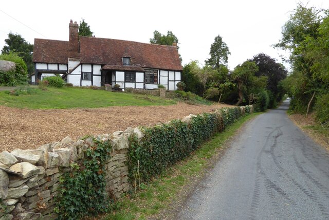
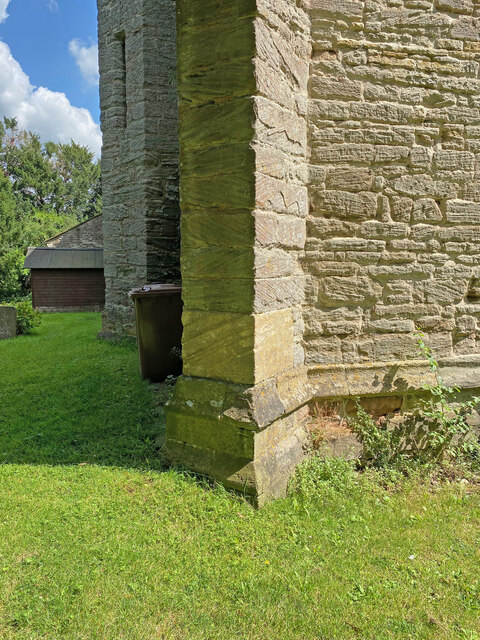
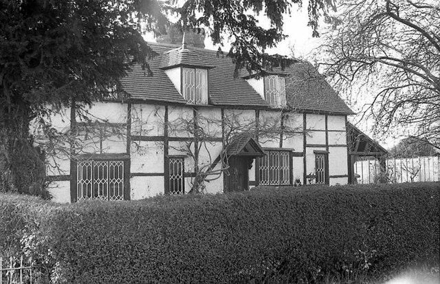
The Grove, Worcestershire, located in the West Midlands region of England, is a charming and picturesque woodland area known for its natural beauty and serene atmosphere. Nestled amidst the rolling hills and lush countryside of Worcestershire, The Grove is a haven for nature enthusiasts and those seeking a peaceful retreat.
Covering an area of approximately 50 acres, The Grove is abundant in diverse flora and fauna, making it a popular destination for hikers, walkers, and birdwatchers. The woodland is primarily composed of native broadleaf trees, such as oak, beech, and ash, creating a vibrant and colorful landscape throughout the year. The dense canopy of trees provides a tranquil setting, shielding visitors from the hustle and bustle of everyday life.
Trails and footpaths wind their way through The Grove, offering visitors the opportunity to explore the woodland at their own pace. These paths lead to hidden clearings, babbling brooks, and enchanting glades, providing a sense of discovery and adventure. The Grove also features several picnic areas and benches, allowing visitors to relax and take in the peaceful surroundings.
In addition to its natural beauty, The Grove is home to a variety of wildlife. Visitors may catch glimpses of deer, squirrels, and various species of birds, adding to the charm and allure of the woodland.
Overall, The Grove, Worcestershire, is a captivating woodland area that offers a tranquil escape from the outside world. Its natural beauty, diverse flora, and abundant wildlife make it a must-visit destination for nature lovers and those seeking solace in the heart of Worcestershire's countryside.
If you have any feedback on the listing, please let us know in the comments section below.
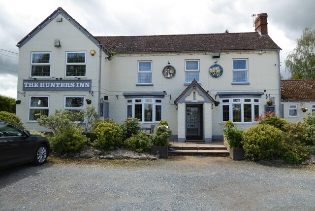
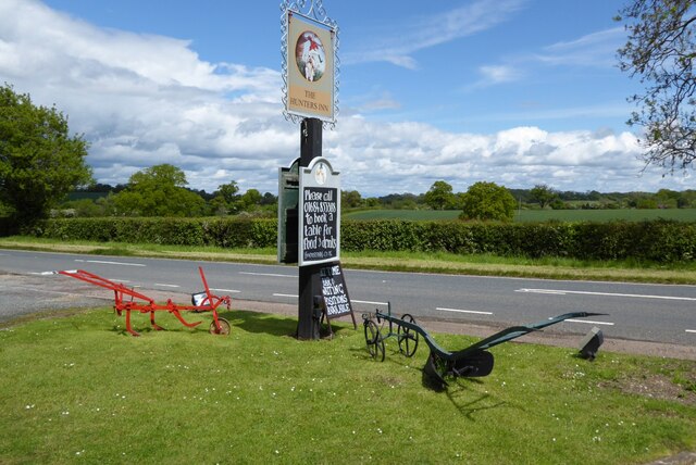
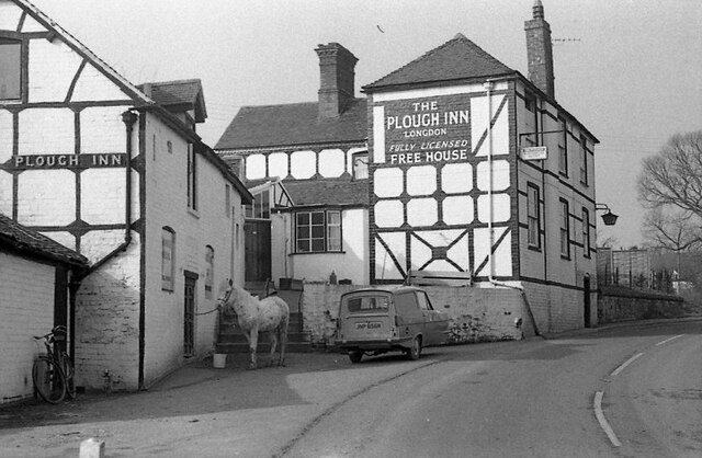
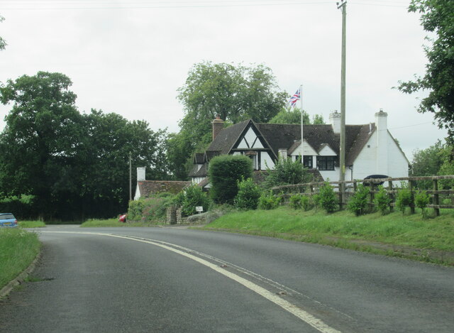
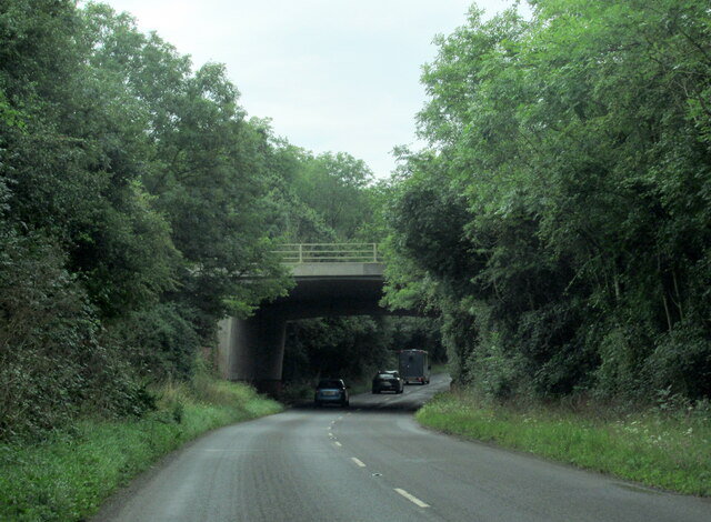
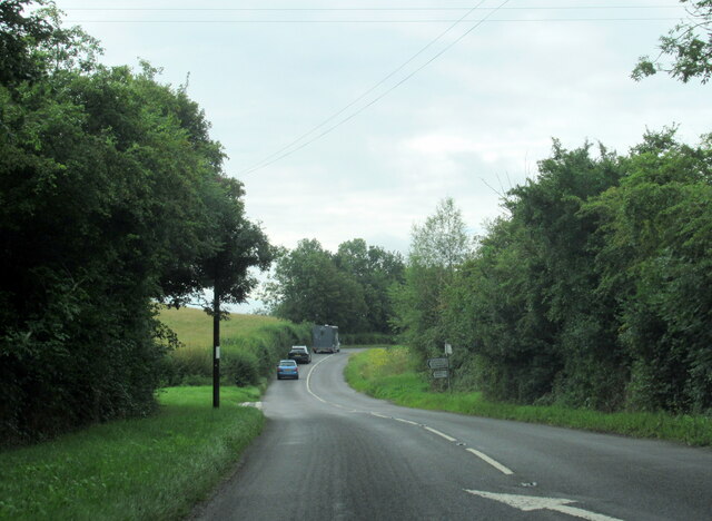
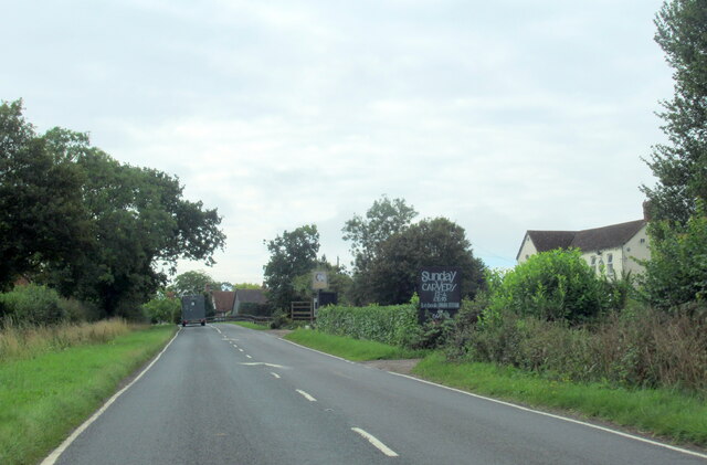
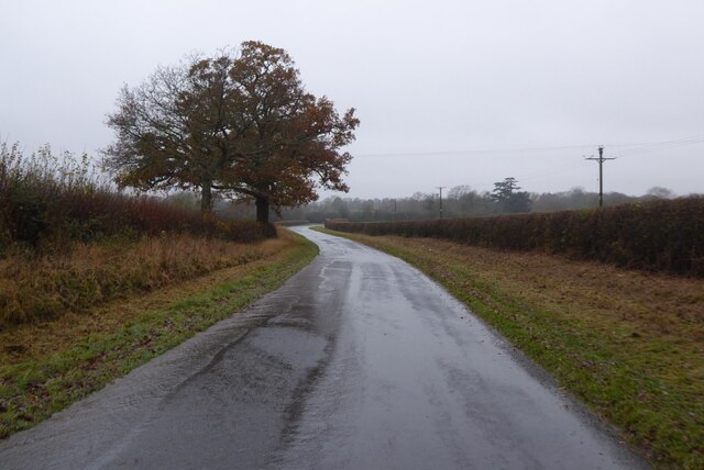
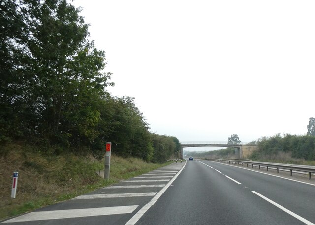
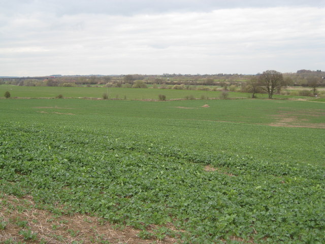
The Grove Images
Images are sourced within 2km of 52.016823/-2.2123345 or Grid Reference SO8535. Thanks to Geograph Open Source API. All images are credited.


The Grove is located at Grid Ref: SO8535 (Lat: 52.016823, Lng: -2.2123345)
Administrative County: Worcestershire
District: Malvern Hills
Police Authority: West Mercia
What 3 Words
///padlock.imply.presides. Near Tewkesbury, Gloucestershire
Nearby Locations
Related Wikis

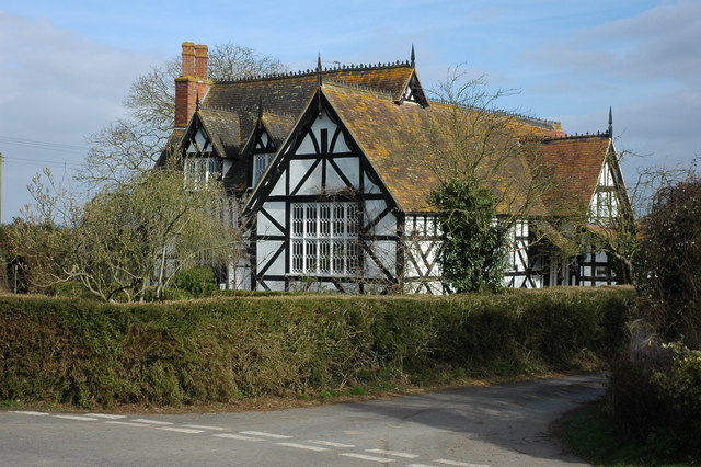
Bredon School
Bredon School, formerly Pull Court, is a private school in Bushley, Worcestershire, England. The house was built for the Reverend Canon E. C. Dowdeswell...

Queenhill
Queenhill is a civil parish and hamlet in the Malvern Hills District of the county of Worcestershire, England. It is one of three parishes administered...
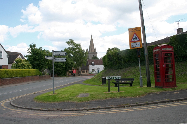
Longdon, Worcestershire
Longdon is a village and a civil parish in the Malvern Hills District and council ward of the county of Worcestershire, England and lies about 5 km (3...
Bushley
Bushley is a small village and civil parish in the Malvern Hills district in Worcestershire, England. The church is dedicated to Saint Peter. At the 2021...

Holdfast, Worcestershire
Holdfast is a civil parish in the Malvern Hills District of the county of Worcestershire, England. It is one of three administered by the Parish Council...

Forthampton
Forthampton is a village in Gloucestershire, England. The village is located three miles from the market town of Tewkesbury and features "a great number...
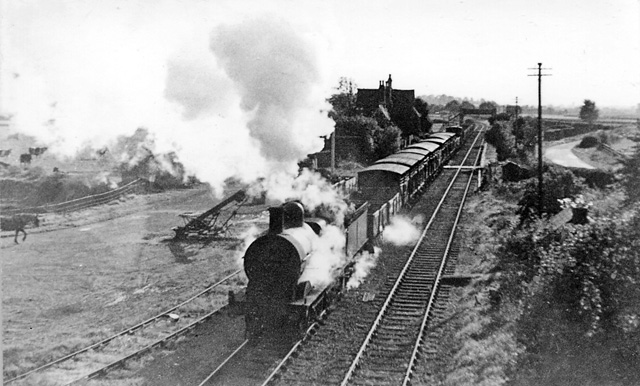
Ripple railway station
Ripple railway station was a station on the Midland Railway between Great Malvern and Evesham. It opened on 16 May 1864 by the Tewkesbury and Malvern...
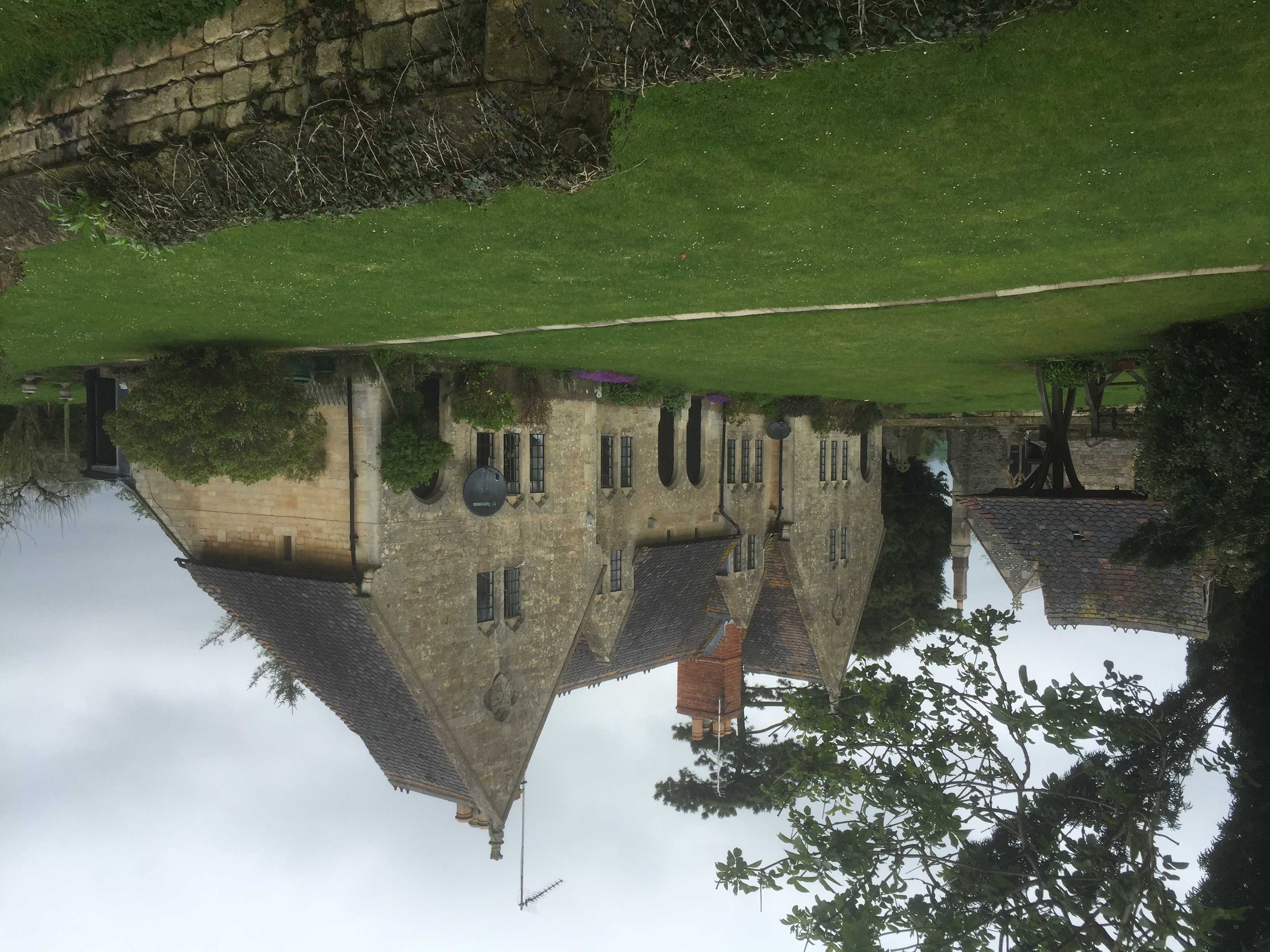
Yorke Almshouses
The Yorke Almshouses, Nos. 14–17 Church Row, Forthampton, Gloucestershire, England, are a range of four almshouses designed by the architect William Burges...
Nearby Amenities
Located within 500m of 52.016823,-2.2123345Have you been to The Grove?
Leave your review of The Grove below (or comments, questions and feedback).