Knight's Grove

Wood, Forest in Worcestershire Wychavon

England

Knight's Grove

Droitwich Canal - bridge hole with submerged cill There used to be a swing bridge across this narrowing of the canal but it was removed some years ago and dumped on the far bank. It might still be hidden in the undergrowth.
Droitwich Canal - bridge hole with submerged cill Credit: Chris Allen

Knight's Grove is a picturesque woodland located in Worcestershire, England. Covering an area of approximately 50 acres, it is a prime example of the region's rich natural beauty and is often referred to as one of Worcestershire's hidden gems.

The woodland is home to a diverse range of flora and fauna, with towering oak and beech trees dominating the landscape. The forest floor is covered in a lush carpet of bluebells during the spring months, creating a stunning display of color and fragrance. In addition to bluebells, visitors can also spot other wildflowers such as primroses and wood anemones.

Knight's Grove is not only a haven for plants, but it also provides a sanctuary for various wildlife species. The woodland is known to support a healthy population of deer, as well as numerous bird species including woodpeckers, owls, and wood warblers. Visitors often bring binoculars and cameras to capture the beauty of these creatures in their natural habitat.

The woodland is crisscrossed with numerous walking trails, allowing visitors to explore the area at their own pace. These trails vary in difficulty, catering to both casual walkers and more adventurous hikers. Along the way, there are benches strategically placed for those who wish to take a moment to immerse themselves in the tranquil surroundings.

Knight's Grove is a popular destination for nature enthusiasts, families, and photographers alike. It offers a serene escape from the hustle and bustle of everyday life, providing an opportunity to reconnect with nature and appreciate the beauty of Worcestershire's woodlands.

If you have any feedback on the listing, please let us know in the comments section below.

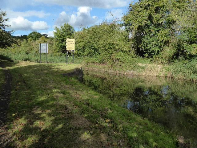
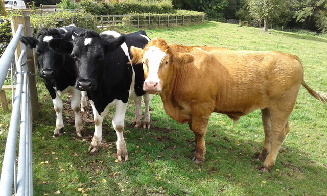
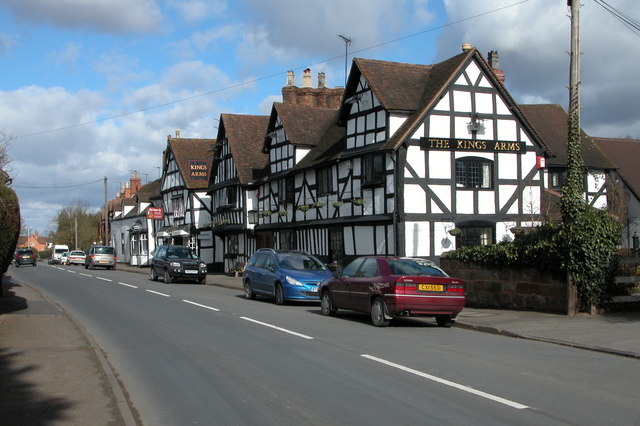
Knight's Grove Images

Images are sourced within 2km of 52.25879/-2.2145445 or Grid Reference SO8562. Thanks to Geograph Open Source API. All images are credited.

Droitwich Canal - bridge hole with submerged cill There used to be a swing bridge across this narrowing of the canal but it was removed some years ago and dumped on the far bank. It might still be hidden in the undergrowth.
Droitwich Canal - bridge hole with submerged cill
There used to be a swing bridge across this narrowing of the canal but it was removed some years ago and dumped on the far bank. It might still be hidden in the undergrowth.
Droitwich Barge Canal - lock No. 3 By Mildenham Mill and with a small free car park alongside.
Droitwich Barge Canal - lock No. 3
By Mildenham Mill and with a small free car park alongside.
Droitwich Barge Canal - bridge No. 5A and lock No. 7 A narrowboat has just ascended in the lock. There is some leakage around the bottom gates.
Droitwich Barge Canal - bridge No. 5A and lock No. 7
A narrowboat has just ascended in the lock. There is some leakage around the bottom gates.
Droitwich Barge Canal - narrowboat Julie leaving lock No. 7 Julie belongs to Black Prince Holidays and is a hire boat.
Droitwich Barge Canal - narrowboat Julie leaving lock No. 7
Julie belongs to Black Prince Holidays and is a hire boat.
Old Bridge Marker on the A4133 Bridge Marker inscribed in the north parapet of Ward's Bridge, Hadley Brook, on the A4133. On the boundary of Ombersley, Westwood and Salwarpe parishes.

Milestone Society National ID: WO_OMWESA01br
Old Bridge Marker on the A4133
Bridge Marker inscribed in the north parapet of Ward's Bridge, Hadley Brook, on the A4133. On the boundary of Ombersley, Westwood and Salwarpe parishes. Milestone Society National ID: WO_OMWESA01br
Locals at Mayhouse Farm Rescued cows at the farm.
Locals at Mayhouse Farm
Rescued cows at the farm.
Path from the River Severn to Ombersley
Looking across Ombersley Park With Ombersley Court and St Andrew Church.
Looking across Ombersley Park
With Ombersley Court and St Andrew Church.
Ombersley Court from the footpath by the fishponds
St Andrews Church, Ombersley from the South West
Old Milestone, A449, South of Ombersley The milestone is located 20m north of the junction with the A4133 old road through Ombersley on the grass verge on the west side of the road. Parish of Ombersley (Wychavon District). Concrete post with replacement metal plate, Bradley post design, originally erected by the County Council in the 1930's. 

The original plate was stolen by professional thieves in April 2019, see <a title="https://www.geograph.org.uk/photo/6583401" href="https://www.geograph.org.uk/photo/6583401">Link</a> . The replacement plate was provided by the Milestone Society in October 2021, funded by a bequest from society member Rob Bubb of Kidderminster, being painstakingly installed by Worcestershire Highways staff, with additional refurbishment by the Ombersley and Doverdale Parish Council.

Inscription reads:-
A449 / STOURPORT 7 / C.C.W.

Milestone Society National ID: WO_SPWO07
Old Milestone, A449, South of Ombersley
The milestone is located 20m north of the junction with the A4133 old road through Ombersley on the grass verge on the west side of the road. Parish of Ombersley (Wychavon District). Concrete post with replacement metal plate, Bradley post design, originally erected by the County Council in the 1930's. The original plate was stolen by professional thieves in April 2019, see Link . The replacement plate was provided by the Milestone Society in October 2021, funded by a bequest from society member Rob Bubb of Kidderminster, being painstakingly installed by Worcestershire Highways staff, with additional refurbishment by the Ombersley and Doverdale Parish Council. Inscription reads:- A449 / STOURPORT 7 / C.C.W. Milestone Society National ID: WO_SPWO07
Tolley Memorial in the churchyard, Ombersley Early 19th century chest tomb commemorating Henry Godfrey Tolley, died 1822. Listed Grade II.
Tolley Memorial in the churchyard, Ombersley
Early 19th century chest tomb commemorating Henry Godfrey Tolley, died 1822. Listed Grade II.
Churchyard wall and gates, Ombersley These are c1830 and Listed Grade II.
Churchyard wall and gates, Ombersley
These are c1830 and Listed Grade II.
Pardoe Memorial, St Andrew's churchyard, Ombersley A disintegrating early 19th century chest tomb for Richard Pardoe, died 1807. Listed Grade II.
Pardoe Memorial, St Andrew's churchyard, Ombersley
A disintegrating early 19th century chest tomb for Richard Pardoe, died 1807. Listed Grade II.
Pedestal tomb in St Andrew's churchyard, Ombersley Early 19th century in sandstone ashlar and Listed Grade II. The inscriptions are illegible.
Pedestal tomb in St Andrew's churchyard, Ombersley
Early 19th century in sandstone ashlar and Listed Grade II. The inscriptions are illegible.
Watkins Memorial, St Andrew's Churchyard, Ombersley Early 19th century in sandstone ashlar with panels commemorating Mary Watkins, died 1816, and John Watkins, died 1833. Listed Grade II. The Sandys Mausoleum is in the left background.
Watkins Memorial, St Andrew's Churchyard, Ombersley
Early 19th century in sandstone ashlar with panels commemorating Mary Watkins, died 1816, and John Watkins, died 1833. Listed Grade II. The Sandys Mausoleum is in the left background.
Watkins Memorial, St Andrew's Churchyard, Ombersley This is the other Watkins Memorial and is a pedestal tomb from the mid-19th century in sandstone ashlar. One face commemorates Anne Watkins, died 1844. Listed Grade II.
Watkins Memorial, St Andrew's Churchyard, Ombersley
This is the other Watkins Memorial and is a pedestal tomb from the mid-19th century in sandstone ashlar. One face commemorates Anne Watkins, died 1844. Listed Grade II.
Sandys Mausoleum, St Andrew's churchyard, Ombersley Part of an old parish church that is now a mausoleum. Late 13th century with c1830 alterations. Listed Grade II*.
Sandys Mausoleum, St Andrew's churchyard, Ombersley
Part of an old parish church that is now a mausoleum. Late 13th century with c1830 alterations. Listed Grade II*.
Show me another place!

Knight's Grove is located at Grid Ref: SO8562 (Lat: 52.25879, Lng: -2.2145445)

Administrative County: Worcestershire

District: Wychavon

Police Authority: West Mercia

What 3 Words

///trek.incomes.radiated. Near Fernhill Heath, Worcestershire

Nearby Locations

Knight's Grove

Related Wikis

Ombersley

Ombersley is a village and civil parish in Wychavon district, in the county of Worcestershire, England. The parish includes the hamlet of Holt Fleet,...

Hawford

Hawford is a hamlet in Worcestershire, England. It falls within two parishes; North Claines and Ombersley and Doverdale in the outer suburbs of Worcester...

Salwarpe

Salwarpe is a small village and civil parish in the Wychavon district of Worcestershire, England, less than two miles south west of Droitwich, but in open...

A449 road

The A449 is a major road in the United Kingdom. It runs north from junction 24 of the A48 road at Newport in South Wales to Stafford in Staffordshire....

Nearby Amenities

Located within 500m of 52.25879,-2.2145445
Power: tower
Lat/Long: 52.2606481/-2.2192611
Power: tower
Lat/Long: 52.2582207/-2.2188649
Power: tower
Lat/Long: 52.2561801/-2.2173695
Barrier: kissing_gate
Foot: yes
Lat/Long: 52.2577178/-2.2109255
Barrier: stile
Foot: yes
Lat/Long: 52.2598124/-2.2082632
Hadley House
Power: pole
Transformer: distribution
Voltage Primary: 11000
Lat/Long: 52.257612/-2.2077839
The data included in this document is from www.openstreetmap.org. The data is made available under ODbL.

Have you been to Knight's Grove?

Leave your review of Knight's Grove below (or comments, questions and feedback).