Crews Hill

Settlement in Middlesex

England

Crews Hill

Burnt Farm Ride The surface changes here, tarmac northwards, just 'mac' to the south.  Public bridleway Cheshunt 17.
Burnt Farm Ride Credit: Robin Webster

Crews Hill is a small suburban area located in the London Borough of Enfield, Middlesex, England. Situated approximately 15 miles north of central London, it falls within the wider Greater London area. Known for its horticultural heritage, Crews Hill has earned the nickname "the garden center of London."

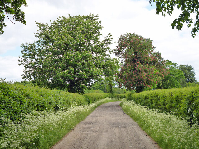
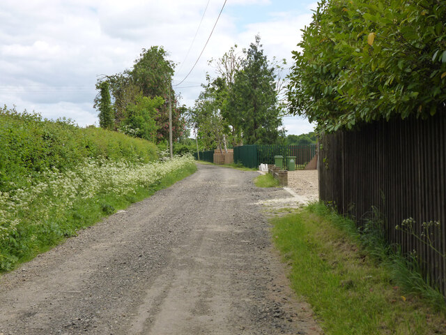
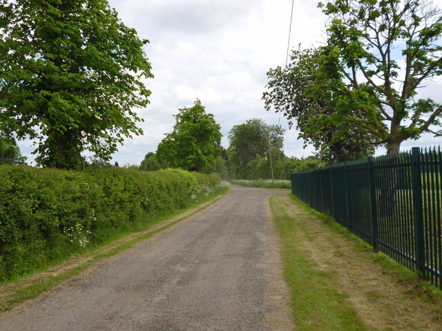
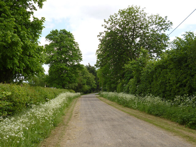
The area is predominantly residential, consisting of a mix of houses, semi-detached properties, and apartment complexes. It is highly regarded for its peaceful and green surroundings, with several parks and open spaces nearby, including Crews Hill Golf Club and Hilly Fields Park.

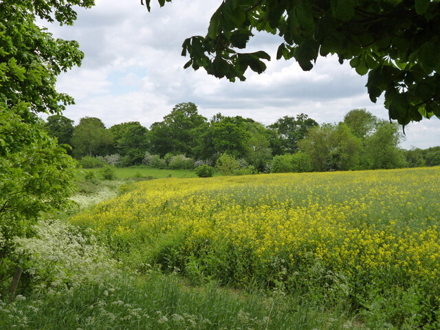
One of the defining features of Crews Hill is its reputation as a gardening and plant-centered hub. The area boasts a significant number of garden centers and nurseries, attracting visitors from all over London and beyond. These establishments offer a wide range of plants, flowers, and gardening supplies, making Crews Hill a go-to destination for gardening enthusiasts.

In addition to its horticultural offerings, Crews Hill is also home to a small selection of local shops, cafes, and restaurants, providing amenities for both residents and visitors. The area benefits from good transport links, with Crews Hill railway station providing regular services to central London and other neighboring areas.

Overall, Crews Hill offers a tranquil and picturesque setting for residents, whilst also serving as a haven for nature lovers and gardeners seeking high-quality plants and gardening supplies.

If you have any feedback on the listing, please let us know in the comments section below.
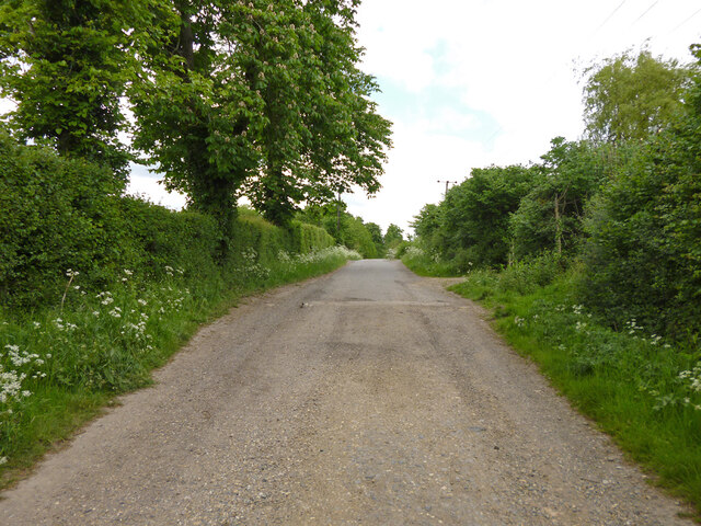
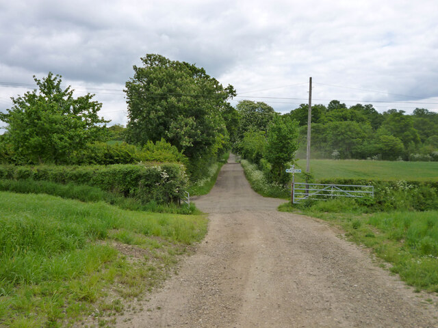
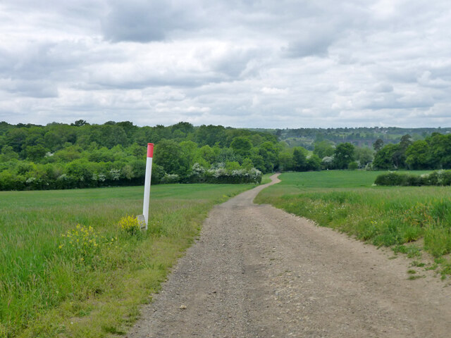
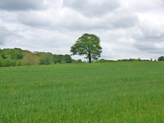
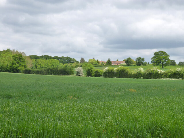
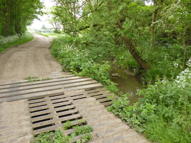
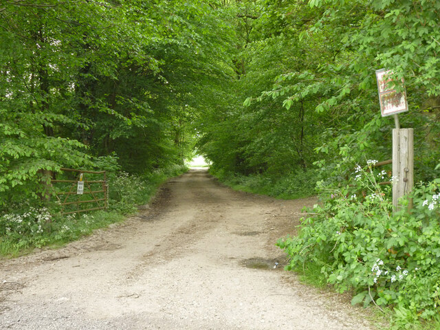
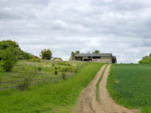
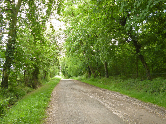
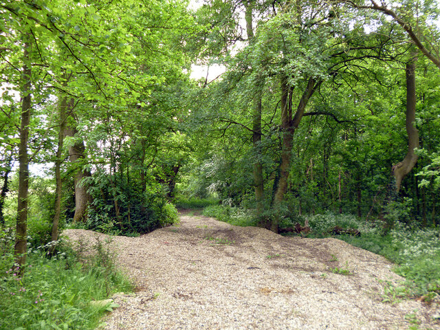
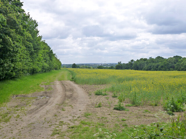
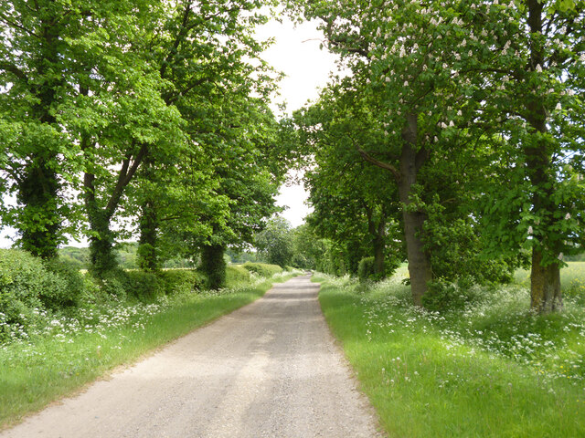
Crews Hill Images

Images are sourced within 2km of 51.681667/-0.098143 or Grid Reference TQ3199. Thanks to Geograph Open Source API. All images are credited.

Burnt Farm Ride The surface changes here, tarmac northwards, just 'mac' to the south.  Public bridleway Cheshunt 17.
Burnt Farm Ride
The surface changes here, tarmac northwards, just 'mac' to the south. Public bridleway Cheshunt 17.
Crossways south of Burnt Farm Burnt Farm Ride runs left and right, bridleway Cheshunt 17 to the left, bridleway Cheshunt 70 to the right. Straight on beyond the junction is bridleway Cheshunt 73. Viewed from footpath Cheshunt 59.
Crossways south of Burnt Farm
Burnt Farm Ride runs left and right, bridleway Cheshunt 17 to the left, bridleway Cheshunt 70 to the right. Straight on beyond the junction is bridleway Cheshunt 73. Viewed from footpath Cheshunt 59.
Farm track crosses gas pipeline The track is public footpath Cheshunt 59.
Farm track crosses gas pipeline
The track is public footpath Cheshunt 59.
Tree in field west of Burnt Farm
View over fields towards Burnt Farm
Bridge over Cuffley Brook A curious structure, looking like a cattle grid was incorporated in the bridge, and then there was a partial change of heart. Public footpath Cheshunt 59 crosses.
Bridge over Cuffley Brook
A curious structure, looking like a cattle grid was incorporated in the bridge, and then there was a partial change of heart. Public footpath Cheshunt 59 crosses.
Private track through Nursery Plantation
Barns at Burnt Farm
Barns at Burnt Farm
Bridleway Cheshunt 73 heads east A wood called Cattlins is on the right.
Bridleway Cheshunt 73 heads east
A wood called Cattlins is on the right.
Track into a wood called Cattlins At the eastern edge of the wood.
Track into a wood called Cattlins
At the eastern edge of the wood.
Field edge track by Dysons Osiers A wood called Cattlins is over to the right.
Field edge track by Dysons Osiers
A wood called Cattlins is over to the right.
Oldpark Ride Bridleway Cheshunt 73 towards Theobalds Manor.
Oldpark Ride
Bridleway Cheshunt 73 towards Theobalds Manor.
Farmland near Theobalds Manor
Oldpark Ride Bridleway Cheshunt 73 towards Theobalds Manor.
Oldpark Ride
Bridleway Cheshunt 73 towards Theobalds Manor.
Oldpark Ride by Spring Farm Bridleway Cheshunt 73 towards Theobalds Manor.
Oldpark Ride by Spring Farm
Bridleway Cheshunt 73 towards Theobalds Manor.
Oldpark Ride Bridleway Cheshunt 73 towards Theobalds Manor.
Oldpark Ride
Bridleway Cheshunt 73 towards Theobalds Manor.
Oldpark Ride Bridleway Cheshunt 73 towards Theobalds Manor.
Oldpark Ride
Bridleway Cheshunt 73 towards Theobalds Manor.
Nursery Plantation The almost illegible notices warn that this track is private: 'no public right of way' and 'please keep out'.
Nursery Plantation
The almost illegible notices warn that this track is private: 'no public right of way' and 'please keep out'.
Show me another place!

Crews Hill is located at Grid Ref: TQ3199 (Lat: 51.681667, Lng: -0.098143)

Unitary Authority: Enfield

Police Authority: Metropolitan

What 3 Words

///social.trucks.engine. Near Cuffley, Hertfordshire

Related Wikis

Crews Hill

Crews Hill is an elevated and green-buffered former hamlet grown into a small village-size community on the northern outskirts of London centred 12.3 miles...

Crews Hill railway station

Crews Hill railway station serves Crews Hill in the London Borough of Enfield, north London. It is 11 miles 40 chains (11.50 miles, 18.51 km) down the...

The Paddocks

The Paddocks, in Crews Hill, Enfield, London, is a farmhouse that is grade II* listed with Historic England. It dates from the first half of the seventeenth...

Fallow Buck Inn

The Fallow Buck Inn is a public house in Clay Hill, Enfield, and a grade II listed building with Historic England. == References == == External links ==

Nearby Amenities

Located within 500m of 51.681667,-0.098143
Ele: 53.959351
Lat/Long: 51.6792205/-0.0971261
Ele: 52.997925
Lat/Long: 51.6796873/-0.0972674
Ele: 52.997925
Lat/Long: 51.6803505/-0.097399
Ele: 48.672119
Lat/Long: 51.6834642/-0.0989971
Turning Circle
Source: Yahoo
Lat/Long: 51.6797653/-0.1040741
Bus Stop
Hail & Ride Beech Avenue
Bench: no
Naptan AtcoCode: 490003806E
Naptan Bearing: N
Naptan CommonName: Beech Avenue Crews Hill
Naptan Verified: no
Public Transport: platform
Shelter: no
Tactile Paving: no
Lat/Long: 51.6810843/-0.1022692
Bus Stop
Browns Garden Centre
Naptan AtcoCode: 490004515W
Naptan Bearing: N
Naptan CommonName: Browns Garden Centre
Naptan Verified: no
Public Transport: platform
Lat/Long: 51.6836237/-0.1035869
Bus Stop
Hail & Ride Golf Ride
Naptan AtcoCode: 490005913W
Naptan Bearing: N
Naptan CommonName: Cypress Avenue Golf Ride
Naptan Verified: no
Public Transport: platform
Lat/Long: 51.6802473/-0.1040473
Bus Stop
Crews Hill The Plough
Naptan AtcoCode: 490005763E
Naptan Bearing: N
Naptan CommonName: Crews Hill The Plough
Naptan Street: CATTLEGATE ROAD
Naptan Verified: no
Public Transport: platform
Lat/Long: 51.6836893/-0.1009689
Bus Stop
Crews Hill The Plough
Naptan AtcoCode: 490005763W
Naptan Bearing: N
Naptan CommonName: Crews Hill The Plough
Naptan Verified: no
Public Transport: platform
Lat/Long: 51.6834257/-0.1007918
Bus Stop
Hail & Ride Kings Oak Riding Stables
Naptan AtcoCode: 490008806N
Naptan Bearing: N
Naptan CommonName: Kings Oak Riding Stables
Naptan Verified: no
Public Transport: platform
Lat/Long: 51.6806587/-0.0976454
Bus Stop
Hail & Ride Kings Oak Riding Stables
Naptan AtcoCode: 490008806S
Naptan Bearing: N
Naptan CommonName: Kings Oak Riding Stables
Naptan Verified: no
Public Transport: platform
Lat/Long: 51.6805696/-0.0974102
Bus Stop
Sanders Corner
Naptan AtcoCode: 490011891S
Naptan Bearing: N
Naptan CommonName: Sanders Corner
Naptan Street: THEOBALDS PARK ROAD
Naptan Verified: no
Public Transport: platform
Lat/Long: 51.6826333/-0.0984352
Bus Stop
Hail & Ride Rosewood Drive
Naptan AtcoCode: 490011707W
Naptan Bearing: N
Naptan CommonName: Rosewood Drive
Naptan Verified: no
Public Transport: platform
Lat/Long: 51.681053/-0.0994264
Bus Stop
Hail & Ride Wildwood
Naptan AtcoCode: 490014685N
Naptan Bearing: N
Naptan CommonName: Wildwood
Naptan Verified: no
Public Transport: platform
Lat/Long: 51.677954/-0.0965538
Bus Stop
Hail & Ride Ash Ride / Rosewood Drive
Bench: no
Naptan AtcoCode: 490018753W
Naptan Bearing: W
Naptan CommonName: Ash Ride Rosewood Drive
Naptan Indicator: Stop
Naptan Verified: no
Public Transport: platform
Shelter: no
Tactile Paving: no
Lat/Long: 51.6808173/-0.1008691
Bus Stop
Whitewebbs Road
Naptan AtcoCode: 490014611N
Naptan Bearing: N
Naptan CommonName: Whitewebbs Road
Naptan Verified: no
Public Transport: platform
Lat/Long: 51.6824611/-0.0986585
Whitewebbs Museum of Transport
Addr Postcode: EN2 9HW
Addr Street: Whitewebbs Road
Museum: transport
Tourism: museum
Website: https://www.whitewebbsmuseum.co.uk/
Lat/Long: 51.681674/-0.0949764
Turning Circle
Lat/Long: 51.6805719/-0.0995233
Crews Hill
Place: village
Population: 566
Wikidata: Q5184853
Wikipedia: en:Crews Hill
Lat/Long: 51.6812016/-0.0978916
Man Made: windmill
Mock: yes
Lat/Long: 51.6843222/-0.1031682
Barrier: lift_gate
Lat/Long: 51.6837843/-0.1036792
Bus Stop
Hail & Ride Theobalds Park Road
Naptan AtcoCode: 490012742Z
Naptan NaptanCode: 98127
Public Transport: platform
Lat/Long: 51.6791565/-0.097181
Bus Stop
Hail & Ride Theobalds Park Road
Bus: yes
Naptan AtcoCode: 490012742S
Naptan Bearing: S
Naptan CommonName: St. John's Primary School
Naptan Indicator: Stop
Naptan NaptanCode: 98126
Public Transport: platform
Lat/Long: 51.6799714/-0.0972346
Bus Stop
Hail & Ride Rosewood Drive
Bench: no
Naptan AtcoCode: 490011707E
Public Transport: platform
Shelter: no
Tactile Paving: no
Lat/Long: 51.6811953/-0.0992195
Entrance: main
Lat/Long: 51.6841272/-0.1029472
Entrance: exit
Lat/Long: 51.6843611/-0.1030577
Enfield Garden Centre
Addr Postcode: EN2 9DX
Shop: garden_centre
Website: https://britishgardencentres.com/enfield-garden-centre/
Lat/Long: 51.6841206/-0.1028273
Thompsons
Addr Postcode: EN2 9DP
Shop: garden_centre
Source: gps+mapnoter
Website: https://www.thompsonsofcrewshill.com/
Lat/Long: 51.6838479/-0.1017357
Warmerdam
Shop: garden_centre
Source: gps+mapnoter
Lat/Long: 51.6835868/-0.1042489
Flavours of Cyprus
Source: gps+mapnoter
Lat/Long: 51.6834338/-0.1022184
Kingfisher Aquatics
Addr Postcode: EN2 9DJ
Shop: pet
Source: gps+mapnoter
Lat/Long: 51.6834371/-0.1023606
Marshall K
Source: gps+mapnoter
Lat/Long: 51.6835036/-0.103227
Crews Hill Reptiles
Addr Postcode: EN2 9DJ
Shop: pet
Source: gps+mapnoter
Lat/Long: 51.6834471/-0.1024894
Post Box
Post Box Type: pillar
Ref: EN2 113
Source: gps+mapnoter
Lat/Long: 51.6813835/-0.0982171
Addr Housenumber: 8
Addr Street: Rosewood Drive
Source: gps+mapnoter
Lat/Long: 51.6810235/-0.099054
Barrier: yes
Lat/Long: 51.6798673/-0.0947879
Densheds
Shop: yes
Lat/Long: 51.684704/-0.1032758
Barrier: lift_gate
Lat/Long: 51.6837632/-0.1031193
Booth: K6
Covered: booth
Man Made: telephone_box
Lat/Long: 51.6815995/-0.0948071
The data included in this document is from www.openstreetmap.org. The data is made available under ODbL.

Have you been to Crews Hill?

Leave your review of Crews Hill below (or comments, questions and feedback).