Creswell
Settlement in Derbyshire Bolsover
England
Creswell

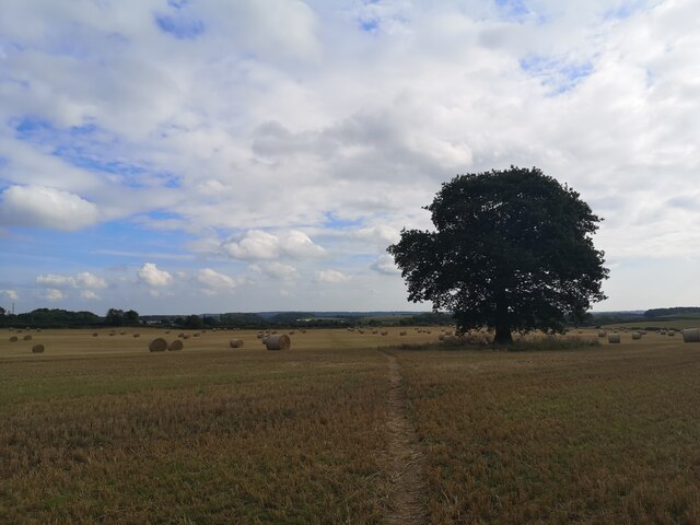
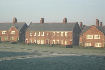
Creswell is a small village located in the county of Derbyshire, England. Situated approximately 15 miles northeast of Derby, it falls within the boundaries of the Bolsover district. With a population of around 5,700 residents, Creswell is a close-knit community known for its picturesque surroundings and rich history.
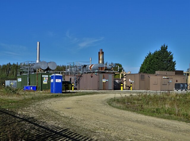
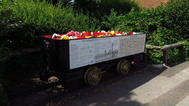
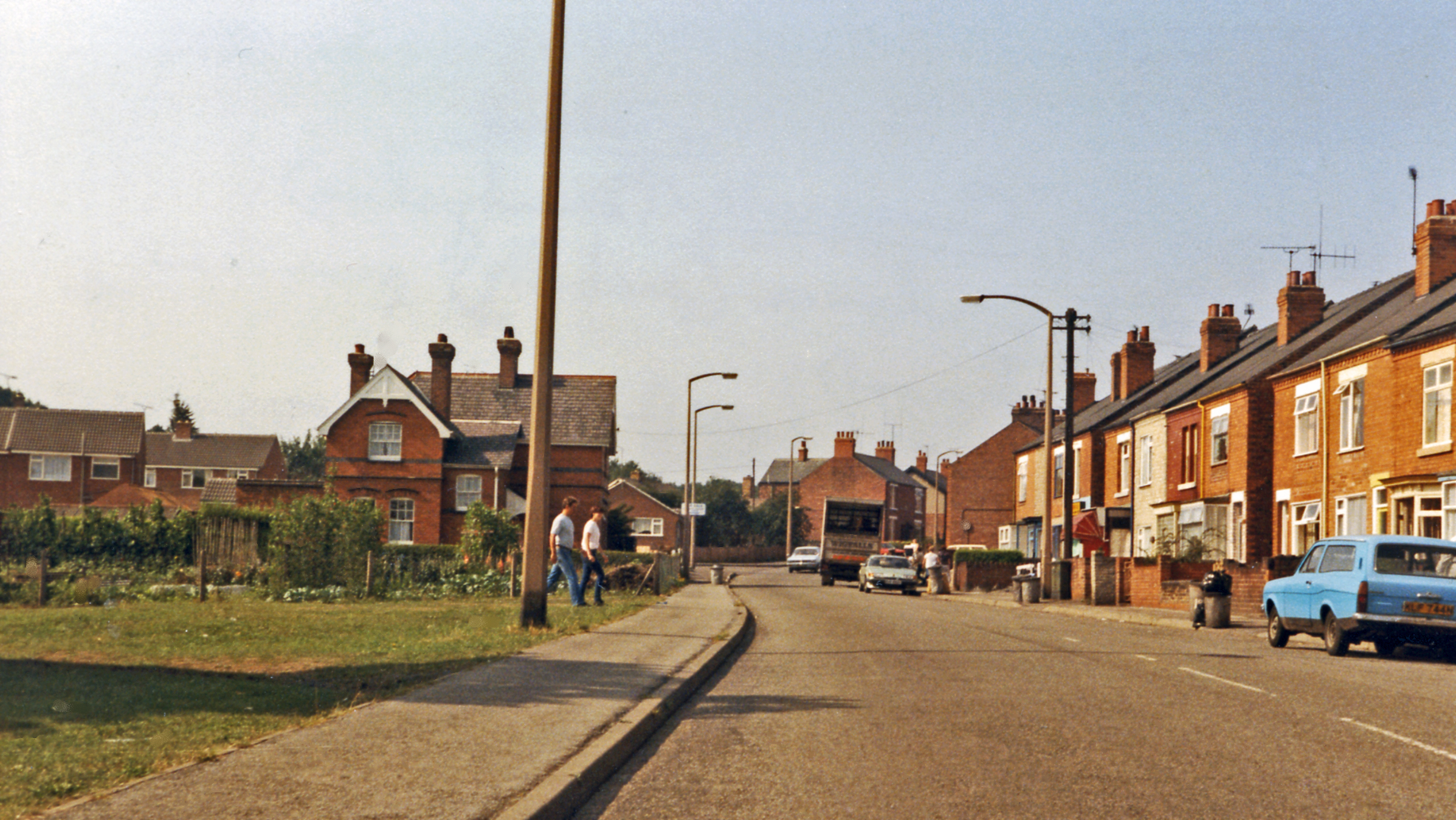
The village is nestled in the heart of the Nottinghamshire and Derbyshire coalfield, an area historically renowned for its coal mining industry. Creswell Colliery, once a major employer in the region, closed in 1991, marking the end of an era for the village. Today, the colliery site has been transformed into Creswell Crags, an internationally significant limestone gorge and cave complex that attracts visitors from far and wide.
Creswell offers a range of amenities for its residents, including a primary school, a medical center, and several local shops and businesses. The village is well-connected, with regular bus services providing links to nearby towns and cities.
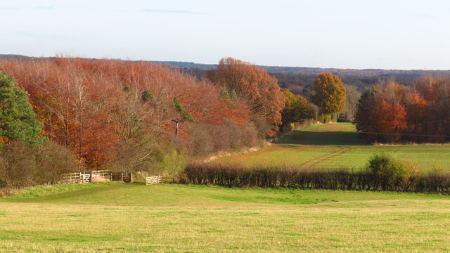
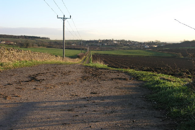
Nature enthusiasts are drawn to Creswell for its stunning countryside, with the nearby Peak District National Park offering countless opportunities for hiking, cycling, and exploring the great outdoors. In addition to Creswell Crags, attractions such as Hardwick Hall and Bolsover Castle are within easy reach, adding to the area's appeal for history buffs.
Overall, Creswell is a charming village that combines its industrial heritage with natural beauty, providing a peaceful and welcoming place to live or visit.
If you have any feedback on the listing, please let us know in the comments section below.
Creswell Images
Images are sourced within 2km of 53.265408/-1.210889 or Grid Reference SK5274. Thanks to Geograph Open Source API. All images are credited.


Creswell is located at Grid Ref: SK5274 (Lat: 53.265408, Lng: -1.210889)
Administrative County: Derbyshire
District: Bolsover
Police Authority: Derbyshire
What 3 Words
///concluded.highly.cries. Near Creswell, Derbyshire
Nearby Locations
Related Wikis
Creswell, Derbyshire
Creswell is a former mining village located in the Bolsover district of Derbyshire, England. At the 2011 Census population details were included in the...
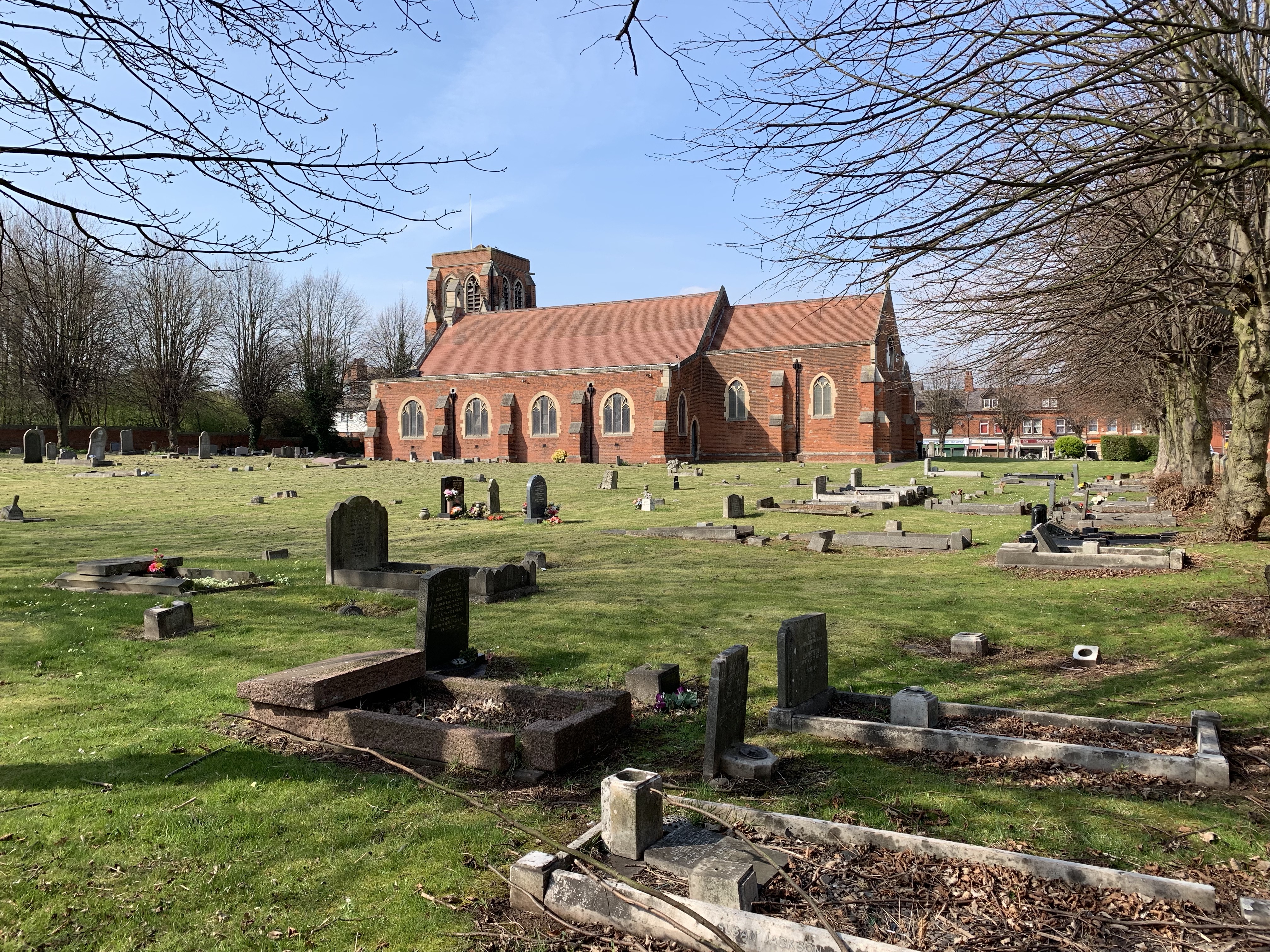
St Mary Magdalene's Church, Creswell
St Mary Magdalene's Church, Creswell is a Grade II listed parish church in the Church of England in Creswell, Derbyshire. == History == The foundation...
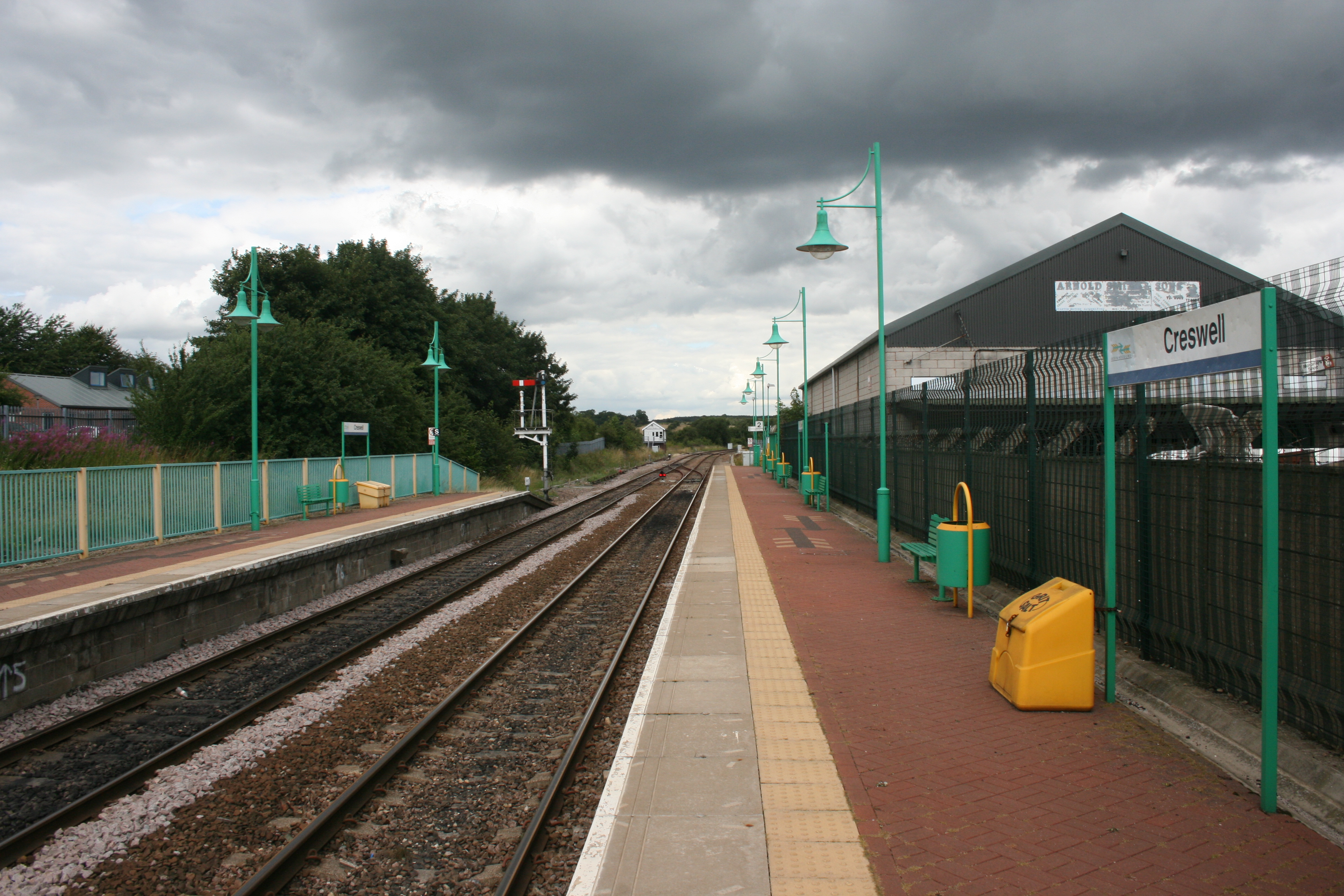
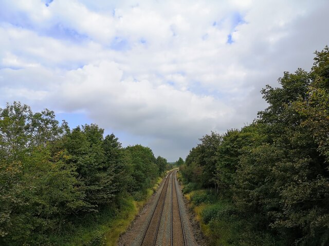
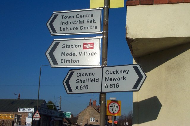
Creswell railway station
Creswell railway station serves the village Creswell in Derbyshire, England. The station is on the Robin Hood Line between Nottingham and Worksop. It is...
Creswell Model Village
Creswell Model Village is an arts and crafts style model village in the village of Creswell, Derbyshire, England. The pit village was built in 1895 by...
Elmton with Creswell
Elmton with Creswell is a civil parish in the Bolsover district in Derbyshire, England. It covers the villages of Elmton, Creswell and Creswell Model Village...
Creswell and Welbeck railway station
Creswell and Welbeck railway station used to serve the village of Creswell, in north eastern Derbyshire, England. == See also == Three stations have included...

Creswell Crags
Creswell Crags is an enclosed limestone gorge on the border between Derbyshire and Nottinghamshire, England, near the villages of Creswell and Whitwell...
Bakestone Moor
Bakestone Moor is an area of settlement in Derbyshire, England. It is located on the west side of Whitwell.
Nearby Amenities
Located within 500m of 53.265408,-1.210889Have you been to Creswell?
Leave your review of Creswell below (or comments, questions and feedback).