Peter's Plantation
Wood, Forest in Northumberland
England
Peter's Plantation
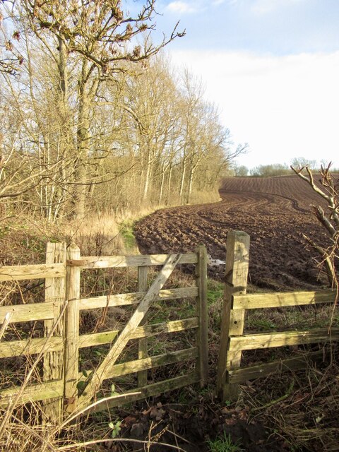
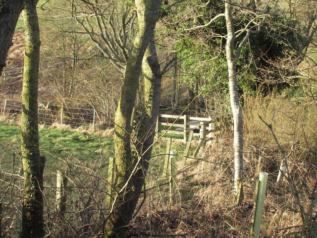
Peter's Plantation is a picturesque woodland located in Northumberland, England. Covering a vast area, it is a haven for nature enthusiasts and those seeking tranquility amidst the beauty of the countryside. The plantation is known for its dense forest, comprising a variety of trees including oak, beech, and pine.
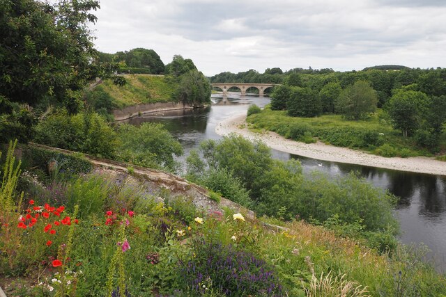
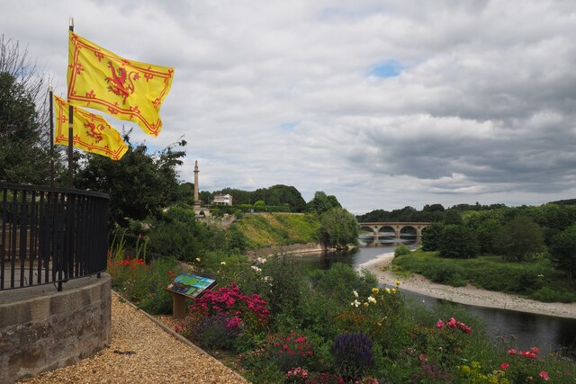
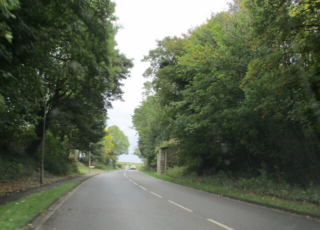
The woodland is crisscrossed by numerous walking trails, allowing visitors to explore its natural wonders at their own pace. These trails offer breathtaking views of the surrounding landscape and are dotted with benches, providing opportunities for relaxation and contemplation. A small river runs through the plantation, adding to its charm and providing a habitat for various aquatic species.
Peter's Plantation is also home to a rich diversity of wildlife. Visitors may spot deer, squirrels, and a wide range of bird species, including woodpeckers and owls. The plantation's management prioritizes conservation efforts, ensuring the preservation of the ecosystem and the protection of its inhabitants.
In addition to its natural beauty, Peter's Plantation offers amenities for visitors' convenience. A visitor center provides information about the woodland's history, flora, and fauna. There are picnic areas with tables and shelters where families and friends can enjoy a meal amidst the peaceful surroundings.
Whether one seeks a peaceful stroll, a chance to observe wildlife, or simply a moment of solitude in nature, Peter's Plantation in Northumberland offers a captivating experience. Its enchanting forest, scenic trails, and abundant wildlife make it a must-visit destination for nature lovers and those in search of tranquility in the heart of the English countryside.
If you have any feedback on the listing, please let us know in the comments section below.
Peter's Plantation Images
Images are sourced within 2km of 55.655349/-2.2380086 or Grid Reference NT8540. Thanks to Geograph Open Source API. All images are credited.


Peter's Plantation is located at Grid Ref: NT8540 (Lat: 55.655349, Lng: -2.2380086)
Unitary Authority: Northumberland
Police Authority: Northumbria
What 3 Words
///digitally.swarm.blurs. Near Coldstream, Scottish Borders
Nearby Locations
Related Wikis

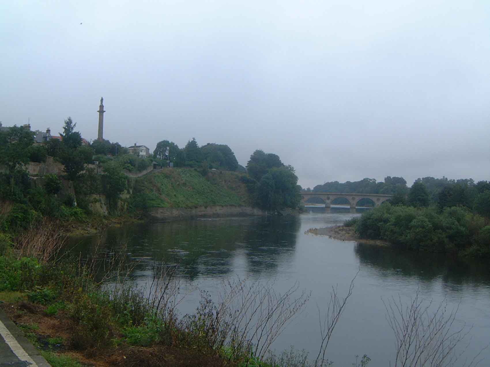
Coldstream Bridge
Coldstream Bridge, linking Coldstream, Scottish Borders with Cornhill-on-Tweed, Northumberland, is an 18th-century Category A/Grade II* listed bridge between...
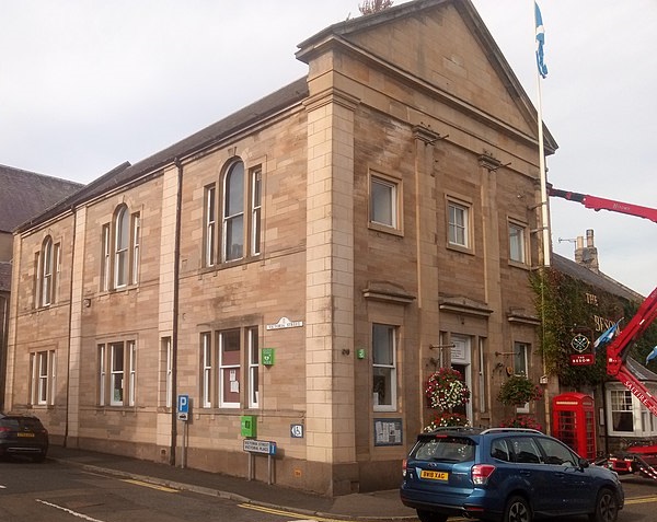
Coldstream Town Hall
Coldstream Town Hall is a municipal building in the High Street, Coldstream, Scottish Borders, Scotland. The structure, which currently accommodates a...
Coldstream
Coldstream (Scottish Gaelic: An Sruthan Fuar) is a town and civil parish in the Scottish Borders area of Scotland. A former burgh, Coldstream is the home...
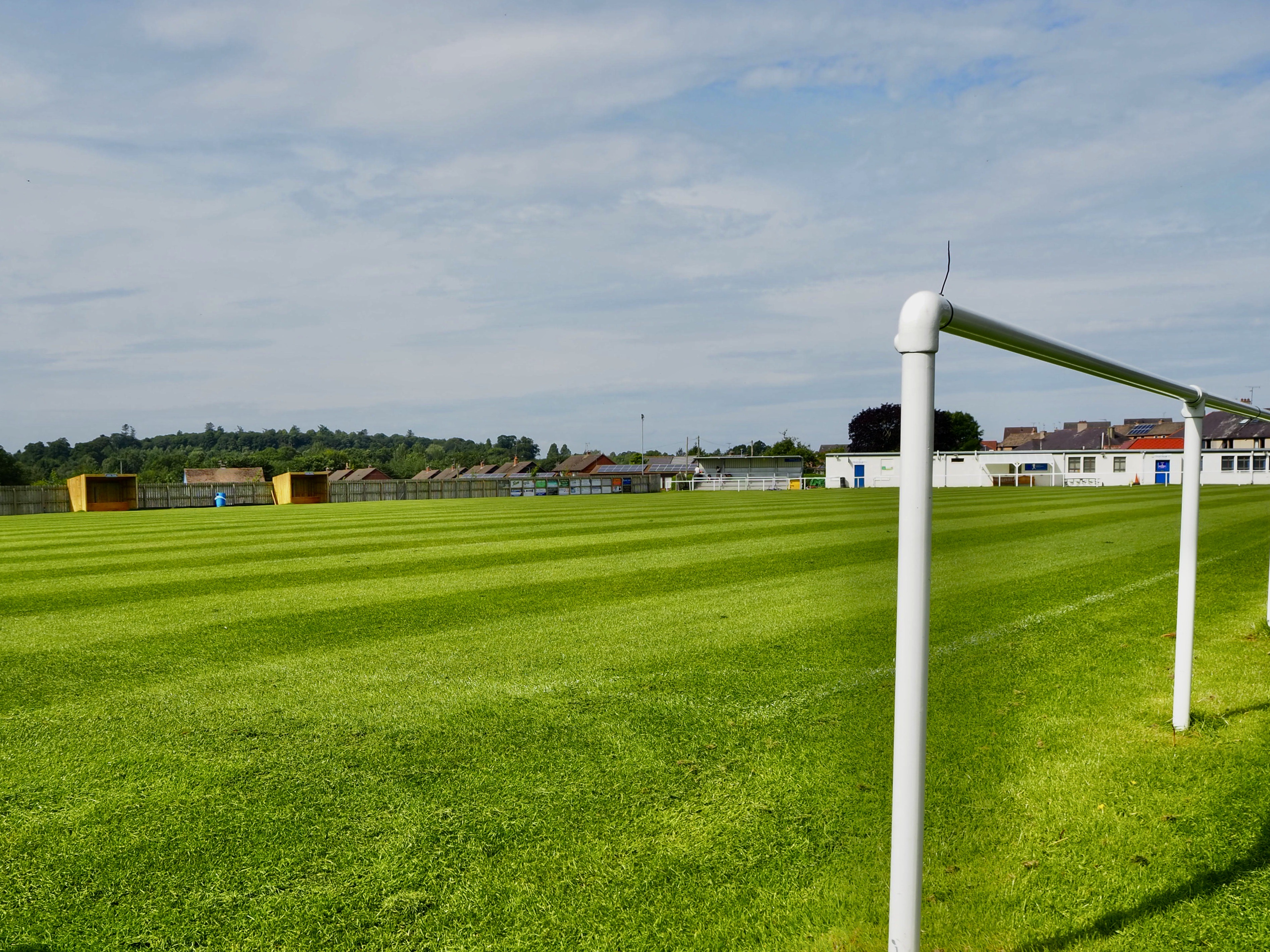
Coldstream F.C.
Coldstream Football Club is a Scottish football club from the town of Coldstream in the Scottish Borders. Formed in 1895, the club is one of the founder...

Coldstream railway station
Coldstream railway station served the town of Coldstream in Berwickshire, Scotland although the station was across the River Tweed in Northumberland, England...
Cornhill-on-Tweed
Cornhill-on-Tweed is a small village and civil parish in Northumberland, England about 1 mile (1.6 km) to the east of Coldstream, Scotland. The hamlets...

Coldstream Cottage Hospital
Coldstream Cottage Hospital was a community hospital located at Coldstream in Scotland. It was managed by NHS Borders. == History == The hospital was established...

The Hirsel
The Hirsel is a Category A Listed stately home near Coldstream, Berwickshire in the Scottish Borders council area. It has been a seat of the Earls of Home...
Nearby Amenities
Located within 500m of 55.655349,-2.2380086Have you been to Peter's Plantation?
Leave your review of Peter's Plantation below (or comments, questions and feedback).