Talbotshill Coppice
Wood, Forest in Worcestershire Wyre Forest
England
Talbotshill Coppice
Talbotshill Coppice is a picturesque woodland located in Worcestershire, England. Spanning over an area of approximately 100 acres, this enchanting forest is a popular destination for nature lovers and outdoor enthusiasts alike.
The coppice is predominantly made up of a diverse range of deciduous trees, including oak, ash, and beech, which create a vibrant and ever-changing landscape throughout the seasons. The dense canopy provides a haven for a variety of wildlife, such as birds, squirrels, and deer, making it a perfect spot for birdwatching and animal spotting.
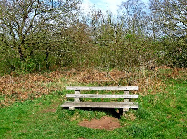
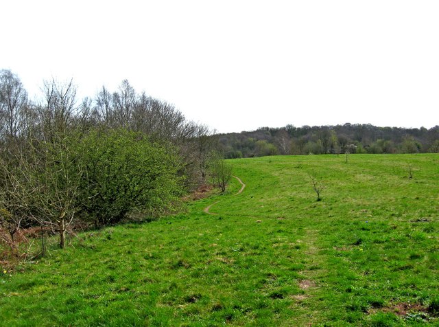
Walking through Talbotshill Coppice is a serene and tranquil experience. The well-maintained footpaths wind their way through the woodland, allowing visitors to explore the different sections and discover hidden gems along the way. The forest floor is carpeted with a rich tapestry of wildflowers, adding bursts of color to the green surroundings.
For those seeking a more adventurous outing, the coppice offers several designated mountain biking trails that cater to different skill levels. These trails meander through the forest, providing an exhilarating ride while being surrounded by the beauty of nature.
Talbotshill Coppice also holds great historical significance. It is believed to have been a source of timber for the local community dating back centuries. The remnants of old charcoal hearths can still be found within the woodland, serving as a reminder of its past.
Overall, Talbotshill Coppice is a captivating woodland that offers a peaceful retreat from the busyness of everyday life. With its diverse flora and fauna, well-maintained paths, and historical charm, it is a must-visit destination for anyone looking to connect with nature in Worcestershire.
If you have any feedback on the listing, please let us know in the comments section below.
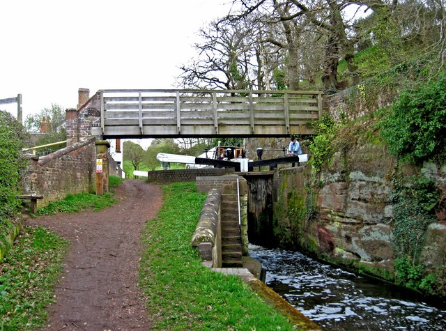
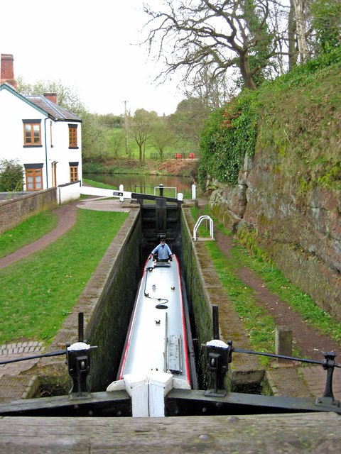
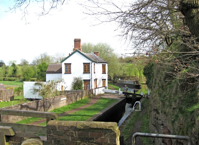
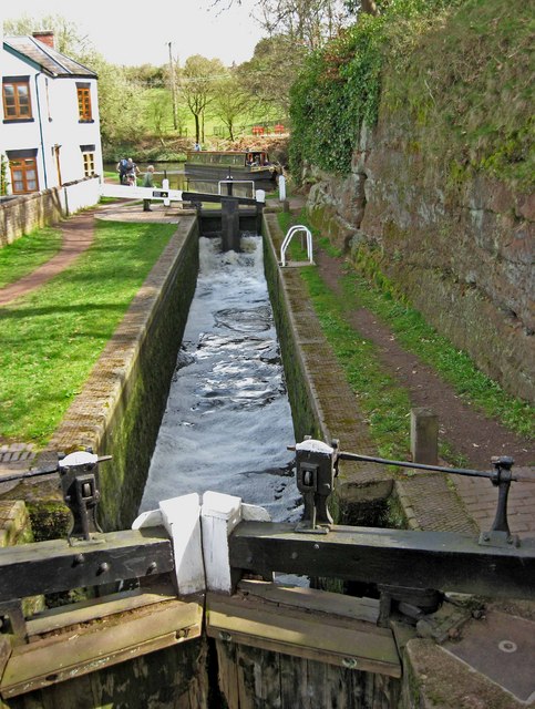
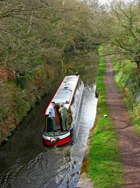
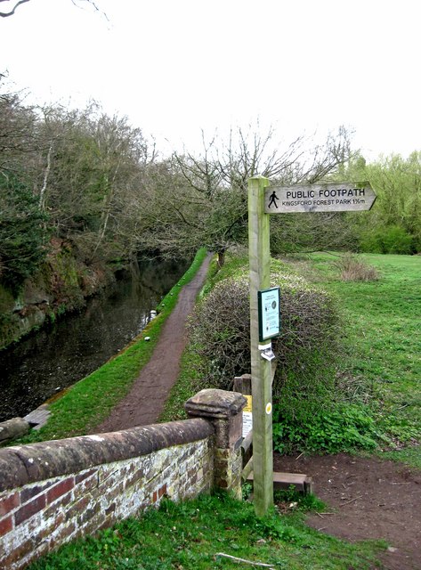
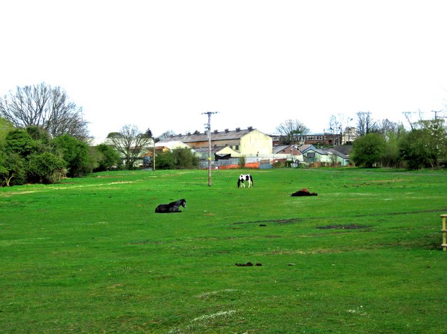
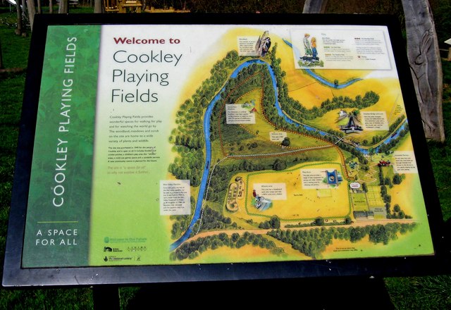
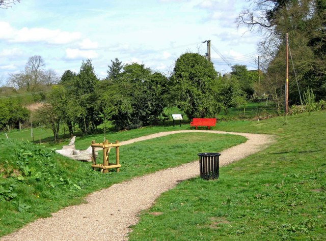
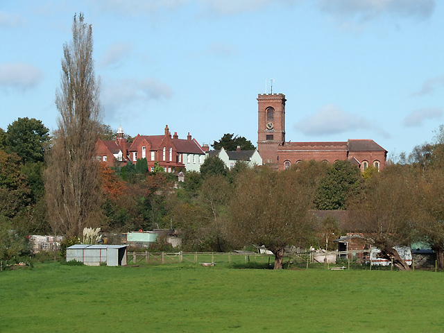
Talbotshill Coppice Images
Images are sourced within 2km of 52.413248/-2.2207044 or Grid Reference SO8579. Thanks to Geograph Open Source API. All images are credited.
Talbotshill Coppice is located at Grid Ref: SO8579 (Lat: 52.413248, Lng: -2.2207044)
Administrative County: Worcestershire
District: Wyre Forest
Police Authority: West Mercia
What 3 Words
///window.unions.sang. Near Kidderminster, Worcestershire
Nearby Locations
Related Wikis

Axborough
Axborough is a low wooded hill east of Cookley in north Worcestershire, England. == History == Its Saxon name meant hassock grass barrow. This does not...
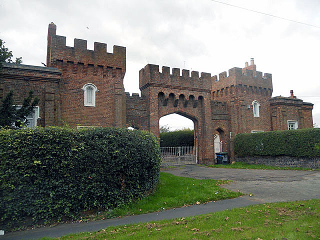
Lea Castle, England
Lea Castle is a ruined Grade II listed Neo Gothic mock castle mansion near Wolverley, England. == History == Lea Castle was built by Edward Knight in 1762...

Cookley
Cookley is a village in the Wyre Forest District of Worcestershire, England, a few miles to the north of Kidderminster. Also, a few miles south-west of...

Caunsall
Caunsall is a hamlet in Worcestershire, England a few miles to the north of Kidderminster and close to the villages of Kinver, Cookley and Wolverley. It...
Wolverley
Wolverley is a village; with nearby Cookley (1 mi northeast), it forms a civil parish in the Wyre Forest District of Worcestershire, England. It is 2 miles...

Heathfield Knoll School
Heathfield Knoll School and First Steps Day Nursery is a small, independent, non-denominational day school and day nursery in Wolverley, near Kidderminster...
Wolverley Church of England Secondary School
Wolverley CofE Secondary School is located in the village of Wolverley, near Kidderminster in Worcestershire, England. The mixed gender school has approximately...

Blakeshall
Blakeshall is a hamlet in Worcestershire, England. It is one of the ancient townships of the manor of Wolverley, whose extent was similar to that of the...
Nearby Amenities
Located within 500m of 52.413248,-2.2207044Have you been to Talbotshill Coppice?
Leave your review of Talbotshill Coppice below (or comments, questions and feedback).