Union Gorse Covert
Wood, Forest in Gloucestershire Cotswold
England
Union Gorse Covert
Union Gorse Covert is a woodland area located in Gloucestershire, England. It is part of the larger Forest of Dean, which is known for its ancient woodlands and diverse wildlife. The woodland covers an area of approximately 200 acres and is a mix of broadleaf and coniferous trees.
The woodland is home to a variety of tree species including oak, beech, ash, and pine. These trees create a rich and diverse habitat for many animal species. Visitors to Union Gorse Covert may encounter deer, badgers, foxes, and a wide range of bird species such as woodpeckers, owls, and thrushes.
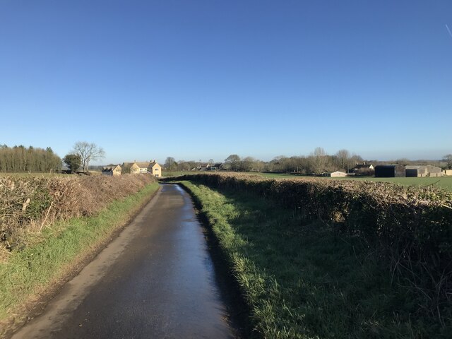
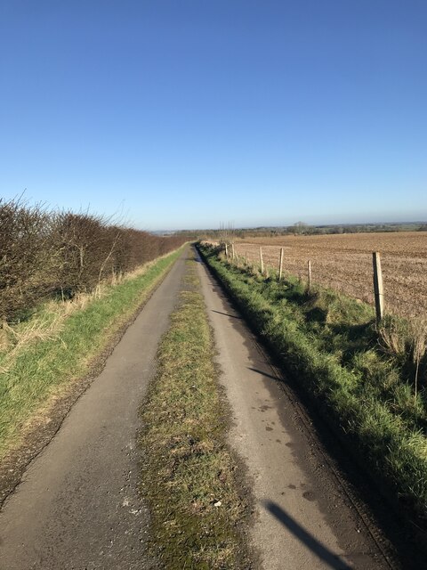
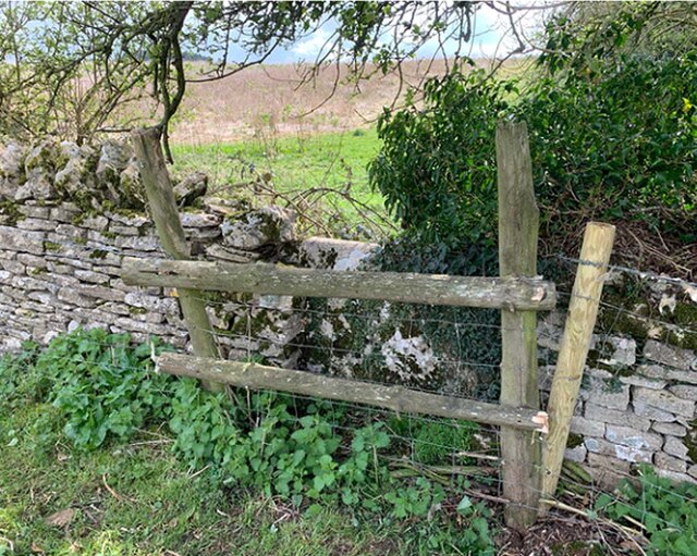
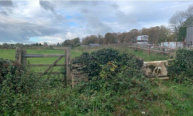
The woodland is intersected by several footpaths, allowing visitors to explore and appreciate the natural beauty of the area. These paths wind through the trees, providing opportunities for peaceful walks and nature observation. Additionally, the woodland is also popular among cyclists and horse riders, who can enjoy the scenic routes and the challenge of the hilly terrain.
Union Gorse Covert is managed by the Forestry Commission, which aims to maintain the ecological balance and promote sustainable forestry practices. The woodland is periodically thinned to ensure the health of the trees and create space for new growth. This management approach also helps to create a diverse range of habitats and encourages the growth of native flora.
Overall, Union Gorse Covert is a picturesque woodland area within the Forest of Dean, offering visitors a chance to immerse themselves in nature and enjoy the tranquility of this ancient forest.
If you have any feedback on the listing, please let us know in the comments section below.
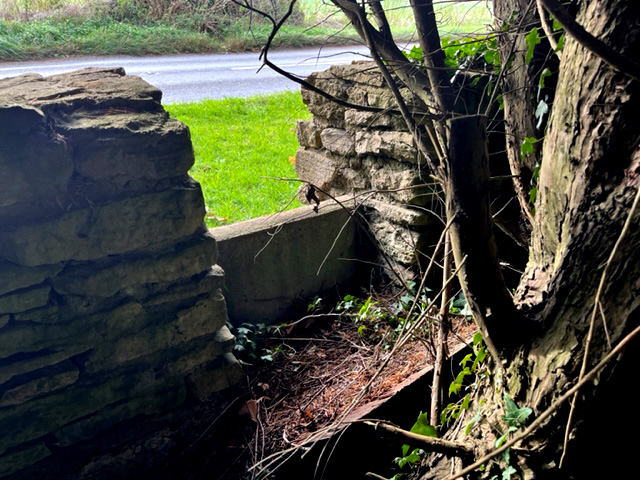
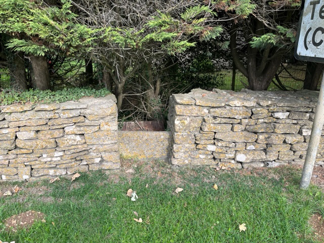
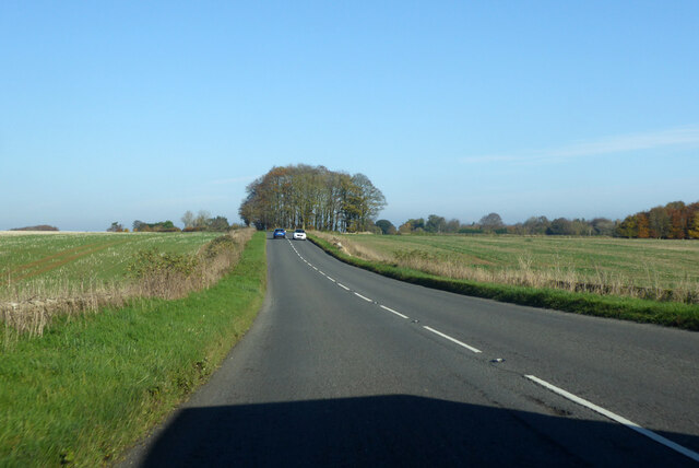
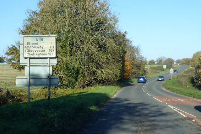
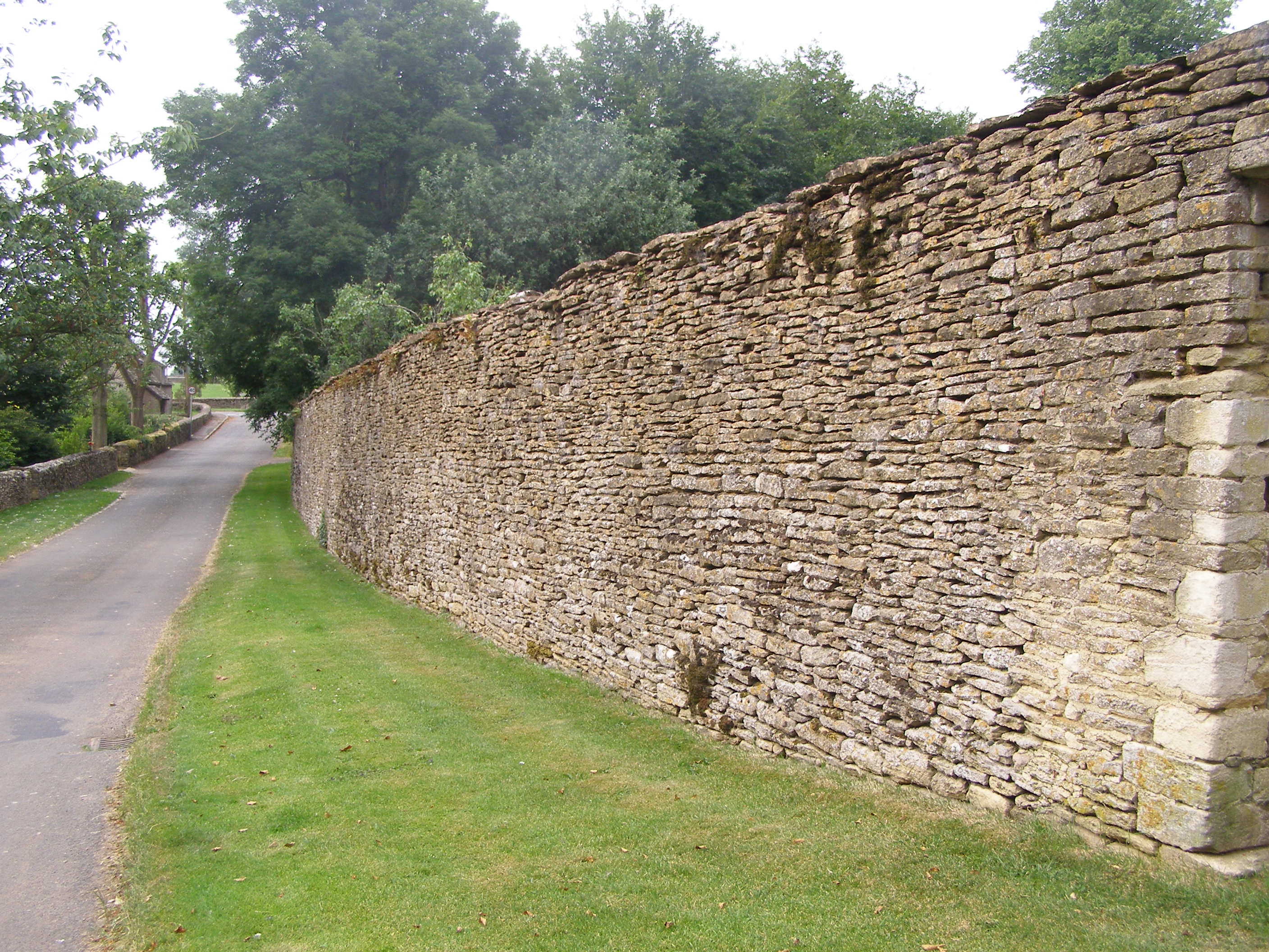
Union Gorse Covert Images
Images are sourced within 2km of 51.65572/-2.2171457 or Grid Reference ST8595. Thanks to Geograph Open Source API. All images are credited.


Union Gorse Covert is located at Grid Ref: ST8595 (Lat: 51.65572, Lng: -2.2171457)
Administrative County: Gloucestershire
District: Cotswold
Police Authority: Gloucestershire
What 3 Words
///submerge.maddening.summer. Near Tetbury, Gloucestershire
Nearby Locations
Related Wikis

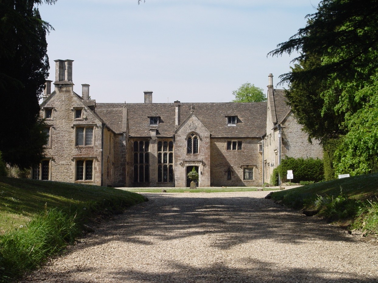
Calcot Manor
Calcot Manor is a historic building in Calcot, three and a half miles west of Tetbury on A 4135 in Gloucestershire, England, near the junction of roads...

RAF Babdown Farm
Royal Air Force Babdown Farm or more simply RAF Babdown Farm is a former Royal Air Force relief landing ground located 2.9 miles (4.7 km) west of Tetbury...

St Mary's Church, Beverston
The Church of Saint Mary the Virgin is the parish church of Beverston, Gloucestershire, England, and a Grade II* listed building. The church is of Norman...

Beverston Castle
Beverston Castle, also known as Beverstone Castle or Tetbury Castle, was constructed as a medieval stone fortress in the village of Beverston, Gloucestershire...
Beverston
Beverston is a village and civil parish in the Cotswold district of Gloucestershire, England. According to the 2001 census it had a population of 132,...
Chavenage House
Chavenage House, Beverston, Gloucestershire is a country house dating from the late 16th century. The house was built in 1576 and is constructed of Cotswold...

Barton End
Barton End is a village just south of Nailsworth, Gloucestershire, England.

Kingscote and Horsley Woods
Kingscote and Horsley Woods (grid reference ST831971) is a 43.79-hectare (108.2-acre) biological Site of Special Scientific Interest in Gloucestershire...
Nearby Amenities
Located within 500m of 51.65572,-2.2171457Have you been to Union Gorse Covert?
Leave your review of Union Gorse Covert below (or comments, questions and feedback).