Old Plantation
Wood, Forest in Staffordshire South Staffordshire
England
Old Plantation
Old Plantation is a picturesque woodland located in the county of Staffordshire, England. This enchanting forest covers an area of approximately 100 acres and is home to a diverse range of flora and fauna. The woodland is situated near the small village of Wood, providing a tranquil escape from the hustle and bustle of nearby towns.
The forest boasts a rich history that dates back centuries. It was once part of a larger estate owned by the local aristocracy, and remnants of this past can still be seen today, including the remains of an old manor house. The area is steeped in folklore and has a mysterious charm that captivates visitors.
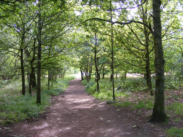
Old Plantation is characterized by its dense canopy of towering oak, beech, and birch trees. The forest floor is adorned with a carpet of vibrant wildflowers, creating a breathtaking spectacle during the spring and summer months. The woodland is also home to a variety of wildlife, such as deer, foxes, and numerous species of birds.
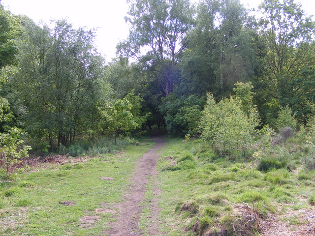
Visitors can explore Old Plantation through a network of well-maintained walking trails. These trails wind their way through the forest, offering glimpses of hidden ponds, ancient stone walls, and secluded glades. Nature enthusiasts can immerse themselves in the peaceful ambiance, taking in the sights and sounds of this verdant oasis.
Old Plantation, Staffordshire (Wood, Forest) is a haven for those seeking solace in nature. Its idyllic setting, combined with its historical significance and abundant wildlife, makes it a must-visit destination for both locals and tourists alike.
If you have any feedback on the listing, please let us know in the comments section below.
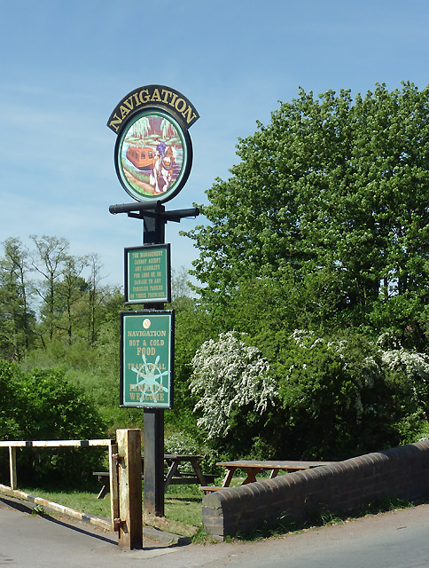
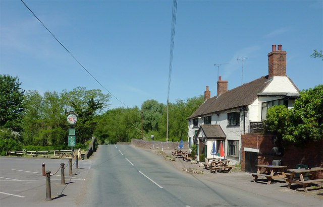
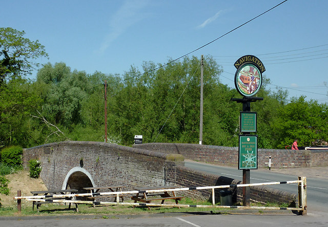
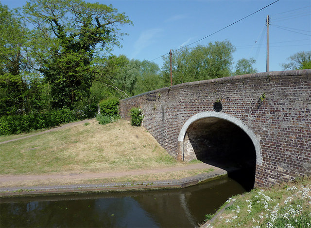
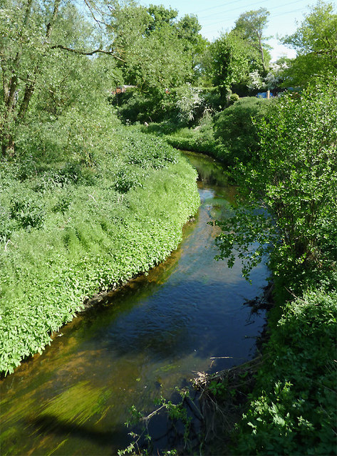
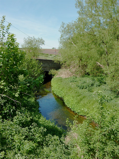
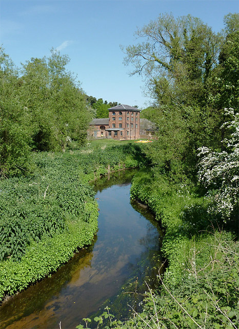
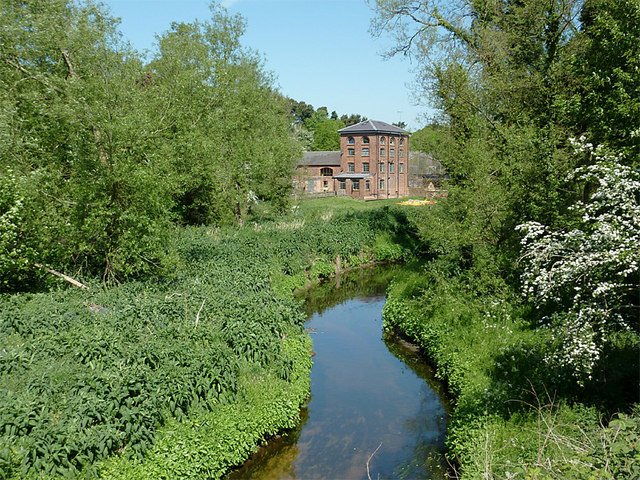
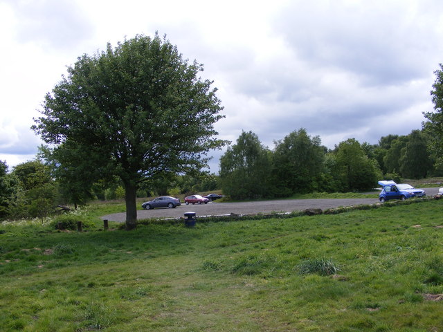
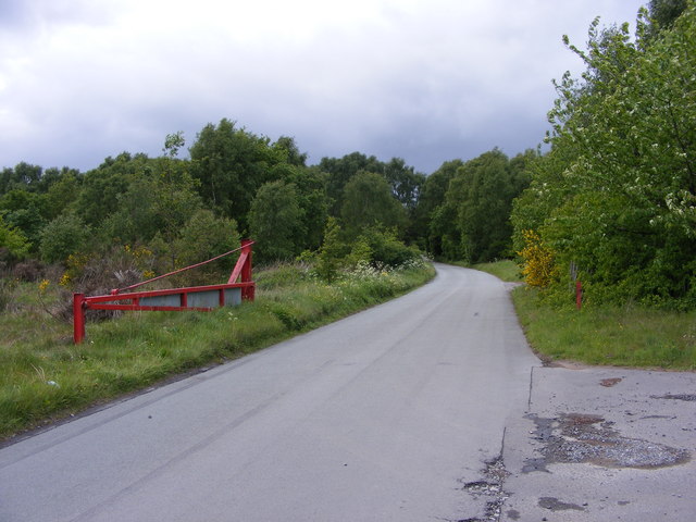
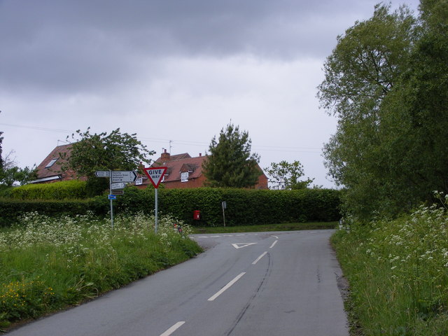
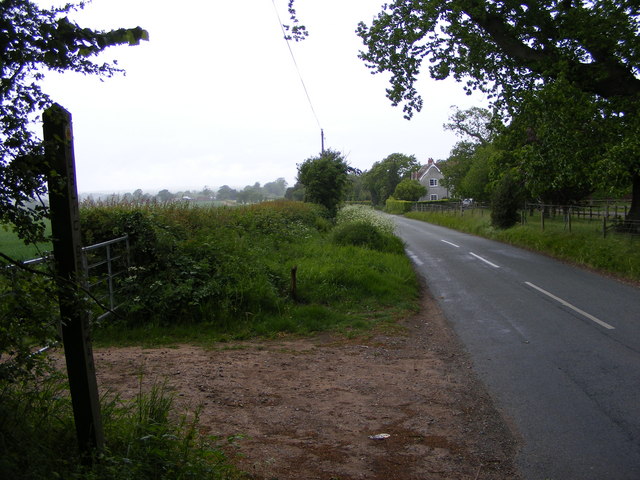
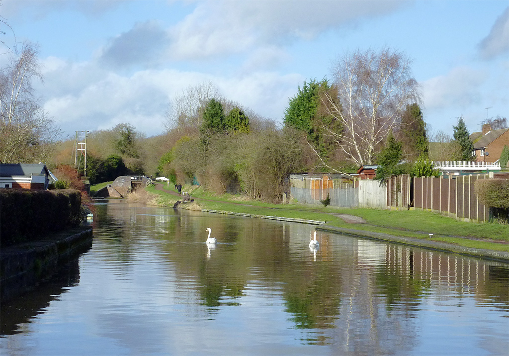
Old Plantation Images
Images are sourced within 2km of 52.508517/-2.224217 or Grid Reference SO8490. Thanks to Geograph Open Source API. All images are credited.


Old Plantation is located at Grid Ref: SO8490 (Lat: 52.508517, Lng: -2.224217)
Administrative County: Staffordshire
District: South Staffordshire
Police Authority: Staffordshire
What 3 Words
///orbited.snack.finer. Near Wombourn, Staffordshire
Nearby Locations
Related Wikis

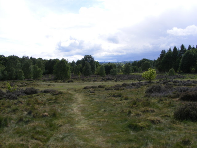
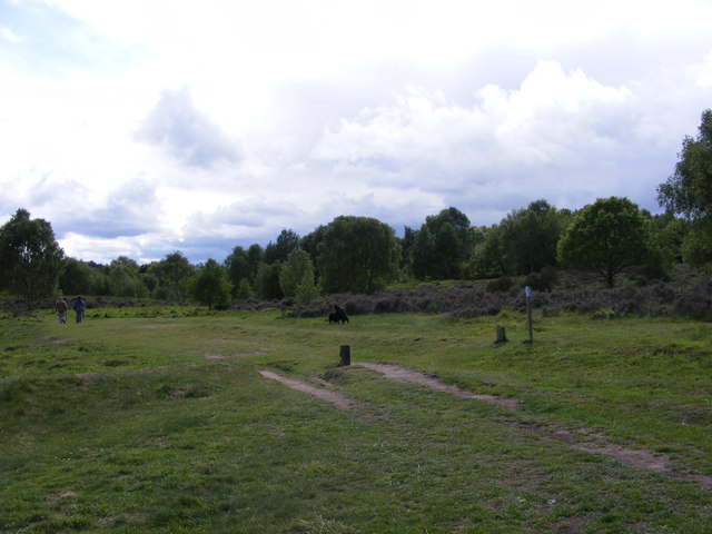
Highgate Common
Highgate Common is a Staffordshire Wildlife Trust reserve containing a mix of heathland and woodland. It is about 116 hectares or 286 acres in size. The...
Swindon, Staffordshire
Swindon is a village and civil parish located in the district of South Staffordshire, in the county of Staffordshire, England. It is 6 miles (6 km) west...

Greensforge
Greensforge is a scattered hamlet on the boundary of Kinver and Swindon parishes, in South Staffordshire, England. It is noted for its Roman associations...

Wolverhampton Airport
Wolverhampton Halfpenny Green Airport (ICAO: EGBO), formerly Halfpenny Green Airport and Wolverhampton Business Airport, locally Bobbington Airport, is...
Nearby Amenities
Located within 500m of 52.508517,-2.224217Have you been to Old Plantation?
Leave your review of Old Plantation below (or comments, questions and feedback).