Square Covert

Wood, Forest in Staffordshire South Staffordshire

England

Square Covert

Enville windmill The tower mill on the edge of Enville Common built in 1800-1801 remained in use until 1870. The mill had four sails, boat cap and fantail. Little remains inside the shell except for sections of the turning ring for the boat cap. 

See <span class="nowrap"><a title="http://www.search.staffspasttrack.org.uk/engine/resource/default.asp?resource=11298" rel="nofollow ugc noopener" href="http://www.search.staffspasttrack.org.uk/engine/resource/default.asp?resource=11298">Link</a><img style="margin-left:2px;" alt="External link" title="External link - shift click to open in new window" src="https://s1.geograph.org.uk/img/external.png" width="10" height="10"/></span>
Enville windmill Credit: John M

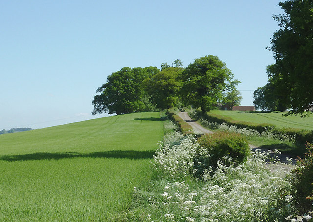
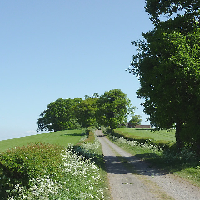
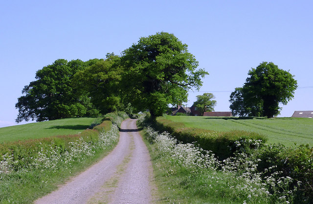
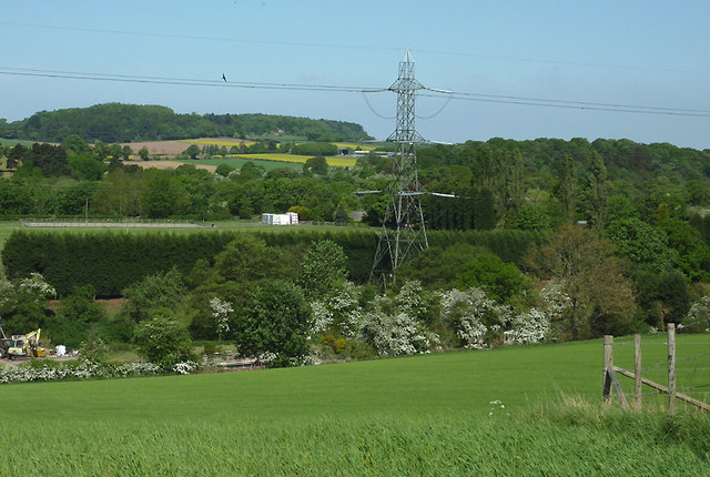
Square Covert is a small woodland located in the county of Staffordshire, England. Situated in the heart of the county, it covers an area of approximately 10 acres. The woodland is predominantly made up of mature oak and beech trees, creating a dense and vibrant forest ecosystem.

The name "Square Covert" refers to the shape of the woodland, which is roughly square in appearance. It is a popular destination for nature enthusiasts, hikers, and bird watchers due to its diverse wildlife and picturesque surroundings. The forest floor is covered with a variety of flora, including bluebells, ferns, and mosses, providing a beautiful carpet of greenery.

The woodland is home to a range of animal species, including squirrels, foxes, and a wide variety of birds such as woodpeckers, owls, and thrushes. It is also a habitat for several rare and protected species, including the European tree frog and the great crested newt.

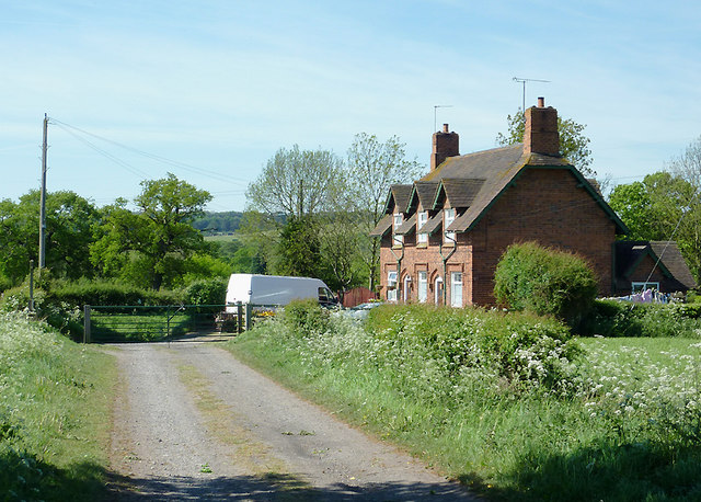
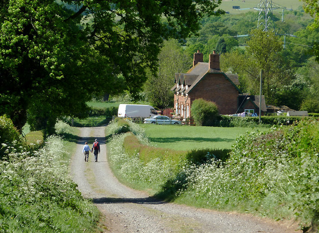
Square Covert is maintained by the local council, ensuring that the woodland remains accessible and well-preserved for visitors to enjoy. There are well-marked walking trails throughout the forest, allowing visitors to explore its beauty at their own pace. The peaceful and tranquil atmosphere of Square Covert makes it an ideal place for individuals looking to escape the hustle and bustle of city life.

Overall, Square Covert in Staffordshire is a charming woodland retreat, offering a rich biodiversity and a tranquil environment for nature enthusiasts and those seeking a peaceful escape in the heart of England.

If you have any feedback on the listing, please let us know in the comments section below.

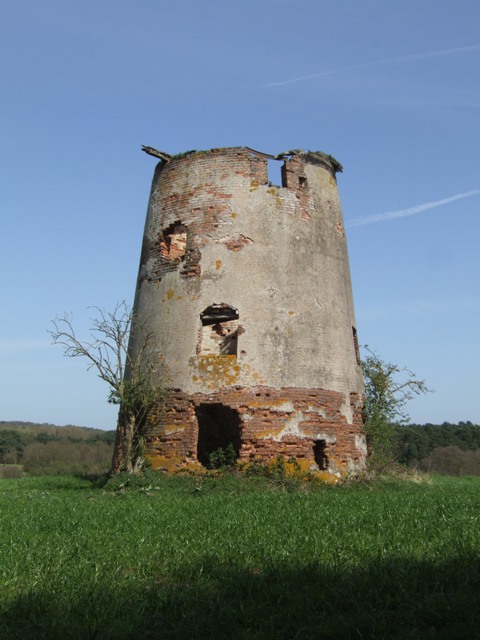
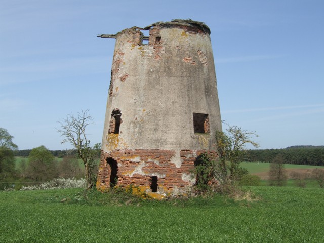
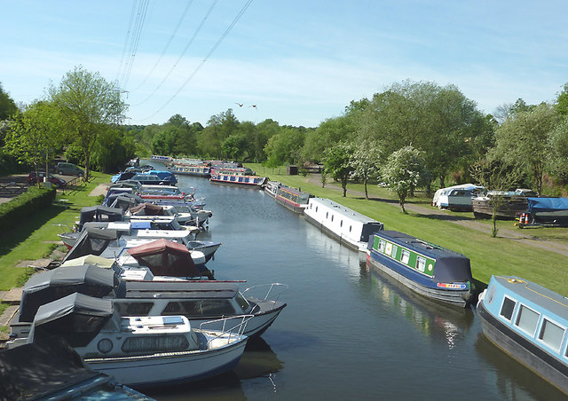
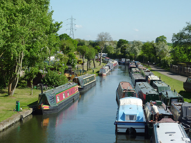
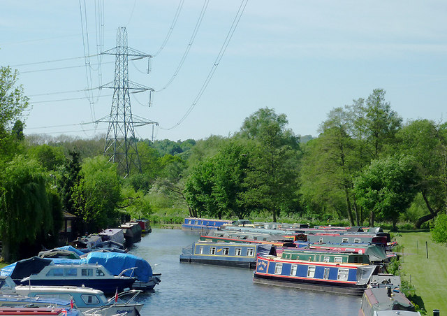
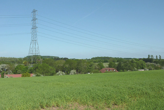
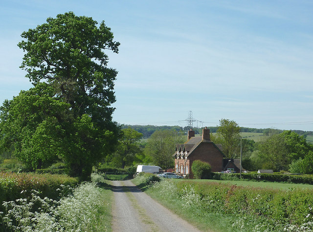
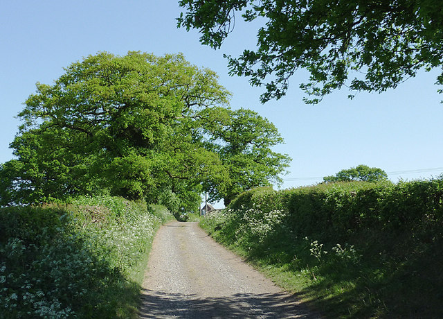
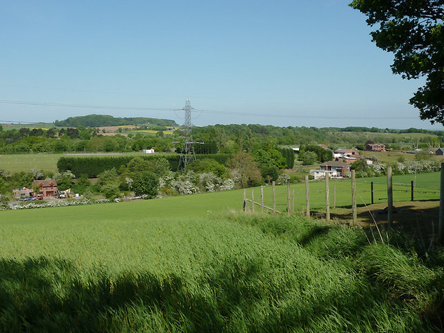
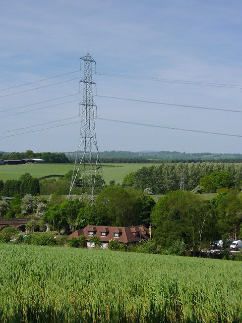
Square Covert Images

Images are sourced within 2km of 52.497844/-2.2251054 or Grid Reference SO8488. Thanks to Geograph Open Source API. All images are credited.

Enville windmill The tower mill on the edge of Enville Common built in 1800-1801 remained in use until 1870. The mill had four sails, boat cap and fantail. Little remains inside the shell except for sections of the turning ring for the boat cap. 

See <span class="nowrap"><a title="http://www.search.staffspasttrack.org.uk/engine/resource/default.asp?resource=11298" rel="nofollow ugc noopener" href="http://www.search.staffspasttrack.org.uk/engine/resource/default.asp?resource=11298">Link</a><img style="margin-left:2px;" alt="External link" title="External link - shift click to open in new window" src="https://s1.geograph.org.uk/img/external.png" width="10" height="10"/></span>
Enville windmill
The tower mill on the edge of Enville Common built in 1800-1801 remained in use until 1870. The mill had four sails, boat cap and fantail. Little remains inside the shell except for sections of the turning ring for the boat cap. See LinkExternal link
Enville windmill The tower mill on the edge of Enville Common built in 1800-1801 remained in use until 1870. The mill had four sails, boat cap and fantail. Little remains inside the shell except for sections of the turning ring for the boat cap. 

<span class="nowrap"><a title="http://www.search.staffspasttrack.org.uk/engine/resource/default.asp?resource=11298" rel="nofollow ugc noopener" href="http://www.search.staffspasttrack.org.uk/engine/resource/default.asp?resource=11298">Link</a><img style="margin-left:2px;" alt="External link" title="External link - shift click to open in new window" src="https://s1.geograph.org.uk/img/external.png" width="10" height="10"/></span>
Enville windmill
The tower mill on the edge of Enville Common built in 1800-1801 remained in use until 1870. The mill had four sails, boat cap and fantail. Little remains inside the shell except for sections of the turning ring for the boat cap. LinkExternal link
Mill farm Estate farm in Mill Lane.
Mill farm
Estate farm in Mill Lane.
Spittlebrook Mill Estate property on the Enville Estate.
Spittlebrook Mill
Estate property on the Enville Estate.
Ashwood Marina near Kingswinford, Staffordshire Looking towards the Staffordshire and Worcestershire Canal.

The canal arm and basin were originally constructed to handle coal carrying narrow-boats from the railway which was built to connect with local collieries in 1827.
Ashwood Marina near Kingswinford, Staffordshire
Looking towards the Staffordshire and Worcestershire Canal. The canal arm and basin were originally constructed to handle coal carrying narrow-boats from the railway which was built to connect with local collieries in 1827.
Ashwood Marina near Kingswinford, Staffordshire The defunct "lostlabours.co.uk" webpage informs us that "In 1827 James Foster of 'John Bradley & Co', the Iron-masters from Stourbridge, and Lord Dudley, (The Fourth Viscount Dudley & Ward) agreed to build a railway from Ashwood Basin, on the Staffs & Worcs Canal, to Shut End on Pensnett Chase." The railway was more recently owned by the National Coal Board.

The basin, which extends well beyond the bend seen in the distance, is now an attractive marina for pleasure boats. <a href="https://www.geograph.org.uk/photo/657483">SO8688 : Viaduct across Ashwood Canal Basin, Staffordshire</a>
Ashwood Marina near Kingswinford, Staffordshire
The defunct "lostlabours.co.uk" webpage informs us that "In 1827 James Foster of 'John Bradley & Co', the Iron-masters from Stourbridge, and Lord Dudley, (The Fourth Viscount Dudley & Ward) agreed to build a railway from Ashwood Basin, on the Staffs & Worcs Canal, to Shut End on Pensnett Chase." The railway was more recently owned by the National Coal Board. The basin, which extends well beyond the bend seen in the distance, is now an attractive marina for pleasure boats. SO8688 : Viaduct across Ashwood Canal Basin, Staffordshire
Ashwood Marina near Kingswinford, Staffordshire This is a telephoto assisted image taken from Ashwood Lower Lane Bridge, looking towards the Staffordshire and Worcestershire Canal. The junction is just beyond the furthest blue narrowboat.

The defunct "lostlabours.co.uk" webpage informs us that "In 1827 James Foster of 'John Bradley & Co', the Iron-masters from Stourbridge, and Lord Dudley, (The Fourth Viscount Dudley & Ward) agreed to build a railway from Ashwood Basin, on the Staffs & Worcs Canal, to Shut End on Pensnett Chase." The railway was more recently owned by the National Coal Board.

The basin is now an attractive marina for pleasure boats.
Ashwood Marina near Kingswinford, Staffordshire
This is a telephoto assisted image taken from Ashwood Lower Lane Bridge, looking towards the Staffordshire and Worcestershire Canal. The junction is just beyond the furthest blue narrowboat. The defunct "lostlabours.co.uk" webpage informs us that "In 1827 James Foster of 'John Bradley & Co', the Iron-masters from Stourbridge, and Lord Dudley, (The Fourth Viscount Dudley & Ward) agreed to build a railway from Ashwood Basin, on the Staffs & Worcs Canal, to Shut End on Pensnett Chase." The railway was more recently owned by the National Coal Board. The basin is now an attractive marina for pleasure boats.
Farmland near Ashwood, Staffordshire Looking across the Wom and Smestow valleys. The canal arm, formerly a coal wharf, crosses the scene hidden in the dip by the pylon beyond this crop field. The water is now used as a marina for narrowboats and other pleasure craft.
Farmland near Ashwood, Staffordshire
Looking across the Wom and Smestow valleys. The canal arm, formerly a coal wharf, crosses the scene hidden in the dip by the pylon beyond this crop field. The water is now used as a marina for narrowboats and other pleasure craft.
Farmland near Ashwood, Staffordshire The bridleway leads from Ashwood to the A449 Kidderminster Road, then continues as Lodge Lane to Kingswinford. The terrain slopes left to the Wom and Smestow valleys.
Farmland near Ashwood, Staffordshire
The bridleway leads from Ashwood to the A449 Kidderminster Road, then continues as Lodge Lane to Kingswinford. The terrain slopes left to the Wom and Smestow valleys.
Bridleway towards Kingswinford, Staffordshire The bridleway leads between fields from Ashwood to the A449 Kidderminster Road, then continues as the surfaced Lodge Lane to Kingswinford. The terrain slopes left to the Smestow Valley.
Bridleway towards Kingswinford, Staffordshire
The bridleway leads between fields from Ashwood to the A449 Kidderminster Road, then continues as the surfaced Lodge Lane to Kingswinford. The terrain slopes left to the Smestow Valley.
Bridleway towards Kingswinford, Staffordshire The bridleway leads between fields from Ashwood to the A449 Kidderminster Road, then continues as the surfaced Lodge Lane to Kingswinford. Buildings at Ashwood Lodge Farm can be seen on the right behind the trees. The terrain slopes left to the Wom and Smestow valleys.
Bridleway towards Kingswinford, Staffordshire
The bridleway leads between fields from Ashwood to the A449 Kidderminster Road, then continues as the surfaced Lodge Lane to Kingswinford. Buildings at Ashwood Lodge Farm can be seen on the right behind the trees. The terrain slopes left to the Wom and Smestow valleys.
Bridleway to Ashwood, Staffordshire The bridleway has led between fields from the A449 Kidderminster Road, and meeting Doctor's Lane here.
Bridleway to Ashwood, Staffordshire
The bridleway has led between fields from the A449 Kidderminster Road, and meeting Doctor's Lane here.
Bridleway to Ashwood, Staffordshire The bridleway has led between fields from the A449 Kidderminster Road, and meeting Doctor's Lane by the cottages.
Bridleway to Ashwood, Staffordshire
The bridleway has led between fields from the A449 Kidderminster Road, and meeting Doctor's Lane by the cottages.
Bridleway towards Kingswinford, Staffordshire The bridleway leads between fields from Ashwood to the A449 Kidderminster Road, then continues as the surfaced Lodge Lane to Kingswinford. Buildings at Ashwood Lodge Farm can be seen on the right behind the trees.
Bridleway towards Kingswinford, Staffordshire
The bridleway leads between fields from Ashwood to the A449 Kidderminster Road, then continues as the surfaced Lodge Lane to Kingswinford. Buildings at Ashwood Lodge Farm can be seen on the right behind the trees.
Farmland near Ashwood, Staffordshire Looking across the Wom and Smestow valleys. The former coal wharf/canal arm crosses the scene, hidden in the dip beyond this crop field, by the electricity pylon. It is now a marina for pleasure boats.
Farmland near Ashwood, Staffordshire
Looking across the Wom and Smestow valleys. The former coal wharf/canal arm crosses the scene, hidden in the dip beyond this crop field, by the electricity pylon. It is now a marina for pleasure boats.
Farmland near Ashwood, Staffordshire This is a telephoto assisted view across the farm land of the wide Smestow Valley. Ashwood Marina is hidden in the dip this side of the electricity pylon. Narrowboats are just visible on the left on the short (about 500 metres) canal arm, formerly used as a coal wharf. The actual Staffordshire and Worcestershire Canal crosses the view by the line of trees beyond the pylon.
Farmland near Ashwood, Staffordshire
This is a telephoto assisted view across the farm land of the wide Smestow Valley. Ashwood Marina is hidden in the dip this side of the electricity pylon. Narrowboats are just visible on the left on the short (about 500 metres) canal arm, formerly used as a coal wharf. The actual Staffordshire and Worcestershire Canal crosses the view by the line of trees beyond the pylon.
Farmland near Ashwood, Staffordshire Looking towards Greens forge, this is a telephoto assisted view across the wide Smestow valley. Between the blossom covered hawthorns and the electricity pylon, the Wom Brook drifts leftwards towards its confluence with the Smestow River. Also, a 500 metre arm of canal which was originally a busy coal wharf terminates near the pylon. The water is now used as a marina for narrowboats and other pleasure craft. A buzzard soars near the power wires.
Farmland near Ashwood, Staffordshire
Looking towards Greens forge, this is a telephoto assisted view across the wide Smestow valley. Between the blossom covered hawthorns and the electricity pylon, the Wom Brook drifts leftwards towards its confluence with the Smestow River. Also, a 500 metre arm of canal which was originally a busy coal wharf terminates near the pylon. The water is now used as a marina for narrowboats and other pleasure craft. A buzzard soars near the power wires.
Bridleway to Ashwood, Staffordshire The bridleway has led between fields from the A449 Kidderminster Road, and meeting Doctor's Lane by the cottages. This telephoto assisted image was taken from near Ashwood Lodge.
Bridleway to Ashwood, Staffordshire
The bridleway has led between fields from the A449 Kidderminster Road, and meeting Doctor's Lane by the cottages. This telephoto assisted image was taken from near Ashwood Lodge.
Show me another place!

Square Covert is located at Grid Ref: SO8488 (Lat: 52.497844, Lng: -2.2251054)

Administrative County: Staffordshire

District: South Staffordshire

Police Authority: Staffordshire

What 3 Words

///funded.stance.clean. Near Kingswinford, West Midlands

Related Wikis

Greensforge

Greensforge is a scattered hamlet on the boundary of Kinver and Swindon parishes, in South Staffordshire, England. It is noted for its Roman associations...

Highgate Common

Highgate Common is a Staffordshire Wildlife Trust reserve containing a mix of heathland and woodland. It is about 129 hectares or 320 acres in size. The...

Ashwood, Staffordshire

Ashwood is a small area of Staffordshire, England. It is situated in the South Staffordshire district, approximately two miles west of the West Midlands...

Swindon, Staffordshire

Swindon is a village and civil parish located in the West Midlands. The nearest major town is Dudley, approximately five miles eastwards. It stands halfway...

Summerhill School, Kingswinford

Summerhill School is a mixed community secondary school located in Kingswinford, West Midlands, England. == History == The school was built by Brierley...

West Midlands (region)

The West Midlands is one of nine official regions of England at the first level of International Territorial Level for statistical purposes. It covers...

Wall Heath

Wall Heath is a suburban village in the Dudley Metropolitan Borough in the West Midlands of England. It is located on the A449 road, approximately 1.5...

Enville, Staffordshire

Enville is a village and civil parish in rural Staffordshire, England, on the A458 road between Stourbridge and Bridgnorth. Enville is in the South Staffordshire...

Nearby Amenities

Located within 500m of 52.497844,-2.2251054
The data included in this document is from www.openstreetmap.org. The data is made available under ODbL.

Have you been to Square Covert?

Leave your review of Square Covert below (or comments, questions and feedback).