Forge Wood
Wood, Forest in Cheshire
England
Forge Wood
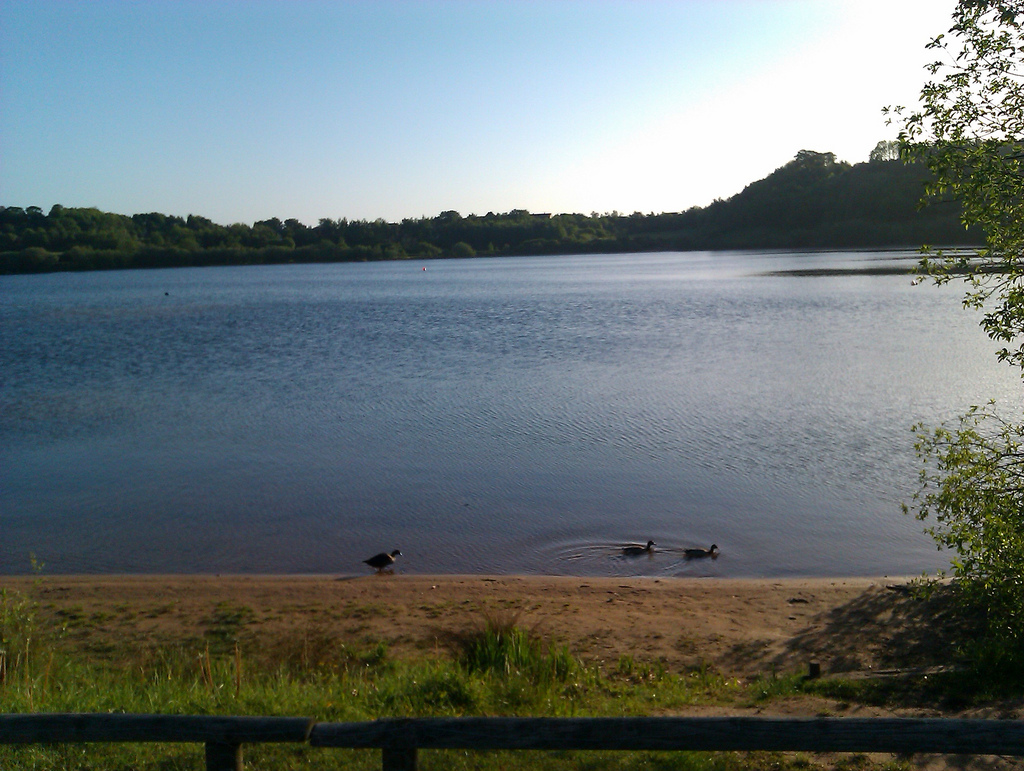
Forge Wood is a picturesque woodland located in the county of Cheshire, England. Covering an expansive area, the wood is characterized by a diverse range of tree species, creating a vibrant and lush forest ecosystem. The wood is known for its natural beauty, attracting visitors from near and far who seek tranquility and a connection with nature.
The woodland is home to a variety of wildlife, including numerous bird species, mammals, and insects. The abundance of flora and fauna in Forge Wood provides a thriving habitat for these creatures, making it an ideal destination for wildlife enthusiasts and nature photographers. Visitors can often spot deer, foxes, and squirrels roaming freely in their natural habitat.
Additionally, Forge Wood offers a network of well-maintained walking trails, allowing visitors to explore and immerse themselves in the serene surroundings. These paths wind through the forest, showcasing its rich biodiversity and offering opportunities for leisurely strolls or more adventurous hikes.
The wood is also renowned for its historical significance. In the past, it was used as a source of timber for local industries, with remnants of old forges and sawmills still visible in certain areas. These remnants serve as a reminder of the wood's industrial past and add to its intriguing charm.
Overall, Forge Wood in Cheshire is a captivating destination that offers a blend of natural beauty, wildlife, and historical significance. Whether visitors are seeking a peaceful retreat or an opportunity to explore the region's heritage, Forge Wood provides an enriching experience for all.
If you have any feedback on the listing, please let us know in the comments section below.
Forge Wood Images
Images are sourced within 2km of 53.169706/-2.2295523 or Grid Reference SJ8463. Thanks to Geograph Open Source API. All images are credited.


Forge Wood is located at Grid Ref: SJ8463 (Lat: 53.169706, Lng: -2.2295523)
Unitary Authority: Cheshire East
Police Authority: Cheshire
What 3 Words
///quietest.gobbling.learn. Near Congleton, Cheshire
Nearby Locations
Related Wikis

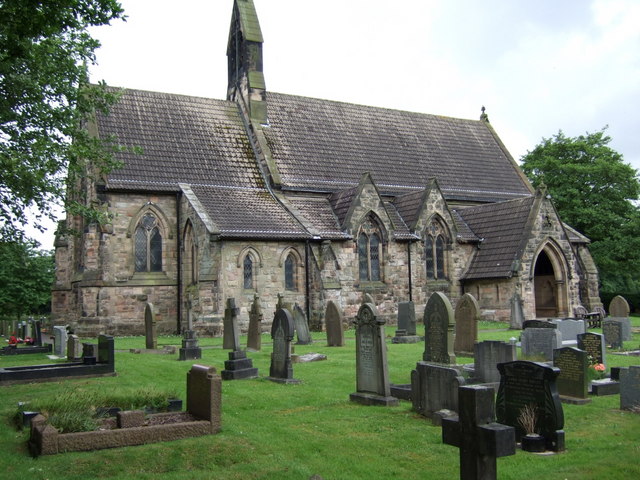
St Mary's Church, Congleton
St Mary's Church is in West Road, Congleton, Cheshire, England. It is a Roman Catholic church recorded in the National Heritage List for England as a...

West Heath, Cheshire
West Heath is a suburb to the west of Congleton, in Cheshire, England. It is the site of Astbury Mere Country Park. The West Heath area has three schools...
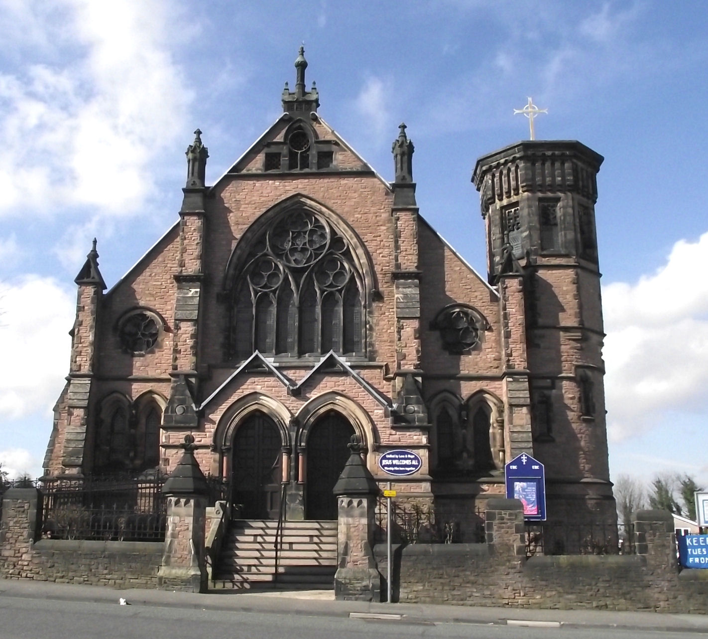
Congleton United Reformed Church
Congleton United Reformed Church is in Antrobus Street, Congleton, Cheshire, England. It is recorded in the National Heritage List for England as a designated...
Congleton Town F.C.
Congleton Town Football Club is an association football club based in Congleton, Cheshire, England. They currently play in the Midland League Premier Division...
Congleton
Congleton is a market town and civil parish in the unitary authority of Cheshire East in Cheshire, England. The town is by the River Dane, 21 miles (34...
Astbury Mere
Astbury Mere is a lake and open area in West Heath, a suburb of Congleton, Cheshire, England, in an area formerly quarried for silica sand. Part of the...
Congleton High School
Congleton High School (CHS) is an 11–18 mixed secondary school and sixth form with academy status in Congleton, Cheshire, England. It has a specialism...
St Michael's Church, Hulme Walfield
St Michael's Church is in Giantswood Lane, Hulme Walfield, Cheshire, England. It is an active Anglican parish church in the deanery of Congleton, the...
Nearby Amenities
Located within 500m of 53.169706,-2.2295523Have you been to Forge Wood?
Leave your review of Forge Wood below (or comments, questions and feedback).