St Chloe's Green
Wood, Forest in Gloucestershire Stroud
England
St Chloe's Green

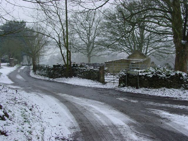
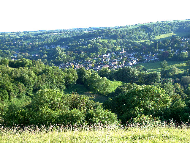
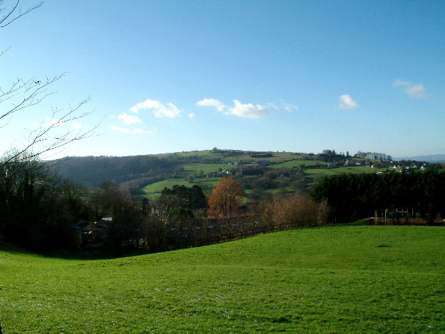
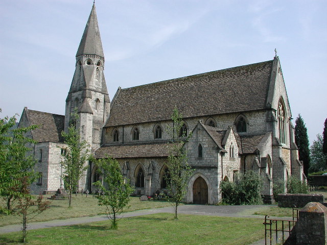
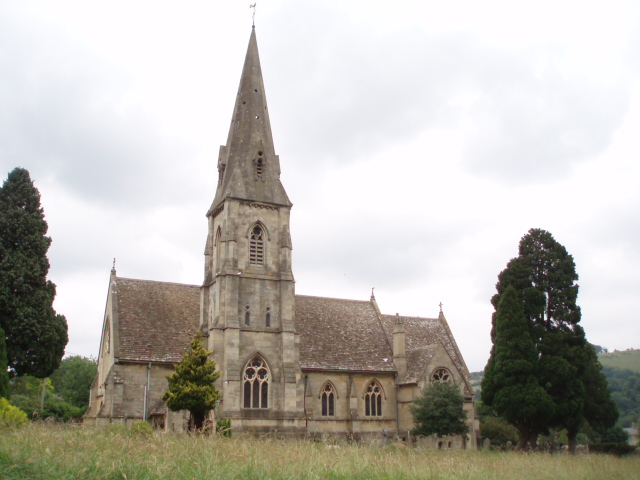
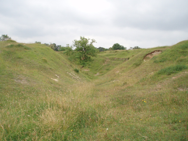
St Chloe's Green is a picturesque woodland area located in Gloucestershire, England. Situated within the Forest of Dean, it is renowned for its natural beauty and tranquil atmosphere. The green is named after the nearby St Chloe's Church, adding to its historical charm.
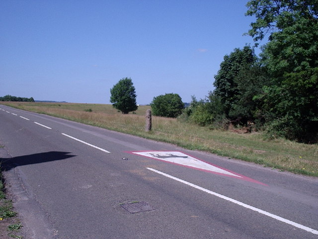
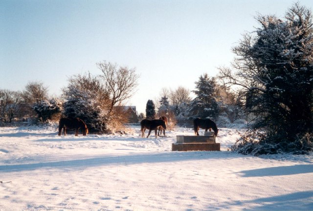
Covering an area of approximately 100 acres, St Chloe's Green is predominantly composed of dense woodland, with a diverse range of tree species including oak, beech, and birch. This creates a rich and vibrant ecosystem, attracting a variety of wildlife such as deer, foxes, and numerous bird species.
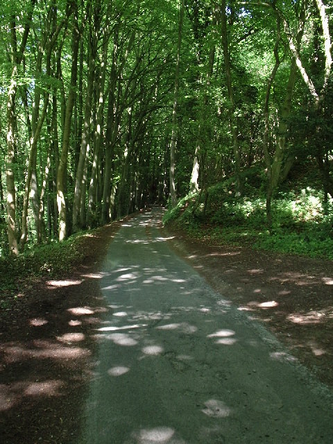
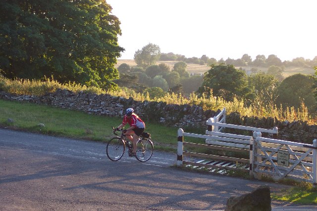
The green offers a network of well-maintained footpaths, allowing visitors to explore the area and immerse themselves in nature. There are also designated picnic spots, providing a perfect opportunity to enjoy a leisurely lunch amidst the peaceful surroundings.
One of the main attractions of St Chloe's Green is its ancient woodlands, which date back centuries. These areas are protected and carefully managed to preserve their unique ecological importance. The woodlands are home to a plethora of rare and endangered plant species, adding to the area's environmental significance.
St Chloe's Green is a popular destination for nature enthusiasts, hikers, and photographers, who are drawn to its natural beauty and tranquility. It offers a welcome escape from the hustle and bustle of modern life, providing an opportunity to reconnect with nature and appreciate the wonders of the forest.
Overall, St Chloe's Green is a remarkable woodland area within Gloucestershire's Forest of Dean. Its diverse range of flora and fauna, ancient woodlands, and serene surroundings make it a must-visit location for those seeking a peaceful and immersive natural experience.
If you have any feedback on the listing, please let us know in the comments section below.
St Chloe's Green Images
Images are sourced within 2km of 51.716068/-2.2222985 or Grid Reference SO8401. Thanks to Geograph Open Source API. All images are credited.

St Chloe's Green is located at Grid Ref: SO8401 (Lat: 51.716068, Lng: -2.2222985)
Administrative County: Gloucestershire
District: Stroud
Police Authority: Gloucestershire
What 3 Words
///astounded.developed.husband. Near Nailsworth, Gloucestershire
Nearby Locations
Related Wikis

Neu-Lindsey Nature Reserve
Neu-Lindsey Nature Reserve (grid reference SO845014) is a 0.4-hectare (0.99-acre) nature reserve in Gloucestershire. The site is listed in the ‘Stroud...

Woodchester railway station
Woodchester railway station served the villages of Woodchester and Amberley in Gloucestershire, England. It was on the 9.3 km-long Stonehouse and Nailsworth...

Amberley, Gloucestershire
Amberley, Gloucestershire is a small village about two miles south of Stroud in Gloucestershire, England. It is situated on the edge of Minchinhampton...

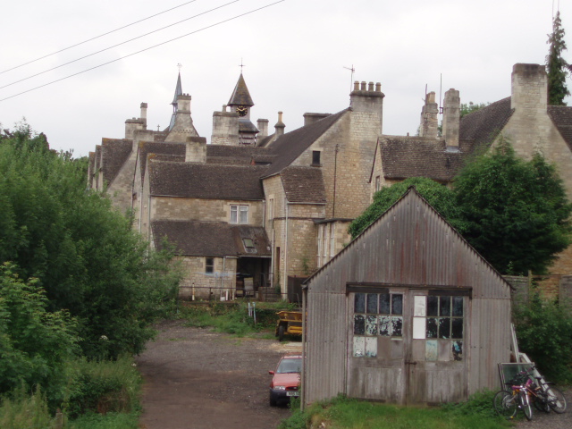
Woodchester
Woodchester is a Gloucestershire village in the Nailsworth (or Woodchester) Valley, a valley in the South Cotswolds in England, running southwards from...

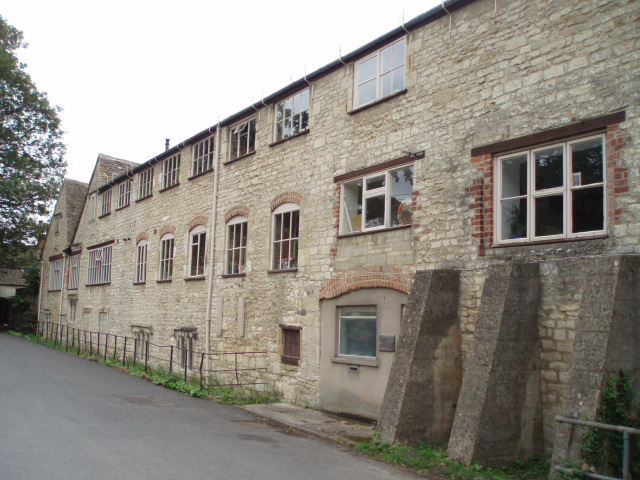
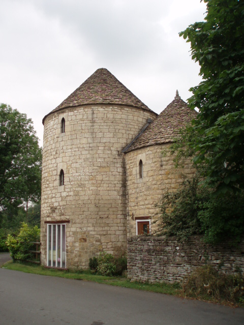
Convent of Poor Clares, Woodchester
A former Convent of Poor Clares is located in Woodchester, near Stroud in Gloucestershire. The convent was home to nuns of the Poor Clares order from 1850...

Minchinhampton Common
Minchinhampton Common (grid reference SO855010) is a 182.7-hectare (451-acre) biological and geological Site of Special Scientific Interest in Gloucestershire...

Woodchester Roman Villa
Woodchester Roman Villa was situated at Woodchester near Stroud in the English county of Gloucestershire. It is one of many Roman villas discovered in...

Rodborough Common, Gloucestershire
Rodborough Common is a 116.0-hectare (287-acre) biological and geological Site of Special Scientific Interest in Gloucestershire, notified in 1954. The...
Nearby Amenities
Located within 500m of 51.716068,-2.2222985Have you been to St Chloe's Green?
Leave your review of St Chloe's Green below (or comments, questions and feedback).