Backgreen Covert
Wood, Forest in Worcestershire Malvern Hills
England
Backgreen Covert
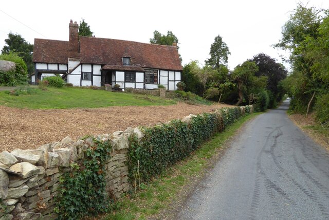
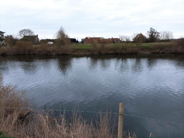
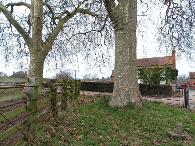
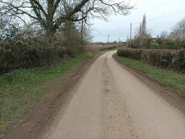
Backgreen Covert is a picturesque woodland located in Worcestershire, England. It is a part of the wider Backgreen Covert Nature Reserve, which boasts a diverse range of flora and fauna, making it a popular spot for nature enthusiasts and hikers alike.
Covering an area of approximately 50 acres, Backgreen Covert is characterized by its dense woodland, dominated by mature trees such as oak, birch, and beech. The woodland floor is covered with a carpet of wildflowers, including bluebells, primroses, and wood anemones, which create a vibrant and breathtaking display during the spring months.
The reserve is home to a variety of wildlife, including birds, mammals, and insects. Visitors may catch a glimpse of red deer, foxes, squirrels, and numerous bird species such as woodpeckers, owls, and thrushes. The diverse habitat within Backgreen Covert provides a sanctuary for these creatures and offers a unique opportunity for wildlife observation and photography.
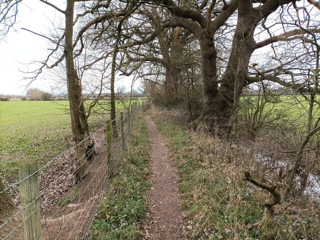
A network of well-maintained footpaths winds through the woodland, providing visitors with the chance to explore the area at their own pace. The tranquility and natural beauty of Backgreen Covert make it an ideal destination for those seeking a peaceful retreat from the hustle and bustle of everyday life.
Managed by the Worcestershire Wildlife Trust, the reserve also offers educational programs and guided tours, designed to raise awareness about the importance of conservation and the protection of natural habitats. Overall, Backgreen Covert is a hidden gem within Worcestershire, offering visitors a chance to connect with nature and experience the beauty of a traditional English woodland.
If you have any feedback on the listing, please let us know in the comments section below.
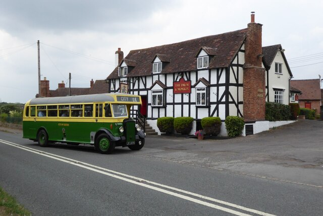
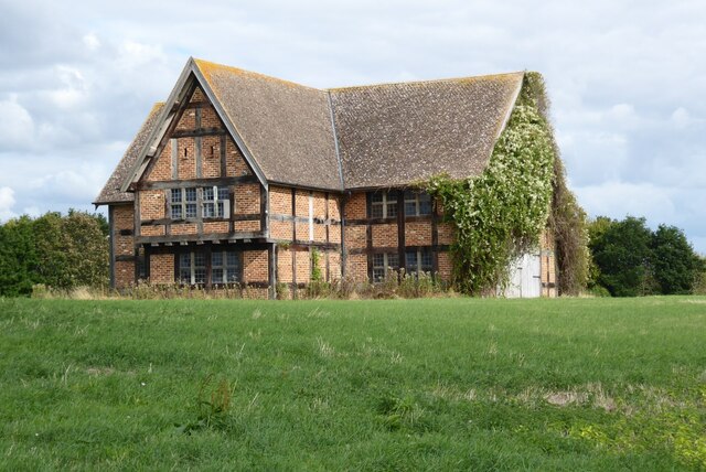
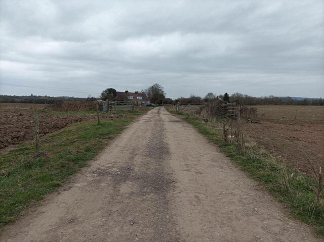
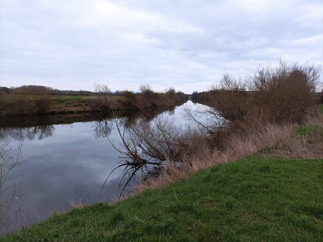
Backgreen Covert Images
Images are sourced within 2km of 52.045587/-2.2252585 or Grid Reference SO8438. Thanks to Geograph Open Source API. All images are credited.


Backgreen Covert is located at Grid Ref: SO8438 (Lat: 52.045587, Lng: -2.2252585)
Administrative County: Worcestershire
District: Malvern Hills
Police Authority: West Mercia
What 3 Words
///lengthen.technical.logged. Near Upton upon Severn, Worcestershire
Nearby Locations
Related Wikis

Holdfast, Worcestershire
Holdfast is a civil parish in the Malvern Hills District of the county of Worcestershire, England. It is one of three administered by the Parish Council...
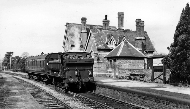
Upton-on-Severn railway station
Upton-on-Severn railway station was a railway station serving Upton-on-Severn in the English county of Worcestershire. == History == It was opened...

Lordship of Saxons Lode
The Lordship of Saxons Lode or warlord of Saxons Lode (Old English for 'Lord of Viking's Iron') (Icelandic: Lávarður Saxa Lode, Danish: Herre af Sakserne...

Queenhill
Queenhill is a civil parish and hamlet in the Malvern Hills District of the county of Worcestershire, England. It is one of three parishes administered...

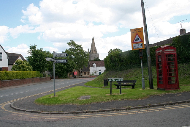
Upton-upon-Severn
Upton-upon-Severn (or Upton on Severn, etc. and locally simply Upton) is a town and civil parish in the Malvern Hills District of Worcestershire, England...

Battle of Upton
The Battle of Upton was fought on 28 August 1651 when a New Model Army detachment under the command of Colonel John Lambert made a surprise attack on Royalists...
Longdon, Worcestershire
Longdon is a village and a civil parish in the Malvern Hills District and council ward of the county of Worcestershire, England and lies about 5 km (3...

Battle of Ripple Field
The Battle of Ripple Field, fought on 13 April 1643, was an engagement in the First English Civil War. In the battle, a Royalist cavalry force led by Prince...
Related Videos
Walking Around Upton-upon-Severn, Worcestershire, England Sunday, 23rd January 2023
Walking around Upton-upon-Severn, Worcestershire, England Videoed on Sunday, 23rd January 2023 © Mike Fairman 2023 ...

These boots are made for walking
Treme at the Upton Jazz Festival performing our version of this Nancy Sinatra song, These boots are made for walking, and the ...
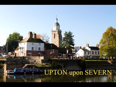
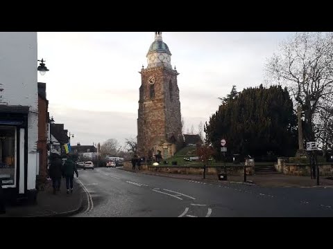
Upton upon Severn
It may be the smallest town in Worcestershire but what it lacks in size, it makes up with character. It is located on the west bank of ...

Roadtrip UK🇬🇧 | Uckinghall To Twyning 🇬🇧 | Raw Footage | Country Roads | Worcester | Gloucester
ukroadtrip #roadtrip #driving #countryroad #travel #travelvlog #drivinglessons #road #worcester #gloucester #tewkesbury ...
Nearby Amenities
Located within 500m of 52.045587,-2.2252585Have you been to Backgreen Covert?
Leave your review of Backgreen Covert below (or comments, questions and feedback).