Brickpits Plantation

Wood, Forest in Worcestershire Malvern Hills

England

Brickpits Plantation

Brick-built roadside house
Brick-built roadside house Credit: Sarah Charlesworth

Brickpits Plantation is a picturesque woodland located in Worcestershire, England. Situated in the heart of the county, this sprawling forest covers an area of approximately 100 acres. It is known for its dense tree cover, comprising predominantly of oak, beech, and birch trees, which provide a vibrant and lush green backdrop throughout the year.

The plantation's name, Brickpits, stems from the historical use of the area as a brick quarry. In the early 19th century, clay was extracted from this site to produce bricks that were used in the construction of local buildings. Today, the remnants of the brick pits can still be seen, adding an interesting historical element to the woodland.

With its diverse ecosystem, Brickpits Plantation is a haven for wildlife enthusiasts. The forest supports a rich variety of fauna, including deer, foxes, badgers, and a wide range of bird species. The woodland floor is also adorned with an array of wildflowers, such as bluebells and primroses, during the spring months.

The plantation is a popular destination for outdoor enthusiasts, offering numerous walking and cycling trails that wind through the forest. These well-maintained paths provide visitors with the opportunity to explore the woodland at their own pace, immersing themselves in the tranquility and serenity of nature.

Brickpits Plantation provides a peaceful sanctuary away from the hustle and bustle of everyday life. Its natural beauty and historical significance make it a cherished spot for locals and tourists alike, offering a unique and rewarding experience for all who venture into its enchanting woodlands.

If you have any feedback on the listing, please let us know in the comments section below.

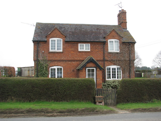
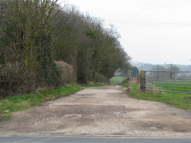
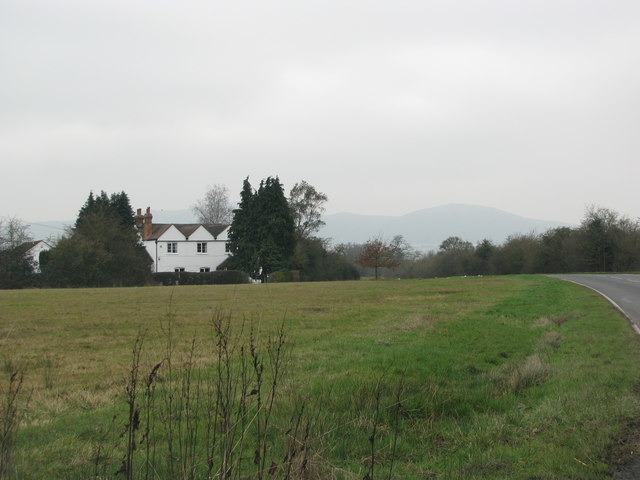
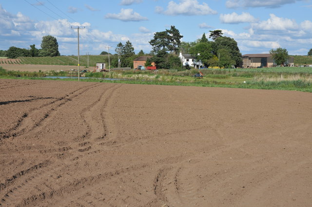
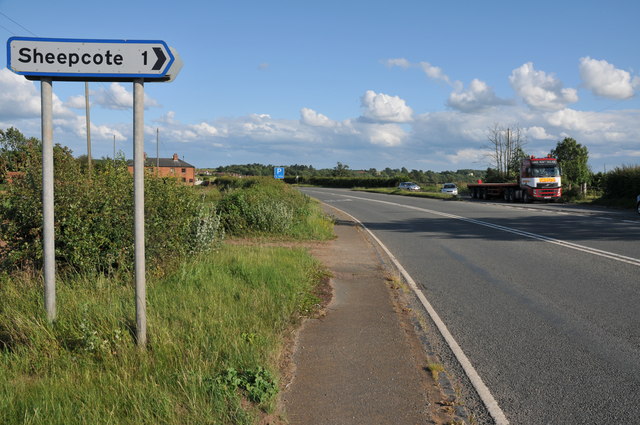
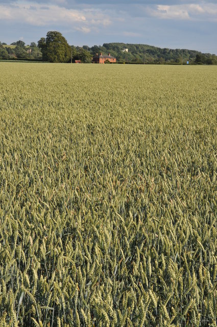
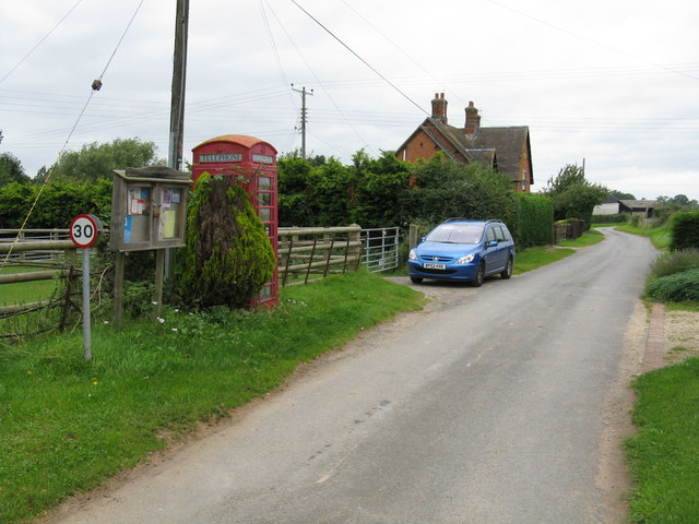
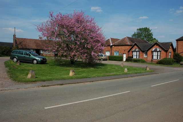
Brickpits Plantation Images

Images are sourced within 2km of 52.099404/-2.2256612 or Grid Reference SO8444. Thanks to Geograph Open Source API. All images are credited.

Brick-built roadside house
Track down the side of Cliffey Wood
Field by the white house near Rhydd
Track through a wheat field Track and bridleway through a field of wheat to a house to the north of Severn Stoke.
Track through a wheat field
Track and bridleway through a field of wheat to a house to the north of Severn Stoke.
Bridleway to Birch Green Bridleway and track through a field of wheat between Clifton and Birch Green.
Bridleway to Birch Green
Bridleway and track through a field of wheat between Clifton and Birch Green.
Naunton Farm viewed across wheat fields The farmhouse of Naunton Farm viewed from the west across fields of wheat.
Naunton Farm viewed across wheat fields
The farmhouse of Naunton Farm viewed from the west across fields of wheat.
Track through wheat fields Track and bridleway through wheat fields between Clifton and Birch Green.
Track through wheat fields
Track and bridleway through wheat fields between Clifton and Birch Green.
Brook near Naunton Farm A reed filled brook draining arable land near Naunton Farm near Birch Green.
Brook near Naunton Farm
A reed filled brook draining arable land near Naunton Farm near Birch Green.
Ears of wheat Ears of wheat in a wheat field near Naunton Farm, Birch Green.
Ears of wheat
Ears of wheat in a wheat field near Naunton Farm, Birch Green.
Sandford Villa Farm Sandford Villa Farm near Severn Stoke viewed from the A38.
Sandford Villa Farm
Sandford Villa Farm near Severn Stoke viewed from the A38.
The A38 near Severn Stoke A road sign on the A38 north of Severn Stoke indicates the road to Sheepcote.
The A38 near Severn Stoke
A road sign on the A38 north of Severn Stoke indicates the road to Sheepcote.
Bridleway off the A38 A bridleway and track off the A38 near Clifton to the north of Severn Stoke.
Bridleway off the A38
A bridleway and track off the A38 near Clifton to the north of Severn Stoke.
Field of wheat near Severn Stoke View over a field of wheat towards Severn Stoke, the church tower can be seen in the distance on the left and the white building on the wooded bank is a country house called Severn Bank. See: <a href="https://www.geograph.org.uk/photo/2202058">SO8543 : Severn Bank House</a>
Field of wheat near Severn Stoke
View over a field of wheat towards Severn Stoke, the church tower can be seen in the distance on the left and the white building on the wooded bank is a country house called Severn Bank. See: SO8543 : Severn Bank House
Bridleway approaching Naunton Farm Bridleway approaching Naunton Farm at Birch Green.
Bridleway approaching Naunton Farm
Bridleway approaching Naunton Farm at Birch Green.
Farm buildings, Naunton Farm Farm buildings at Naunton Farm at Birch Green viewed across a field of wheat.
Farm buildings, Naunton Farm
Farm buildings at Naunton Farm at Birch Green viewed across a field of wheat.
Footpath at Birch Green Footpath through a wheatfield at Birch Green with some of the buildings of Naunton Farm on the left.  For the same view four years later see: <a href="https://www.geograph.org.uk/photo/4591433">SO8545 : Footpath and potato field</a>
Footpath at Birch Green
Footpath through a wheatfield at Birch Green with some of the buildings of Naunton Farm on the left. For the same view four years later see: SO8545 : Footpath and potato field
Road at Birch Green Country road through fields of wheat at Birch Green.
Road at Birch Green
Country road through fields of wheat at Birch Green.
Country road at Birch Green Wild flowers on the verge of a country road at Birch Green.
Country road at Birch Green
Wild flowers on the verge of a country road at Birch Green.
Show me another place!

Brickpits Plantation is located at Grid Ref: SO8444 (Lat: 52.099404, Lng: -2.2256612)

Administrative County: Worcestershire

District: Malvern Hills

Police Authority: West Mercia

What 3 Words

///attending.panther.myth. Near Upton upon Severn, Worcestershire

Related Wikis

The Rhydd

The Rhydd (formerly Rhydd Court) is an English country house alongside the River Severn, near the village of Hanley Castle, Worcestershire, about halfway...

Severn Stoke

Severn Stoke is an English village and civil parish in the Malvern Hills District, in the south of the county of Worcestershire, alongside the A38 trunk...

Clifton, Worcestershire

Clifton is a village in Worcestershire, England.

Hanley Castle

Hanley Castle is a village and civil parish in Worcestershire, England, between the towns of Malvern and Upton upon Severn and a short distance from the...

Kerswell Green

Kerswell Green is a village in Worcestershire, England.

Hanley Castle High School

Hanley Castle High School is a non-selective mixed secondary school and sixth form centre located in the village of Hanley Castle, 1.4 miles (2.2 km) from...

High Green, Worcestershire

High Green is a village in Worcestershire, England.

Hanley Castle (castle)

Hanley Castle was a Norman castle that stood to the south of the present-day site of the village of Hanley Castle, which lies 2 km north of Upton-upon...

Nearby Amenities

Located within 500m of 52.099404,-2.2256612
Source: Landsat photo
Lat/Long: 52.1017253/-2.2302651
Source: Landsat photo
Lat/Long: 52.101474/-2.2285196
Source: Landsat photo
Lat/Long: 52.1008796/-2.2263896
Source: Landsat photo
Lat/Long: 52.100272/-2.2251679
Source: Landsat photo
Lat/Long: 52.0993294/-2.2237411
Source: Landsat photo
Lat/Long: 52.0972993/-2.2219283
Barrier: stile
Foot: yes
Lat/Long: 52.0977126/-2.2215896
Cliffey Farm
Power: pole
Transformer: distribution
Voltage Primary: 11000
Lat/Long: 52.0965472/-2.2301254
The data included in this document is from www.openstreetmap.org. The data is made available under ODbL.

Have you been to Brickpits Plantation?

Leave your review of Brickpits Plantation below (or comments, questions and feedback).