Cock Road Plantation

Wood, Forest in Wiltshire

England

Cock Road Plantation

What are you searching for this summer? Some fuel and a bite, perchance?
What are you searching for this summer? Credit: Neil Owen

Cock Road Plantation is a picturesque wood located in Wiltshire, England. Covering an area of approximately 100 acres, it is a notable landmark in the region and attracts visitors from near and far. The plantation is situated in the south-western part of Wiltshire, close to the village of Westbury.

The woodland is primarily composed of native species such as oak, beech, and ash trees. These trees create a dense and lush canopy, providing a haven for a wide range of wildlife. The rich biodiversity found within the plantation includes various bird species, mammals, and insects.

Cock Road Plantation offers a tranquil escape for nature enthusiasts, hikers, and walkers. Numerous paths and trails crisscross the wood, allowing visitors to explore its beauty at their own pace. The plantation is also home to a small pond, creating a serene atmosphere and providing a habitat for amphibians and aquatic creatures.

With its idyllic setting, Cock Road Plantation is a popular spot for picnics and family outings. The wood offers ample space for recreational activities, such as nature walks and birdwatching. The plantation is managed by local authorities who ensure the preservation of its natural beauty and the protection of its wildlife.

Overall, Cock Road Plantation is a gem in the heart of Wiltshire, offering a peaceful retreat for those seeking solace in nature. Its diverse ecosystems and scenic trails make it a must-visit destination for both locals and tourists alike.

If you have any feedback on the listing, please let us know in the comments section below.

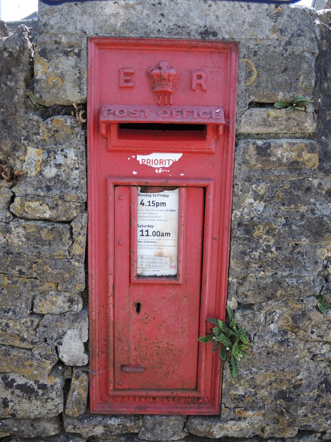
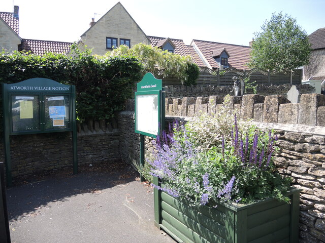
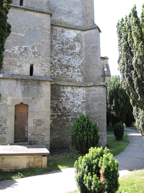
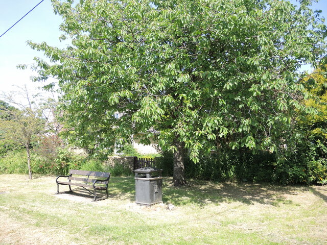
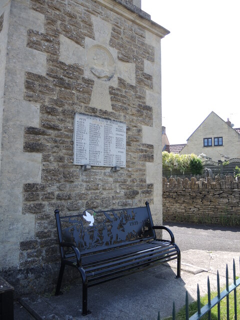
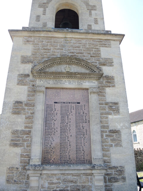
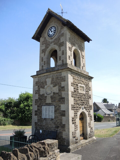
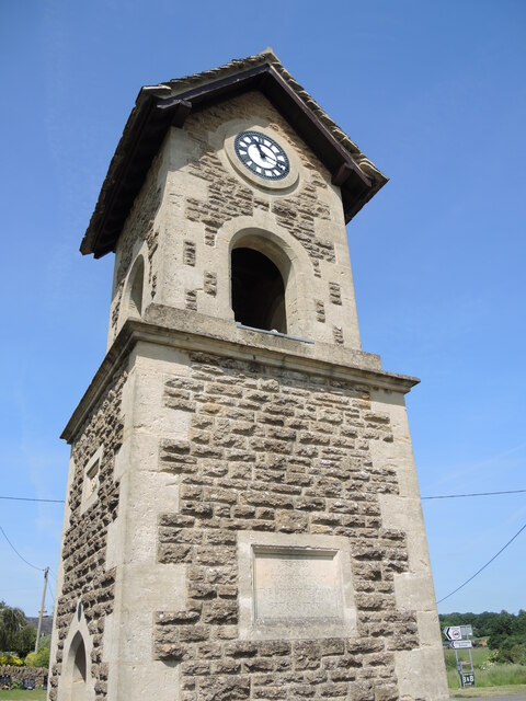
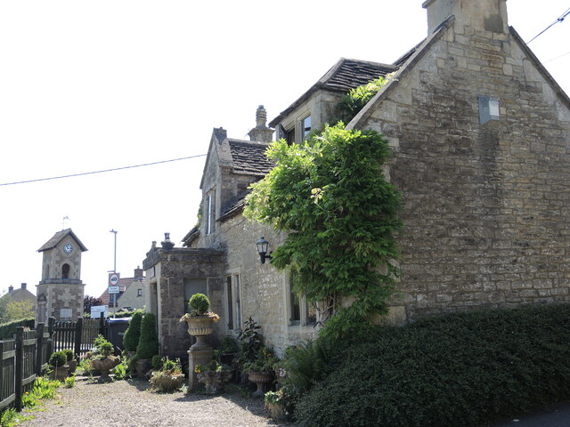
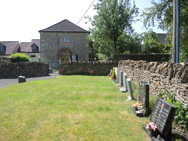
Cock Road Plantation Images

Images are sourced within 2km of 51.384778/-2.2231594 or Grid Reference ST8465. Thanks to Geograph Open Source API. All images are credited.

What are you searching for this summer? Some fuel and a bite, perchance?
What are you searching for this summer?
Some fuel and a bite, perchance?
Edward's box An Edward VII letterbox, another W.T. Allen product, embedded in the wall of the village school.
Edward's box
An Edward VII letterbox, another W.T. Allen product, embedded in the wall of the village school.
Parish notices and perennials Two boards near the church graveyard, as well as some floral touches.
Parish notices and perennials
Two boards near the church graveyard, as well as some floral touches.
Light and powerful A well-fenced electricity substation in Atworth.
Light and powerful
A well-fenced electricity substation in Atworth.
Benchmark on Atworth's church A cutmark of nineteenth century vintage lies on the northern face of St Michael's and All Angels. See <span class="nowrap"><a title="https://www.bench-marks.org.uk/bm152996" rel="nofollow ugc noopener" href="https://www.bench-marks.org.uk/bm152996">Link</a><img style="margin-left:2px;" alt="External link" title="External link - shift click to open in new window" src="https://s1.geograph.org.uk/img/external.png" width="10" height="10"/></span> for the entry in the Benchmark Database and <a href="https://www.geograph.org.uk/photo/6932942">ST8565 : At the foot of the tower</a> for a wider view.
Benchmark on Atworth's church
A cutmark of nineteenth century vintage lies on the northern face of St Michael's and All Angels. See LinkExternal link for the entry in the Benchmark Database and ST8565 : At the foot of the tower for a wider view.
At the foot of the tower St Michael's and All Angels church tower has a benchmark at the northwest buttress. See <a href="https://www.geograph.org.uk/photo/6932939">ST8565 : Benchmark on Atworth's church</a> for a good look.
At the foot of the tower
St Michael's and All Angels church tower has a benchmark at the northwest buttress. See ST8565 : Benchmark on Atworth's church for a good look.
A shady rest The west end of Atworth has a small patch of grass with a seat for visitors. It is close to the school and what used to be the Forester's Arms - a pub that had a number of changes but is now lost.
A shady rest
The west end of Atworth has a small patch of grass with a seat for visitors. It is close to the school and what used to be the Forester's Arms - a pub that had a number of changes but is now lost.
All those who served The Roll of Honour on the west face of the tower lists those from the village who fought in any role in WWII, notably including women in a separate section. One name in gold was the only fatality. Below is a twenty-first century memorial to the war in the form of a seat.

Above is a cross with a profile of Queen Victoria, dated 1887 and 1897.
All those who served
The Roll of Honour on the west face of the tower lists those from the village who fought in any role in WWII, notably including women in a separate section. One name in gold was the only fatality. Below is a twenty-first century memorial to the war in the form of a seat. Above is a cross with a profile of Queen Victoria, dated 1887 and 1897.
For God, King and Country The village of Atworth funded the Jubilee Clock Tower, right on the main Bath Road, in 1897. By the end of the Great War, it became an obvious place to mark the men of the village who had served, and in some cases fallen, in its prosecution.
For God, King and Country
The village of Atworth funded the Jubilee Clock Tower, right on the main Bath Road, in 1897. By the end of the Great War, it became an obvious place to mark the men of the village who had served, and in some cases fallen, in its prosecution.
Atworth Diamond Jubilee Clock Tower To mark Victoria's Diamond Jubilee of 1897, the village garnered around £100 to build this tower. It features a clock made by Niehus Brothers of Bristol and a bell. Originally it had a flagpole but that was replaced by the weathervane, reducing the total height to 26m (85'). The structure and internals were refurbished in 1999.
Atworth Diamond Jubilee Clock Tower
To mark Victoria's Diamond Jubilee of 1897, the village garnered around £100 to build this tower. It features a clock made by Niehus Brothers of Bristol and a bell. Originally it had a flagpole but that was replaced by the weathervane, reducing the total height to 26m (85'). The structure and internals were refurbished in 1999.
The longest reign The Diamond Jubilee Clock Tower stands right at the junction of the old part of the village of Atworth, near the church, and the main Bath Road part. The tablet commemorated the length of the Victoria's reign at that time.

See <a href="https://www.geograph.org.uk/photo/678236">ST8665 : 2008 : In Commemoration</a> for Maurice Pullin's image of 2008 for the tablet.
The longest reign
The Diamond Jubilee Clock Tower stands right at the junction of the old part of the village of Atworth, near the church, and the main Bath Road part. The tablet commemorated the length of the Victoria's reign at that time. See ST8665 : 2008 : In Commemoration for Maurice Pullin's image of 2008 for the tablet.
Tolls by the tower This vernacular cottage was built in about 1795 for the Bath to Melksham turnpike and charged users a toll. Although it had been relieved of its function and reverted to private residence, much of the original features remain. Grade II listed.
Tolls by the tower
This vernacular cottage was built in about 1795 for the Bath to Melksham turnpike and charged users a toll. Although it had been relieved of its function and reverted to private residence, much of the original features remain. Grade II listed.
Independent graves The small allotted burial ground by the old Independent Church features a few stones, but most of the present land is under tarmac.
Independent graves
The small allotted burial ground by the old Independent Church features a few stones, but most of the present land is under tarmac.
Atworth Independent Church Founded in the 1790s, it has pointed ‘gothick’ windows and an unusual pointed door hood.
Atworth Independent Church
Founded in the 1790s, it has pointed ‘gothick’ windows and an unusual pointed door hood.
Lest we forget 1918-2018 A graphic-laden seat now stands beside the Jubilee Clock Tower in Atworth. It is one of two such types that mark the centenary of the end of WWI.
Lest we forget 1918-2018
A graphic-laden seat now stands beside the Jubilee Clock Tower in Atworth. It is one of two such types that mark the centenary of the end of WWI.
St Michael's new and old The church has origins in the very early eleventh century when it was part of the Abbess of Shaftesbury's control. In that century it was badly damaged by a fire and partly rebuilt.

In 1451 the church was again rebuilt and enlarged by Thomas Beaushin of Cottles House, making the existing tower all that remains of that building today.

By 1831 the church was in a fairly ruinous state and efforts to secure funding came in the form of the Incorporated Society for Promoting the Enlargement, Building and Improving of Churches and Chapels. It was at this point that the church's layout was substantially altered. In its early years the entrance was in the west, but in creating a new nave the door was opened in the west, connecting the two parts with a sort passage. The architect was Henry Edmund Goodridge (1797-1864), the Bath architect of Beckford Tower, The Corridor, Downside Abbey, Cleveland Bridge and many Italianate villas in Bath.

Grade II* listed.
St Michael's new and old
The church has origins in the very early eleventh century when it was part of the Abbess of Shaftesbury's control. In that century it was badly damaged by a fire and partly rebuilt. In 1451 the church was again rebuilt and enlarged by Thomas Beaushin of Cottles House, making the existing tower all that remains of that building today. By 1831 the church was in a fairly ruinous state and efforts to secure funding came in the form of the Incorporated Society for Promoting the Enlargement, Building and Improving of Churches and Chapels. It was at this point that the church's layout was substantially altered. In its early years the entrance was in the west, but in creating a new nave the door was opened in the west, connecting the two parts with a sort passage. The architect was Henry Edmund Goodridge (1797-1864), the Bath architect of Beckford Tower, The Corridor, Downside Abbey, Cleveland Bridge and many Italianate villas in Bath. Grade II* listed.
A dainty door The door in St Michael's church, Atworth, seems quite small for a design from the Victorian era.
A dainty door
The door in St Michael's church, Atworth, seems quite small for a design from the Victorian era.
Wild flowers and wreaths Like many parish graveyards, less mowing has been done to help the wildlife to flourish.
Wild flowers and wreaths
Like many parish graveyards, less mowing has been done to help the wildlife to flourish.
Show me another place!

Cock Road Plantation is located at Grid Ref: ST8465 (Lat: 51.384778, Lng: -2.2231594)

Unitary Authority: Wiltshire

Police Authority: Wiltshire

What 3 Words

///reclined.sublime.wreck. Near Atworth, Wiltshire

Related Wikis

Stonar School

Stonar School, founded in 1895, is a non-denominational UK independent day and boarding school, at Cottles Park, near Atworth, Wiltshire, south-west England...
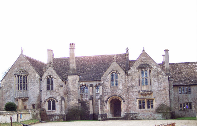
South Wraxall Manor

South Wraxall Manor is a Grade I listed country house which dates from the early 15th century, at South Wraxall in the English county of Wiltshire, about...

South Wraxall

South Wraxall is a village and a civil parish in Wiltshire, England, 2.5 miles (4.0 km) north of Bradford on Avon. The village is to the east of the B3109...

Atworth

Atworth is a village and civil parish in west Wiltshire, England. The village is on the A365 road between Melksham and Box, about 2.5 miles (4 km) northwest...
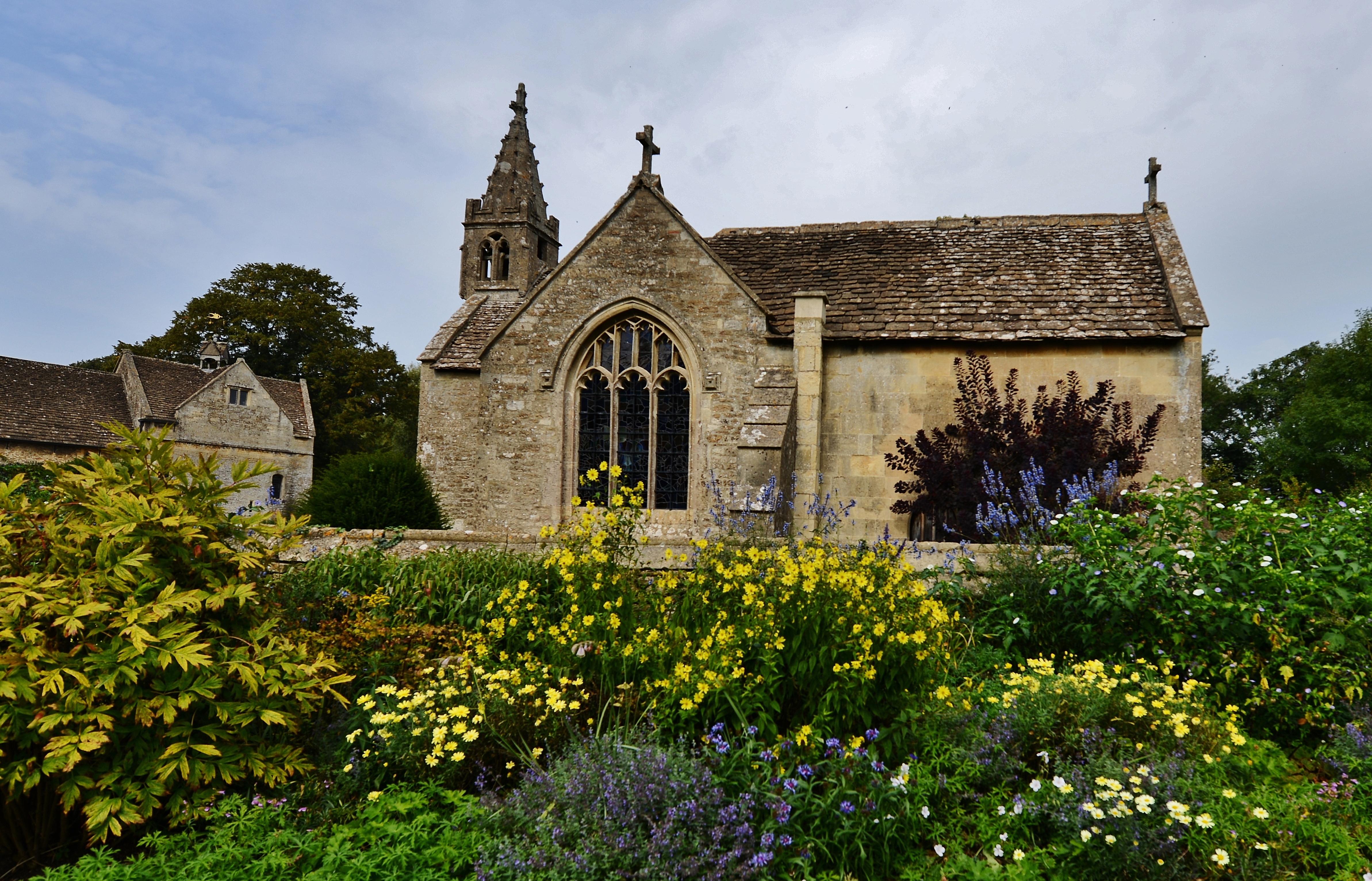
Great Chalfield

Great Chalfield, also sometimes called by its Latin name of Chalfield Magna, formerly East Chalfield and anciently Much Chaldefield, is a small village...

Beardwell

Beardwell is a farm and small hamlet in the parish of Atworth, Wiltshire, England.The name appears in the mid-fifteenth century Tropenell Cartulary as...

Great Chalfield Manor

Great Chalfield Manor is an English country house at Great Chalfield, about 2.5 miles (4 km) northeast of the town of Bradford on Avon in the west of the...
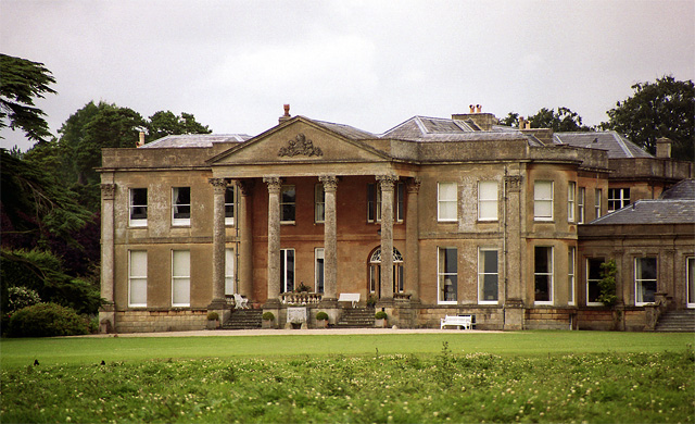
Neston Park

Neston Park is an English country house and estate in the village of Neston, some 2 miles (3 km) south of Corsham, Wiltshire. The name of the village of...

Have you been to Cock Road Plantation?

Leave your review of Cock Road Plantation below (or comments, questions and feedback).