High Hope Wood
Wood, Forest in Northumberland
England
High Hope Wood
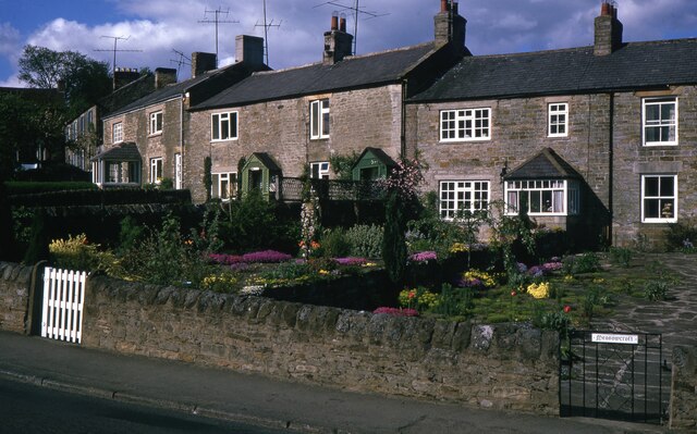
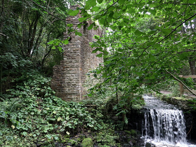
High Hope Wood is a beautiful woodland located in Northumberland, England. It covers an area of approximately 50 acres and is known for its diverse range of tree species and abundant wildlife. The wood is situated on the southern slope of the River Coquet valley, providing stunning views of the surrounding countryside.
The wood is predominantly made up of broadleaf trees, including oak, ash, birch, and beech, which create a dense canopy and provide a rich habitat for a variety of woodland creatures. The forest floor is covered in a thick carpet of ferns, wildflowers, and mosses, adding to the wood's natural beauty.
Visitors to High Hope Wood can enjoy a network of well-maintained walking trails that meander through the woodland, offering a peaceful and tranquil escape from the hustle and bustle of daily life. The paths are suitable for all levels of walkers and provide opportunities to spot native wildlife, such as red squirrels, woodpeckers, and various species of birds.
The wood is also home to a number of rare and protected species, including the red kite and the purple hairstreak butterfly. Conservation efforts are in place to protect these species and their habitats, making High Hope Wood an important site for biodiversity in the region.
Whether you are a nature enthusiast, a keen walker, or simply seeking a serene retreat, High Hope Wood in Northumberland provides a haven of natural beauty and tranquility to be explored and appreciated.
If you have any feedback on the listing, please let us know in the comments section below.
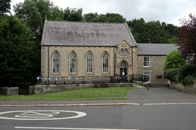
High Hope Wood Images
Images are sourced within 2km of 54.913158/-2.2439152 or Grid Reference NY8457. Thanks to Geograph Open Source API. All images are credited.

High Hope Wood is located at Grid Ref: NY8457 (Lat: 54.913158, Lng: -2.2439152)
Unitary Authority: Northumberland
Police Authority: Northumbria
What 3 Words
///towel.ratio.vitamins. Near Haydon Bridge, Northumberland
Nearby Locations
Related Wikis

Allendale railway station
Allendale railway station was the terminus of the single track branch of the Hexham and Allendale Railway, in north east England. The line connected villages...
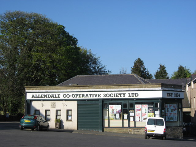
Allendale Co-operative Society
Allendale Co-operative Society is a small consumer co-operative in the village of Allendale, Northumberland, England. Founded in 1874 as the Allendale...

Catton, Northumberland
Catton is a village in Northumberland, England. It is about 7 miles (11 km) to the southwest of Hexham and is located on the outskirts of Allendale �...

Museum of Classic Sci-Fi
The Museum of Classic Sci-Fi is in Allendale, Northumberland in England. The museum opened in 2018 and houses a collection of more than 200 props, costumes...
Related Videos

North Pennines Adventures Penny Cottage - Completing Isaac’s Tea trail.
This is our days 3 and 4 of the Isaac's tea trail. This was completed adhoc, utilising where possible public transport. It can be tricky ...

North Pennines Adventures Penny Cottage - Isaac’s Tea trail part 1.
Approx 24 miles covered of the trail over two days. The final leg is to be completed, later in the year.

Charity Motorbike Ride Form Allendale, Northumberland UK.
Spare of the moment decision to go on a Charity Bike Ride, that I saw advertised on Facebook today so I joined in and it was so ...
Have you been to High Hope Wood?
Leave your review of High Hope Wood below (or comments, questions and feedback).