Hare Covert

Wood, Forest in Staffordshire South Staffordshire

England

Hare Covert

The Old Grammar School The school from 1511 stands alongside the Holloway in Kinver and is now a private house.
The Old Grammar School Credit: Gordon Griffiths

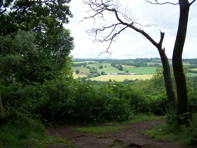
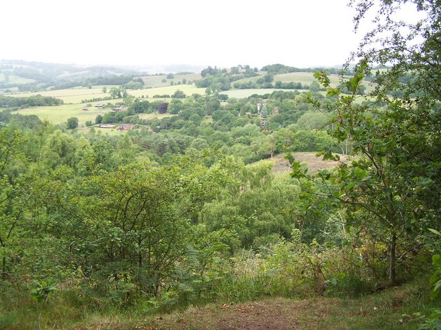
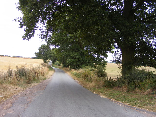
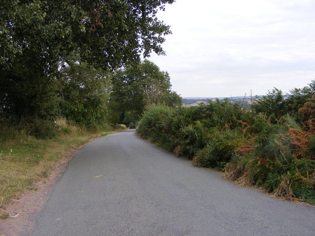
Hare Covert, located in Staffordshire, England, is a picturesque woodland area known for its natural beauty and diverse flora and fauna. Covering an expansive area, Hare Covert is a thriving forest that offers a tranquil retreat for nature enthusiasts and outdoor adventurers alike.

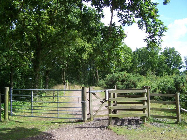
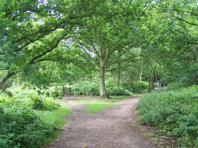
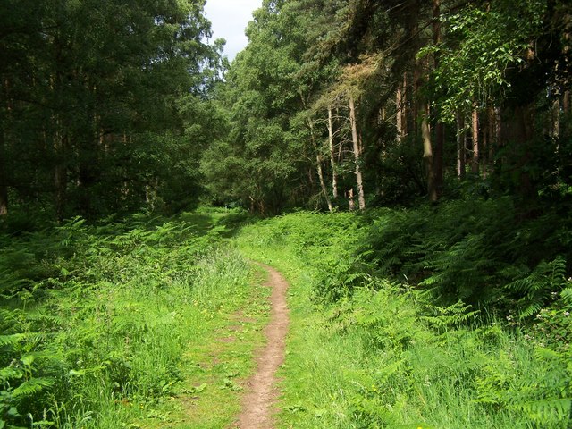
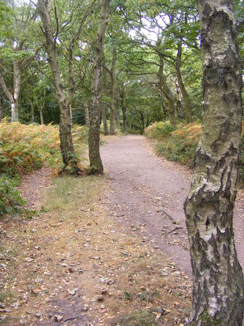
The woodland is characterized by its dense canopy of trees, primarily consisting of oak, birch, and beech, creating a lush and vibrant environment. These trees provide a habitat for a myriad of wildlife, including deer, foxes, rabbits, and an array of bird species. Nature enthusiasts can often spot these animals as they explore the well-marked trails that crisscross the woodland.

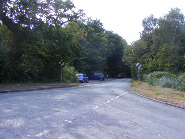
Hare Covert is not only a haven for wildlife, but it also offers a range of recreational activities for visitors. The forest boasts several walking and cycling trails, providing opportunities for both leisurely strolls and more challenging hikes. Additionally, the forest is equipped with picnic areas and designated spots for camping, offering visitors the chance to fully immerse themselves in the natural surroundings.

For those interested in learning more about the woodland and its inhabitants, Hare Covert hosts educational programs and guided tours. These initiatives aim to promote conservation and raise awareness about the importance of preserving the natural environment.

Overall, Hare Covert in Staffordshire stands as a testament to the beauty of the English countryside, offering a serene and enchanting experience for all who visit.

If you have any feedback on the listing, please let us know in the comments section below.
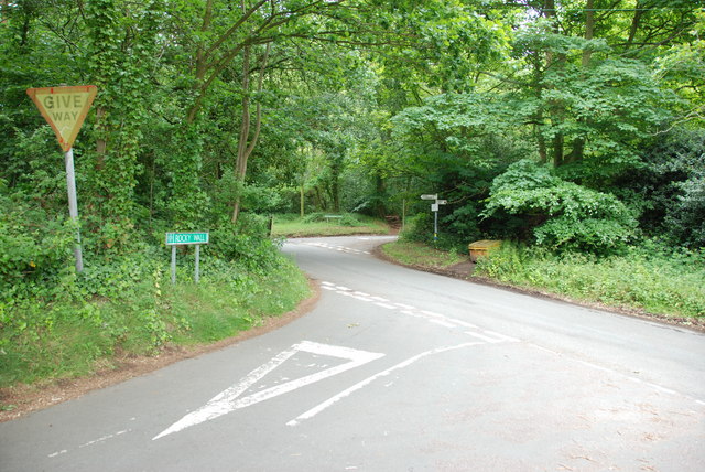
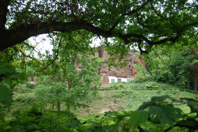
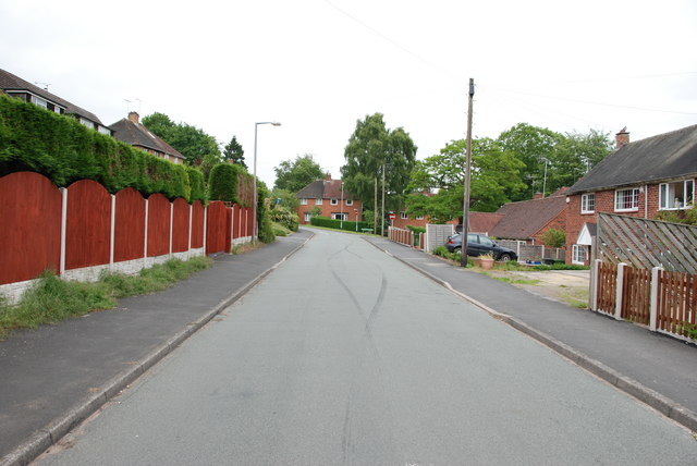
Hare Covert Images

Images are sourced within 2km of 52.44/-2.2312682 or Grid Reference SO8482. Thanks to Geograph Open Source API. All images are credited.

The Old Grammar School The school from 1511 stands alongside the Holloway in Kinver and is now a private house.
The Old Grammar School
The school from 1511 stands alongside the Holloway in Kinver and is now a private house.
The Cross Inn The Kinver Pub stands on the corner of Church Hill and Dark Lane.
The Cross Inn
The Kinver Pub stands on the corner of Church Hill and Dark Lane.
Inside the Cross Inn The Kinver Pub on Church Hill.
Inside the Cross Inn
The Kinver Pub on Church Hill.
Grammar School Plaque The plaque on the front of the former school house in Dark Lane Kinver. See <a href="https://www.geograph.org.uk/photo/2338355">SO8483 : The Old Grammar School</a>
Grammar School Plaque
The plaque on the front of the former school house in Dark Lane Kinver. See SO8483 : The Old Grammar School
Crossroads Near Holy Austin Rock, Kinver. These Crossroads are at the Kinver end of Kingsford Lane.
Crossroads Near Holy Austin Rock, Kinver.
These Crossroads are at the Kinver end of Kingsford Lane.
Holy Austin Rock, Kinver. One of the Rock houses has been restored, and is open to the public at certain times.The others have been closed off, as is evident from the Photo, for Health & Safety reasons.
Holy Austin Rock, Kinver.
One of the Rock houses has been restored, and is open to the public at certain times.The others have been closed off, as is evident from the Photo, for Health & Safety reasons.
Entrance To Huntsmans Drive, Kinver
Staffordshire Way Nearing Kinver
Staffordshire Way On Kinver Edge
View From Kinver Edge
Footpath In Kingsford Forest Park
View From Kingsford Forest Park
Gipsy Lane The lane runs from Kinver Edge to Cookley Lane.
Gipsy Lane
The lane runs from Kinver Edge to Cookley Lane.
Gipsy Lane View The Kinver Edge lane at its junction with Cookley Lane.
Gipsy Lane View
The Kinver Edge lane at its junction with Cookley Lane.
Gipsy Lane The lane runs from Kinver Edge towards Cookley Lane.
Gipsy Lane
The lane runs from Kinver Edge towards Cookley Lane.
Kinver Edge Car Park The car and picnic site at the junction of Sandy Lane and Gipsy Lane.
Kinver Edge Car Park
The car and picnic site at the junction of Sandy Lane and Gipsy Lane.
Kinver Ridge Path The footpath runs along the ridge of Kinver Edge.
Kinver Ridge Path
The footpath runs along the ridge of Kinver Edge.
Kinver Lane Junction The view along Compton Road from Meddings Lane, next to Kinver Edge National Trust woodland.
Kinver Lane Junction
The view along Compton Road from Meddings Lane, next to Kinver Edge National Trust woodland.
Show me another place!

Hare Covert is located at Grid Ref: SO8482 (Lat: 52.44, Lng: -2.2312682)

Administrative County: Staffordshire

District: South Staffordshire

Police Authority: Staffordshire

What 3 Words

///fetching.brave.fussy. Near Kinvere, Staffordshire

Nearby Locations

Hare Covert

Related Wikis

Kinver

Kinver is a large village in the District of South Staffordshire in Staffordshire, England. It is in the far south-west of the county, at the end of the...

Kinver Edge Hillfort

Kinver Edge Hillfort, is a univallate Iron Age hillfort with a massive rampart and outer ditch along the south-west and south-east sides, with natural...

Kingsford Country Park

Kingsford Country Park, officially Kingsford Forest Park, was in Worcestershire, England, U.K. and managed by Worcestershire County Council. It adjoined...

Kinver Edge

Kinver Edge is a high heath and woodland escarpment just west of Kinver, about four miles west of Stourbridge, and four miles north of Kidderminster, and...

Nearby Amenities

Located within 500m of 52.44,-2.2312682
Barrier: yes
Lat/Long: 52.4417607/-2.225178
Junction: roundabout
Lat/Long: 52.4427658/-2.2368832
The data included in this document is from www.openstreetmap.org. The data is made available under ODbL.

Have you been to Hare Covert?

Leave your review of Hare Covert below (or comments, questions and feedback).