Westomley Wood

Wood, Forest in Staffordshire Newcastle-under-Lyme

England

Westomley Wood

St. Andrew's Church in the Westlands Situated at the top of Pilkington Avenue on the north side of the square
St. Andrew's Church in the Westlands Credit: David Gill

Westonley Wood is a serene and picturesque forest located in the county of Staffordshire, England. Spanning an area of approximately 100 acres, it is nestled within the gently rolling landscape of the Staffordshire Moorlands. This enchanting woodland is known for its diverse range of flora and fauna, making it a haven for nature enthusiasts and wildlife lovers alike.

The wood boasts an impressive variety of tree species, including oak, beech, birch, and ash, creating a rich and vibrant canopy that provides shade and shelter for a plethora of woodland creatures. The forest floor is adorned with a lush carpet of wildflowers, such as bluebells and primroses, which bloom during the spring, adding a burst of color to the landscape.

Westonley Wood is crisscrossed by meandering footpaths that allow visitors to explore its hidden nooks and crannies. These paths wind through the forest, leading to secluded clearings, babbling brooks, and charming ponds. The tranquil atmosphere provides the perfect setting for leisurely walks, picnics, and birdwatching, with an array of bird species, including woodpeckers and kingfishers, calling the wood their home.

The forest is also home to a variety of mammals, including deer, foxes, and badgers. Nature lovers may catch a glimpse of these elusive creatures as they go about their daily activities. Additionally, the wood is a sanctuary for smaller mammals, such as squirrels and rabbits, which can often be spotted darting through the undergrowth.

Overall, Westonley Wood is a captivating natural wonder, offering a peaceful escape from the hustle and bustle of modern life. Its beauty and biodiversity make it a cherished spot for both locals and visitors to Staffordshire.

If you have any feedback on the listing, please let us know in the comments section below.

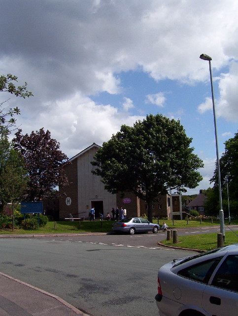
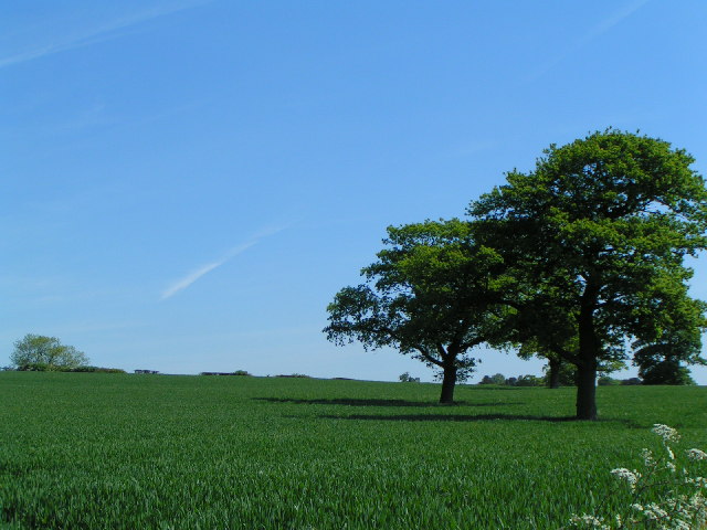
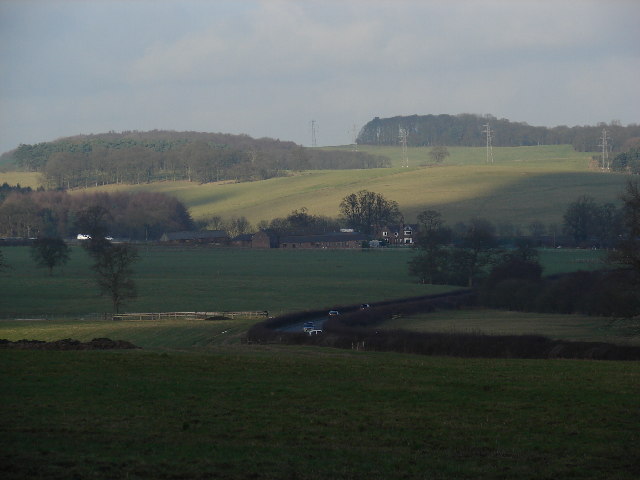
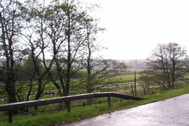
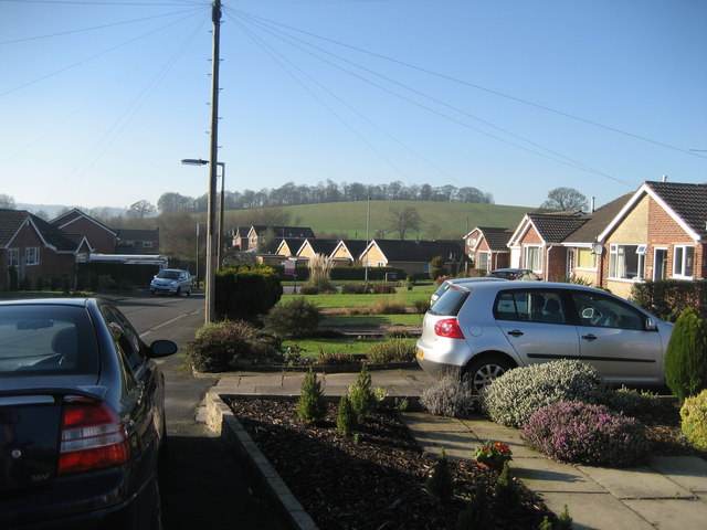
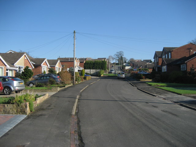
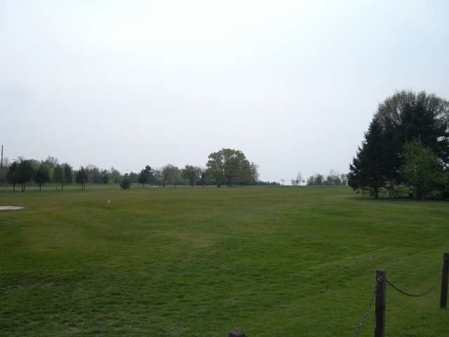
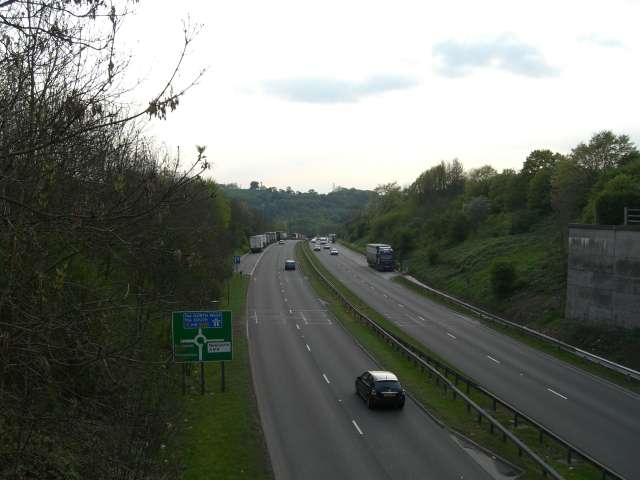
Westomley Wood Images

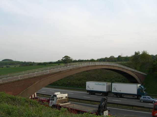
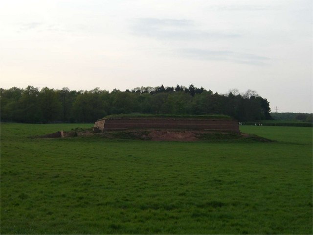
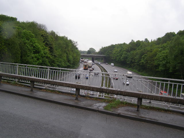
Images are sourced within 2km of 52.984387/-2.234466 or Grid Reference SJ8443. Thanks to Geograph Open Source API. All images are credited.

St. Andrew's Church in the Westlands Situated at the top of Pilkington Avenue on the north side of the square
St. Andrew's Church in the Westlands
Situated at the top of Pilkington Avenue on the north side of the square
View up the hill Taken from the lane running south-west from the village of Hanchurch
View up the hill
Taken from the lane running south-west from the village of Hanchurch
M6 Northbound Congestion. Just after junction 15 north on Friday 2 Dec 2005 note the lack of traffic on the southbound carriageway.
M6 Northbound Congestion.
Just after junction 15 north on Friday 2 Dec 2005 note the lack of traffic on the southbound carriageway.
Green Fields near The Lymes Looking down over some very "English" green fields over the A53 towards The Lymes farm from the road up to Shutlanehead. For anyone wishing to travel along the track from Shutlanehead to The Pleck, be warned that there's not really a track and it's pretty inaccessible at the best of times.
Green Fields near The Lymes
Looking down over some very "English" green fields over the A53 towards The Lymes farm from the road up to Shutlanehead. For anyone wishing to travel along the track from Shutlanehead to The Pleck, be warned that there's not really a track and it's pretty inaccessible at the best of times.
Butterton Grange Stud Farm This new exercise area is alongside the M6 near jn 15
Butterton Grange Stud Farm
This new exercise area is alongside the M6 near jn 15
Church of St James the Great in Clayton near Newcastle under Lyme Photo taken from other side of A519 which passes in front of church.
Note the unusual A frame construction and superb copper covered roof.
Church of St James the Great in Clayton near Newcastle under Lyme
Photo taken from other side of A519 which passes in front of church. Note the unusual A frame construction and superb copper covered roof.
Kennet  Close Newcastle-under-Lyme Looking down the road towards Rowley Wood.
Kennet Close Newcastle-under-Lyme
Looking down the road towards Rowley Wood.
Kennet Close looking in the other direction from picture <a href="https://www.geograph.org.uk/photo/327505">SJ8443 : Kennet  Close Newcastle-under-Lyme</a>
Kennet Close
looking in the other direction from picture SJ8443 : Kennet Close Newcastle-under-Lyme
United Reformed Church, Clayton
Newcastle and Hartshill Cricket Club, Clayton
Newcastle Town F.C. This is the football club in Newcastle-under-Lyme not the perhaps slightly more famous one a bit further north.
Newcastle Town F.C.
This is the football club in Newcastle-under-Lyme not the perhaps slightly more famous one a bit further north.
Newcastle Golf Club - Clubhouse
Newcastle Golf Club View across the golf course from just in front of the clubhouse.
Newcastle Golf Club
View across the golf course from just in front of the clubhouse.
A500 looking towards M6 J15
Farm Buildings near A500
Footbridge over the M6
Reservoir This small reservoir is in a field alongside the A534. The small wood behind it is the entertainingly named "Pie Rough".
Reservoir
This small reservoir is in a field alongside the A534. The small wood behind it is the entertainingly named "Pie Rough".
M6 Motorway, looking south. Comparatively light traffic flow on the M6 from the A5182 road bridge.
M6 Motorway, looking south.
Comparatively light traffic flow on the M6 from the A5182 road bridge.
Show me another place!

Westomley Wood is located at Grid Ref: SJ8443 (Lat: 52.984387, Lng: -2.234466)

Administrative County: Staffordshire

District: Newcastle-under-Lyme

Police Authority: Staffordshire

What 3 Words

///wheels.fails.grant. Near Newcastle under Lyme, Staffordshire

Nearby Locations

Rowley Wood Westomley Wood

Related Wikis

Clayton, Staffordshire

Clayton is a suburb and a ward in the Newcastle-under-Lyme district, in the county of Staffordshire, England. == Today == Clayton lies on the boundary...

Seabridge

Seabridge is a suburb of Newcastle-under-Lyme in Staffordshire, England. The origin of the name "Seabridge" is unknown as it is situated in the midlands...

Clayton Hall Academy

Clayton Hall Academy is a mixed secondary school located in the Clayton area of Newcastle-under-Lyme in the English county of Staffordshire. == History... ==

Westlands, Staffordshire

Westlands is a suburban area and ward in Newcastle-under-Lyme, Staffordshire. == Religion == The Church in the Westlands is a local ecumenical partnership...

Oak Hill, Staffordshire

Oak Hill is an area in Stoke-on-Trent. == References ==

Newcastle Town F.C.

Newcastle Town Football Club is a football club based in Newcastle-under-Lyme, Staffordshire, England. They are currently members of the Northern Premier...

Thistleberry (ward)

Thistleberry is a ward of the Borough of Newcastle-under-Lyme, located west of Newcastle town centre, in the county of Staffordshire, England. In 2021...
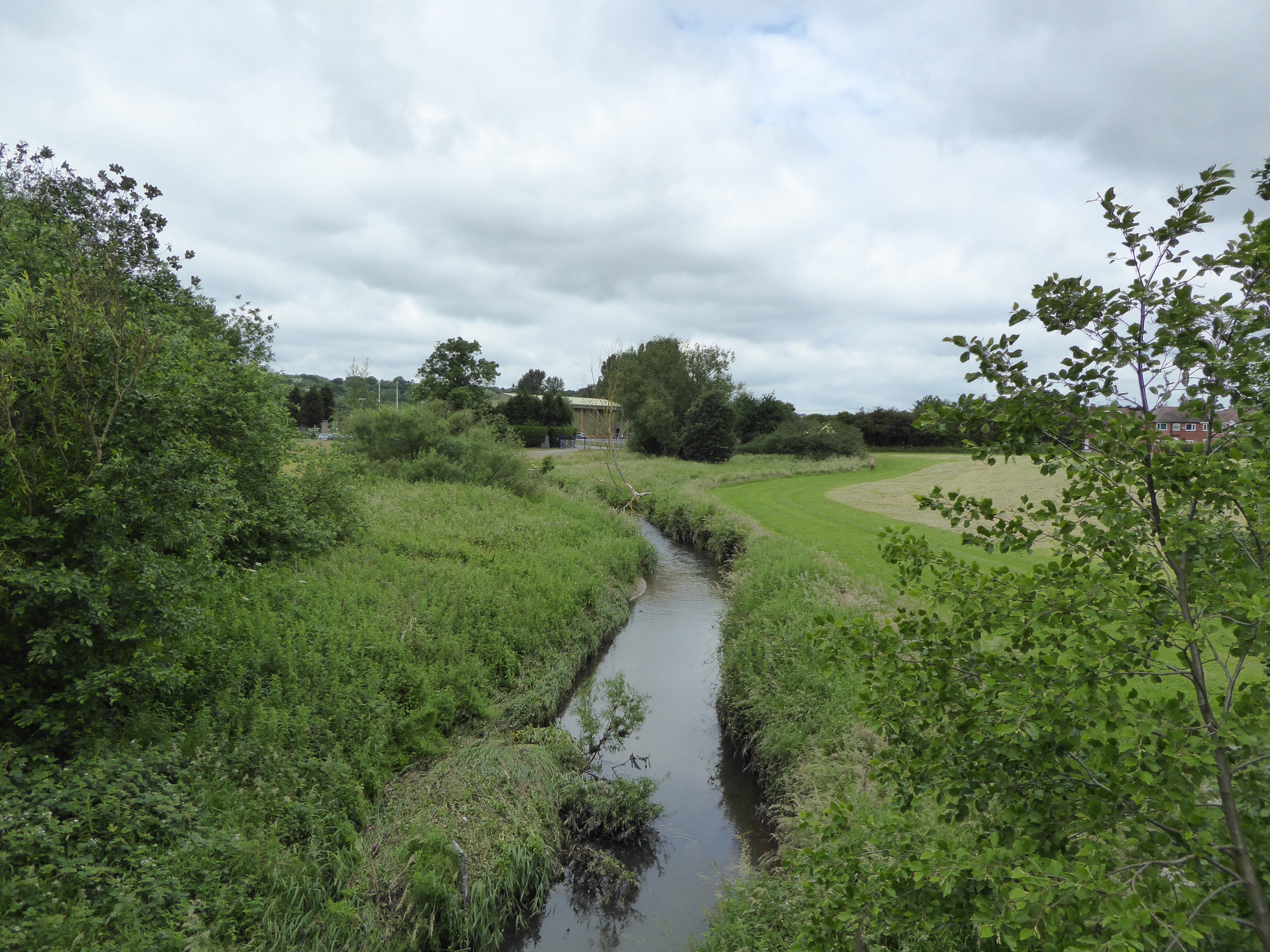
Lyme Brook

Lyme Brook is a tributary stream of the River Trent, which flows through Newcastle-under-Lyme, and the outlying areas of Stoke-on-Trent in Staffordshire...

Nearby Amenities

Located within 500m of 52.984387,-2.234466
Bus Stop
Cavendish Grove
Bus: yes
Naptan AtcoCode: 3800C513501
Naptan Bearing: NW
Naptan CommonName: Cavendish Grove
Naptan Indicator: Opp
Naptan Street: Wye Road
Naptan Verified: no
Public Transport: platform
Source: naptan_import
Lat/Long: 52.9863688/-2.2317242
Bus Stop
Brookwood Close
Bus: yes
Naptan AtcoCode: 3800C513502
Naptan Bearing: SE
Naptan CommonName: Brookwood Close
Naptan Indicator: Opp
Naptan Street: Wye Road
Naptan Verified: no
Public Transport: platform
Source: naptan_import
Lat/Long: 52.9861905/-2.2309635
Bus Stop
Trent Grove
Bus: yes
Naptan AtcoCode: 3800C530801
Naptan Bearing: W
Naptan CommonName: Trent Grove
Naptan Indicator: Opp
Naptan Landmark: Trent Grove
Naptan PlusbusZoneRef: STOKEOT
Naptan Street: Wye Rd
Naptan Verified: no
Public Transport: platform
Source: naptan_import
Lat/Long: 52.987678/-2.2334294
Bus Stop
Mersey Road
Bus: yes
Naptan AtcoCode: 3800C530802
Naptan Bearing: E
Naptan CommonName: Mersey Road
Naptan Indicator: Opp
Naptan Landmark: Mersey Road
Naptan PlusbusZoneRef: STOKEOT
Naptan Street: Wye Rd
Naptan Verified: no
Public Transport: platform
Source: naptan_import
Lat/Long: 52.9878392/-2.2337133
Bus Stop
Ashridge Avenue
Bus: yes
Naptan AtcoCode: 3800C595102
Naptan Bearing: N
Naptan CommonName: Ashridge Avenue
Naptan Indicator: Opp
Naptan Landmark: Woodbridge Rd
Naptan PlusbusZoneRef: STOKEOT
Naptan Street: Westbury Rd
Naptan Verified: no
Public Transport: platform
Source: naptan_import
Lat/Long: 52.9830406/-2.228206
Bus Stop
Terrington Drive
Bus: yes
Naptan AtcoCode: 3800C595201
Naptan Bearing: NW
Naptan CommonName: Terrington Drive
Naptan Indicator: Adj
Naptan Landmark: Terrington Drive
Naptan PlusbusZoneRef: STOKEOT
Naptan Street: Westbury Road
Naptan Verified: no
Public Transport: platform
Source: naptan_import
Lat/Long: 52.9840713/-2.2298053
Bus Stop
Terrington Drive
Bus: yes
Naptan AtcoCode: 3800C595202
Naptan Bearing: SE
Naptan CommonName: Terrington Drive
Naptan Indicator: Opp
Naptan Landmark: Terrington Dr
Naptan PlusbusZoneRef: STOKEOT
Naptan Street: Westbury Rd
Naptan Verified: no
Public Transport: platform
Source: naptan_import
Lat/Long: 52.9840448/-2.2295221
Bus Stop
Meakin Avenue
Bus: yes
Naptan AtcoCode: 3800C595301
Naptan Bearing: NE
Naptan BusStopType: CUS
Naptan CommonName: Meakin Avenue
Naptan Indicator: Adj
Naptan Landmark: Meakin Avenue
Naptan PlusbusZoneRef: STOKEOT
Naptan Street: Westbury Road
Naptan Verified: no
Public Transport: platform
Source: naptan_import
Lat/Long: 52.9863459/-2.2296386
Westbury Park
Place: hamlet
Lat/Long: 52.9850014/-2.2291767
Source: gps_tracks
Lat/Long: 52.9812616/-2.2303156
Source: gps_tracks
Lat/Long: 52.9823442/-2.2329864
Source: gps_tracks
Lat/Long: 52.9828103/-2.2318671
Source: gps_tracks
Lat/Long: 52.982473/-2.2318426
Source: gps_tracks
Lat/Long: 52.9826653/-2.232414
Source: gps_tracks
Lat/Long: 52.9829249/-2.2323635
Source: gps_tracks
Lat/Long: 52.9821253/-2.2324858
Source: gps_tracks
Lat/Long: 52.9819831/-2.2313592
Source: gps_tracks
Lat/Long: 52.9821933/-2.2311814
Source: gps_tracks
Lat/Long: 52.9826617/-2.2314103
Source: gps_tracks
Lat/Long: 52.9824937/-2.2309309
Source: gps_tracks
Lat/Long: 52.9823739/-2.2305998
Source: gps_tracks
Lat/Long: 52.9830069/-2.2311139
Source: gps_tracks
Lat/Long: 52.9842989/-2.2311233
Source: gps_tracks
Lat/Long: 52.9829796/-2.2323158
Source: gps_tracks
Lat/Long: 52.9832297/-2.2303103
Source: gps_tracks
Lat/Long: 52.9835491/-2.2317876
Source: gps_tracks
Lat/Long: 52.9832192/-2.2306001
Source: gps_tracks
Lat/Long: 52.9833453/-2.231061
Source: gps_tracks
Lat/Long: 52.9838166/-2.2303104
Source: gps_tracks
Lat/Long: 52.9837639/-2.2306948
Source: gps_tracks
Lat/Long: 52.9863618/-2.2334778
Source: gps_tracks
Lat/Long: 52.9846896/-2.2322994
Source: gps_tracks
Lat/Long: 52.984532/-2.2321335
Source: gps_tracks
Lat/Long: 52.9849278/-2.2316321
Source: gps_tracks
Lat/Long: 52.9848191/-2.232004
Source: gps_tracks
Lat/Long: 52.9847069/-2.2323073
Source: gps_tracks
Lat/Long: 52.9856621/-2.2317358
Source: gps_tracks
Lat/Long: 52.9856638/-2.2319648
Source: gps_tracks
Lat/Long: 52.9847314/-2.2304234
Source: gps_tracks
Lat/Long: 52.9846021/-2.231007
Source: gps_tracks
Lat/Long: 52.9844009/-2.230859
Source: gps_tracks
Lat/Long: 52.984964/-2.2311992
Source: gps_tracks
Lat/Long: 52.9843389/-2.2310135
Source: gps_tracks
Lat/Long: 52.9849386/-2.2305044
Source: gps_tracks
Lat/Long: 52.9845744/-2.2303063
Source: gps_tracks
Lat/Long: 52.9848426/-2.2304716
Source: gps_tracks
Lat/Long: 52.9846254/-2.2303414
Source: gps_tracks
Lat/Long: 52.985038/-2.2311634
Source: gps_tracks
Lat/Long: 52.985322/-2.2305654
Source: gps_tracks
Lat/Long: 52.9855782/-2.2305217
Source: gps_tracks
Lat/Long: 52.9850424/-2.2305502
Source: gps_tracks
Lat/Long: 52.9856268/-2.231152
Source: gps_tracks
Lat/Long: 52.9857143/-2.2321688
Source: gps_tracks
Lat/Long: 52.9858236/-2.2323031
Source: gps_tracks
Lat/Long: 52.9859632/-2.2324313
Source: gps_tracks
Lat/Long: 52.9860876/-2.2324816
Source: gps_tracks
Lat/Long: 52.9861515/-2.2324034
Source: gps_tracks
Lat/Long: 52.9863266/-2.2319907
Source: gps_tracks
Lat/Long: 52.9865825/-2.2329352
Source: gps_tracks
Lat/Long: 52.9866199/-2.2329133
Source: gps_tracks
Lat/Long: 52.9868965/-2.2323598
Source: gps_tracks
Lat/Long: 52.9865151/-2.23187
Source: gps_tracks
Lat/Long: 52.9870631/-2.2324774
Source: gps_tracks
Lat/Long: 52.9867603/-2.2322188
Source: gps_tracks
Lat/Long: 52.9866426/-2.2320624
Source: gps_tracks
Lat/Long: 52.9857714/-2.2304496
Source: gps_tracks
Lat/Long: 52.9860684/-2.2301117
Source: gps_tracks
Lat/Long: 52.9861317/-2.2309811
Source: gps_tracks
Lat/Long: 52.9857227/-2.2314844
Source: gps_tracks
Lat/Long: 52.9858884/-2.230364
Source: gps_tracks
Lat/Long: 52.9815302/-2.2295907
Source: gps_tracks
Lat/Long: 52.9814418/-2.2289405
Source: gps_tracks
Lat/Long: 52.9812903/-2.2300813
Source: gps_tracks
Lat/Long: 52.9821414/-2.2300736
Source: gps_tracks
Lat/Long: 52.9817089/-2.2293119
Source: gps_tracks
Lat/Long: 52.9818909/-2.2295953
Source: gps_tracks
Lat/Long: 52.9826271/-2.2291388
Source: gps_tracks
Lat/Long: 52.9827479/-2.2298628
Source: gps_tracks
Lat/Long: 52.9826134/-2.2299396
Source: gps_tracks
Lat/Long: 52.9826675/-2.2298117
Source: gps_tracks
Lat/Long: 52.982465/-2.2295597
Source: gps_tracks
Lat/Long: 52.9820894/-2.2286819
Source: gps_tracks
Lat/Long: 52.9821872/-2.2287278
Source: gps_tracks
Lat/Long: 52.9822592/-2.2282736
Source: gps_tracks
Lat/Long: 52.982388/-2.2279581
Source: gps_tracks
Lat/Long: 52.982885/-2.228051
Source: gps_tracks
Lat/Long: 52.9827061/-2.2276683
Source: gps_tracks
Lat/Long: 52.9823259/-2.2288198
Source: gps_tracks
Lat/Long: 52.982884/-2.2284698
Source: gps_tracks
Lat/Long: 52.9824386/-2.2278352
Source: gps_tracks
Lat/Long: 52.9828168/-2.2279195
Source: gps_tracks
Lat/Long: 52.9829938/-2.2282748
Source: gps_tracks
Lat/Long: 52.9841784/-2.2298815
Source: gps_tracks
Lat/Long: 52.9831043/-2.2284139
Source: gps_tracks
Lat/Long: 52.983719/-2.2292548
Source: gps_tracks
Lat/Long: 52.983493/-2.2297388
Source: gps_tracks
Lat/Long: 52.9837606/-2.2300959
Source: gps_tracks
Lat/Long: 52.9844208/-2.2301685
Source: gps_tracks
Lat/Long: 52.9853522/-2.2275364
Source: gps_tracks
Lat/Long: 52.9861777/-2.2298818
Source: gps_tracks
Lat/Long: 52.986031/-2.2290278
Source: gps_tracks
Lat/Long: 52.9860666/-2.2289671
Source: gps_tracks
Lat/Long: 52.9862195/-2.2289701
Source: gps_tracks
Lat/Long: 52.9857408/-2.228082
Source: gps_tracks
Lat/Long: 52.9861104/-2.2284836
Source: gps_tracks
Lat/Long: 52.9858836/-2.2282152
Source: gps_tracks
Lat/Long: 52.9866074/-2.2283412
Source: gps_tracks
Lat/Long: 52.9853657/-2.2273019
Source: gps_tracks
Lat/Long: 52.9853387/-2.227447
Source: gps_tracks
Lat/Long: 52.9851311/-2.2274555
Source: gps_tracks
Lat/Long: 52.9884204/-2.2352762
Source: gps_tracks
Lat/Long: 52.9882451/-2.235195
Source: gps_tracks
Lat/Long: 52.9881168/-2.2349916
Source: gps_tracks
Lat/Long: 52.9877647/-2.2335775
Source: gps_tracks
Lat/Long: 52.9875989/-2.2331316
Source: gps_tracks
Lat/Long: 52.988618/-2.2351993
Source: gps_tracks
Lat/Long: 52.9877195/-2.230799
Source: gps_tracks
Lat/Long: 52.9874412/-2.2328323
Source: gps_tracks
Lat/Long: 52.987219/-2.2325296
Source: gps_tracks
Lat/Long: 52.9873191/-2.2326172
Source: gps_tracks
Lat/Long: 52.9874532/-2.2301733
Source: gps_tracks
Lat/Long: 52.9875941/-2.2302789
Source: gps_tracks
Lat/Long: 52.9862963/-2.2292515
Source: gps_tracks
Lat/Long: 52.986396/-2.2293361
Source: gps_tracks
Lat/Long: 52.9867864/-2.2341138
Source: gps_tracks
Lat/Long: 52.9864492/-2.2317507
Source: gps_tracks
Lat/Long: 52.9864105/-2.2316626
Source: gps_tracks
Lat/Long: 52.9861224/-2.2309501
Source: gps_tracks
Lat/Long: 52.9866671/-2.2312447
Source: gps_tracks
Lat/Long: 52.9868399/-2.2304766
Source: gps_tracks
Lat/Long: 52.9869683/-2.2304237
Source: gps_tracks
Lat/Long: 52.9870732/-2.2304904
Source: gps_tracks
Lat/Long: 52.9867971/-2.2314234
Source: gps_tracks
Lat/Long: 52.9863824/-2.2303665
Source: gps_tracks
Lat/Long: 52.9863624/-2.230528
Source: gps_tracks
Lat/Long: 52.9864294/-2.2306463
Source: gps_tracks
Lat/Long: 52.9858477/-2.229719
Source: gps_tracks
Lat/Long: 52.985705/-2.2299959
Source: gps_tracks
Lat/Long: 52.9862651/-2.2296119
Source: gps_tracks
Lat/Long: 52.986396/-2.2295461
Source: gps_tracks
Lat/Long: 52.9863068/-2.2294821
Source: gps_tracks
Lat/Long: 52.9859597/-2.2293544
Source: gps_tracks
Lat/Long: 52.9862395/-2.2292096
Source: gps_tracks
Lat/Long: 52.9861705/-2.2294794
Source: gps_tracks
Lat/Long: 52.9861814/-2.2295409
Source: gps_tracks
Lat/Long: 52.9865783/-2.2301439
Source: gps_tracks
Lat/Long: 52.9864997/-2.2300999
Source: gps_tracks
Lat/Long: 52.9864256/-2.2302062
Source: gps_tracks
Lat/Long: 52.9864007/-2.229122
Source: gps_tracks
Lat/Long: 52.9864346/-2.2295434
Source: gps_tracks
Lat/Long: 52.9868709/-2.2291147
Source: gps_tracks
Lat/Long: 52.98649/-2.2288238
Source: gps_tracks
Lat/Long: 52.9874587/-2.2346829
Source: gps_tracks
Lat/Long: 52.9874389/-2.2341604
Source: gps_tracks
Lat/Long: 52.9874007/-2.2342391
Source: gps_tracks
Lat/Long: 52.9873809/-2.2343354
Source: gps_tracks
Lat/Long: 52.9876521/-2.2332576
Source: gps_tracks
Lat/Long: 52.9878395/-2.2338968
Source: gps_tracks
Lat/Long: 52.9877538/-2.2331443
Source: gps_tracks
Lat/Long: 52.9878164/-2.2330254
Source: gps_tracks
Lat/Long: 52.9879224/-2.2342506
Source: gps_tracks
Lat/Long: 52.9881325/-2.234026
Source: gps_tracks
Lat/Long: 52.9882518/-2.2338278
Source: gps_tracks
Lat/Long: 52.9883502/-2.2335554
Source: gps_tracks
Lat/Long: 52.9884426/-2.2332879
Source: gps_tracks
Lat/Long: 52.9875052/-2.2329712
Source: gps_tracks
Lat/Long: 52.987888/-2.2327827
Source: gps_tracks
Lat/Long: 52.9871961/-2.2306044
Source: gps_tracks
Lat/Long: 52.9876613/-2.2303416
Source: gps_tracks
Lat/Long: 52.9879847/-2.2311673
Source: gps_tracks
Lat/Long: 52.9880117/-2.2314127
Source: gps_tracks
Lat/Long: 52.9880269/-2.2314424
Source: gps_tracks
Lat/Long: 52.9883457/-2.2309557
Source: gps_tracks
Lat/Long: 52.9881116/-2.2315096
Source: gps_tracks
Lat/Long: 52.9881623/-2.2315443
Source: gps_tracks
Lat/Long: 52.9882904/-2.230912
Source: gps_tracks
Lat/Long: 52.9877633/-2.2305101
Source: gps_tracks
Lat/Long: 52.9878835/-2.2306448
Source: gps_tracks
Lat/Long: 52.987952/-2.2306954
Source: gps_tracks
Lat/Long: 52.9880991/-2.2308254
Source: gps_tracks
Lat/Long: 52.9874237/-2.229388
Source: gps_tracks
Lat/Long: 52.9872987/-2.22946
Source: gps_tracks
Lat/Long: 52.9873251/-2.2294754
Source: gps_tracks
Lat/Long: 52.9873552/-2.2297308
Source: gps_tracks
Lat/Long: 52.987301/-2.2300855
Source: gps_tracks
Lat/Long: 52.9883879/-2.2376575
Source: gps_tracks
Lat/Long: 52.9882194/-2.2379144
Source: gps_tracks
Lat/Long: 52.9881254/-2.2381852
Source: gps_tracks
Lat/Long: 52.9881089/-2.2384009
Source: gps_tracks
Lat/Long: 52.9881426/-2.2363689
Source: gps_tracks
Lat/Long: 52.9887213/-2.2351234
Source: gps_tracks
Lat/Long: 52.9884833/-2.2341932
Source: gps_tracks
Lat/Long: 52.9861979/-2.2332073
Source: gps_tracks
Lat/Long: 52.9825531/-2.2320596
Source: gps_tracks
Lat/Long: 52.9825647/-2.2320927
Source: gps_tracks
Lat/Long: 52.9864711/-2.2294011
Source: gps_tracks
Lat/Long: 52.9878056/-2.2305719
Source: gps_tracks
Lat/Long: 52.9857268/-2.2326921
Source: gps_tracks
Lat/Long: 52.9864843/-2.2337528
Source: gps_tracks
Lat/Long: 52.988581/-2.2342898
Source: gps_tracks
Lat/Long: 52.9878181/-2.2304058
Generator Method: photovoltaic
Generator Output Electricity: yes
Generator Source: solar
Generator Type: solar_photovoltaic_panel
Location: roof
Power: generator
Lat/Long: 52.9859282/-2.2290847
Generator Method: photovoltaic
Generator Output Electricity: yes
Generator Source: solar
Generator Type: solar_photovoltaic_panel
Location: roof
Power: generator
Lat/Long: 52.987073/-2.2322524
Generator Method: photovoltaic
Generator Output Electricity: yes
Generator Source: solar
Generator Type: solar_photovoltaic_panel
Location: roof
Power: generator
Lat/Long: 52.9872877/-2.2314799
Generator Method: photovoltaic
Generator Output Electricity: yes
Generator Source: solar
Generator Type: solar_photovoltaic_panel
Location: roof
Power: generator
Lat/Long: 52.987488/-2.2310105
Generator Method: photovoltaic
Generator Output Electricity: yes
Generator Source: solar
Generator Type: solar_photovoltaic_panel
Location: roof
Power: generator
Lat/Long: 52.9876236/-2.2328264
Generator Method: photovoltaic
Generator Output Electricity: yes
Generator Source: solar
Generator Type: solar_photovoltaic_panel
Location: roof
Power: generator
Lat/Long: 52.9874234/-2.2333816
Generator Method: photovoltaic
Generator Output Electricity: yes
Generator Source: solar
Generator Type: solar_photovoltaic_panel
Location: roof
Power: generator
Lat/Long: 52.987496/-2.2332984
Generator Method: photovoltaic
Generator Output Electricity: yes
Generator Source: solar
Generator Type: solar_photovoltaic_panel
Location: roof
Power: generator
Lat/Long: 52.9877867/-2.234323
Generator Method: photovoltaic
Generator Output Electricity: yes
Generator Source: solar
Generator Type: solar_photovoltaic_panel
Location: roof
Power: generator
Lat/Long: 52.9882242/-2.2307181
Generator Method: photovoltaic
Generator Output Electricity: yes
Generator Source: solar
Generator Type: solar_photovoltaic_panel
Location: roof
Power: generator
Lat/Long: 52.9885197/-2.2373432
Generator Method: photovoltaic
Generator Output Electricity: yes
Generator Source: solar
Generator Type: solar_photovoltaic_panel
Location: roof
Power: generator
Lat/Long: 52.9884325/-2.2368899
Generator Method: photovoltaic
Generator Output Electricity: yes
Generator Source: solar
Generator Type: solar_photovoltaic_panel
Location: roof
Power: generator
Lat/Long: 52.9884018/-2.2368175
Generator Method: photovoltaic
Generator Output Electricity: yes
Generator Source: solar
Generator Type: solar_photovoltaic_panel
Location: roof
Power: generator
Lat/Long: 52.9879643/-2.2363776
Source: gps_tracks
Lat/Long: 52.9823111/-2.2322787
Source: gps_tracks
Lat/Long: 52.9821253/-2.2324858
The data included in this document is from www.openstreetmap.org. The data is made available under ODbL.

Have you been to Westomley Wood?

Leave your review of Westomley Wood below (or comments, questions and feedback).