Pinnock's Coppice

Wood, Forest in Wiltshire

England

Pinnock's Coppice

Charnage Down Looking across a dry chalk combe from the A303.
Charnage Down Credit: Derek Harper

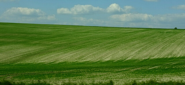
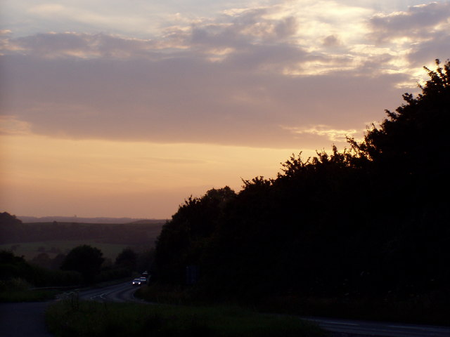
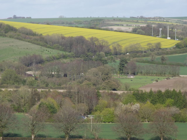
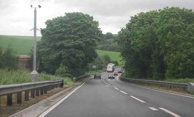
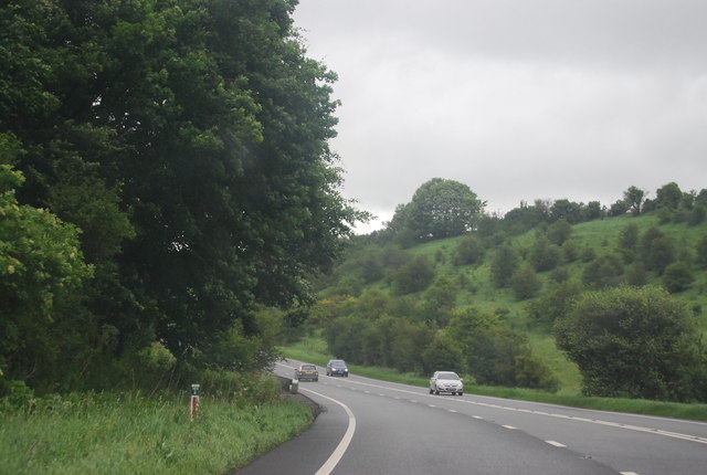
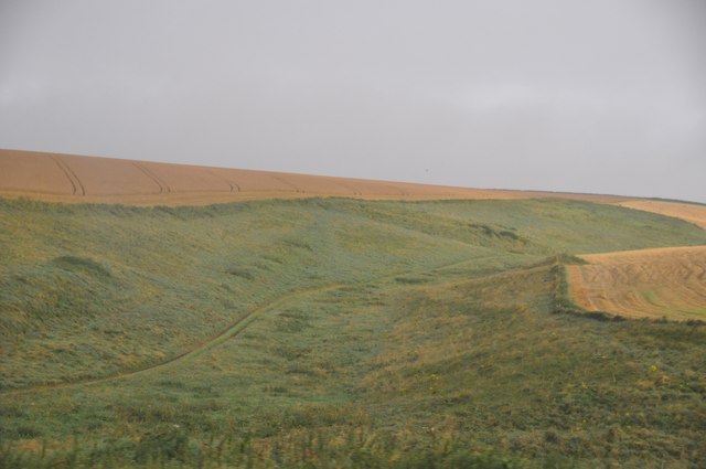
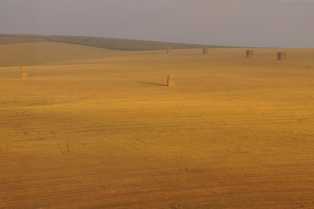
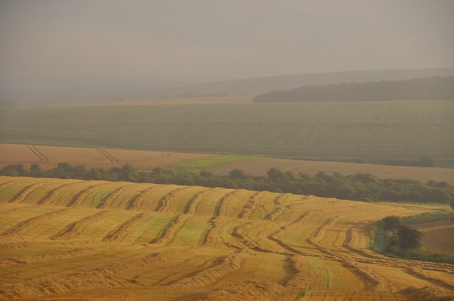
Pinnock's Coppice is a wood located in the county of Wiltshire, England. It is situated near the village of Tisbury and covers an area of approximately 50 hectares. The wood is part of the Cranborne Chase and West Wiltshire Downs Area of Outstanding Natural Beauty.

Pinnock's Coppice is predominantly made up of a mixture of broadleaf trees, including oak, beech, ash, and hazel. These trees create a dense canopy, providing shade and shelter for a variety of wildlife. The forest floor is covered in a rich carpet of moss, ferns, and wildflowers, adding to the wood's natural beauty.

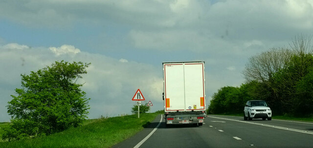
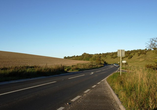
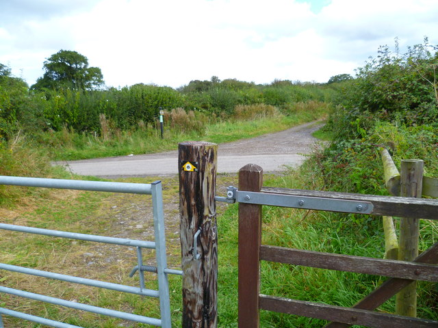
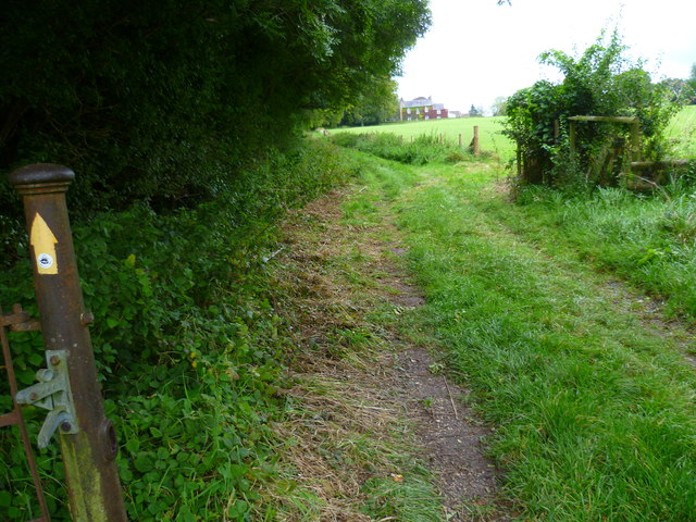
The wood is crisscrossed by a network of footpaths and trails, making it popular among walkers, hikers, and nature enthusiasts. These paths offer stunning views of the surrounding countryside and allow visitors to explore the wood at their own pace.

Pinnock's Coppice is also home to a diverse range of wildlife. Birdwatchers can spot species such as woodpeckers, owls, and warblers, while mammal sightings may include deer, foxes, and badgers. The wood's ponds and streams are inhabited by frogs, newts, and various aquatic insects.

The management of Pinnock's Coppice focuses on maintaining the wood's biodiversity and promoting sustainable woodland practices. This includes selective tree felling to promote the growth of new trees and the creation of deadwood habitats for insects and fungi.

Overall, Pinnock's Coppice offers a tranquil and picturesque woodland experience, where visitors can connect with nature and enjoy the beauty of Wiltshire's countryside.

If you have any feedback on the listing, please let us know in the comments section below.

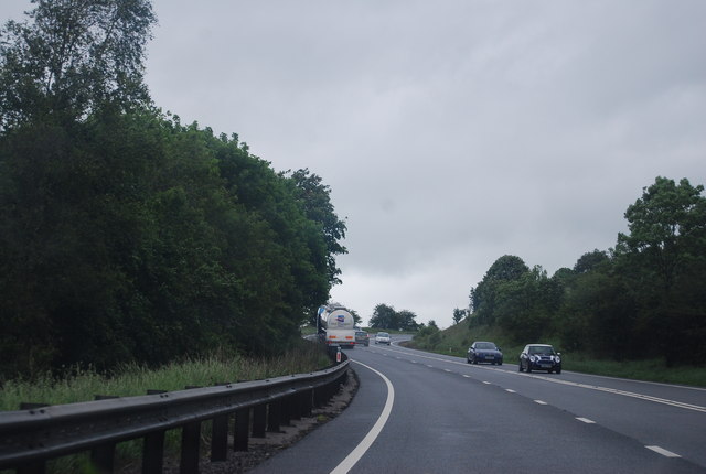
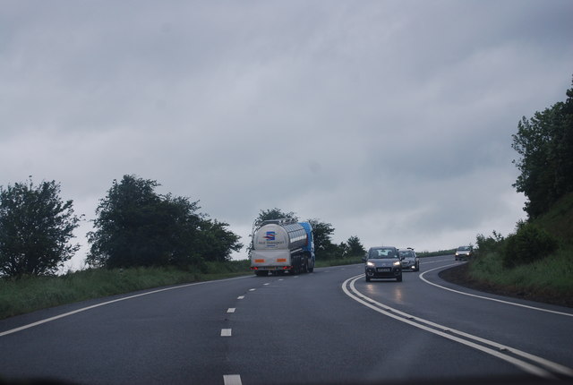
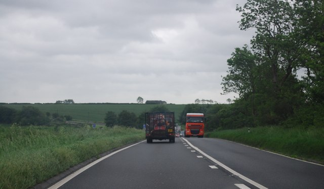
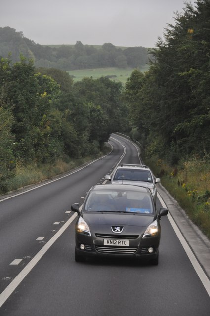
Pinnock's Coppice Images

Images are sourced within 2km of 51.090866/-2.224796 or Grid Reference ST8432. Thanks to Geograph Open Source API. All images are credited.

Charnage Down Looking across a dry chalk combe from the A303.
Charnage Down
Looking across a dry chalk combe from the A303.
Chaddenwick Hill By which the A303 climbs onto the chalk.
Chaddenwick Hill
By which the A303 climbs onto the chalk.
Mere : Chaddenwick Hill A303 Looking along Chaddenwick Hill.
Mere : Chaddenwick Hill A303
Looking along Chaddenwick Hill.
The A303 at the foot of Chaddenwick Hill
Dusk Over Dorset The A303 taken at dusk from a layby at the turning to Barrow Street near Mere.
Dusk Over Dorset
The A303 taken at dusk from a layby at the turning to Barrow Street near Mere.
East Hill, Mere Seen from the top of Castle Hill - a landscape of fields, hedgerows and undulating hills.
East Hill, Mere
Seen from the top of Castle Hill - a landscape of fields, hedgerows and undulating hills.
A303 near Pinching Pierce Barn The A303 is a main trunk road running 92 miles between Basingstoke and Honiton. Along with the A30 and M3 it forms a major route between London and the South West. Much of the road is dual carriageway, but some stretches remain single and prone to congestion.

Wikipedia: <span class="nowrap"><a title="http://en.wikipedia.org/wiki/A303_road" rel="nofollow ugc noopener" href="http://en.wikipedia.org/wiki/A303_road">Link</a><img style="margin-left:2px;" alt="External link" title="External link - shift click to open in new window" src="https://s1.geograph.org.uk/img/external.png" width="10" height="10"/></span>
A303 near Pinching Pierce Barn
The A303 is a main trunk road running 92 miles between Basingstoke and Honiton. Along with the A30 and M3 it forms a major route between London and the South West. Much of the road is dual carriageway, but some stretches remain single and prone to congestion. Wikipedia: LinkExternal link
A303 west of Chaddenwick Hill The A303 is a main trunk road running 92 miles between Basingstoke and Honiton. Along with the A30 and M3 it forms a major route between London and the South West. Much of the road is dual carriageway, but some stretches remain single and prone to congestion.

Wikipedia: <span class="nowrap"><a title="http://en.wikipedia.org/wiki/A303_road" rel="nofollow ugc noopener" href="http://en.wikipedia.org/wiki/A303_road">Link</a><img style="margin-left:2px;" alt="External link" title="External link - shift click to open in new window" src="https://s1.geograph.org.uk/img/external.png" width="10" height="10"/></span>
A303 west of Chaddenwick Hill
The A303 is a main trunk road running 92 miles between Basingstoke and Honiton. Along with the A30 and M3 it forms a major route between London and the South West. Much of the road is dual carriageway, but some stretches remain single and prone to congestion. Wikipedia: LinkExternal link
A303, Chaddenwick Hill One of the steepest hills on the A303, climbing Charnage Down.
A303, Chaddenwick Hill
One of the steepest hills on the A303, climbing Charnage Down.
Chaddenwick Hill, A303 One of the steepest hills on the A303, climbing Charnage Down.
Chaddenwick Hill, A303
One of the steepest hills on the A303, climbing Charnage Down.
The A303 The A303 is a main trunk road running 92 miles between Basingstoke and Honiton. Along with the A30 and M3 it forms a major route between London and the South West. Much of the road is dual carriageway, but some stretches remain single and prone to congestion.

Wikipedia: <span class="nowrap"><a title="http://en.wikipedia.org/wiki/A303_road" rel="nofollow ugc noopener" href="http://en.wikipedia.org/wiki/A303_road">Link</a><img style="margin-left:2px;" alt="External link" title="External link - shift click to open in new window" src="https://s1.geograph.org.uk/img/external.png" width="10" height="10"/></span>
The A303
The A303 is a main trunk road running 92 miles between Basingstoke and Honiton. Along with the A30 and M3 it forms a major route between London and the South West. Much of the road is dual carriageway, but some stretches remain single and prone to congestion. Wikipedia: LinkExternal link
Salisbury District : The A303 The A303 near Mere in Wiltshire.
Salisbury District : The A303
The A303 near Mere in Wiltshire.
Salisbury District : Grassy Countryside & Hillsides The grassy countryside and hills by the A303 in Wiltshire.
Salisbury District : Grassy Countryside & Hillsides
The grassy countryside and hills by the A303 in Wiltshire.
Salisbury District : Grassy Field & Hay Bales Looking towards a grassy field off of the A303 in the former Salisbury District.
Salisbury District : Grassy Field & Hay Bales
Looking towards a grassy field off of the A303 in the former Salisbury District.
Salisbury District : Grassy Field & Countryside In the parish of West Knowle looking out to the fields on a misty morning.
Salisbury District : Grassy Field & Countryside
In the parish of West Knowle looking out to the fields on a misty morning.
The Orange Way in Wiltshire (33) The way goes ahead, crossing the lane called Southbrook.
The Orange Way in Wiltshire (33)
The way goes ahead, crossing the lane called Southbrook.
The Orange Way in Wiltshire (34) Chaddenwick Wood is on the left.
The Orange Way in Wiltshire (34)
Chaddenwick Wood is on the left.
The Orange Way in Wiltshire (35) Here the path reaches Pimperleaze Road.
The Orange Way in Wiltshire (35)
Here the path reaches Pimperleaze Road.
Show me another place!

Pinnock's Coppice is located at Grid Ref: ST8432 (Lat: 51.090866, Lng: -2.224796)

Unitary Authority: Wiltshire

Police Authority: Wiltshire

What 3 Words

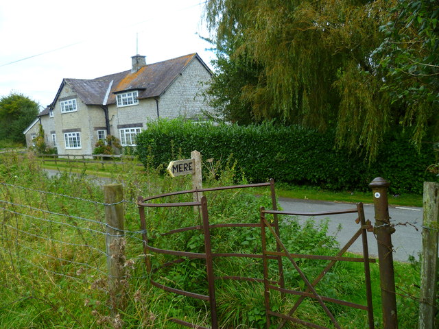
///followers.twinkled.sampled. Near Mere, Wiltshire

Related Wikis

Charnage Down Chalk Pit

Charnage Down Chalk Pit (grid reference ST837329) is a 3.7 hectare geological Site of Special Scientific Interest in Wiltshire, England, lying east of...

West Knoyle

West Knoyle is a small village and civil parish in southwest Wiltshire, England, close to the southern edge of Salisbury Plain. The village is about 2...

Hang Wood

Hang Wood (grid reference ST861319) is a 20.3 hectare biological Site of Special Scientific Interest in Wiltshire, notified in 1986. == Sources == Natural...

Barrow Street, Wiltshire

Barrow Street is a hamlet in Wiltshire, England, about 1.9 miles (3.1 km) southeast of the town of Mere. The name comes from the early Bronze Age bowl...

Mere, Wiltshire

Mere is a market town and civil parish in Wiltshire, England. It lies at the extreme southwestern tip of Salisbury Plain, close to the borders of Somerset...

Castle Hill, Mere

Castle Hill, also called Mere Castle, was a medieval fortification built by Richard, the Earl of Cornwall, in 1253 on a hill overlooking the town of Mere...

Clouds House

Clouds House, also known simply as Clouds, is a Grade II* listed building at East Knoyle in Wiltshire, England. Designed by Arts and Crafts architect Philip...

Dead Maid Quarry

Dead Maid Quarry (grid reference ST803324) is a 4,400 square metre geological Site of Special Scientific Interest in Mere, Wiltshire, England, notified...

Nearby Amenities

Located within 500m of 51.090866,-2.224796
Barrier: stile
Lat/Long: 51.0920536/-2.2280067
Post Box
Operator: Royal Mail
Post Box Type: lamp
Ref: BA12 73
Royal Cypher: EIIR
Royal Cypher Wikidata: Q33102113
Lat/Long: 51.0903378/-2.2186187
The data included in this document is from www.openstreetmap.org. The data is made available under ODbL.

Have you been to Pinnock's Coppice?

Leave your review of Pinnock's Coppice below (or comments, questions and feedback).