Lodge Belt
Wood, Forest in Staffordshire Stafford
England
Lodge Belt
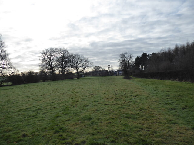
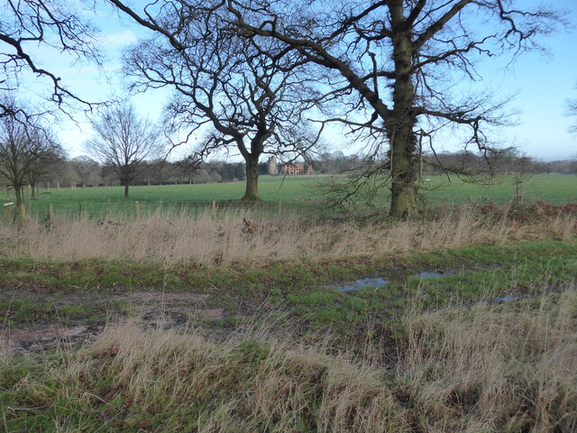
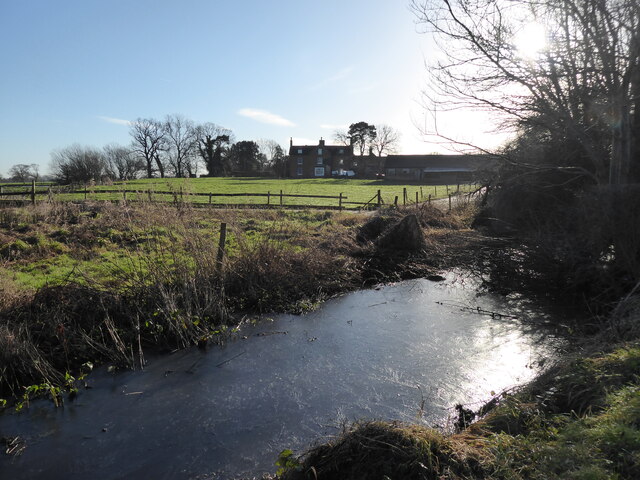
Lodge Belt is a woodland area located in the county of Staffordshire, England. Situated in the heart of the county, the forest stretches over a vast expanse of approximately 200 acres. The area is known for its dense and diverse collection of trees, making it an important habitat for a wide range of plant and animal species.
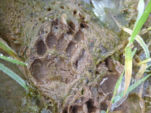
The woodland comprises mainly of deciduous trees such as oak, beech, and ash, which provide a rich canopy cover over the forest floor. This creates a unique ecosystem that supports a variety of flora and fauna. The undergrowth is carpeted with bluebells, wild garlic, and ferns, adding to the picturesque beauty of the area.
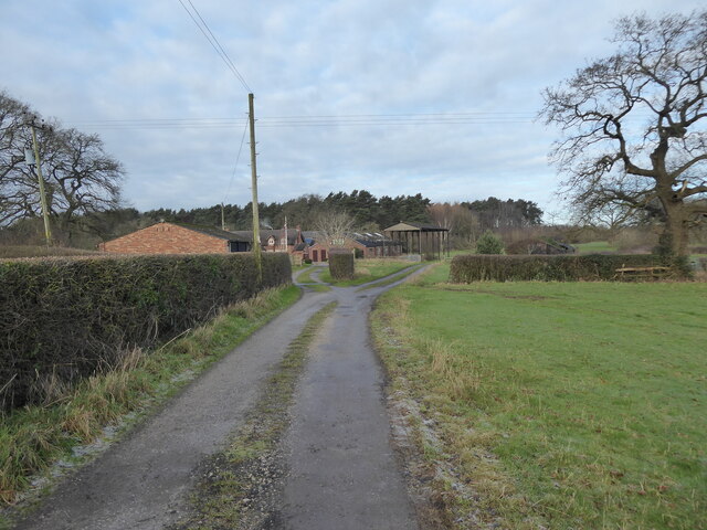
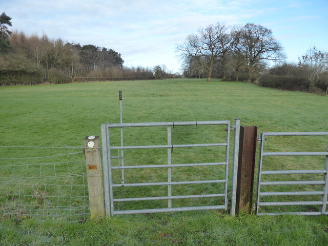
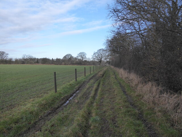
Lodge Belt is a popular destination for nature enthusiasts, offering numerous walking trails and pathways that allow visitors to explore the forest's natural wonders. The forest is also home to several species of birds, including woodpeckers, owls, and various songbirds, making it a haven for birdwatchers.
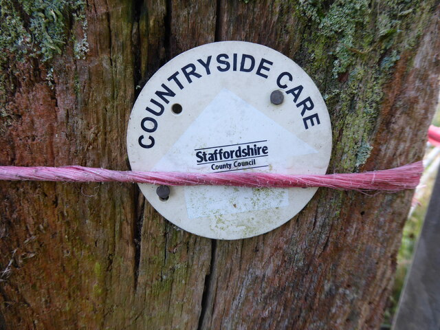
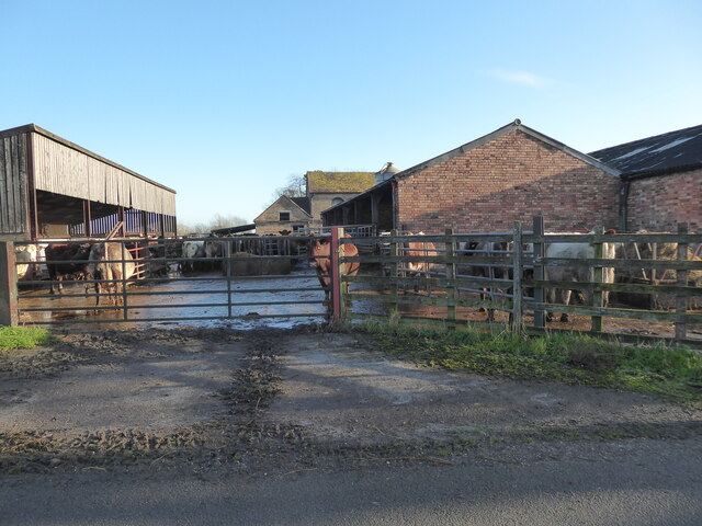
Historically, the forest played a significant role in the local timber industry, providing valuable resources for construction and fuel. Today, however, the area is primarily managed for conservation purposes, with an emphasis on preserving the natural habitat and promoting biodiversity.
Overall, Lodge Belt in Staffordshire is a captivating woodland area that offers a tranquil escape from urban life. Its rich biodiversity, scenic beauty, and accessibility make it a cherished destination for nature lovers and those seeking a peaceful retreat in the heart of Staffordshire.
If you have any feedback on the listing, please let us know in the comments section below.
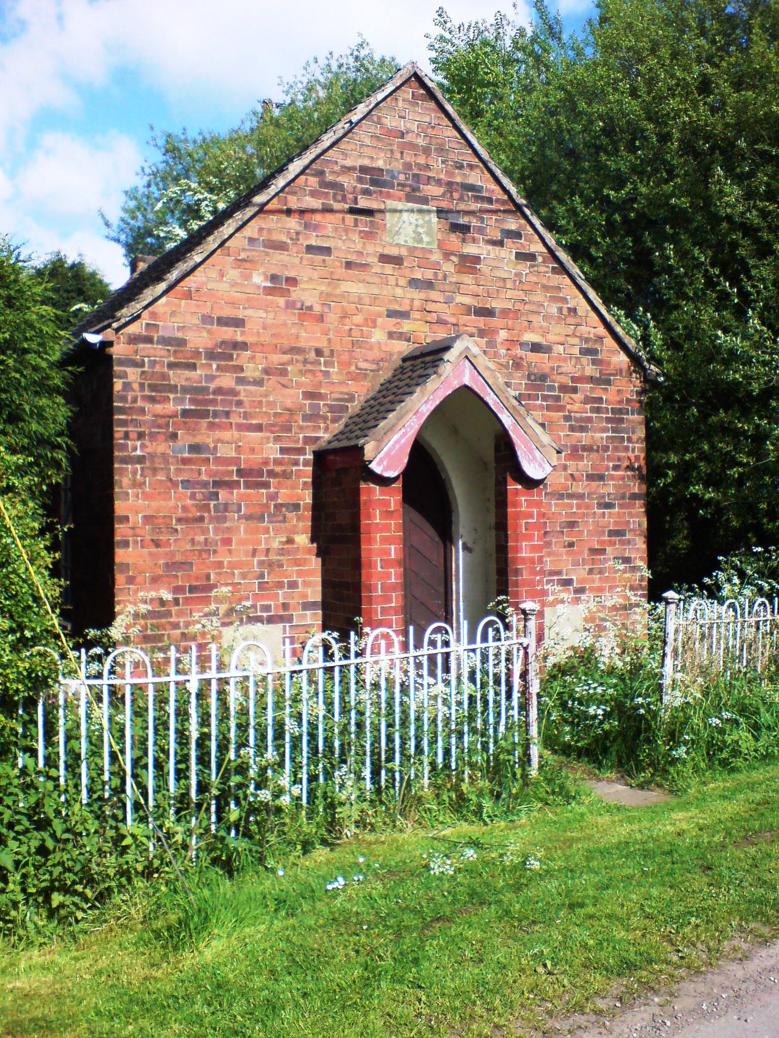
Lodge Belt Images
Images are sourced within 2km of 52.819497/-2.2336954 or Grid Reference SJ8424. Thanks to Geograph Open Source API. All images are credited.
Lodge Belt is located at Grid Ref: SJ8424 (Lat: 52.819497, Lng: -2.2336954)
Administrative County: Staffordshire
District: Stafford
Police Authority: Staffordshire
What 3 Words
///intensely.satin.chitchat. Near Gnosall, Staffordshire
Nearby Locations
Related Wikis

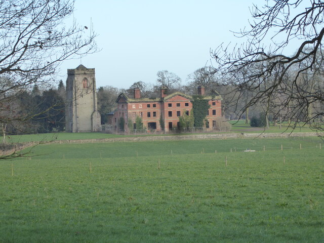
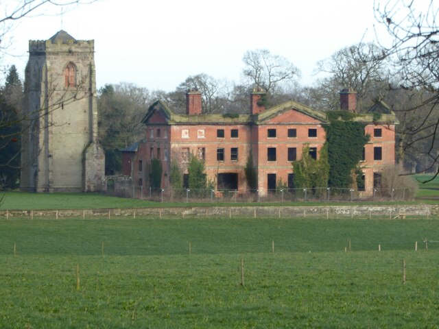
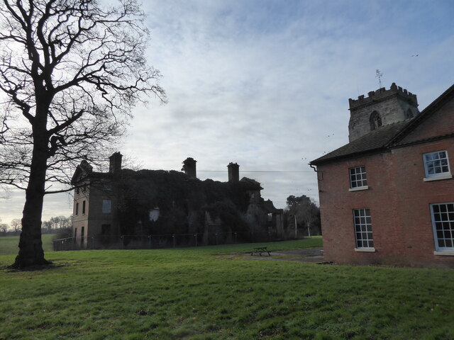
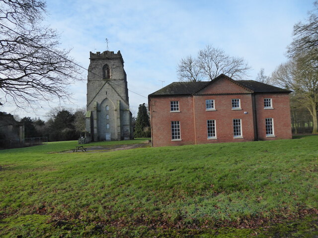
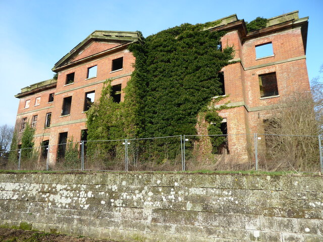
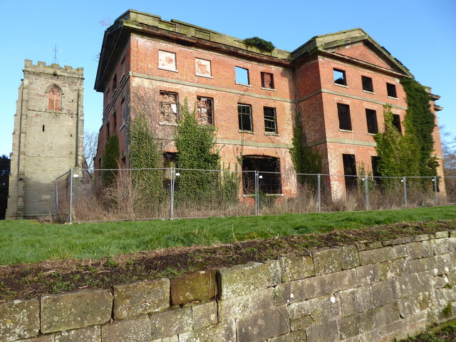
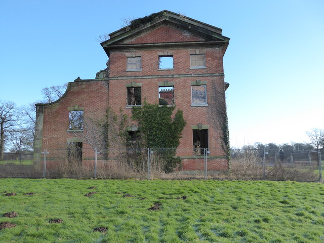
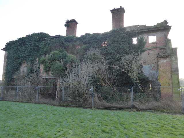
Abbey House, Ranton
Abbey House is an early 19th-century ruined stately home in Ranton, Staffordshire, England. == History == The red-brick Regency house was built in 1820...
Ranton Abbey
Ranton Abbey or Ranton Priory was an Augustinian Priory in Ranton, Staffordshire, England, built c.1150 by Robert fitz Noel of Ellenhall. The priory flourished...
Ellenhall
Ellenhall is a small Staffordshire village roughly 2.5 miles south of Eccleshall originally comprising part of the extensive estates of the Earl of Lichfield...

Ranton Green
Ranton Green is a small village in Staffordshire about a mile southwest of Ranton, Staffordshire and a mile northeast of Gnosall. It consists of a few...

Ranton, Staffordshire
Ranton is a small hamlet in Staffordshire, England, situated 3.5 miles (5.6 km) west of Stafford, 2.5 miles (4.0 km) east of Woodseaves and 2 miles (3...
Coton Clanford
Coton Clanford is a small dispersed Staffordshire village lying in gently rolling countryside 3 miles due west of Stafford, England, and 1 mile southeast...

Knightley, Staffordshire
Knightley is a hamlet and former manor in Staffordshire, England. It is situated near the villages of Gnosall and Woodseaves, now on the B5405 road. There...

Seighford
Seighford ( SY-fərd) is a village and civil parish about 3 miles (5 km) west of Stafford in Staffordshire, England. The population of this civil parish...
Nearby Amenities
Located within 500m of 52.819497,-2.2336954Have you been to Lodge Belt?
Leave your review of Lodge Belt below (or comments, questions and feedback).