Danks Down Wood

Wood, Forest in Wiltshire

England

Danks Down Wood

Castle Combe: The Public Conveniences One point of interest; we were in the designated car park a long way from the village and were told there were four spaces outside the toilets. We then parked there without restriction, a short distance from the village and its parking restrictions.
Castle Combe: The Public Conveniences Credit: Michael Garlick

Danks Down Wood is a picturesque woodland located in Wiltshire, England. Covering an area of approximately 200 acres, it is a well-preserved and thriving forest that offers a tranquil retreat for nature lovers and outdoor enthusiasts alike.

The woodland is characterized by a diverse range of tree species, including oak, beech, ash, and pine, which create a stunning and varied landscape throughout the seasons. The dense canopy provides ample shade and shelter for a variety of wildlife, making it a popular spot for birdwatching and animal spotting.

Traversing through Danks Down Wood, visitors will find a network of well-maintained footpaths and trails, allowing them to explore the area at their own pace. These paths meander through the forest, leading to hidden clearings, babbling brooks, and tranquil ponds, enhancing the overall experience of being immersed in nature.

In addition to its natural beauty, Danks Down Wood also holds historical significance. It is believed that the wood has been managed for centuries, with evidence of ancient boundary banks and ditches still visible today. These remnants serve as a reminder of the human presence and interaction with the forest throughout history.

The woodland is open to the public and provides an opportunity for visitors to enjoy a peaceful and immersive natural environment. It is a haven for wildlife, a place of historical interest, and a location that offers a respite from the hustle and bustle of modern life.

If you have any feedback on the listing, please let us know in the comments section below.

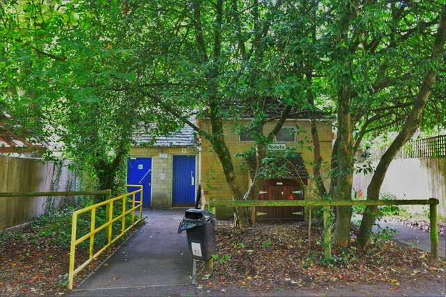
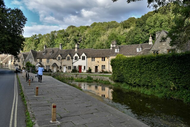
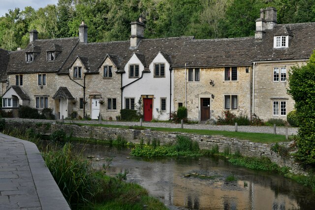
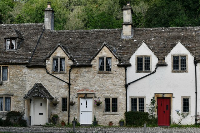
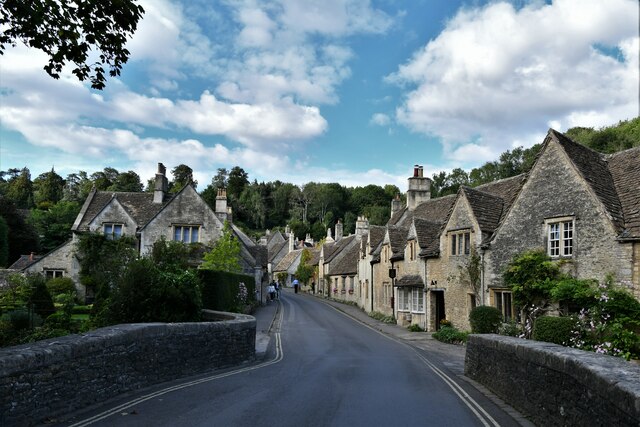
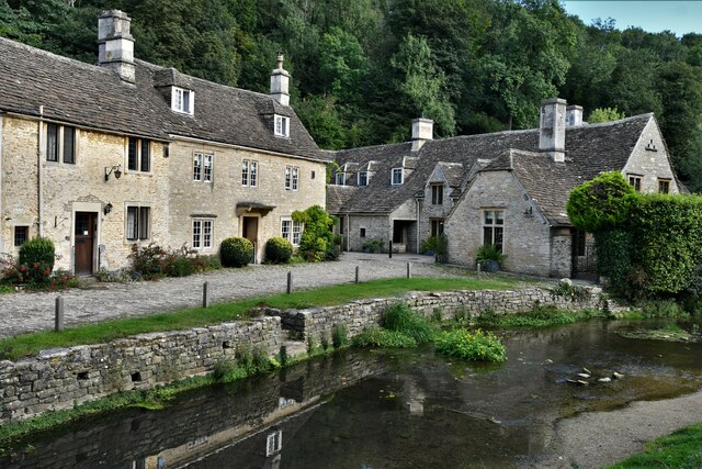
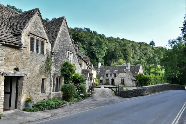
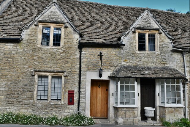
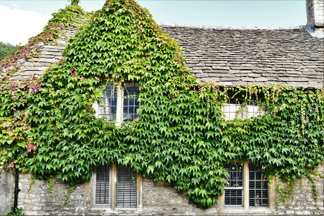
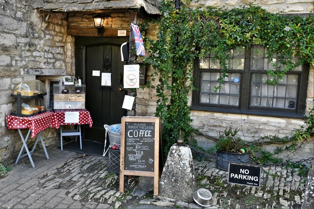
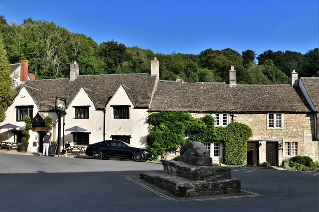
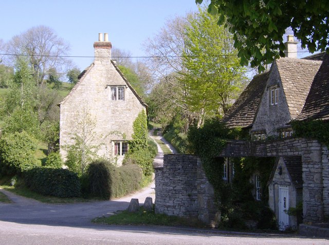
Danks Down Wood Images

Images are sourced within 2km of 51.476458/-2.2269188 or Grid Reference ST8475. Thanks to Geograph Open Source API. All images are credited.

Castle Combe: The Public Conveniences One point of interest; we were in the designated car park a long way from the village and were told there were four spaces outside the toilets. We then parked there without restriction, a short distance from the village and its parking restrictions.
Castle Combe: The Public Conveniences
One point of interest; we were in the designated car park a long way from the village and were told there were four spaces outside the toilets. We then parked there without restriction, a short distance from the village and its parking restrictions.
Castle Combe: The Street
Castle Combe: Cottages
Castle Combe: Two cottages
Castle Combe: The Street
Castle Combe: Cottages
Castle Combe: Cottage with post box
Castle Combe: Cottage
Castle Combe: Cottage offering refreshments and home made cake
Castle Combe: White Hart PH
Castle Combe, St. Andrew's Church: Chancel roof from the nave
Castle Combe, St. Andrew's Church: Chancel arch detail
Castle Combe, St. Andrew's Church: Chancel arch detail, canopied statues
Castle Combe, St. Andrew's Church: The altar
Castle Combe, St. Andrew's Church: Knight, Walter de Dunstanville memorial
Castle Combe, St. Andrew's Church: Knight, Walter de Dunstanville memorial (detail)
Show me another place!

Danks Down Wood is located at Grid Ref: ST8475 (Lat: 51.476458, Lng: -2.2269188)

Unitary Authority: Wiltshire

Police Authority: Wiltshire

What 3 Words

///airship.toasters.loyal. Near North Wraxall, Wiltshire

Related Wikis

Ford, North Wiltshire

Ford is a small village in the north-west of Wiltshire, England. The village is on the A420 road, 4 miles west of Chippenham and 11 miles east of Bristol...

Rack Hill

Rack Hill (grid reference ST842762) is a 10.6 hectare biological Site of Special Scientific Interest in Wiltshire, notified in 1975. It is also the geographical...

Danks Down and Truckle Hill

Danks Down and Truckle Hill (grid reference ST834758) is a 13.1 hectare biological Site of Special Scientific Interest in Wiltshire, notified in 1990....

West Yatton Down

West Yatton Down (grid reference ST852760) is a 14.4 hectare biological Site of Special Scientific Interest in Wiltshire, notified in 1971. The site is...

Slaughterford

Slaughterford is a small village in the civil parish of Biddestone and Slaughterford, about 5 miles (8 km) west of Chippenham, in Wiltshire, England. The...

Out Woods

Out Woods (grid reference ST833763) is a 14.3 hectare biological Site of Special Scientific Interest in Wiltshire, notified in 1975. It is an ancient Ash...

RAF Castle Combe

Royal Air Force Castle Combe or more simply RAF Castle Combe is a former Royal Air Force satellite airfield located 0.5 miles (0.80 km) southeast of Castle...

Castle Combe Circuit

Castle Combe Circuit is a motor racing circuit in Wiltshire, England, approximately 20-mile (32 km) from Bristol. The circuit is based on the perimeter...

Nearby Amenities

Located within 500m of 51.476458,-2.2269188
Ford
Is In: Wiltshire, England, UK
Place: hamlet
Postal Code: SN14 8
Wikidata: Q5467611
Lat/Long: 51.4725437/-2.2295642
Telephone
Booth: K6
Covered: booth
Listed Status: Grade II
Operator: BT
Operator Wikidata: Q593786
Phone: +44 1249 782469
Postal Code: SN14 8RP
Lat/Long: 51.4725793/-2.2300012
Bus Stop
Ford, Park Lane
Bus: yes
Naptan AtcoCode: 4600WIA11682
Naptan Bearing: E
Naptan CommonName: Park Lane
Naptan Indicator: E-bound
Naptan NaptanCode: wiladwmg
Naptan Street: Bristol Road
Naptan Verified: no
Public Transport: platform
Source: mapilary;naptan;bing;naptan_compare_tool
Lat/Long: 51.4725756/-2.2279218
Post Box
Collection Times: Mo-Fr 16:45; Sa 08:45
Drive Through: no
Operator: Royal Mail
Operator Wikidata: Q638098
Post Box Mounting: metal_post
Post Box Type: lamp
Ref: SN14 97
Royal Cypher: EIIR
Royal Cypher Wikidata: Q33102113
Source: survey
Lat/Long: 51.4725835/-2.2300705
Barrier: stile
Lat/Long: 51.4769927/-2.2224213
Barrier: stile
Bicycle: private
Foot: designated
Horse: private
Motor Vehicle: private
Lat/Long: 51.4742573/-2.2244264
Barrier: stile
Lat/Long: 51.4746516/-2.2213023
Barrier: stile
Lat/Long: 51.4756612/-2.2203867
Disused Amenity: post_box
Post Box Type: wall
Royal Cypher: GVIR
Lat/Long: 51.4725454/-2.229129
Bench
Lat/Long: 51.4779152/-2.2293503
The data included in this document is from www.openstreetmap.org. The data is made available under ODbL.

Have you been to Danks Down Wood?

Leave your review of Danks Down Wood below (or comments, questions and feedback).