White Gate Plantation
Wood, Forest in Wiltshire
England
White Gate Plantation
White Gate Plantation is a picturesque estate nestled in the heart of Wiltshire, England. Located in the Wood district, this sprawling property covers a vast area of lush forest and verdant landscapes, making it a haven for nature enthusiasts and outdoor lovers.
The plantation is renowned for its dense woodlands, which are home to a variety of indigenous flora and fauna. Towering oak, beech, and pine trees dominate the landscape, providing a serene and tranquil environment. Visitors can explore the extensive network of walking trails that wind through the forest, offering a chance to immerse themselves in the beauty of nature.
In addition to its natural charm, White Gate Plantation boasts a rich history. The estate dates back to the 18th century, and remnants of its past can still be seen today. The grand manor house, with its elegant architecture and well-preserved features, serves as a testament to the plantation's storied past.
The plantation offers a range of recreational activities for visitors. Picnic areas and designated camping spots are available, providing opportunities for families and friends to enjoy the great outdoors. Adventure seekers can partake in activities such as hiking, birdwatching, and wildlife spotting, with the chance to encounter species like deer, foxes, and various bird species.
White Gate Plantation, with its stunning woodland scenery and historical significance, offers a peaceful retreat for those seeking solace in nature's embrace. Whether one seeks a leisurely stroll through the forest or an immersive outdoor experience, this Wiltshire gem promises an unforgettable journey into the heart of the Wood district.
If you have any feedback on the listing, please let us know in the comments section below.
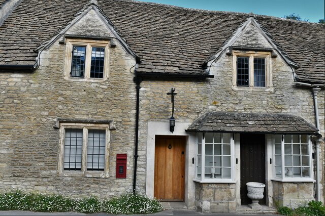
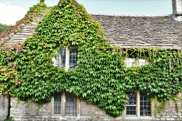
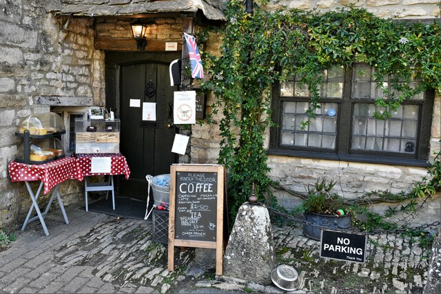
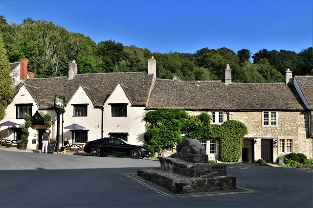
White Gate Plantation Images
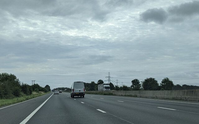
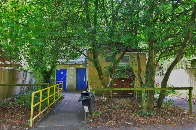
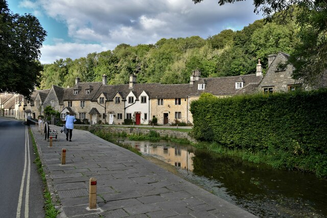
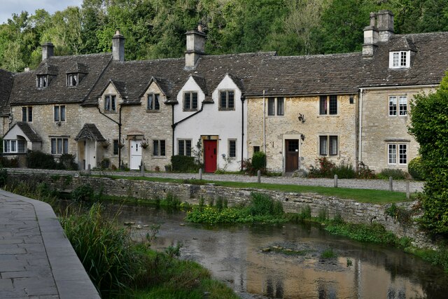
Images are sourced within 2km of 51.499563/-2.2287479 or Grid Reference ST8477. Thanks to Geograph Open Source API. All images are credited.
White Gate Plantation is located at Grid Ref: ST8477 (Lat: 51.499563, Lng: -2.2287479)
Unitary Authority: Wiltshire
Police Authority: Wiltshire
What 3 Words
///engrossed.bottom.months. Near Nettleton, Wiltshire
Related Wikis

Castle Combe Castle
Castle Combe Castle stood to the north of the village of Castle Combe, Wiltshire, England. The castle was a medieval motte and bailey castle standing on...

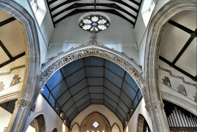
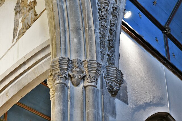
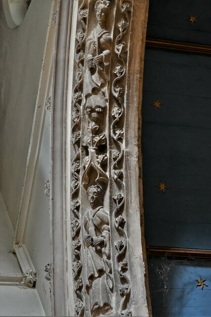
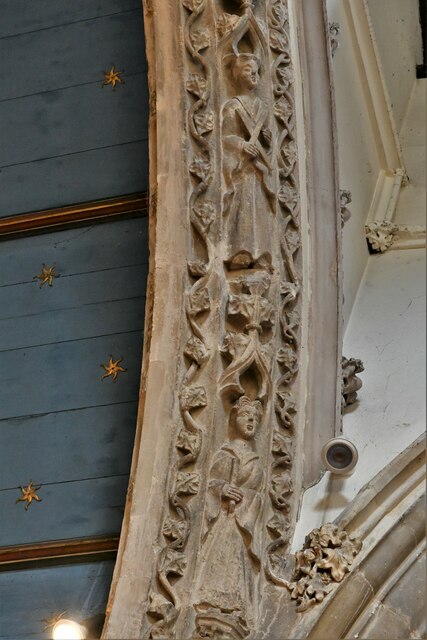
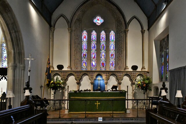
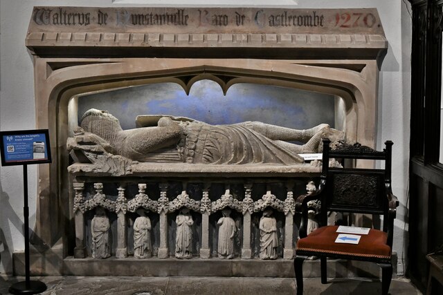
St Andrew's Church, Castle Combe
St Andrew's is a parish church in Castle Combe, Wiltshire, England, built in the 13th century with additions in later centuries. It was restored due to...

Castle Combe Clock
The Castle Combe clock in St. Andrew's Church, Castle Combe, Wiltshire, England was probably made in the late 15th century. It is faceless and strikes...

The Manor House, Castle Combe
The Manor House is a 17th-century country house hotel in Castle Combe, Wiltshire in the south of England. == History == The Manor House is noteworthy for...
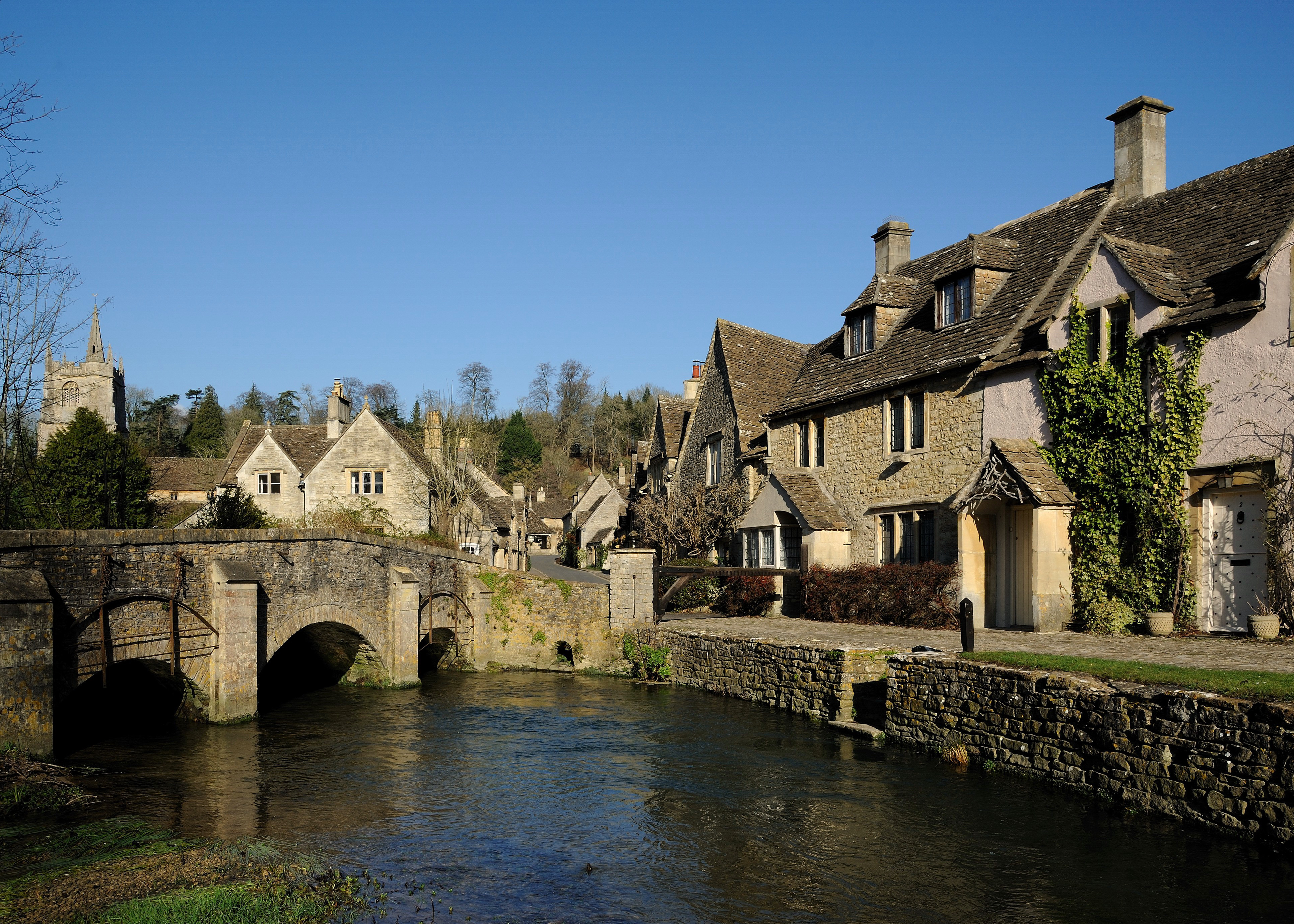
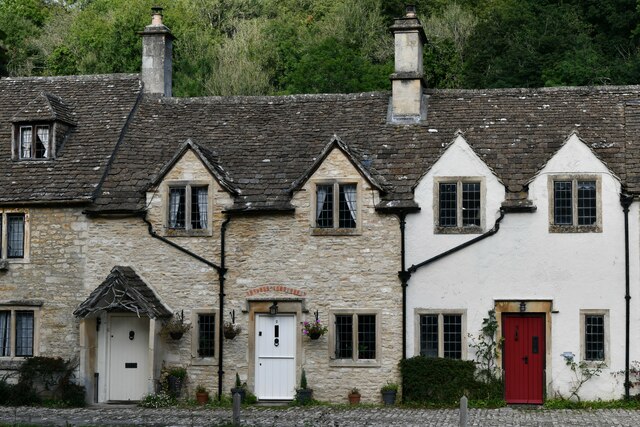
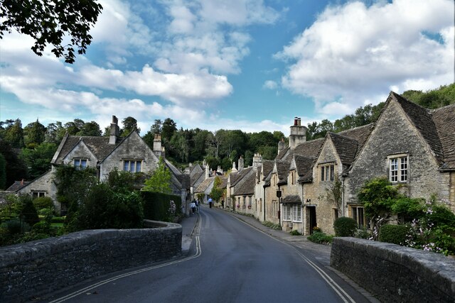
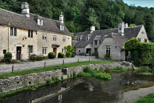
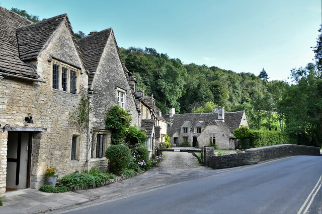
Castle Combe
Castle Combe is a village and civil parish within the Cotswolds Area of Outstanding Natural Beauty in Wiltshire, England. The village is around 5 miles...

Nettleton Mill
Nettleton Mill is a mill house in Wiltshire, England, on the banks of the Bybrook River, to the south-east of Nettleton. Part of the Castle Combe estate...
Fosse Farmhouse
Fosse Farmhouse is an 18th-century farmhouse in the English Cotswolds near the Fosse Way and Castle Combe. It is now used to provide hospitality and accommodation...
Little Grubbins Meadow
Little Grubbins Meadow (grid reference ST831773) is a 3.0 hectare biological Site of Special Scientific Interest in Wiltshire, England, notified in 1975...
Nearby Amenities
Located within 500m of 51.499563,-2.2287479Have you been to White Gate Plantation?
Leave your review of White Gate Plantation below (or comments, questions and feedback).